ヴァールハイムの絶景の山頂・トップ3
絶景を目指して登るのであれ、達成感のために登るのであれ、山頂を訪れることで、ヴァールハイムの美しい自然をもっと満喫することができます。3
もの選択肢の中から、制覇する山頂を決めるのは簡単ではありません。スムーズに次の冒険で目指す山頂を選べるように、ヴァールハイムの素晴らしい山頂をこのガイドにまとめました。
最終更新日: 7月 23, 2026
Herrgottspfadからペータースベルク山頂へ
ハイライト • トレイル
翻訳者 Google •
役立つ情報 は

カッペルベルク山頂(ラインヘッセンで最も高い地点)
ハイライト • 山頂
翻訳者 Google •
役立つ情報 は

今すぐサインアップして、こんな場所を発見しよう
最高のシングルトラック、ピーク、その他のエキサイティングなアウトドアスポットのおすすめを受け取ろう。
無料新規登録
カッペルベルクへの道中にあるシェルター
ハイライト • 山小屋
翻訳者 Google •
役立つ情報 は

ペータースベルクへ行こう
ハイライト • 山頂
翻訳者 Google •
役立つ情報 は

Galgenberg
ハイライト • 展望台
翻訳を表示中
役立つ情報 は

無料アカウントで今日から始めよう
次の冒険が待っています。
ログインまたは登録
コミュニティからのヒント

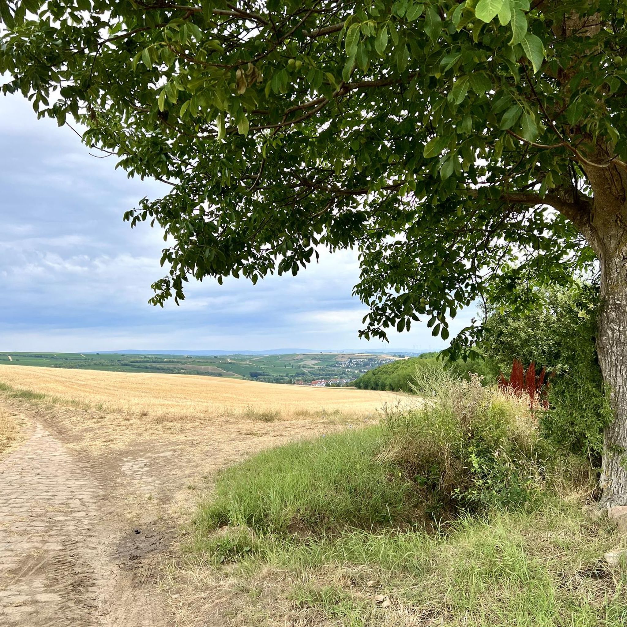
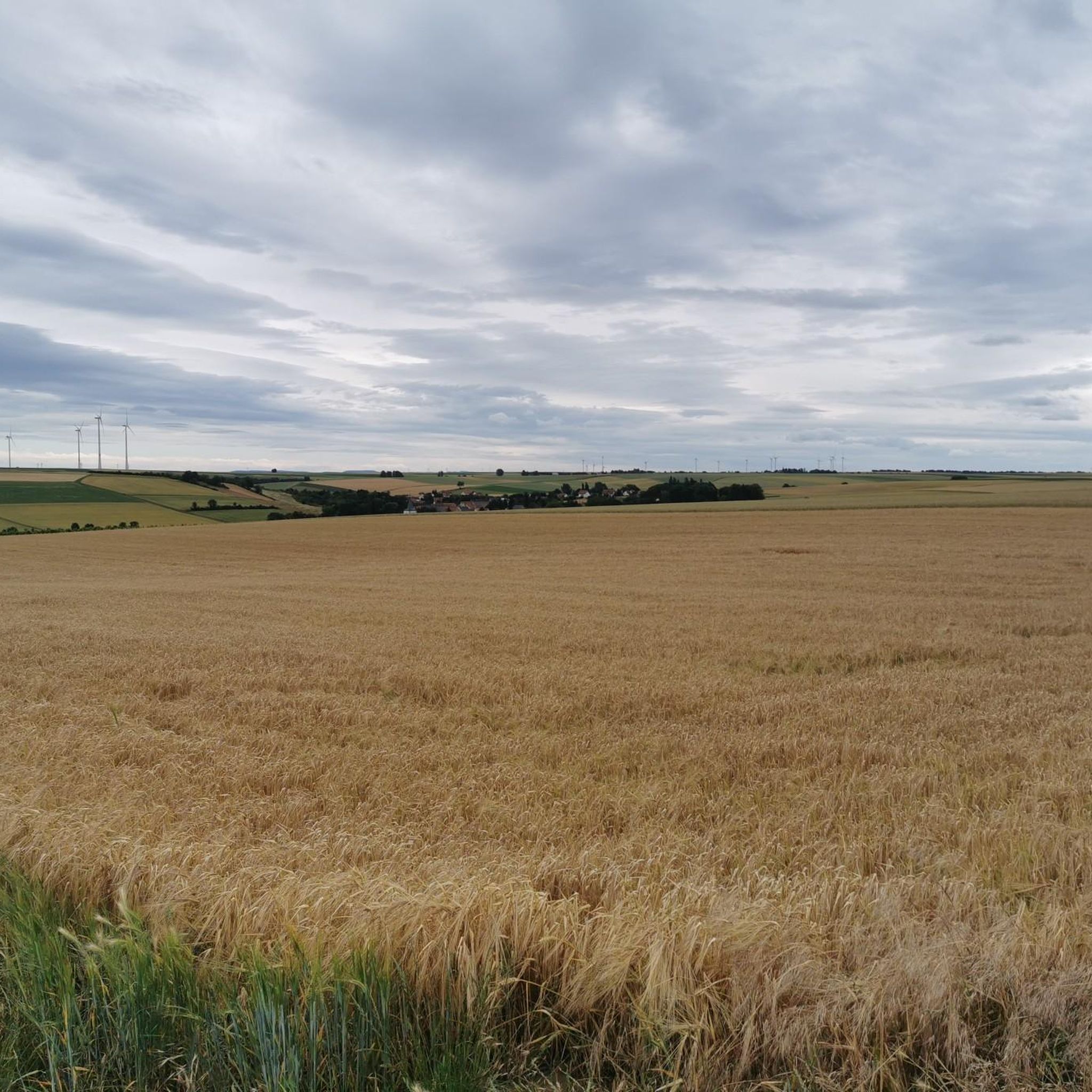
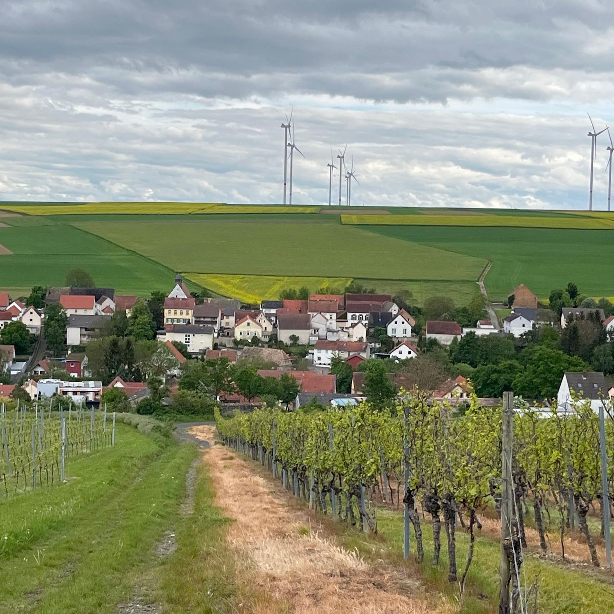
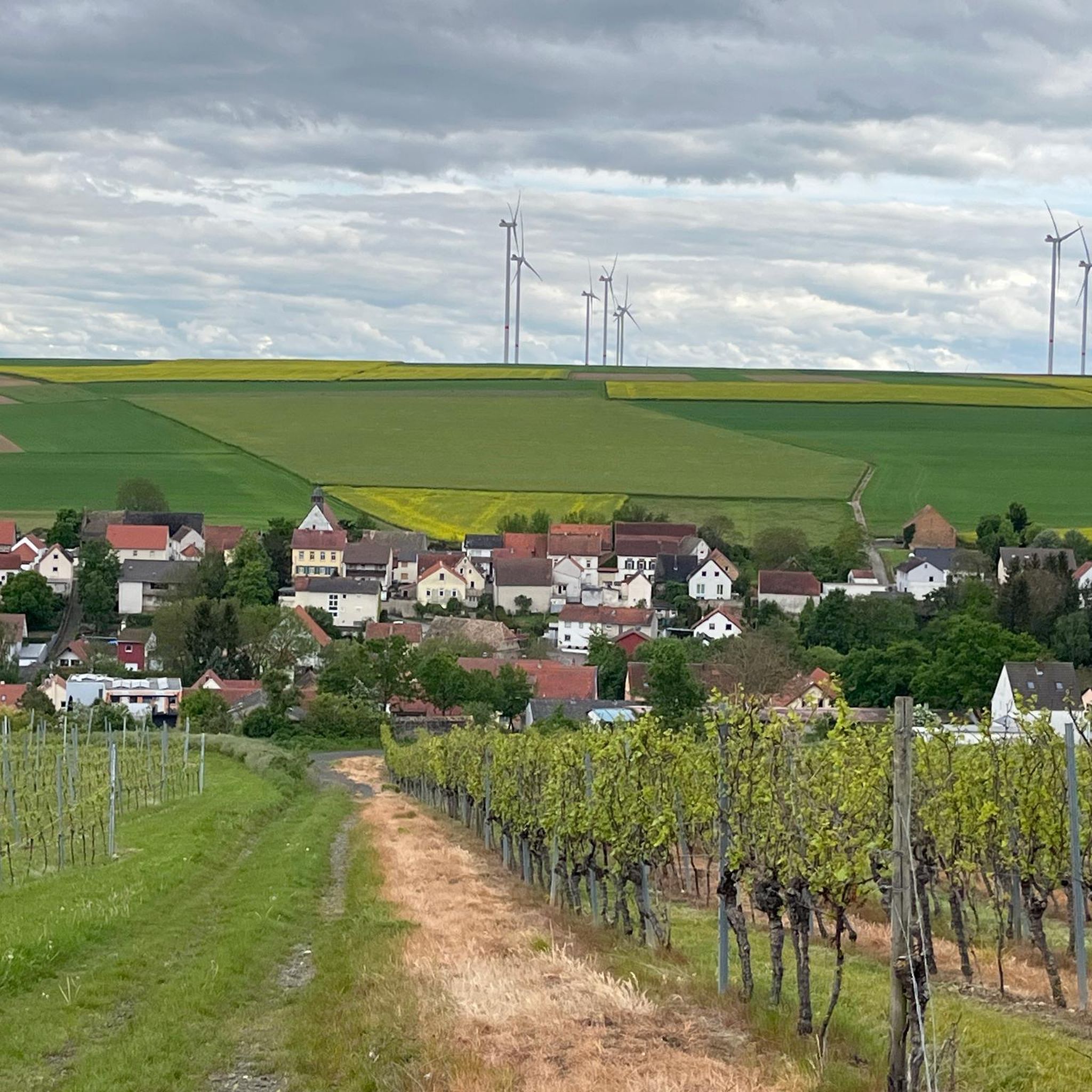
ガルゲンベルクは実際にはアルビッヒとアルツァイ=シャーフハウゼンの間にある標高250メートルの丘で、最初は信じられませんでした。背景には、私たちの地域では山の名前はほとんどブドウ畑の名前として使われており、バデンハイムのシュプレンクリンゲン近郊には「ガルゲンベルク」という名前の畑がありますが、アルツァイの近くにはありません。また一つ学びました。それでも、この地域はおすすめです。今日の私の周回では、タウヌスのフェルダベルク、ベルクシュトラーセのメリボクス、ペータースベルク(ガウ=オーデルンハイム)、ホルンベルク(フレーマースハイム)、ヴァルトベルク(アルツァイ)、そしてドナーベルクを見ることができました。素晴らしい収穫です!
0
0


Firstly, from there, you have a wonderful panoramic view of the surrounding Rhenish-Hessian villages. At 245 m, the Petersberg is one of the defining hills of the Mainz Basin, as Rhenish-Hessian is known geologically. Unlike the other table mountains of the Rhenish-Hessian hills with their limestone caps, the Petersberg lacks these. In rainy seasons, this leads to landslides on the slopes due to water penetrating between the marl and sand layers – as in other places in the Mainz Basin. At the top of the Petersberg, you can still see the remains of the 10th-century surrounding wall of St. Peter's Church. The legend of the Three Sisters surrounds this church, as well as the pilgrimage chapel on the Nazarienberg in Mommenheim and the mountain church in Udenheim.
0
0

358m ü. NHN いくつかの休憩用ベンチがあります
1
0

The narrow grass path was quite overgrown and was therefore not at all pleasant to walk on
1
0

The Herrgottspfad to Petersberg is part of the Way of St. James. Markings can be found before the ascent, opposite the former viewing bench
0
0

From here, the climb to the Petersberg is worthwhile - the "mountain rating" to the summit at 245 meters is about 2 kilometers. At the top are the ruins of St. Peter's Church from the 10th century, once an important three-aisled basilica. In addition, of course, there are fantastic views over Rheinhessen and a rest at the "tables of wine". Here at the southern foot of the Petersberg you can also admire the largest collection of wild tulips north of the Alps.
2
0

Stay on the main paths, even if it's a few kilometers longer. The single trails and sub-paths are largely overgrown and impassable.
1
1
ヴァールハイムでのの人気観光スポット

komootモバイルアプリでインスピレーションを得よう


さらに探索
これらのガイドでさらに素晴らしい頂上を見てみましょうヴァールハイムでの:
