グラールス・スードの絶景の山頂・トップ20
絶景を目指して登るのであれ、達成感のために登るのであれ、山頂を訪れることで、グラールス・スードの美しい自然をもっと満喫することができます。20
もの選択肢の中から、制覇する山頂を決めるのは簡単ではありません。スムーズに次の冒険で目指す山頂を選べるように、グラールス・スードの素晴らしい山頂をこのガイドにまとめました。
最終更新日: 9月 13, 2026
Vorder Glärnisch山頂
ハイライト • 山頂
翻訳者 Google •
役立つ情報 は

ブリュンネリストック
ハイライト • 山頂
翻訳者 Google •
役立つ情報 は

今すぐサインアップして、こんな場所を発見しよう
最高のシングルトラック、ピーク、その他のエキサイティングなアウトドアスポットのおすすめを受け取ろう。
キステンシュトックリ
ハイライト • 山頂
翻訳者 Google •
役立つ情報 は

マッシュゲンカム
ハイライト • 山頂
翻訳者 Google •
役立つ情報 は

ムルクゼー・フルッゲル峠
ハイライト • 山道
Beautiful view of the Murgsee
翻訳者 Google •
役立つ情報 は

無料でサインアップして、さらに多くの山を発見しましょう グラールス・スードでの。
すでにアカウントをお持ちですか?




コミュニティからのヒント

Great panoramic restaurant with super delicious barley soup 🤤 Great view and many hiking destinations from here.
8
0

At the top there is a small artificial pond and not far away there is a small, mysterious elephant.
0
0

The panoramic view of several valleys from the summit cross is something magical and special. The climb, with its almost constant glimpse of waterfalls, is a refreshing relief from the steep effort. Rarely can you hike 1,300 meters up and down and, incidentally, park for free right at the foot of the mountain, where the trail starts. There's also a barbecue area right at the waterfall's outlet.
0
0

The Brünnelistock appears inaccessible from the Zindlenspitz or Rossalpelispitz. But if you stand in the gap between Rossalpelispitz and Brünnelistock (P. 1990), you can see that it is well graded. The path climbs almost 150 meters up to the summit, initially next to the ridge, later directly on it with one or two climbing sections (I-II). There are no more safety devices here, but at each climbing section there are several ways to get up. Absolute surefootedness and a good head for heights are required here. Advanced alpine hikers can also cross the Brünnelistock (preferably from northeast to southwest). But then we are at difficulty level T5 with climbing sections II.
1
0
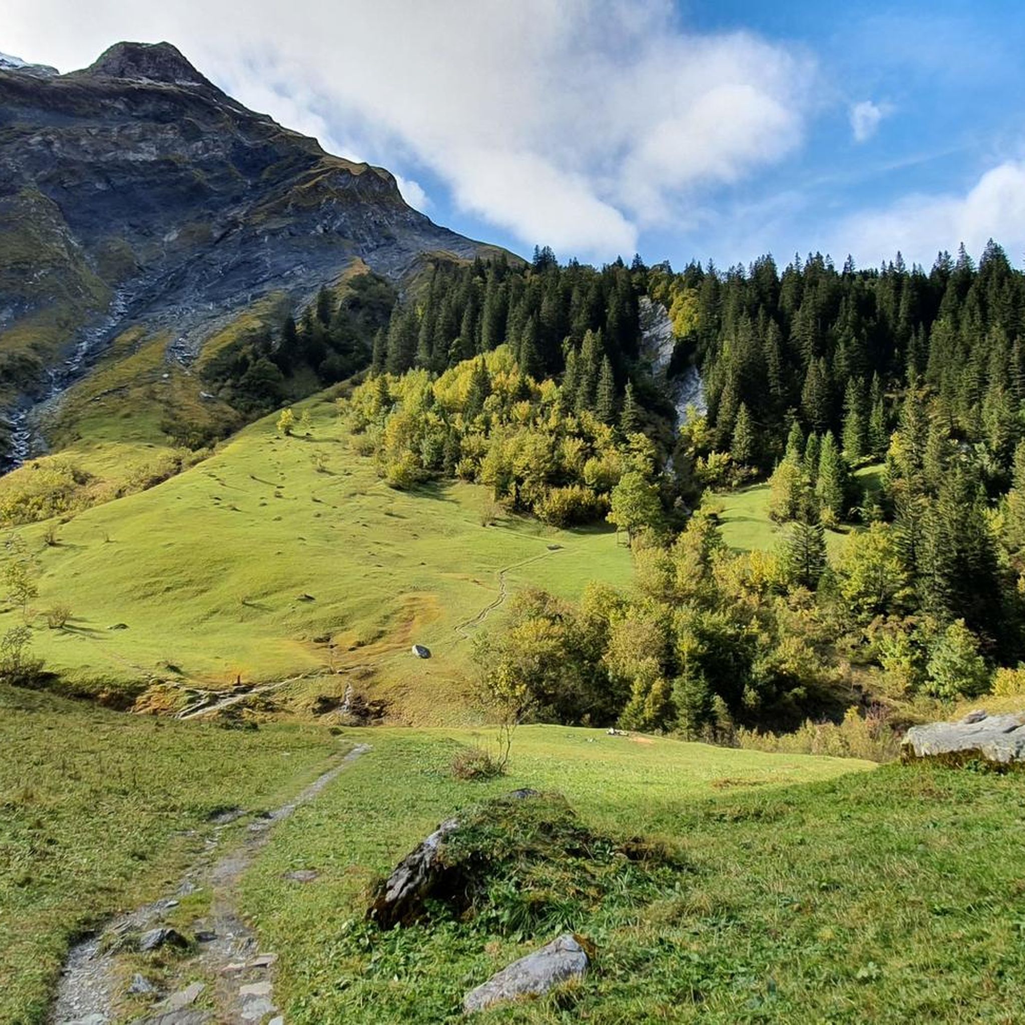
The Vorder Glärnisch is a prominent peak in the Glarus region. As it lies directly below the majestic Glärnisch, it may not be that interesting as a summit destination at first glance. A white-blue-white marked path leads up from the northwest. Sure-footed and vertigo-free alpine hikers with as little fear of heights as possible can also reach it from the southeast via Schwänder Sienen, Chilchli, Garenplatz and Hanslirus.
1
0

Experience in rough and exposed terrain as well as surefootedness and a head for heights are necessary
5
0

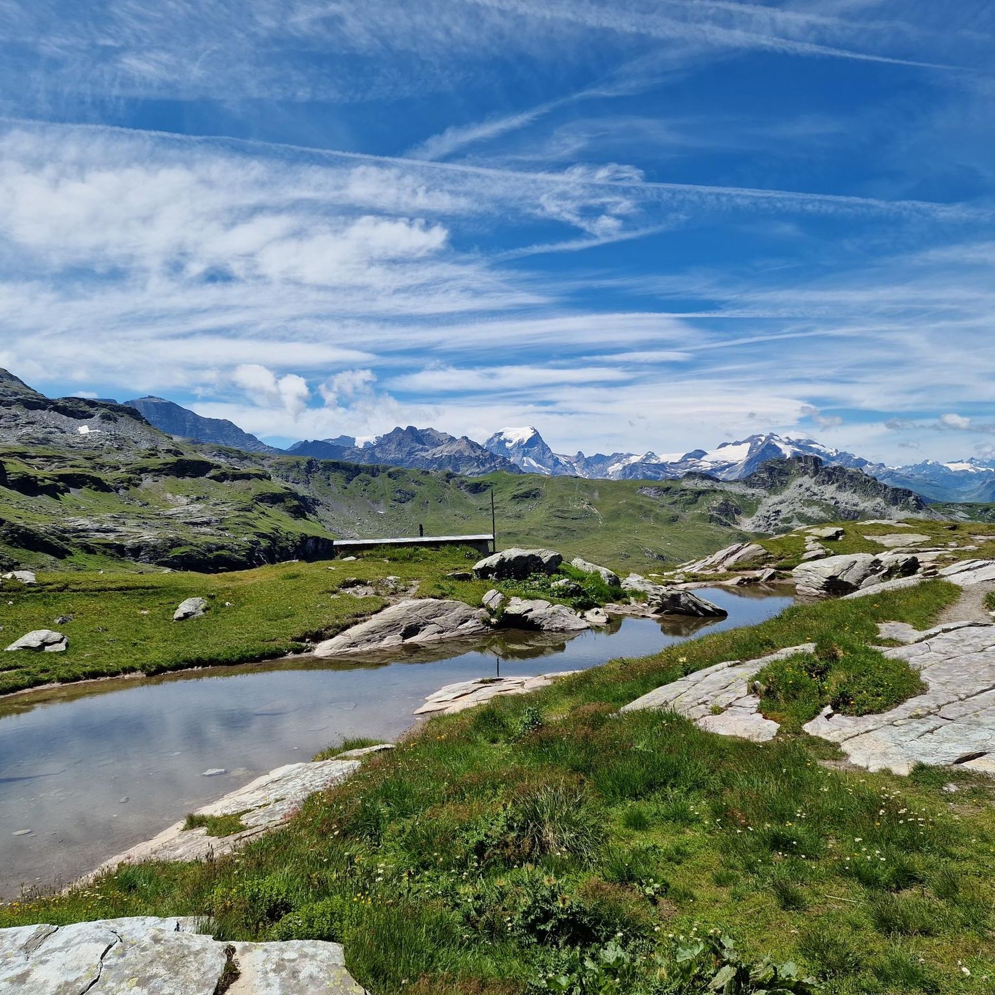
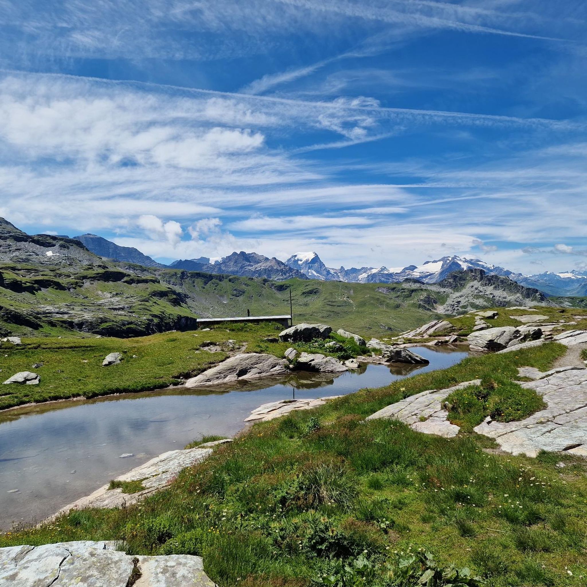
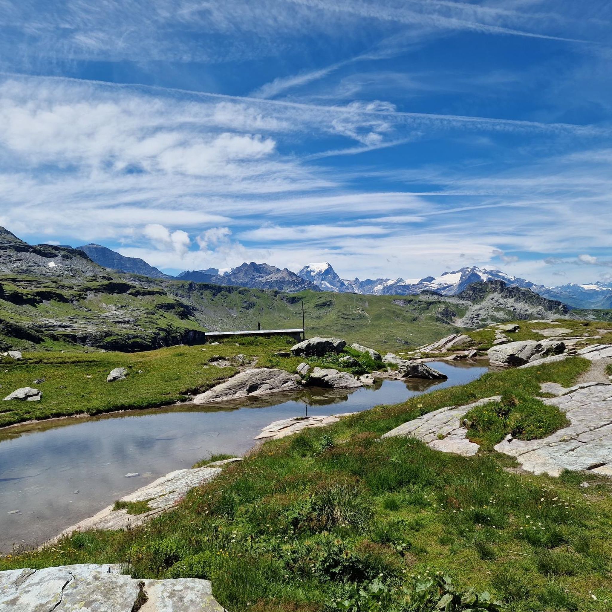
Pass crossing Murgseefurgglen / Mürtschenfurgglen 1985 m above sea level SG / GL (saddle) Beautiful view of the Murgsee
10
0

Pass crossing (saddle, 1985 m) between the Murgseen (SG) and the Mürtschental (GL), exactly on the canton border SG/GL. Super views in both directions.
4
0

komootモバイルアプリでインスピレーションを得よう


