ブニャーラの絶景の山頂・トップ3
絶景を目指して登るのであれ、達成感のために登るのであれ、山頂を訪れることで、ブニャーラの美しい自然をもっと満喫することができます。3
もの選択肢の中から、制覇する山頂を決めるのは簡単ではありません。スムーズに次の冒険で目指す山頂を選べるように、ブニャーラの素晴らしい山頂をこのガイドにまとめました。
最終更新日: 8月 23, 2026
モンテ・ジェンツァーナ
ハイライト • 山頂
翻訳者 Google •
役立つ情報 は

モンテ・ミトラ山頂の十字架
ハイライト • 山頂
翻訳者 Google •
役立つ情報 は

今すぐサインアップして、こんな場所を発見しよう
最高のシングルトラック、ピーク、その他のエキサイティングなアウトドアスポットのおすすめを受け取ろう。
無料新規登録
Cima della Terratta
ハイライト • 山頂
翻訳者 Google •
役立つ情報 は

リフージョ・コッレ・デッレ・ヴァッケとクローチェ
ハイライト • 山小屋
翻訳者 Google •
役立つ情報 は

マイエッラ山とモンテ・モッローネ山の眺め
ハイライト (セグメント) • 展望台
翻訳者 Google •
役立つ情報 は

無料アカウントで今日から始めよう
次の冒険が待っています。
ログインまたは登録
コミュニティからのヒント

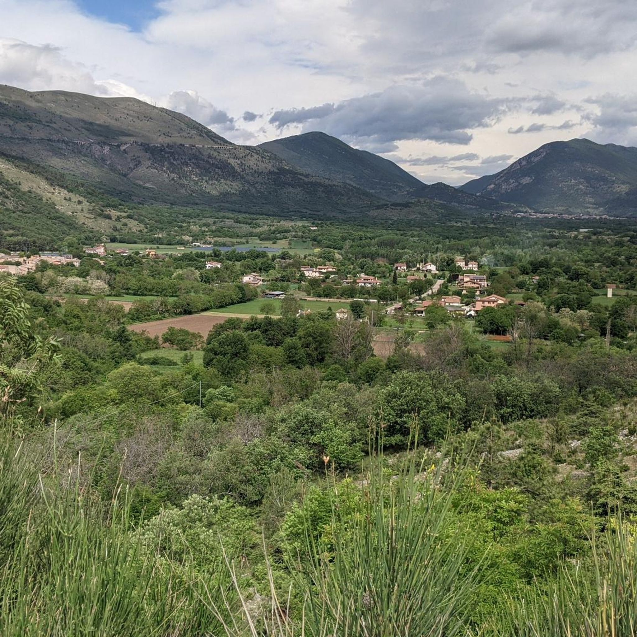
Mount Genzana (2,170 m above sea level) is a mountain in the Abruzzo Apennines, belonging to the Marsicani Mountains group, located in the province of L'Aquila in lower Abruzzo, between the municipalities of Pettorano sul Gizio, Scanno, and Introdacqua. The route is sometimes technical; you'll encounter scree and rocks, and in some places the trail is not visible. Despite this, you'll be rewarded with a fantastic view! A windbreaker is a must for the descent, as temperatures drop quickly in cloudy weather.
0
0
Altitude 2170 m on the summit of Monte Genzana
0
0

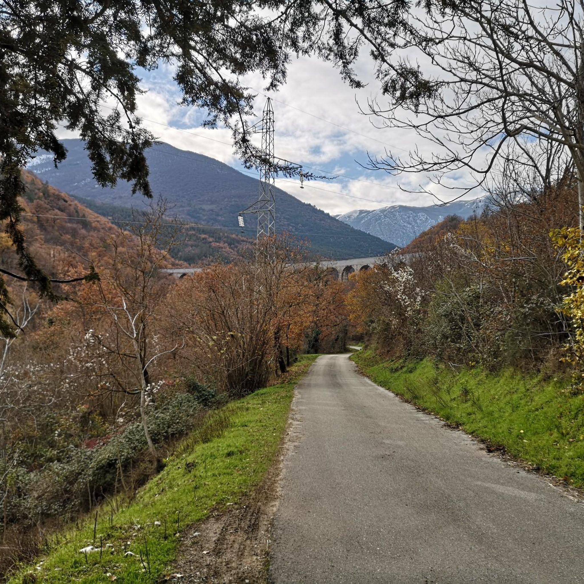
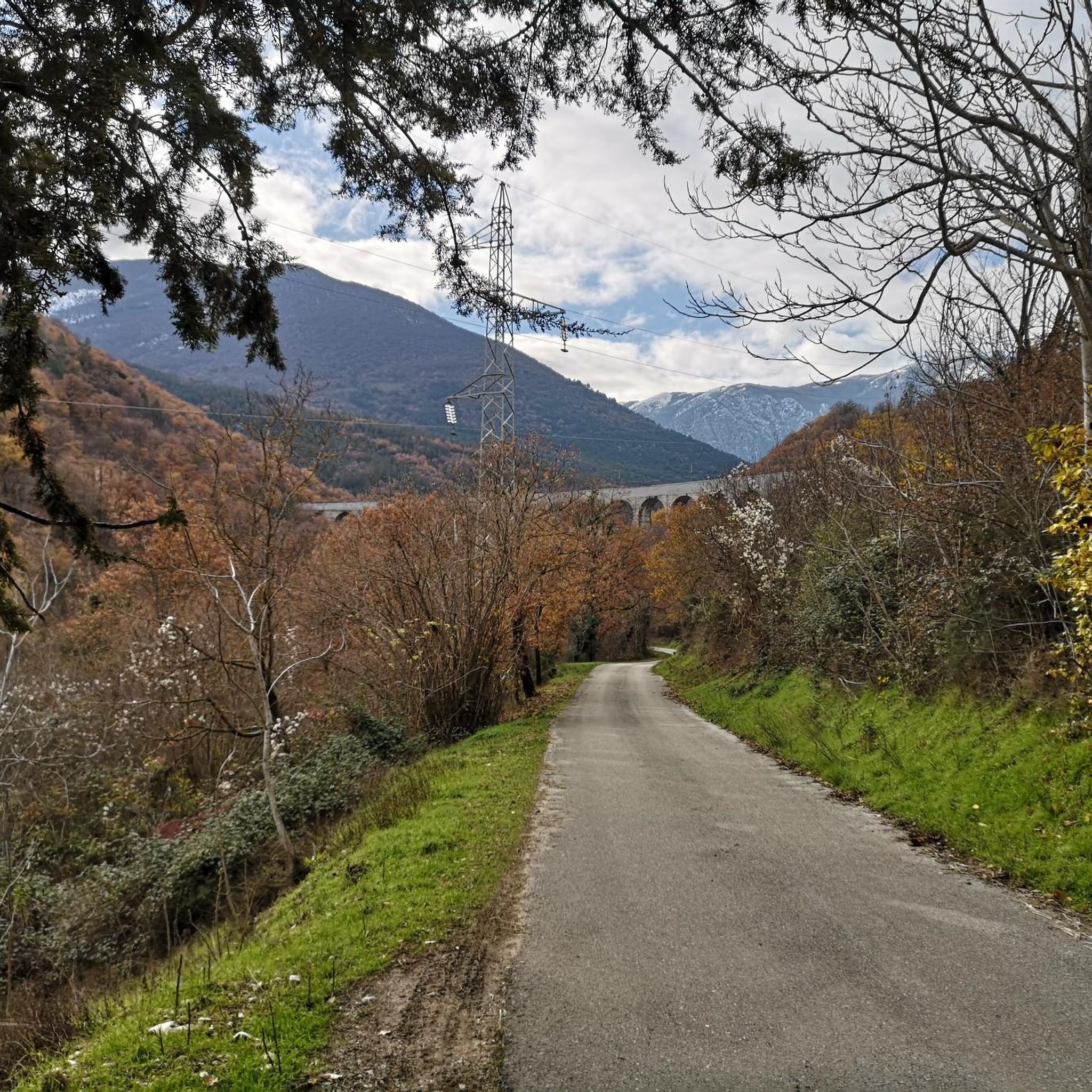
Hiking along the road is quite grueling, but it offers excellent views of the mountains in five surrounding major mountain protected areas: the two regional nature parks of Sirente Velino to the northwest and Monti Simbruini to the southwest, and the three national parks of Gran Sasso to the north/northwest, Majella to the east/northeast, and Abruzzo to the south. Particularly impressive are the nearby mountain ranges of the Majella National Park to the northwest, including the 2,061-meter-high Monte Morrone, which also gave its name to the nearby monastery in Badia. The best views north toward Gran Sasso are when crossing the highway.
1
0

The Colle delle Vacche refuge with its crosses is an iconic place in the Majella Park and represents a crossing point for numerous paths in the area.
0
1
The Colle delle Vacche refuge with its crocce is an iconic place in the Majella Park and represents a crossing point for numerous MTB trails in the area.
2
0

Monte Mitra reaches an altitude of 1067 m asl, is located in the Majella park and is part of the Monte Rotella group which is the southernmost chain.
1
0

Arrival point with fountain and tables
0
0

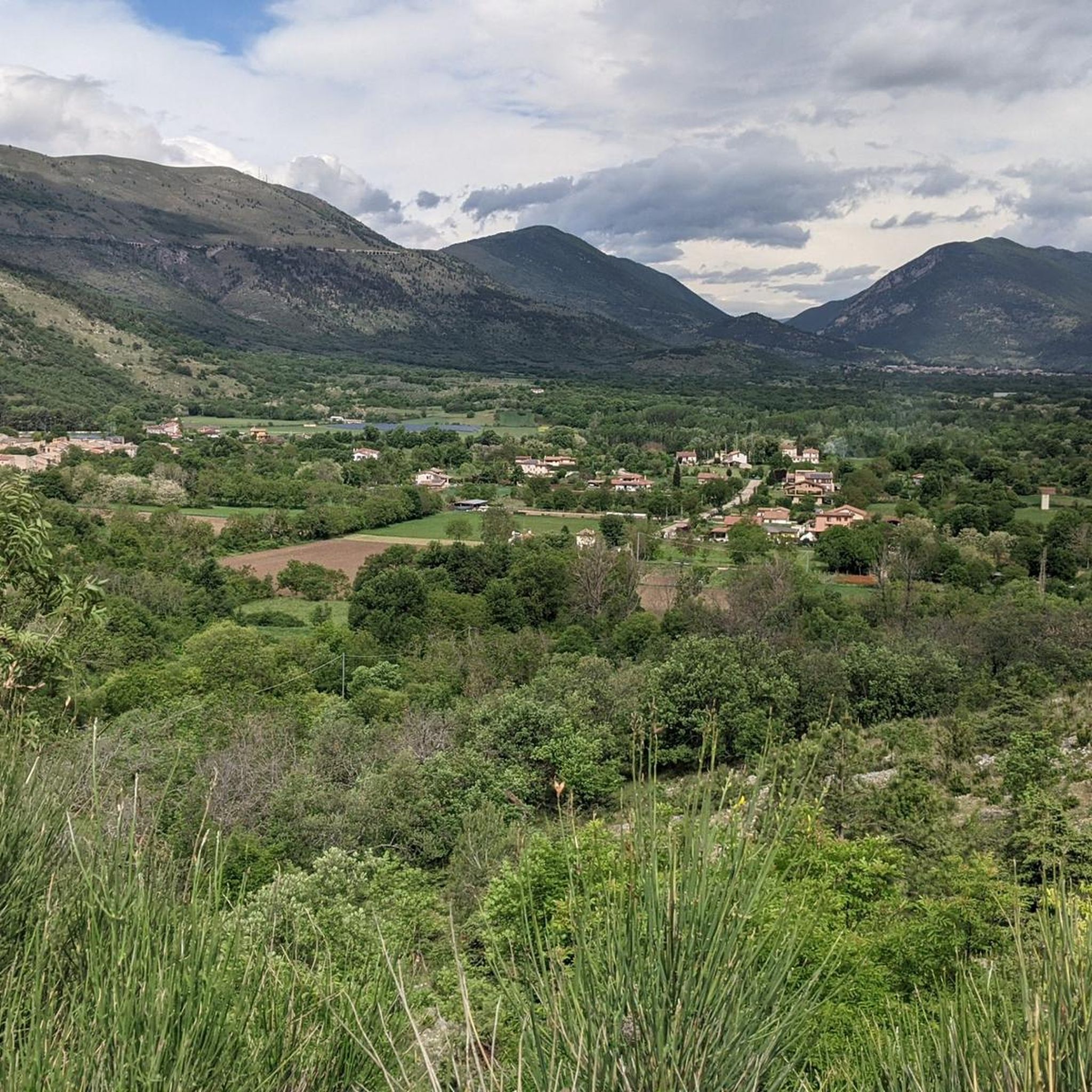
from here you can enjoy a spectacular view. On clear days you can see the Fucino plain and the Gran Sasso
0
0
ブニャーラでのの人気観光スポット

komootモバイルアプリでインスピレーションを得よう


さらに探索
これらのガイドでさらに素晴らしい頂上を見てみましょうブニャーラでの:
