ミヨーの峡谷・トップ12
ミヨーには 12
の息を呑むほど美しい峡谷があります。以下に紹介する必見の峡谷一覧に掲載されている写真、おすすめ情報、その他のデータを参考にして、次の冒険でミヨーの美しい峡谷を訪れる際に役立てましょう。
最終更新日: 8月 29, 2026
ラ・ロック・サント・マルグリット
ハイライト • 集落
翻訳者 Google •
役立つ情報 は

ベルヴェデーレ・モンペリエ・ル・ヴュー
ハイライト • 峡谷
翻訳者 Google •
役立つ情報 は

今すぐサインアップして、こんな場所を発見しよう
最高のシングルトラック、ピーク、その他のエキサイティングなアウトドアスポットのおすすめを受け取ろう。
無料新規登録
ゴルジュ・デュ・タルンの南の起点
ハイライト • 峡谷
Be careful it climbs 🚴♀️
翻訳者 Google •
役立つ情報 は

ジョントの南側のコルニッシュ
ハイライト (セグメント) • 峡谷
It goes from panorama to panorama (more than a dozen panoramas are on this trail), …
翻訳者 Google •
役立つ情報 は

タルン川
ハイライト • 川
翻訳者 Google •
役立つ情報 は

ルジエ・ド・カマレス
ハイライト • 自然
翻訳者 Google •
役立つ情報 は

シルク・デュ・ブンドゥラウのコルニッシュ
ハイライト (セグメント) • 峡谷
翻訳者 Google •
役立つ情報 は

ラヴァン・ド・ラ・モンナ
ハイライト • 展望台
翻訳者 Google •
役立つ情報 は

トゥルヌミールのシルク
ハイライト (セグメント) • 峡谷
翻訳者 Google •
役立つ情報 は
ロック・デ・ザギュドからの眺め
ハイライト • 展望台
翻訳者 Google •
役立つ情報 は
無料でサインアップして、さらに多くの峡谷を発見しましょう ミヨーでの。
無料新規登録
すでにアカウントをお持ちですか?
無料アカウントで今日から始めよう
次の冒険が待っています。
ログインまたは登録
ミヨー周辺で人気

The Grande traversée du Massif Central by gravel bike

セベンヌからピレネ山脈まで - ヘクサトレックは峡谷と石灰石台地の間
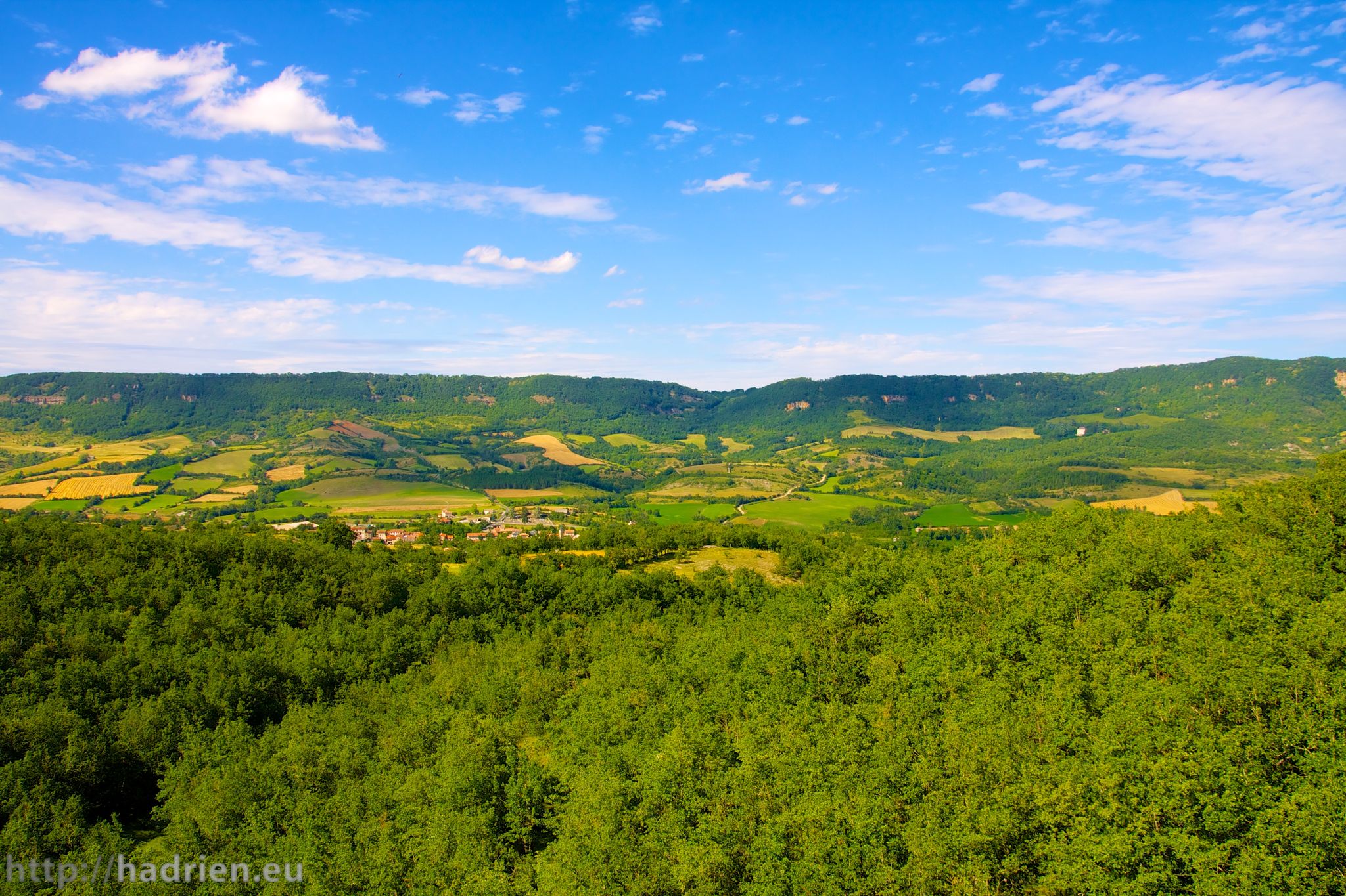
ロクフォールとアリゴーの山と谷 — アベイロンツアー
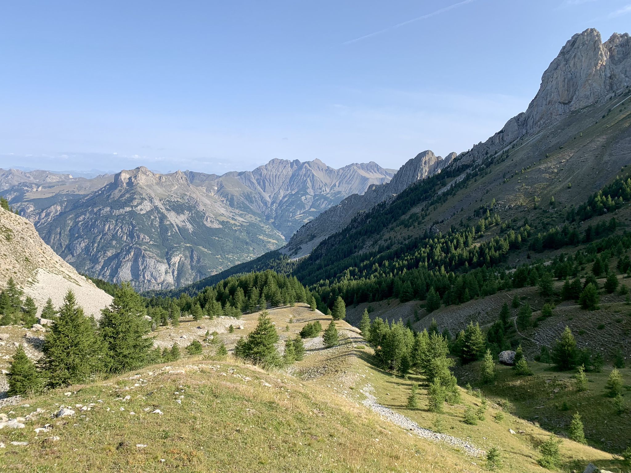
アルプスから大西洋へ — GR 6
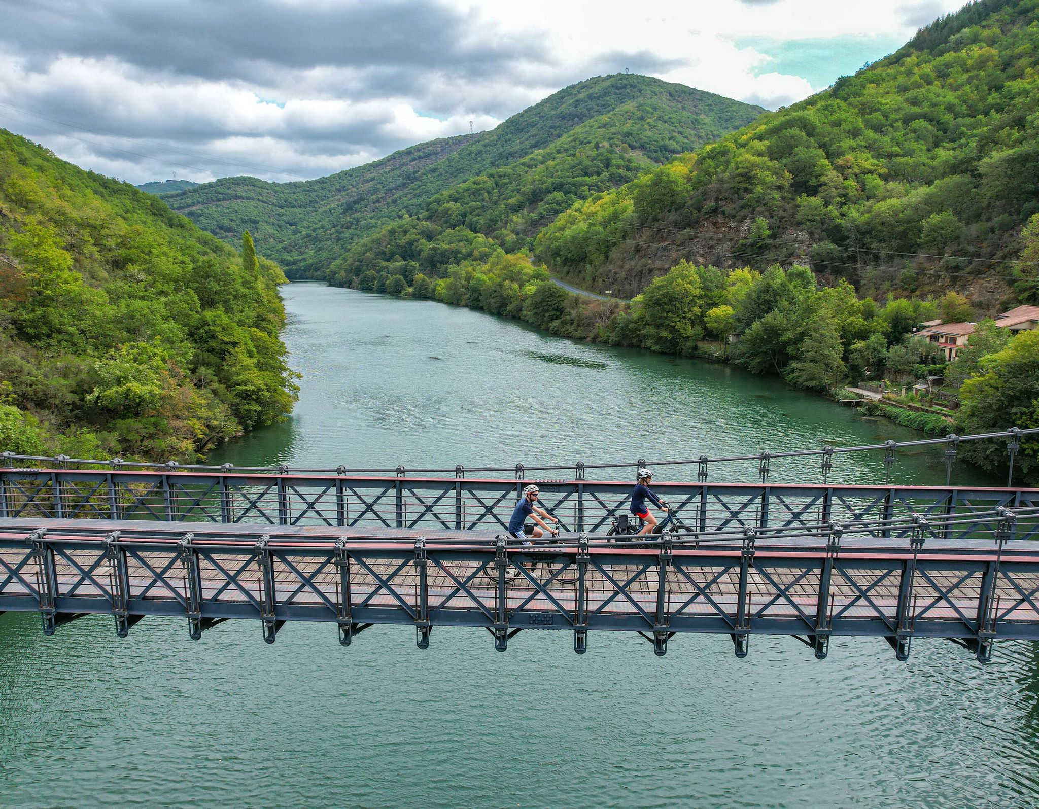
The "Most Beautiful Villages of France" in Aveyron
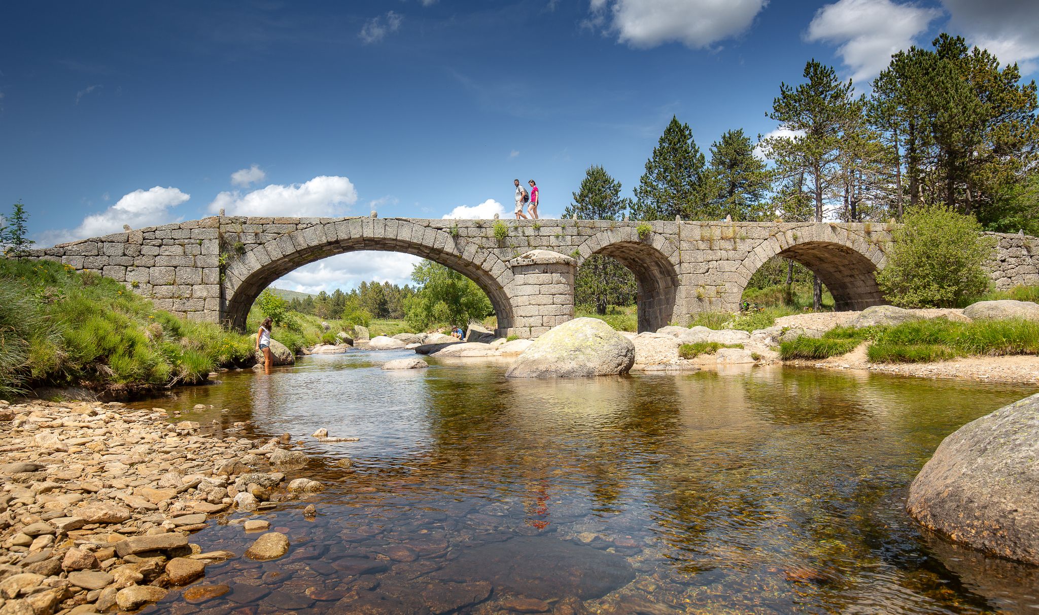
The most beautiful walks in Lozère
L'EspérouでがLodèveでが、GR 71のインスを有効しています。
フランスのGR 62A - MeyrueisからLa Roque-Sainte-Margueriteまで
フランスの伝説のトレイル - テンプリアー祭りのレース
Aveyron アイクロール-サラルダアイルドランド
ミヨーでのの他の冒険


コミュニティからのヒント

A trail that follows the heights of the cliffs that make up the Jonte Gorges. It goes from panorama to panorama (more than a dozen panoramas are on this trail), and every time you think you've seen it all, it will offer you new perspectives, or a view of cliffs and rocks you hadn't seen before! Be careful, the trail is close to the edge at times, be aware (especially if you are prone to vertigo). Be careful, there are a few short steep sections, and quite often roots that are slippery when wet. Finally, be careful, the trail is largely within a protected biological reserve. Please be respectful and quiet.
0
0


The rock formation covers approximately 120 hectares. It was formed by corrosion of the dolomite rock of the Causse Noir. It was originally assumed that the rocks were a ruined city, and it was not until 1870 that a trench was cut through the rocks. The speleologist Edouard-Alfred Martel was the first to map the rocks in 1883-1884.
7
0
The rock formation is located in the western part of the department on the high plateau of the Causse Noir. To the north lie the rivers Tarn and Jonte, to the south lie the Dourbie gorges, and to the west lies the town of Millau.
7
0

Located in the department of Aveyron, Roque-Sainte-Marguerite presents a typical setting of Occitania. The village has a notable architectural ensemble, including traditional houses and historical remains. Its position near the Dourbie gorges and within the Grands Causses offers visitors a variety of opportunities to explore the surrounding nature and indulge in outdoor activities.
0
0

Superb view point over the Monna ravine and the Dourbie valley.
0
0

Magnificent spot with its beautiful mountains ⛰ Be careful it climbs 🚴♀️
1
0

The Roc des Agudes is a perfect belvedere for admiring the Tarn and Jonte gorges (and therefore the foothills of the Causse Méjean and the Causse Noir) from the southern end of the Causse de Sauveterre.
0
0
ミヨーでのの人気観光スポット

komootモバイルアプリでインスピレーションを得よう


探していたものは見つかりませんでしたか?
さらに多くの渓谷を見たいですか?地域ごとの最高のものを見てみましょうミヨーでの:
さらに探索
この地域で全てを発見しましたか?次の冒険のために追加の渓谷を見てみましょうミヨーでの:
