マンヘイの滝・トップ6
そこへたどり着くまでの移動手段がなんであれ、息を呑むような体験をもたらしてくれる滝。マンヘイには行ってみたい6
の美しい滝があります。次のアウトドアの旅で行きたい滝を決められるよう、それぞれの滝についての写真や役立つ情報を以下に掲載しています。参考にして、スムーズに次の冒険を計画しましょう。
最終更新日: 10月 17, 2026
ホマリウスの岩と滝
ハイライト • 滝
翻訳者 Google •
役立つ情報 は

川沿いの岩場のダウンヒルトレイル
ハイライト (セグメント) • トレイル
役立つ情報 は

今すぐサインアップして、こんな場所を発見しよう
最高のシングルトラック、ピーク、その他のエキサイティングなアウトドアスポットのおすすめを受け取ろう。
ネプチューン洞窟と滝、オトン
ハイライト • 洞窟
翻訳者 Google •
役立つ情報 は

アンブレーヴ川沿いの小さな滝
ハイライト • 滝
翻訳を表示中
役立つ情報 は

橋と滝のある森の小道
ハイライト (セグメント) • トレイル
翻訳者 Google •
役立つ情報 は

無料でサインアップして、さらに多くの滝を発見しましょう マンヘイでの。
すでにアカウントをお持ちですか?
無料アカウントで今日から始めよう
次の冒険が待っています。

コミュニティからのヒント


At approximately 37 meters, the summit of the Homalius Rock, better known as the Falize Rock or Anticline, is literally the highest point in Durbuy. It has been a highlight for many visitors for years, thanks in part to the surroundings and beautiful water features. The rock is somewhat older than the average visitor. It's said to be more than 300 million years old. However, the rock layers are much older: around 375 million years old. The name Anticline comes from the geological phenomenon known as an anticline. It's the opposite of a syncline. While the former is a fold formed over many years, with the innermost layers being the oldest and the folds running downwards, synclines have folds running downwards. Such folds can form for various reasons and range from very small to large, as seen here. Originally, everything was, of course, horizontal. The inverted U-shape created by uplift in Durbuy is not only beautiful to see but also special. And Durbuy has beautifully highlighted this. Another beautiful anticline can be found in Han-sur-Lesse, also in the Famenne-Ardenne region, albeit in the province of Namur (here we are in Luxembourg), where it has been given the name "Tête de bouc" (Tête de bouc). There's a waterfall and a large water feature at the end of the expansive pond in front of the rock, which you can also climb. And there's plenty of room to admire it all. Don't forget the many smaller works of art and curiosities, and take a look in the water.
6
0


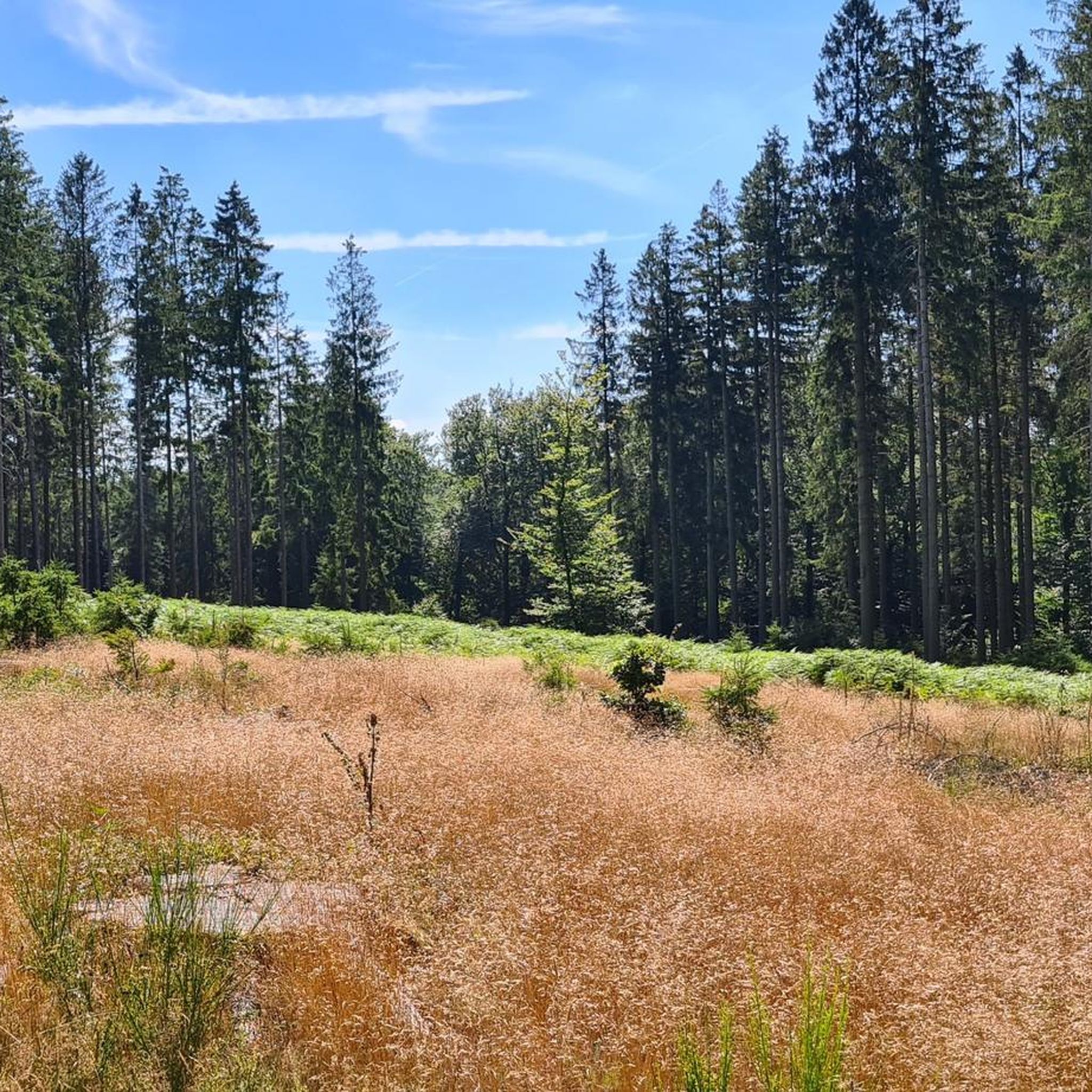
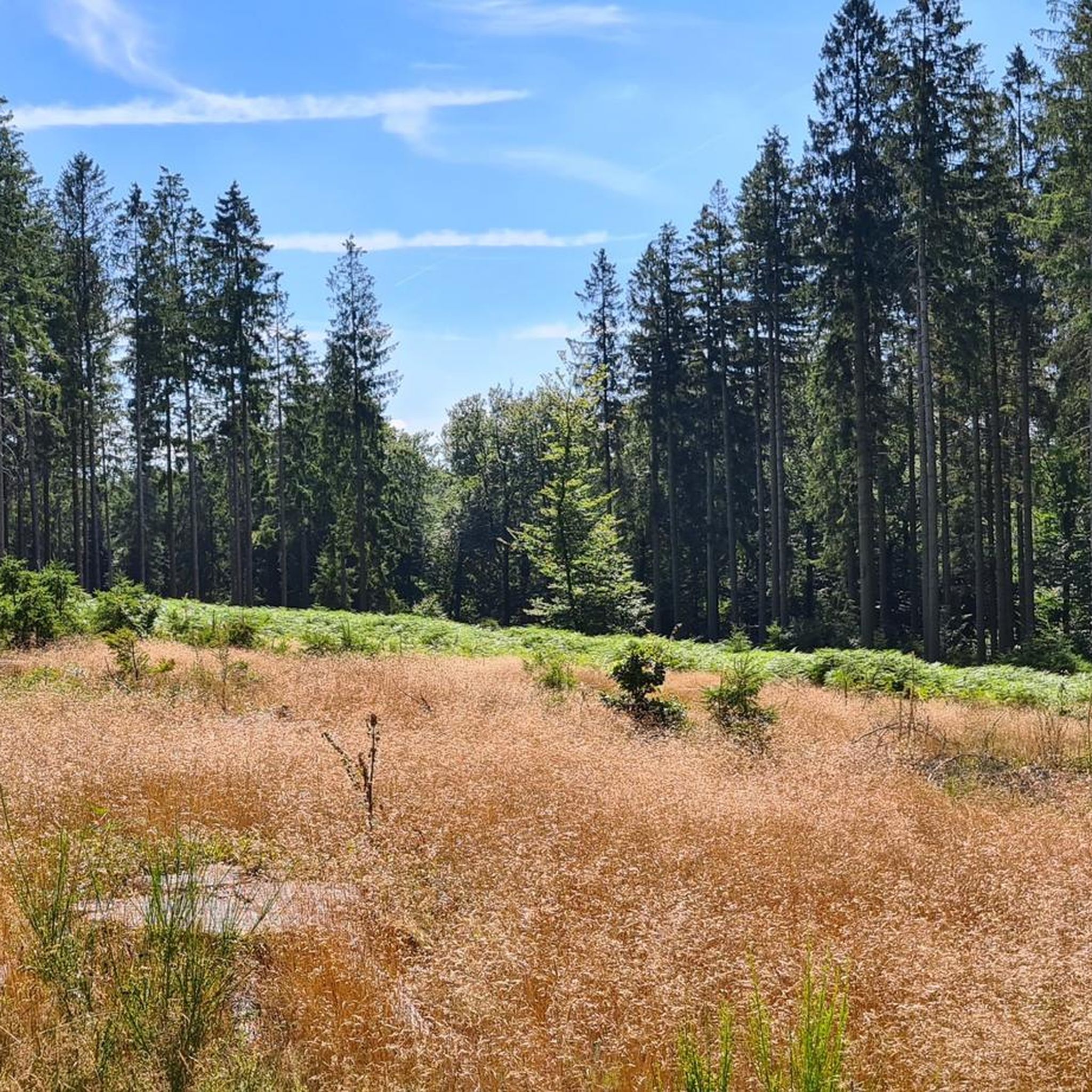
Singletrack through the forest that can be driven up as much as down. Halfway you pass a bridge with a small waterfall.
0
0

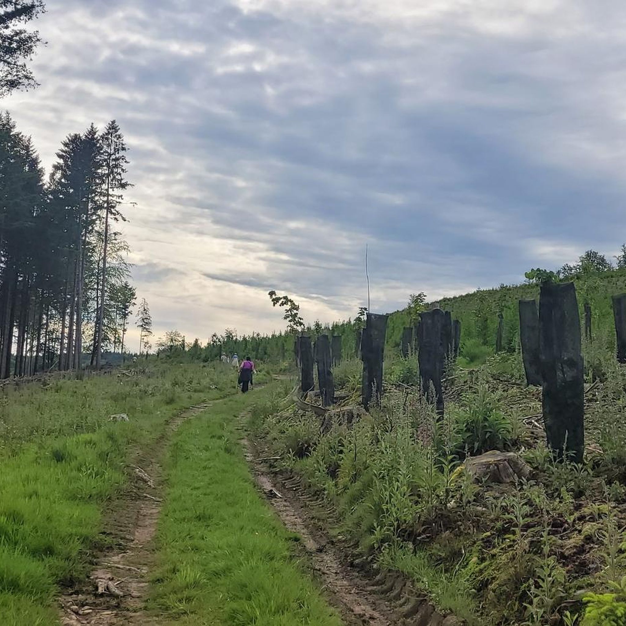
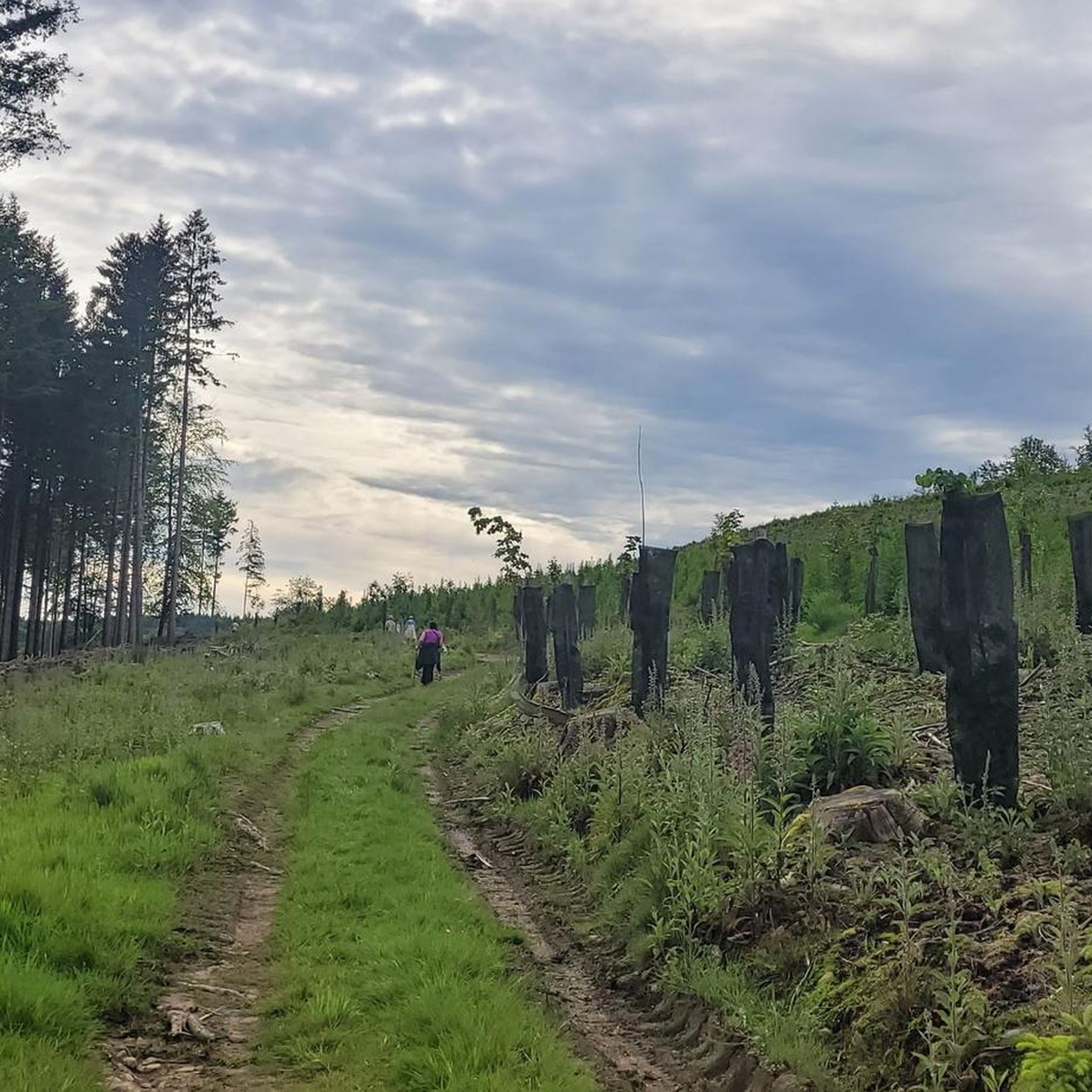
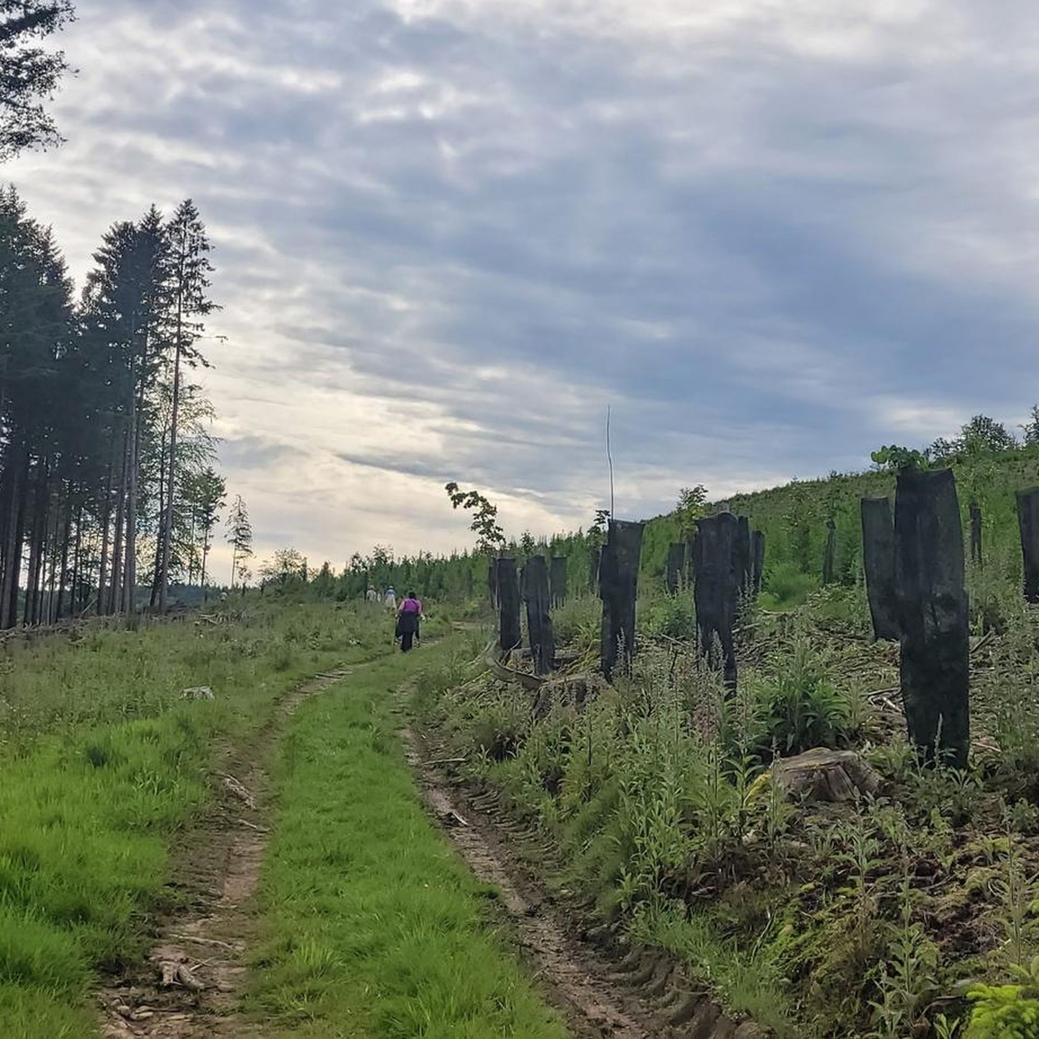
it climbs...
0
0

Nice path through the forest. Not too difficult.
1
0

On this narrow path along the Amblève, an unexpected little waterfall adds to the charm of the place. Please note: this somewhat adventurous trail is not accessible during flooding!
2
0

And if you encounter hikers.. Just smile and say Hi
0
0

komootモバイルアプリでインスピレーションを得よう


