スペッツァーノデッラシラの湖・トップ13
次の冒険でスペッツァーノデッラシラの素晴らしい湖を訪れてみませんか?湖畔の穏やかな雰囲気や、天気が良い日のひと泳ぎは格別です。komootコミュニティがおすすめするスペッツァーノデッラシラの素晴らしい湖の一覧を参考にして、次の冒険では湖をもっと満喫しましょう。
最終更新日: 9月 5, 2026
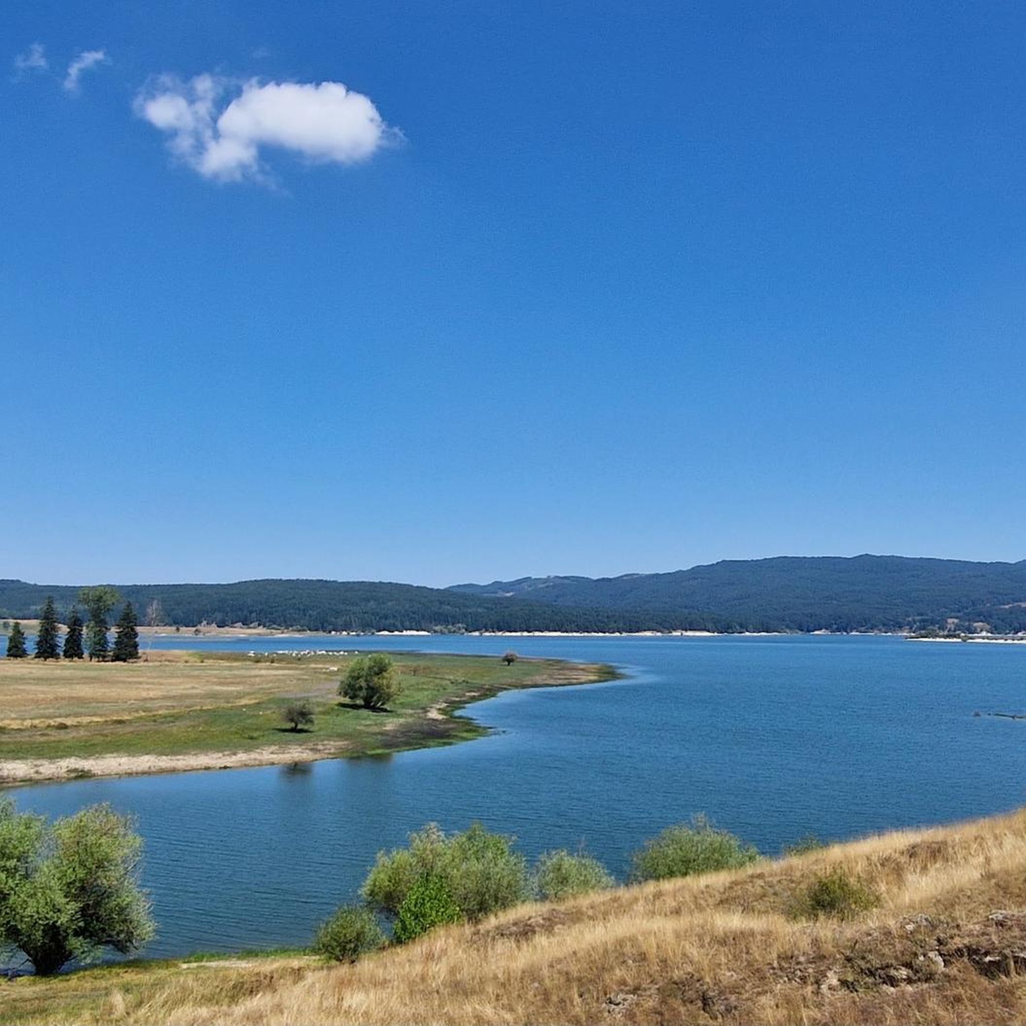
チェチータ湖
ハイライト • 湖
翻訳者 Google •
役立つ情報 は

チェチータ湖
ハイライト • 湖
翻訳者 Google •
役立つ情報 は

今すぐサインアップして、こんな場所を発見しよう
最高のシングルトラック、ピーク、その他のエキサイティングなアウトドアスポットのおすすめを受け取ろう。
ロリカとアルヴォ湖
ハイライト • 湖
翻訳者 Google •
役立つ情報 は

アルヴォ湖のテラス
ハイライト • 湖
翻訳者 Google •
役立つ情報 は

Monte Botte Donato
ハイライト • 山頂
翻訳者 Google •
役立つ情報 は

無料でサインアップして、さらに多くの湖を発見しましょう スペッツァーノデッラシラでの。
すでにアカウントをお持ちですか?
無料アカウントで今日から始めよう
次の冒険が待っています。
スペッツァーノデッラシラ周辺で人気


スペッツァーノデッラシラでのの他の冒険


コミュニティからのヒント

From the summit of Mount Botte Donato
1
0
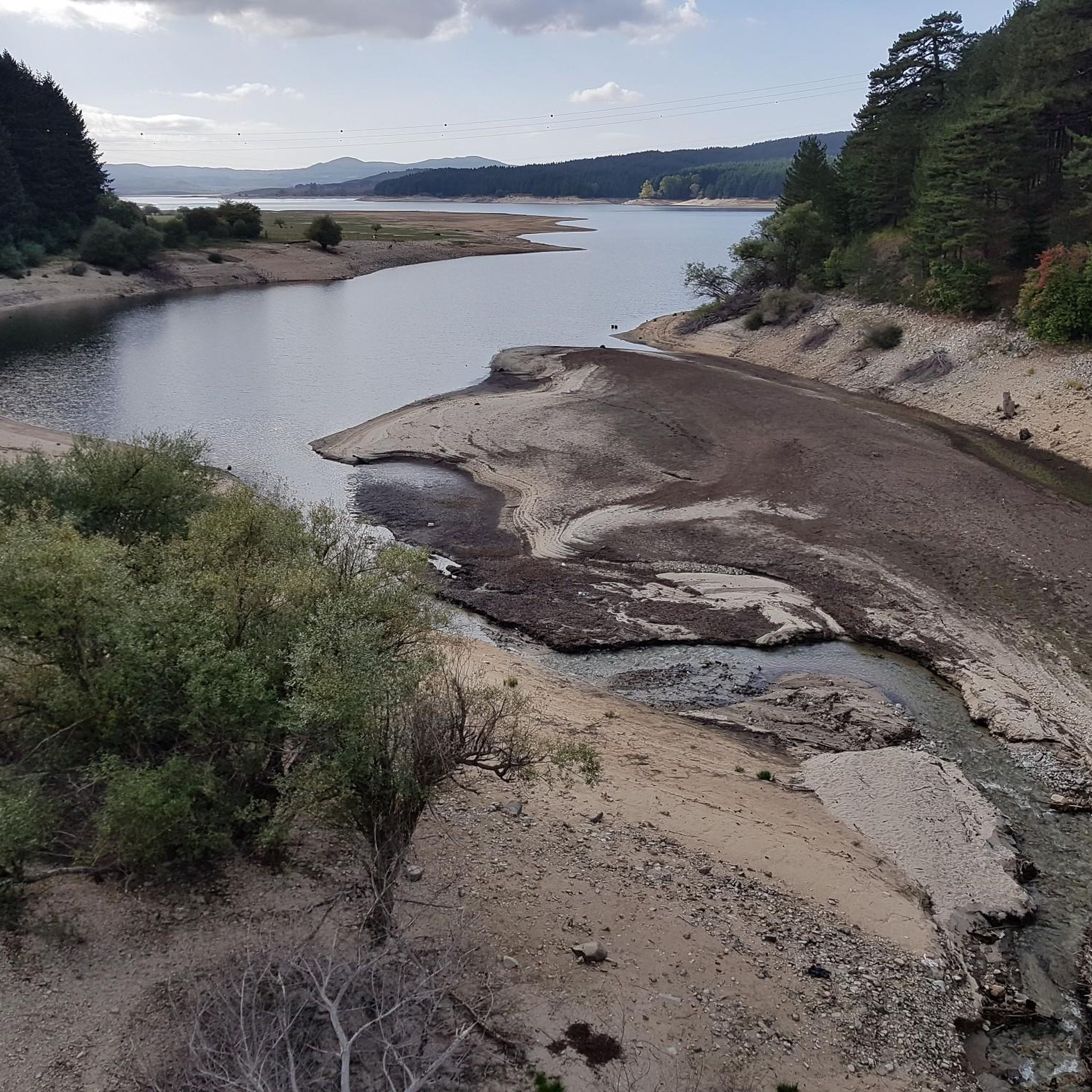
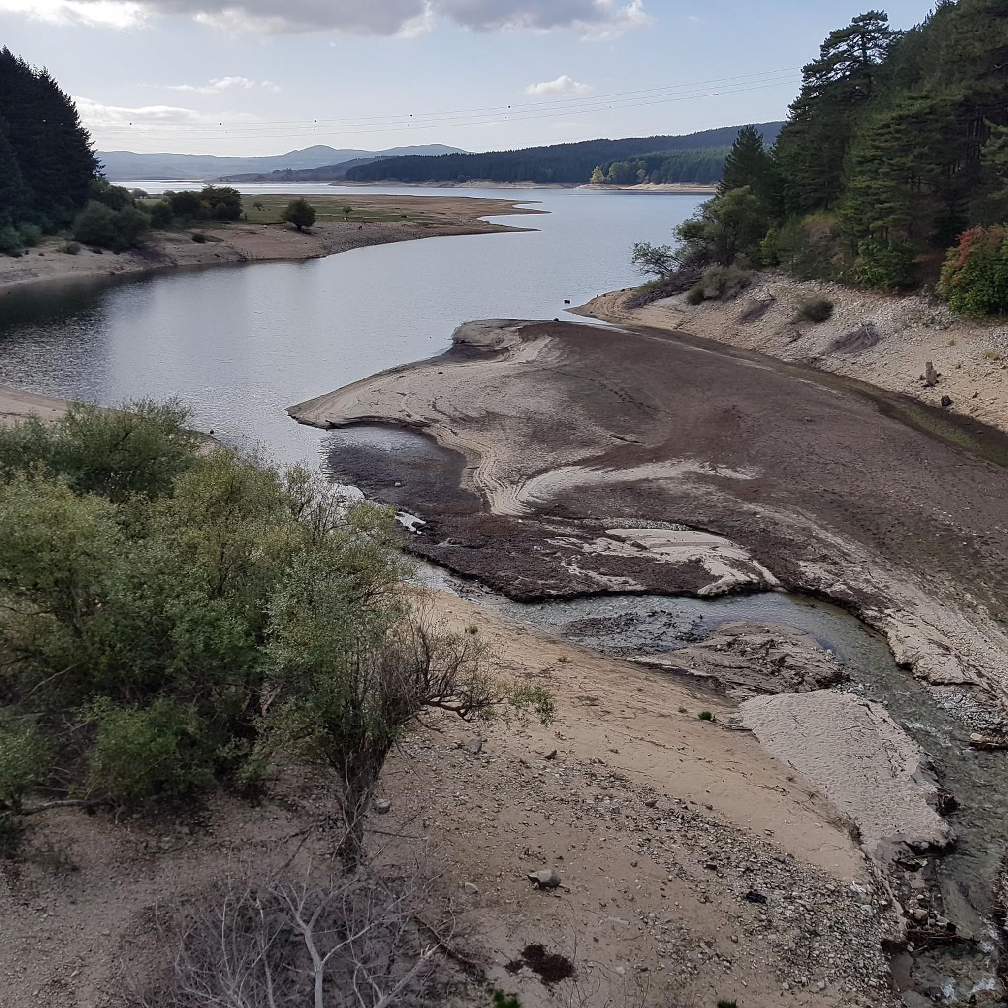
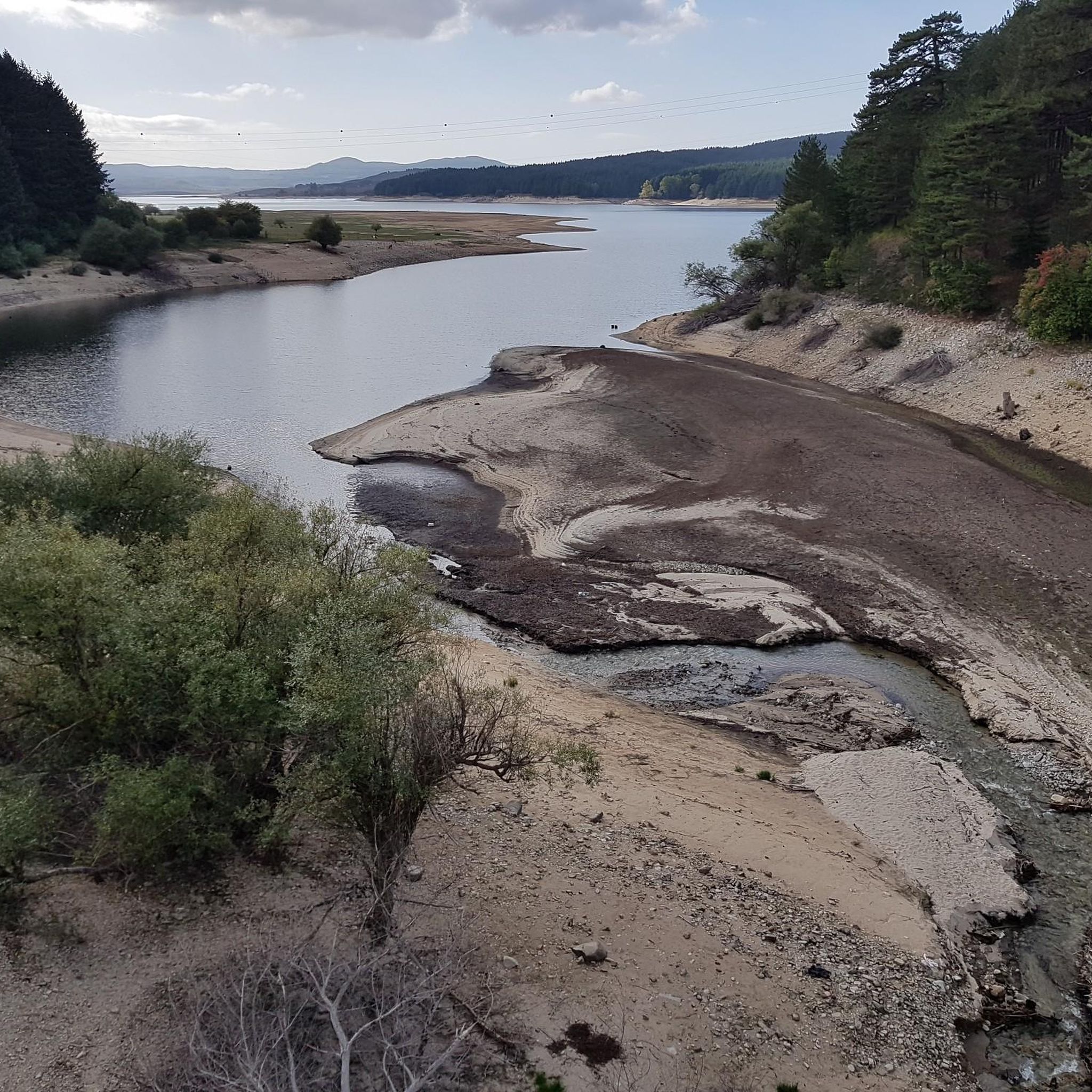
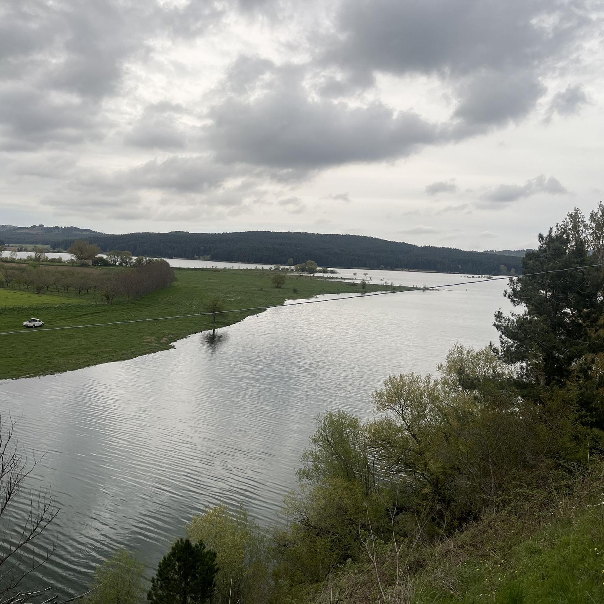
Lake Cecita, in the splendid panorama of the Sila
0
0
Lake Cecita is one of the artificial basins that has adapted best to the Sila landscape
0
0

After a ride around the lake... time for some serious charging. The local Patate della Sila IGP is not only legendary in taste, but also fuel, which grows thanks to the same water you just passed. Grown right next to the trail, it ends up on your plate before you even have time to take off your helmet😅. Perfect after the kilometers you've racked up.
1
0
The Ciclovia dei Parchi della Calabria runs around the lake. Although the entire Ciclovia is considered a route for experienced cyclists due to the significant elevation gain, the lake section is characterized by a more accessible profile. The sections are dominated by flat or gentle climbs, making it suitable for cyclists with average physical fitness. The surface is mixed, alternating between asphalt and gravel sections (natural surfaces and dirt roads), typical of cycle routes immersed in nature. For this reason, a trekking, gravel or mountain bike is most suitable.
1
0
Photos from this place best reflect the natural and wild character of Lago di Cecita, whose surface is located at 1,143 meters above sea level. The forest not only does not end at the water line, but actually penetrates it. Tall conifers and lower shrubs create a dense wall of greenery, the lowest parts of which grow out of the lake's depths. It looks as if nature perfectly incorporated the body of water into the existing forest, creating a harmonious, forest-water scenery.
1
0
The Transumanza has been part of the daily lives of shepherds in Calabria for centuries – now a thing of the past, but one that can still be seen, felt and walked. The old trails that they used to take their sheep from the Ionian plains to the mountain pastures of the Sila have now been transformed into walking and cycling routes. In towns like Longobucco, San Giovanni in Fiore and Camigliatello Silano, annual Transumanza festivals are held: with grazing demonstrations, local food, music and crafts. It’s a chance to see the real Calabria – unfiltered and unhurried.
0
0
The Mucone Valley, surrounded by the forests of the Sila Grande, was for centuries a key part of the so-called transumanza, the seasonal migration of shepherds and their flocks between the warm valleys of Calabria and the cool mountain pastures. In summer, shepherds would travel to the mountains, where the Sila plateau had lower temperatures and higher humidity, providing fresh, lush grass, ideal for grazing. In winter, they would descend to the lower areas by the Ionian Sea, where the milder climate and warmer conditions allowed them to survive the cold winter months.
0
0
スペッツァーノデッラシラでのの人気観光スポット

komootモバイルアプリでインスピレーションを得よう


さらに探索
まだ完璧な湖が見つかりませんかスペッツァーノデッラシラでの?これらの地域のガイドをチェックして、さらに美しい場所を見てみましょう。
