ドゥエロの峡谷・トップ12
ドゥエロには 12
の息を呑むほど美しい峡谷があります。以下に紹介する必見の峡谷一覧に掲載されている写真、おすすめ情報、その他のデータを参考にして、次の冒険でドゥエロの美しい峡谷を訪れる際に役立てましょう。
最終更新日: 9月 4, 2026
ミラドール・デ・ラス・バランカス
ハイライト • 展望台
翻訳者 Google •
役立つ情報 は

ピコン・デ・フェリペ展望台
ハイライト • 展望台
翻訳者 Google •
役立つ情報 は

今すぐサインアップして、こんな場所を発見しよう
最高のシングルトラック、ピーク、その他のエキサイティングなアウトドアスポットのおすすめを受け取ろう。
無料新規登録
サン・ジョアン・ダス・アリバス展望台
ハイライト • 展望台
翻訳者 Google •
役立つ情報 は

ドウロ渓谷の眺め
ハイライト • 展望台
翻訳者 Google •
役立つ情報 は
ミラドウロ・デ・カストリリョウソ
ハイライト • 展望台
翻訳者 Google •
役立つ情報 は

ミラドール・デル・フライレ展望台
ハイライト • 展望台
翻訳者 Google •
役立つ情報 は
レケホ橋
ハイライト • 橋
翻訳者 Google •
役立つ情報 は
センダ・デル・ドゥエロ(GR-14)– カミーノ・デ・ピニーリャ
ハイライト (セグメント) • トレイル
翻訳者 Google •
役立つ情報 は
ミラドウロ・ダ・セルカ
ハイライト • 展望台
翻訳者 Google •
役立つ情報 は
Miradouro do Carrascalinho
ハイライト • 展望台
翻訳者 Google •
役立つ情報 は

無料でサインアップして、さらに多くの峡谷を発見しましょう ドゥエロでの。
無料新規登録
すでにアカウントをお持ちですか?
無料アカウントで今日から始めよう
次の冒険が待っています。
ログインまたは登録
ドゥエロ周辺で人気
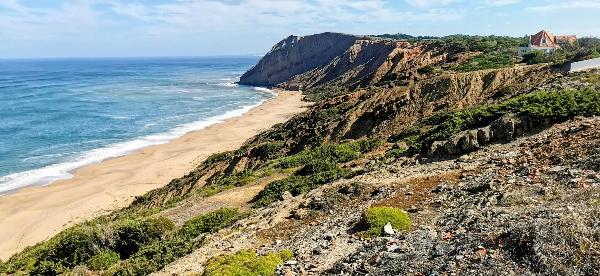
大西洋沿岸サイクリング - EuroVelo 1 ポルトガル
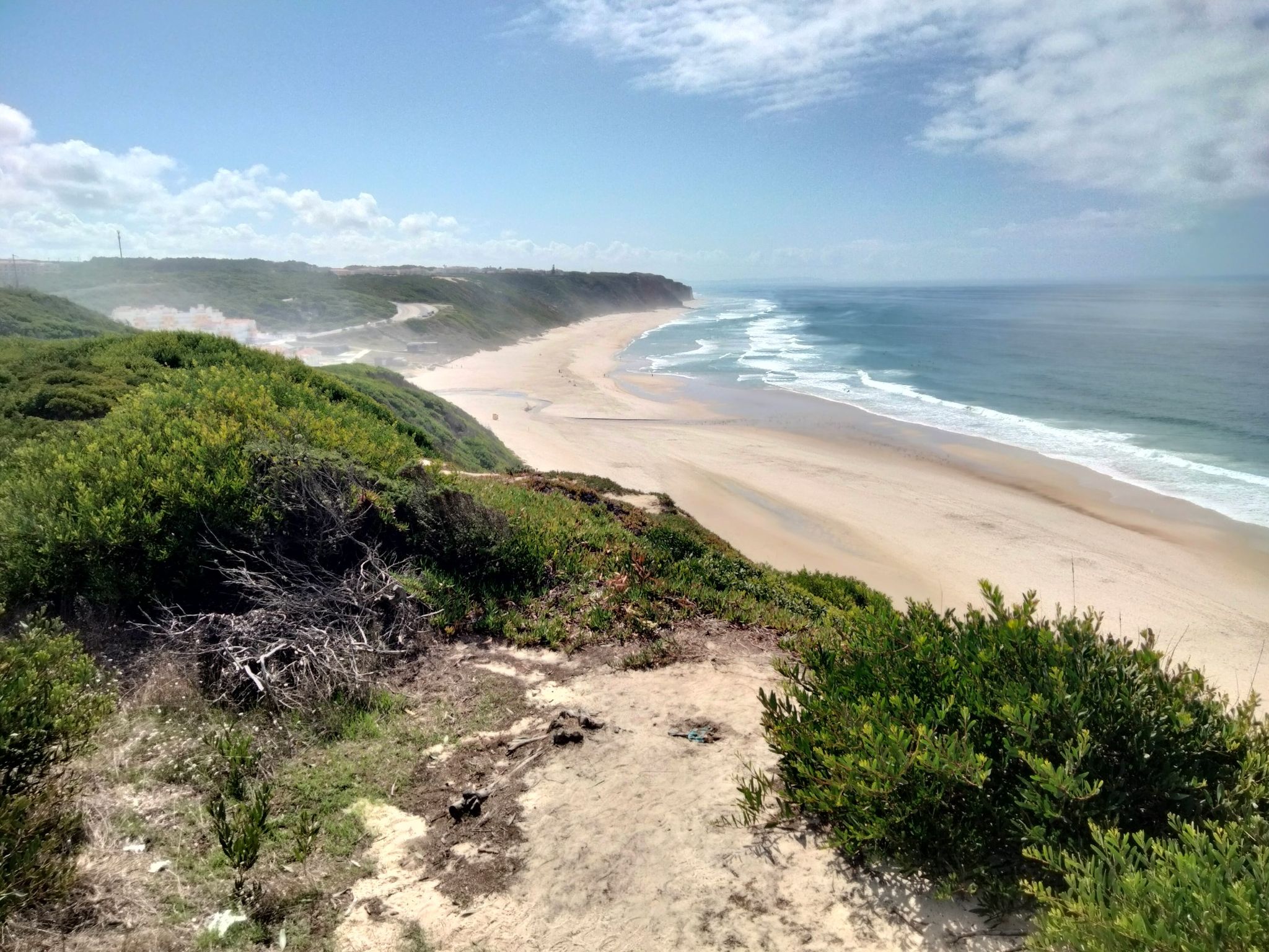
ポルトガルの大西洋沿岸(北部)– カミーニャからリスボンまで
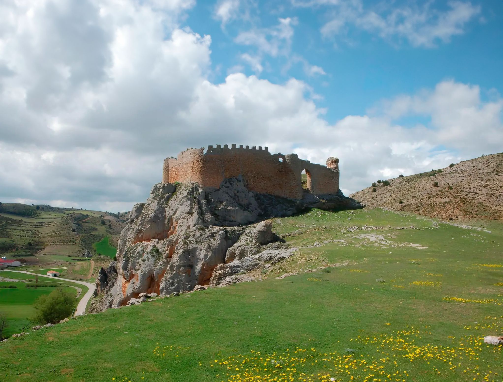
スペインのソリア州を中心に - Sendero Ibérico Soriano (GR 86)
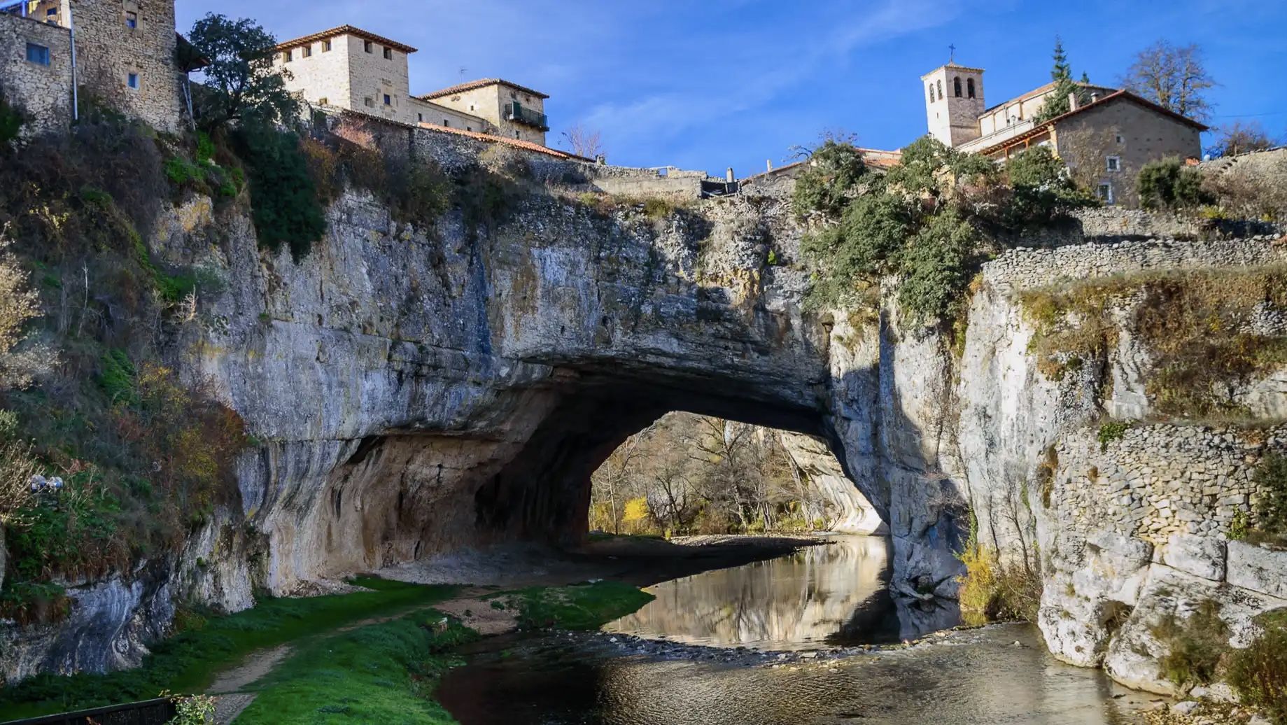
エブィージラ ジンダールアネルドルットリウン - Santander-Mediterráneo ニュールトリウン
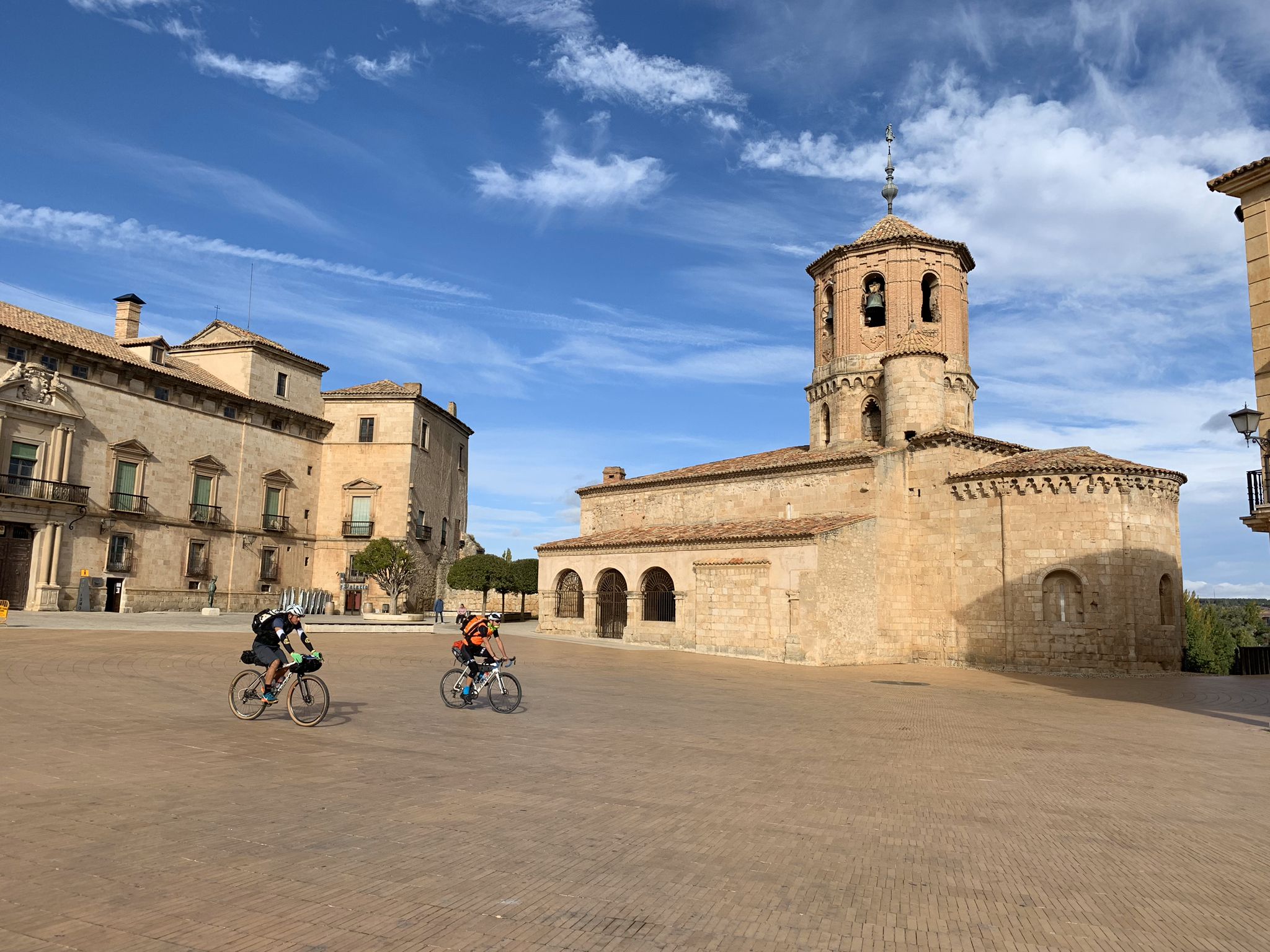
カウントリサイドと砦-アッパー・デュエロの壁を自転車で
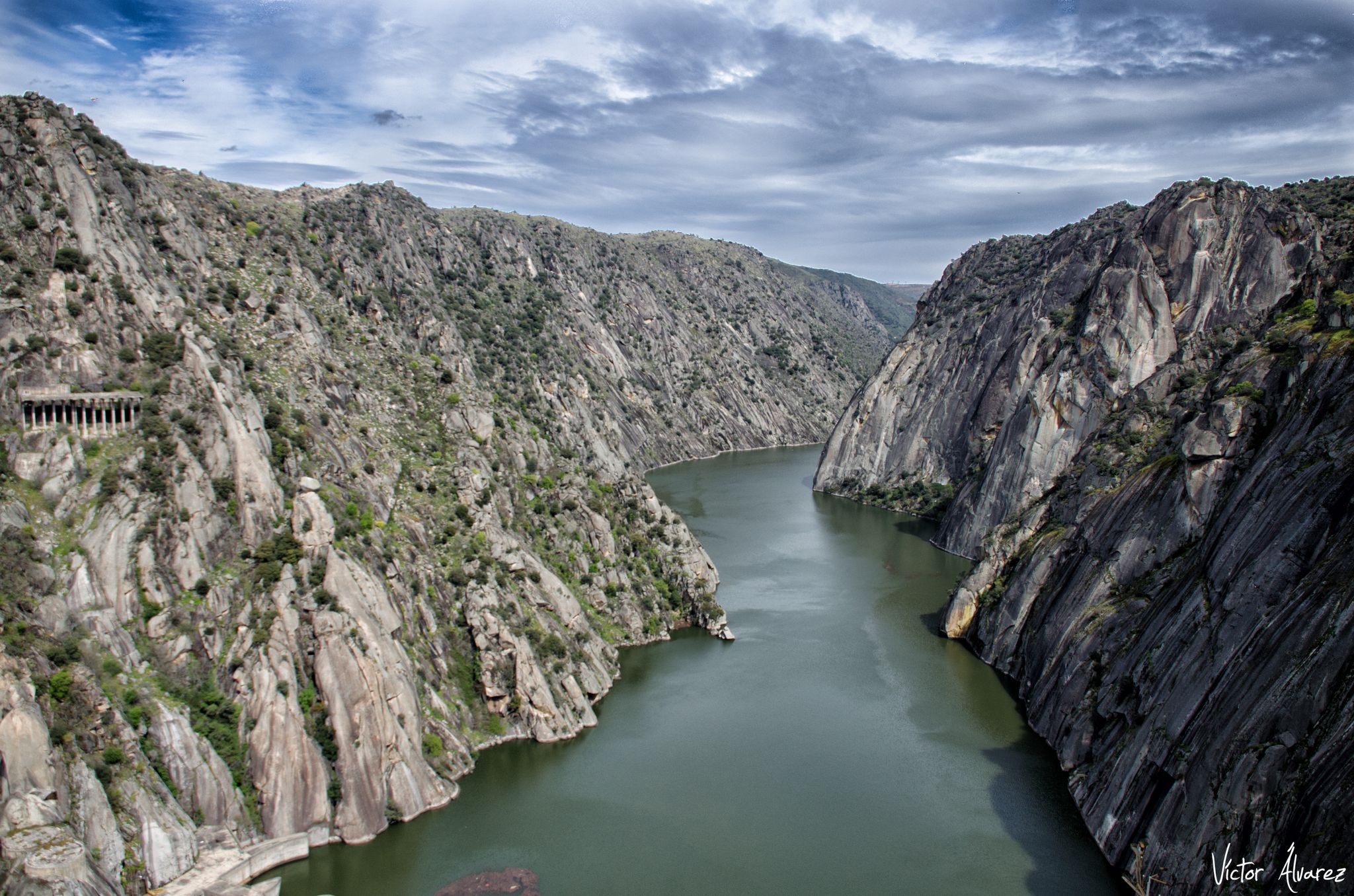
サモラとサラマンカの下流 - ウエスタン・デュエロ・トレイル (GR 14)
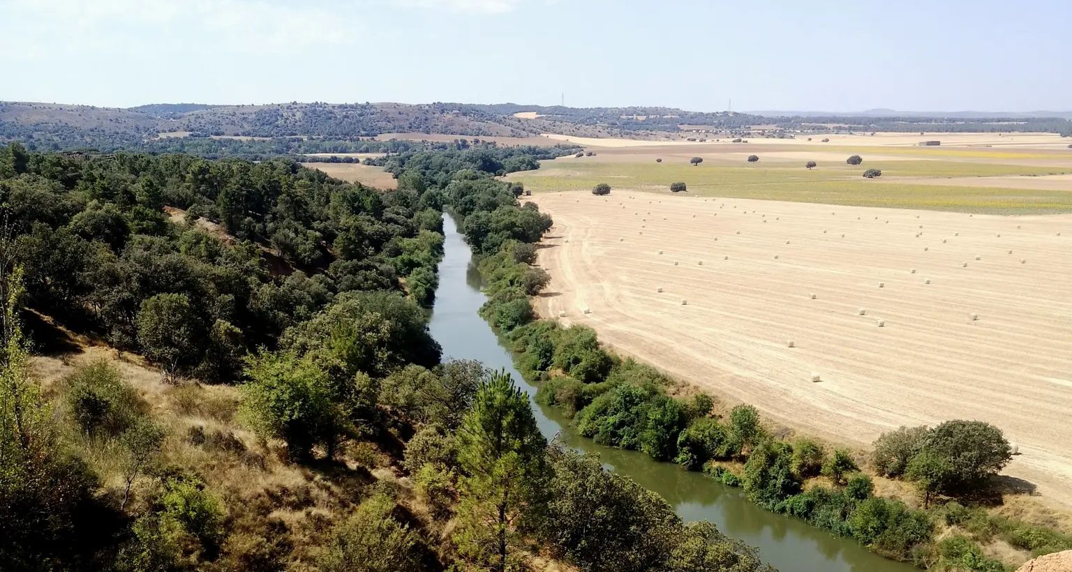
スペインのソリア、ブルゴス、バリャドリードを下流に通る-イースタン・ドゥーロ・トレイル
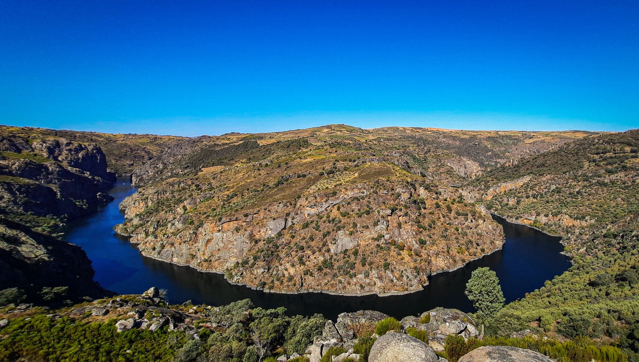
グレート・カスティリアン・リバー–デュエロ MTB トレイル
Soria ブルパェードの私ないません - ビスブルドング
エル・カミノ・デル・シド – エル・デスティエルロ(グラベルバイクで)
ドゥエロでのの他の冒険


コミュニティからのヒント

It's located in the heart of the Arribes del Duero Natural Park, an area of great scenic beauty and biodiversity. Things to do nearby: Viewpoints: The viewpoint at the bridge itself and others nearby, such as the one in Villadepera. Hiking trails: Paths through the Arribes, ideal for photography and birdwatching. Charming villages: Villadepera, Pino del Oro, and other towns in the area. From the bridge, you can admire the granite cliffs of the Duero River and the deep riverbed that marks the natural border with Portugal.
2
0
The Requejo Bridge, also known as the Pino Bridge, is a jewel of historical engineering located in Villadepera (Zamora) over the Duero River, within the Arribes del Duero Natural Park. Year of inauguration: 1914. Designed by the engineer José Eugenio Ribera, a pioneer in the use of reinforced concrete in Spain. It was built to connect the Aliste and Sayago regions, facilitating communication between Zamora and Portugal.
2
0
From the Vale de Águia hill fort, there is a natural viewpoint with spectacular views of one of the meanders of the Douro. At the São João das Arribas hermitage, you can also enjoy stunning panoramic views of the canyon and waterfalls on the Spanish slope. The landscape includes cliffs, meadows, oak groves, and pastures, with abundant flora and fauna.
5
0
The GR-36 trail in the Miranda do Douro area is one of the most spectacular routes in northern Portugal, especially for its views of the Douro Canyon, which forms the natural border with Spain.
6
0
The Miradouro da Cerca, located in the village of Urrós (municipality of Mogadouro, near Miranda do Douro), is one of the most spectacular viewpoints in the Douro International Natural Park and is part of a route that many consider worthy of the title of “Europe’s Grand Canyon.” It offers stunning views of the deep and rugged valley of the Douro River, which marks the natural border between Portugal and Spain.
4
0
The Mirador de las Barrancas, located in Fariza, in the province of Zamora, is one of the most spectacular spots in the Arribes del Duero Natural Park. It offers stunning views of the Duero River canyon, which marks the natural border between Spain and Portugal. A granite landscape with unique rock formations and a microclimate that favors Mediterranean crops such as olive trees, vineyards, and almond trees. Spot birds of prey, such as the griffon vulture and the golden eagle, which are very common in the area.
1
0

Near the village of Urrós, the Cerca Viewpoint awaits you with a breathtaking view. From the top of an imposing rock, you are treated to a dramatic view of the Douro River Gorge, where the steep cliffs form the natural border between the Mirandese Plateau and the Spanish mainland. A magnificent view, impossible to forget!
2
0

This viewpoint over the Duero and its cliffs is very close to the town of Aldeia Nova. From the centre of the town you have to descend about 2 km until you reach the hermitage and the viewpoint. If you arrive by car, you can leave it at the exit of the town and you will only have to walk 1 km to reach the viewpoint.
0
0

komootモバイルアプリでインスピレーションを得よう


