タスマニアの絶景の山頂・トップ5
絶景を目指して登るのであれ、達成感のために登るのであれ、山頂を訪れることで、タスマニアの美しい自然をもっと満喫することができます。5
もの選択肢の中から、制覇する山頂を決めるのは簡単ではありません。スムーズに次の冒険で目指す山頂を選べるように、タスマニアの素晴らしい山頂をこのガイドにまとめました。
最終更新日: 10月 14, 2026
マリオンの展望台
ハイライト • 展望台
翻訳を表示中
役立つ情報 は

クレイドル・マウンテン
ハイライト • 山頂
翻訳を表示中
役立つ情報 は
今すぐサインアップして、こんな場所を発見しよう
最高のシングルトラック、ピーク、その他のエキサイティングなアウトドアスポットのおすすめを受け取ろう。
ハーツ・ピーク
ハイライト • 山頂
And: Always check the weather forecast.
翻訳者 Google •
役立つ情報 は

アーチャーズノブ頂上からの眺め
ハイライト • 山頂
翻訳を表示中
役立つ情報 は

ワイングラス湾の眺め
ハイライト • 展望台
役立つ情報 は
スタンリートライアングルポイント
ハイライト • 山頂
翻訳を表示中
役立つ情報 は

カセドラル・ロック
ハイライト • 展望台
役立つ情報 は
エイモス山登山道
ハイライト (セグメント) • トレイル
役立つ情報 は
Organ Pipes Track
ハイライト (セグメント) • 展望台
翻訳を表示中
役立つ情報 は
ノックロフティ・サミット
ハイライト • 山頂
翻訳を表示中
役立つ情報 は
無料でサインアップして、さらに多くの山を発見しましょう タスマニアでの。
すでにアカウントをお持ちですか?
無料アカウントで今日から始めよう
次の冒険が待っています。


コミュニティからのヒント

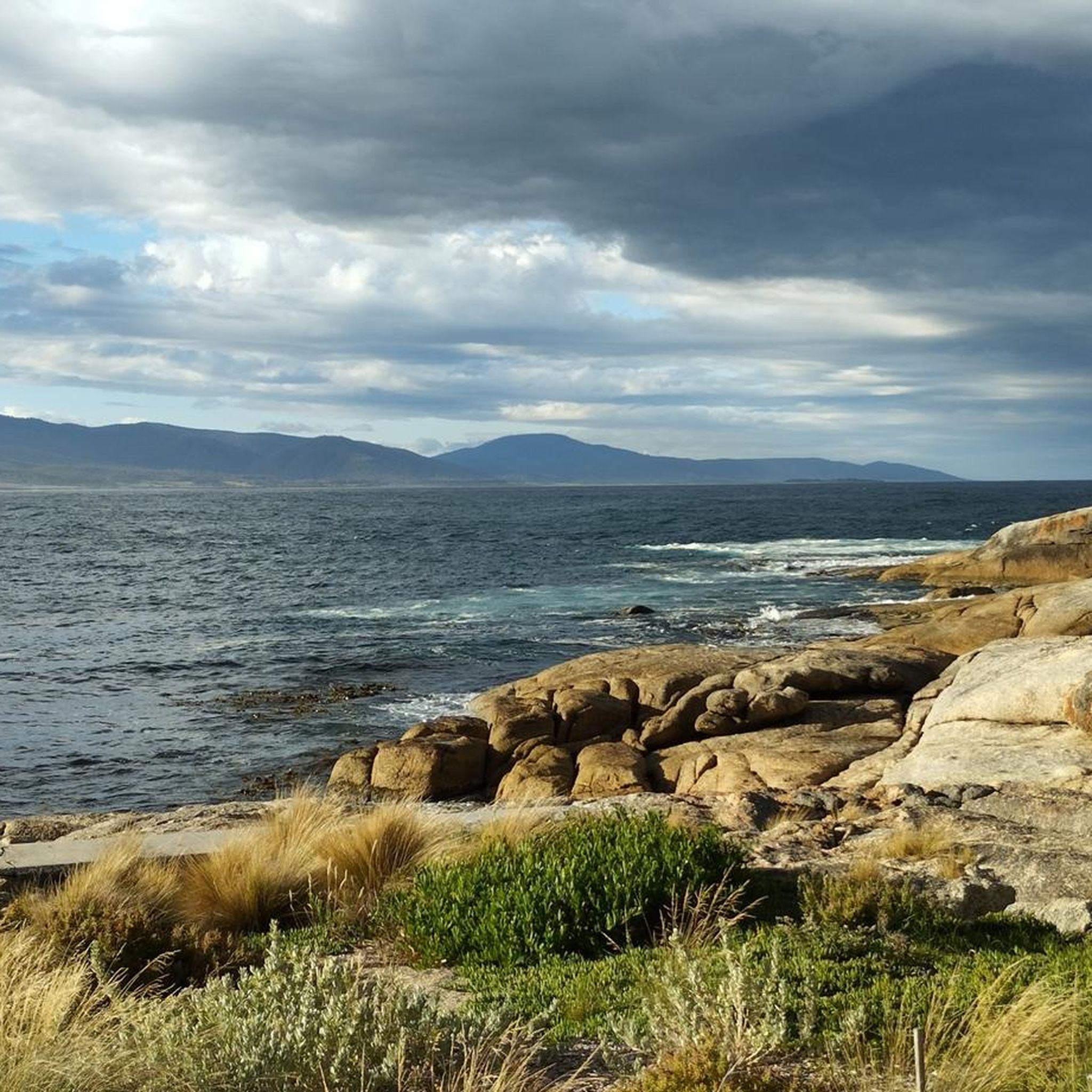
Archers Knobの頂上からは、Bakers Beach、Springlawn、そして周囲の海岸線を見渡すことができ、眼下には湿地帯、草原、海が広がっています。標高114メートルと、それほど高い山ではありませんが、開けた眺めのおかげで、それよりもずっと高く感じられます。下山する前に、頂上で数分間かけて様々な風景を堪能してください。
0
0

スタンリートゥリグポイントは、見逃せない目印で、大きな金属製の三脚で、ザ・ナット・サミット・サーキット沿いの高台にあります。標高145メートルを示す標識もあります。
1
0

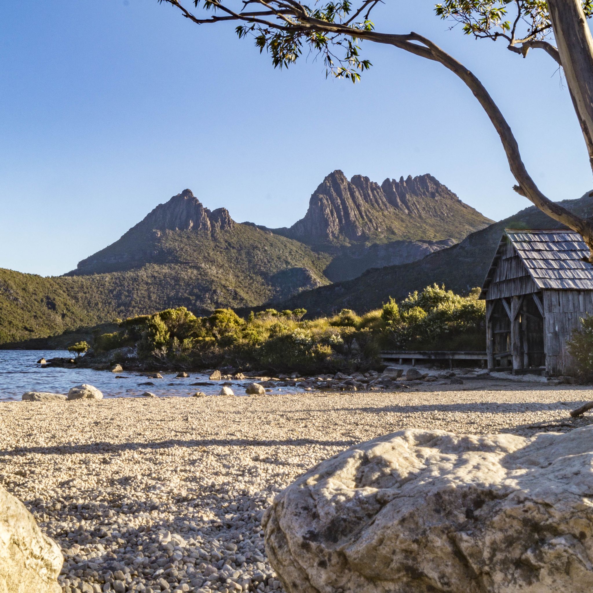
クレードル・マウンテンは、タスマニアの高山地帯北部に位置する、険しくギザギザしたドレライトの峰です。ここでは、岩の多い地形、亜高山帯の森林、そしてドーブ湖と周囲の峰々の息をのむような景色を望む露出した尾根を登ります。山頂へのルートは、技術的なクライミングギアではなく、十分な体力と慎重な足運びを必要とする、持続的な上り坂と大きな岩を越えての岩場歩きを含む、厳しい一日がかりのハイキングです。山頂に到達できるのは非常に経験豊富なブッシュウォーカーのみであり、この地域の天候は晴れから寒く、濡れた、あるいは雪の状態に急速に変化する可能性があるため、短時間で完全な高山状態に対応できるよう準備する必要があります。
0
0
ノックロフティ・サミットは、この保護区で最も高い地点で標高375メートルです。広々としたユーカリの森を抜ける心地よい散策の後に、静かに休憩できる場所です。山頂は自生の低木地帯の中にあり、ここからの眺めは限られていますが、木々の間からクナニー/マウント・ウェリントンを垣間見ることができます。ここではワラビーやその他の野生生物に出会える可能性が高く、静かな景色を楽しむのに最適な場所です。その後、小道を通って戻りましょう。
0
0
ウェリントン公園のオルガンパイプト ラックは、kunanyi / マウントウェリントンの玄武岩の崖の下を蛇行する、人気のある手入れの行き届いた小道です。路面はほとんどが締まった土ですが、浮石や露出した岩のある区間もあり、場所によっては足元が不安定になる可能性があるため、路面が荒れている可能性のある岩の多いエリアでは足元に注意してください。途中、ホバートとダーウェント川河口の印象的な景色が広がり、そびえ立つ岩の形成が常に背景にあります。
0
0
マリオンズ・ルックアウトはダブ湖を見下ろす高台にあり、クレイドル山、クレーター湖、そして周囲のアルプスの高原を一望できます。岩の露頭に位置し、切り立った山頂や氷河が刻んだ下の景色をドラマチックな視点で見ることができます。晴れた日には、公園内で最も印象的な展望スポットの一つとなり、写真撮影や景色の観賞に最適です。
0
0
Cathedral Rock has a fantastic viewpoint, and the final 400 meters of this hike are steep. From the summit, there are open views of the surrounding mountains and Southern Tasmania. Right before the summit, the track emerges from the forests. The footing is more rocky, so be careful. This sub-alpine summit at 880 meters is exposed, so bring a raincoat and warm clothes.
0
0
From this spot at the summit of Mount Amos, Wineglass Bay stretches below in a perfect crescent of white sand and turquoise water. The pink‑granite Hazards rise around the bay, framing one of Tasmania’s most iconic vistas. On clear days, the view extends across the Freycinet Peninsula and out to the Tasman Sea, making this one of the state’s most celebrated viewpoints.
0
0
タスマニアでのの人気観光スポット

komootモバイルアプリでインスピレーションを得よう


探していたものは見つかりませんでしたか?
タスマニアの最高の山や頂上を地域ごとに発見しましょう:
さらに探索
これらのガイドでさらに素晴らしい頂上を見てみましょうタスマニアでの:
