リンダ・バイ・ヴァイダの峡谷・トップ2
リンダ・バイ・ヴァイダには 2
の息を呑むほど美しい峡谷があります。以下に紹介する必見の峡谷一覧に掲載されている写真、おすすめ情報、その他のデータを参考にして、次の冒険でリンダ・バイ・ヴァイダの美しい峡谷を訪れる際に役立てましょう。
最終更新日: 9月 30, 2026
Zaufensgraben
ハイライト • 峡谷
The stream flows through Gera in a predominantly southwesterly direction. In the middle section it forms a narrow V-shaped …
翻訳者 Google •
役立つ情報 は

グロッテ・イム・ハーデス
ハイライト • 洞窟
翻訳者 Google •
役立つ情報 は
今すぐサインアップして、こんな場所を発見しよう
最高のシングルトラック、ピーク、その他のエキサイティングなアウトドアスポットのおすすめを受け取ろう。
Eulamühle近くの渓谷
ハイライト • 峡谷
A nice place for a break.
翻訳者 Google •
役立つ情報 は
Zaufensgraben(ゲーラ)
ハイライト • 峡谷
翻訳者 Google •
役立つ情報 は

ヴィンシェンドルフ採石場の崖から望むエルスタータールとヴァイセ・エルスターの景色
ハイライト • 展望台
翻訳者 Google •
役立つ情報 は
無料アカウントで今日から始めよう
次の冒険が待っています。

コミュニティからのヒント

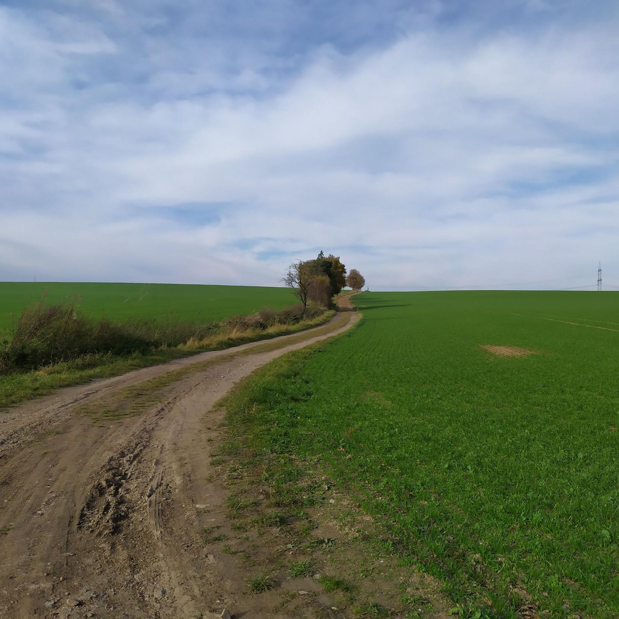
The Zaufensgraben rises about 1,000 m southwest of the Gera-Leumnitz airfield at about 290 m above sea level. The stream flows in a predominantly southwesterly direction...
6
1


A shoe factory stood on this site in the 20th century. It was founded by Adolph Zimmer. In 1923, he expanded the factory grounds with a building along Aumaer Straße. Chemicals were stored in this cellar. After shoe production ceased in 1990, the factory building stood empty. It was demolished in 2009 as part of the city center redevelopment. During the demolition, this grotto was discovered beneath Aumaer Straße.
15
0
The Zaufensgraben rises about 1,000 m southwest of the Gera-Leumnitz airfield. The stream flows through Gera in a predominantly southwesterly direction. In the middle section it forms a narrow V-shaped valley in which the Zaufensgraben nature reserve is located, which is the smallest in Gera with an area of 11 hectares. It passes the Ronneburger Höhe with the Ferberturm observation tower there. In the lower section the ditch is piped under Meuselwitzer Straße. Finally, the stream flows into the Gessenbach at about 195 m above sea level, which flows into the Weiße Elster a little further west.
32
0
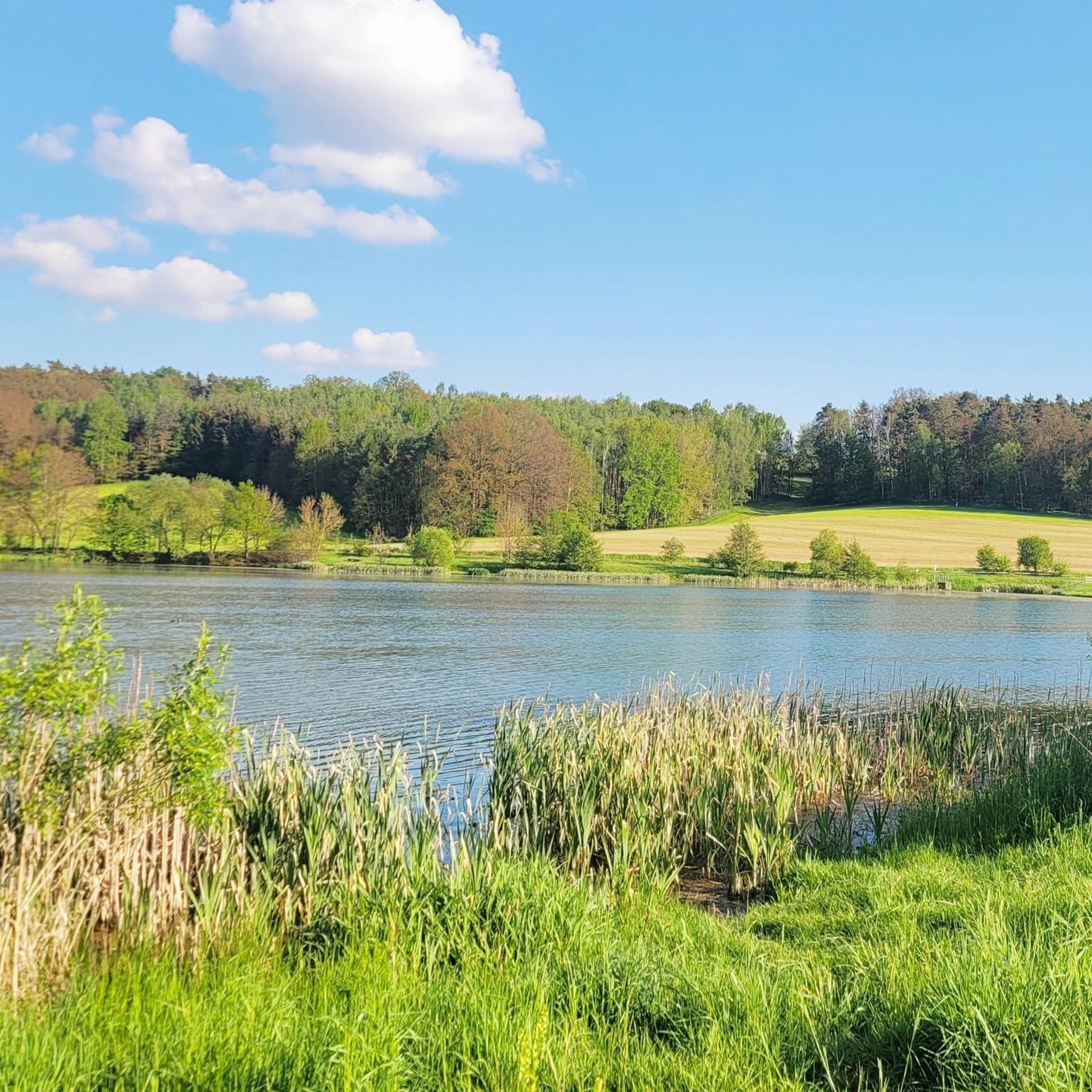
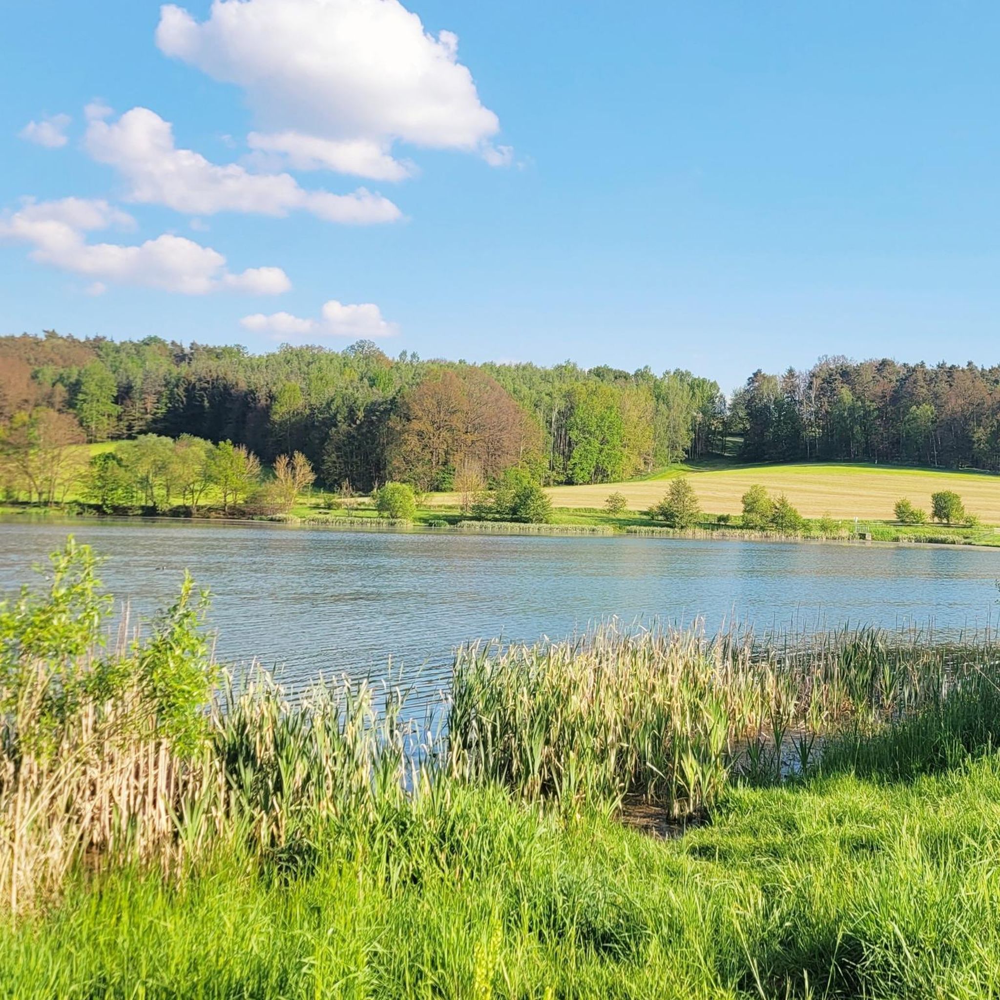
Easy to miss 😁 A nice place for a break.
10
0

A little highlight for every season. Pure nature
1
0
Beautiful view of the Elstertal and the White Elster.
14
1

A railway line used to run along the Zaufensgraben.
4
0
リンダ・バイ・ヴァイダでのの人気観光スポット

komootモバイルアプリでインスピレーションを得よう


さらに探索
この地域で全てを発見しましたか?次の冒険のために追加の渓谷を見てみましょうリンダ・バイ・ヴァイダでの:
