グンパーダの絶景の山頂・トップ6
絶景を目指して登るのであれ、達成感のために登るのであれ、山頂を訪れることで、グンパーダの美しい自然をもっと満喫することができます。6
もの選択肢の中から、制覇する山頂を決めるのは簡単ではありません。スムーズに次の冒険で目指す山頂を選べるように、グンパーダの素晴らしい山頂をこのガイドにまとめました。
最終更新日: 8月 21, 2026
Dohlenstein
ハイライト • 自然記念物
翻訳を表示中
役立つ情報 は

イェーナ=ゲーシュヴィッツ駅
ハイライト • 休憩所
Take-away lunch is available on platform 3/4 from Monday to Friday. All dishes cost € 5.
Bockwurst sausages, Viennese, …
翻訳者 Google •
役立つ情報 は

今すぐサインアップして、こんな場所を発見しよう
最高のシングルトラック、ピーク、その他のエキサイティングなアウトドアスポットのおすすめを受け取ろう。
無料新規登録
ドーレンシュタインへのアルパインアセントとロイヒテンブルクへのトレイル
ハイライト • トレイル
翻訳者 Google •
役立つ情報 は

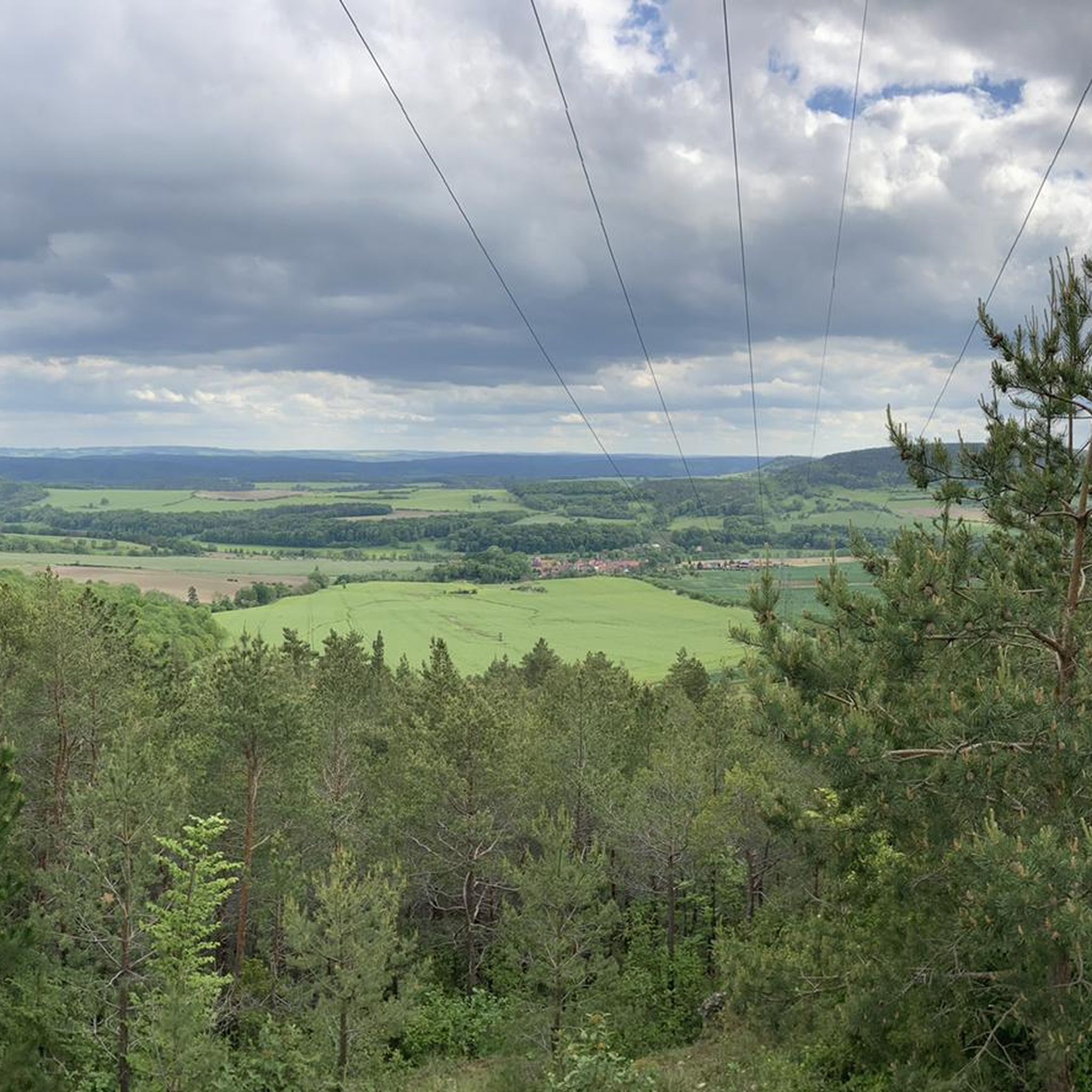
Dürrengleina近くの小高い丘
ハイライト • 展望台
翻訳者 Google •
役立つ情報 は

イン・デン・ランゲン・キーフェルンの山頂十字架
ハイライト • 山頂
翻訳者 Google •
役立つ情報 は

無料でサインアップして、さらに多くの山を発見しましょう グンパーダでの。
無料新規登録
すでにアカウントをお持ちですか?
無料アカウントで今日から始めよう
次の冒険が待っています。
ログインまたは登録
コミュニティからのヒント


There are two clearly defined alpine ascents that are easily manageable with trekking poles. Beyond these, there are other routes, but these carry a slightly higher risk of slipping. This risk can be reduced by wearing very good hiking boots, using trekking poles effectively, and having absolute sure footing. Any injuries can be mitigated by reacting quickly and correctly if you do slip. A free fall is out of the question as long as you're not climbing. Given the loose rock, climbing is not advisable anyway.
0
0

You can do the trail without climbing equipment. However, it's very steep, sometimes slippery, and unsecured. In my opinion, it's very dangerous when wet. Fantastic views!
0
0
Yes, you could say that: you don't need climbing equipment. But it's steep, sometimes slippery, and not doable when wet. Fantastic view from the top!
0
0

Not far from the train station, two beautiful historic steel truss bridges lead over the Saale to the hiking trails to Leuchtenburg. It's worth looking at the river and the beavers' tracks from here!
2
0


I liked it. At least 6 platforms. With shelters. Ideal for starting and ending hikes.
1
0

The view of the rock from the bike path. A few daring people try to climb up here again and again. A little hint; let it go. The rock is brittle and very loose. The rescue from the wall is only possible with great effort. So just look up in awe and hope that the Leuchtenburg doesn't accidentally come your way.
1
0
グンパーダでのの人気観光スポット

komootモバイルアプリでインスピレーションを得よう


さらに探索
これらのガイドでさらに素晴らしい頂上を見てみましょうグンパーダでの:
