Top 5 Caves シュミットハッヘンバッハでの
次の冒険でシュミットハッヘンバッハの洞窟を訪れてみませんか?素敵なアウトドア体験の計画をお手伝いできるよう、シュミットハッヘンバッハにある 5
の素晴らしい洞窟をまとめました。他のユーザーの体験に基づいた情報なので、どれも信頼できるおすすめのガイドです。次の冒険を計画する際の参考にしましょう。
最終更新日: 8月 20, 2026
シュロスベルククヴェレ
ハイライト • 自然記念物
It took 20 years to work on the search tunnel. After about 28 meters the …
翻訳者 Google •
役立つ情報 は

ビールフィンクスグラーベン鉱山
ハイライト • 歴史的な場所
翻訳者 Google •
役立つ情報 は

今すぐサインアップして、こんな場所を発見しよう
最高のシングルトラック、ピーク、その他のエキサイティングなアウトドアスポットのおすすめを受け取ろう。
無料新規登録
フィッシュバッハ洞窟への下り坂
ハイライト (セグメント) • 洞窟
翻訳者 Google •
役立つ情報 は

モンツィンゲンの隠れた洞窟
ハイライト • 洞窟
翻訳者 Google •
役立つ情報 は

イエローギャラリー
ハイライト • 洞窟
翻訳者 Google •
役立つ情報 は
無料アカウントで今日から始めよう
次の冒険が待っています。
ログインまたは登録

コミュニティからのヒント


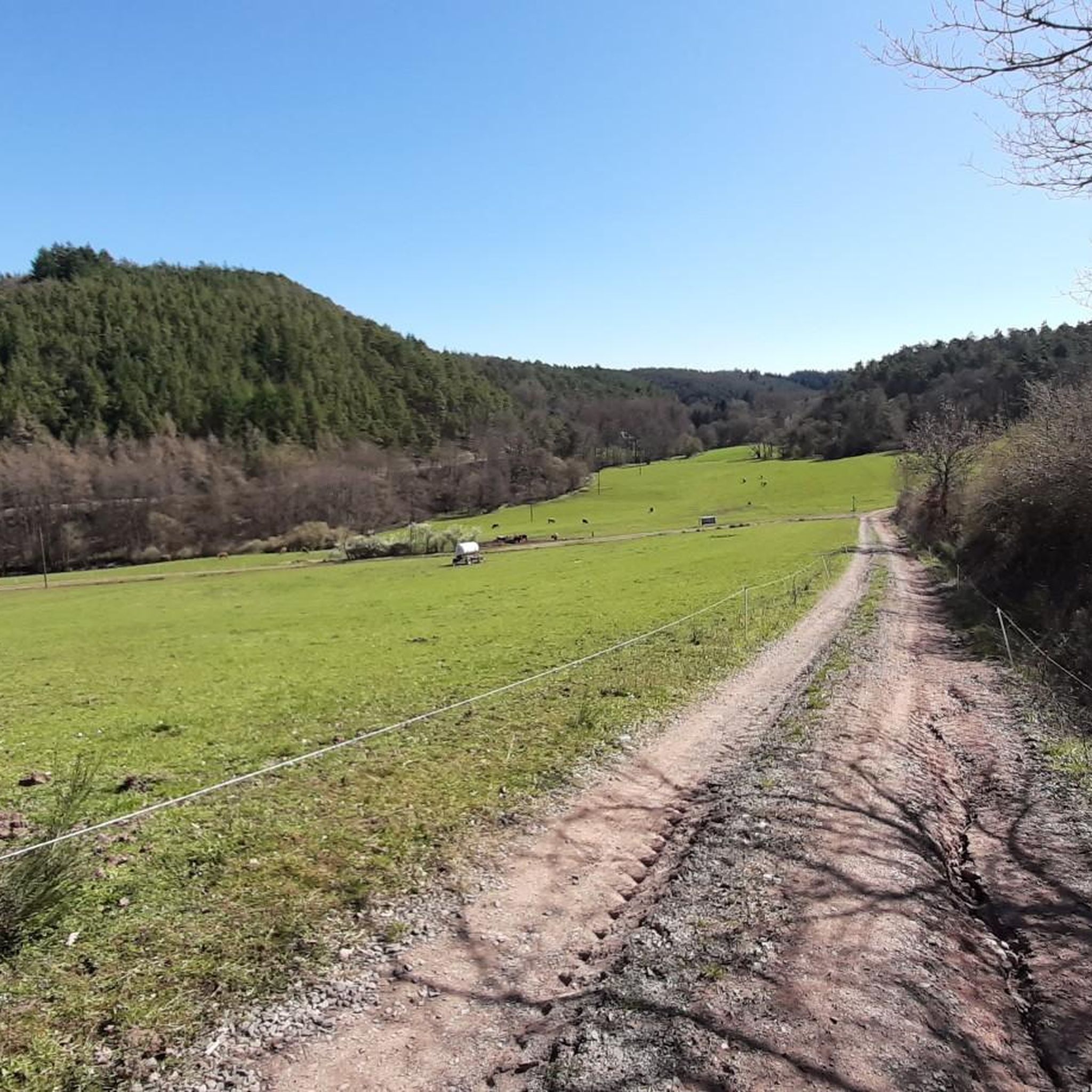
The tunnel is about 100 meters away from the vitality tour, but is signposted
0
0
But there is “No drinking water” coming from the source
0
0

The copper ore mine on Schloßberg dates back to the middle of the 16th century. It took 20 years to work on the search tunnel. After about 28 meters the copper core was exhausted. Behind the gated entrance stands a statue of St. Barbara, the patron saint of miners.
3
0
The Schloßberg spring rises approx. 12 m inside the Schloßberg. It was set in a stone basin and ensured the Naumburg's drinking water supply, including the stately wine house, until the 18th century. From then on, for unknown reasons, the yield of the spring decreased so much that the residents of Naumburg had to rely on the water from the Bärenbach flowing in the valley. The spring still runs as a constant trickle all year round. Source: http://www.baerenbach.de/Freizeit/Baerenroute/Schlossbergquelle/
2
0

I could have explored the right aisle with rubber boots 😕
1
0

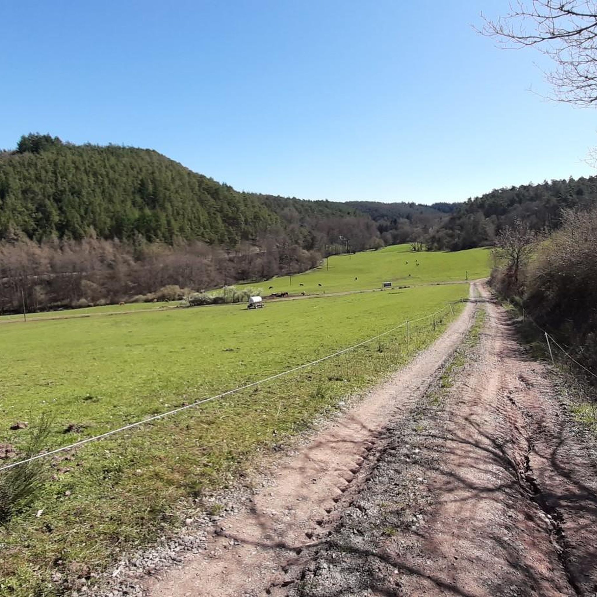
It is actually surprising that the topic of "dry wall" is the subject of an information board, while a little off the hiking trail at the end of a path a tunnel opens up that leads to a widely branched mine. In addition to protecting the bats, this may also be the reason why a grid prevents further access after about 10 meters. From here, however, you can already see numerous tunnels leading downwards, upwards and to the side, which are only poorly secured or not secured at all, so that one can quickly sink into the bottomless holes filled with water. Exploration would be exciting but potentially very dangerous. The wood found in the Bierfinckgraben mine allows the mining activity to be dated to three periods around 1500, around 1700 and 1750. Literature: Tree ring chronological key data on the mining history of the Hunsrück By Mechthild Neyses-Eiden https://journals.ub.uni-heidelberg.de/index.php/fuabt/article/view/54645/55623
1
0
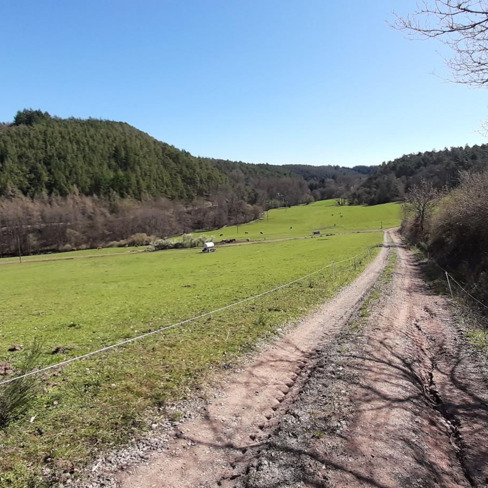
In fact, you have to look for the mouth hole of the studs. The only clue is a gold mine symbol on a single tree. There you have to climb the slope on the right, come to a small level and stand in front of the tunnels that meet in the mouth hole. You can follow the one on the left for a good 30 meters into the mountain, the one on the right is wall-high with water, so that you need rubber boots. In a good 20 meters the water seems to end and the tunnel continues. Incidentally, the tunnel opens up the same copper ore layer "Yellow Gang" as the opposite copper mine "Hosenberg".
1
0
シュミットハッヘンバッハでのの人気観光スポット

komootモバイルアプリでインスピレーションを得よう


さらに探索
最高の洞窟を探す範囲を広げるために、これらのガイドをチェックしましょうシュミットハッヘンバッハでの:
