シュタイナーキルヒェンアンデアトラウンの絶景の山頂・トップ3
シュタイネルキルヒェン・アン・デア・トラウン周辺の最高の山頂は、そびえ立つ山というよりは、なだらかな起伏のある丘と高い地点が特徴です。オーストリア、ウェルス=ラント郡にあるこの地域は、緑豊かな牧草地と風光明媚な川の風景を提供しています。アルプスのような山々ではありませんが、これらの高い地点からはやりがいのある眺めとアウトドアアクティビティの機会が得られます。この地域はアクセスしやすい地形で知られており、さまざまなハイキングレベルに適しています。
シュタイネルキルヒェン・アン・デア・トラウン周辺の最高の山頂
- 最も人気のある山頂はファイクテンベルクで、素晴らしい景色を提供する展望台であり、急な坂を求める人に最適なルートです。リラックスして景色を楽しむためのベンチがあります。
- もう一つの必見スポットは、ウェルス=ラント郡で最も高い山塊の最高地点を示すクライルベルク・サミットクロス(504 m)です。この標高504メートルの地点は、地元の人々や訪問者に人気のハイキング先です。
- 訪問者は、素晴らしい全景を提供する展望台であるファイクテンベルク展望台も気に入っています。ここから、晴れた日には北にアルプスの前山、南にトラウンシュタイン山とデッド山脈を見ることができます。
- シュタイネルキルヒェン・アン・デア・トラウンは、山頂、展望台、中級トレイルで知られています。この地域には、さまざまな高い地点があり、多様なハイキング体験を提供しています。
- シュタイネルキルヒェン・アン・デア・トラウン周辺の山頂は、komootコミュニティに高く評価されており、訪問者から112件の「いいね」と145枚の写真が共有されています。
最終更新日: 8月 5, 2026
クライルベルク山頂の十字架(504m)
ハイライト • 山頂
翻訳者 Google •
役立つ情報 は

Feichtenberg
ハイライト • 展望台
翻訳者 Google •
役立つ情報 は

今すぐサインアップして、こんな場所を発見しよう
最高のシングルトラック、ピーク、その他のエキサイティングなアウトドアスポットのおすすめを受け取ろう。
無料新規登録
Krailberg山頂と測量ポイント
ハイライト • 山頂
翻訳者 Google •
役立つ情報 は

クライルベルク山頂(504m)– ヴェルス=ラント地区の最高地点
ハイライト • 山頂
翻訳者 Google •
役立つ情報 は
ファイヒテンベルク展望台
ハイライト • 展望台
翻訳者 Google •
役立つ情報 は

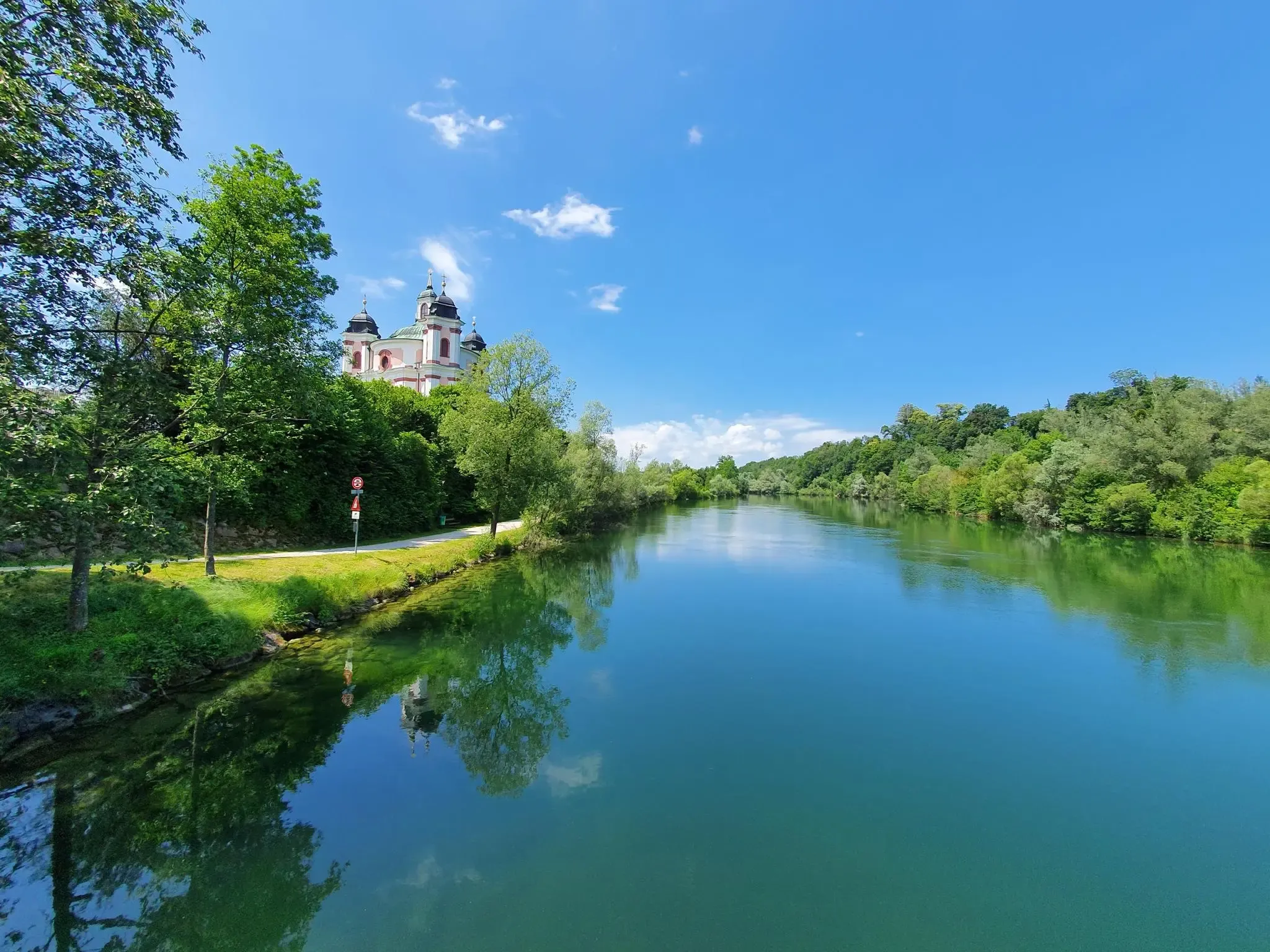
シュタイナーキルヒェンアンデアトラウンでのの他の冒険

コミュニティからのヒント

This beautiful tour can be easily combined with the Bäckerberg, and the Hacklberg can also be included on a mountain bike.
0
0

Halfway point of the Krailbergrunde, good rest stop
1
0

The highest point in the Wels-Land district is on the Steindlberg at 513m. That's 9m higher than the famous Krailberg.
1
0

The actual summit/surveying point is about 100m north of the summit cross and is recognizable by a marker stone
0
0
Coming from the south (vineyard), enter the forest, then turn left (do not go around the forest to the southwest, it will be difficult there), from the north (staffel) there are 2 steeper paths leading up, we used the left one around the outside, at the top it is then comfortably flat in the forest to the summit cross
0
0
Coming from the south (vineyard), enter the forest, then turn left (do not go around the forest to the southwest, it will be difficult there), from the north (staffel) there are 2 steeper paths leading up, we used the left one around the outside, at the top it is then comfortably flat in the forest to the summit cross
1
0

Krailberg is the highest point in the Wels-Land district with a height of 504 meters. It lies on the border of the communities of Bachmanning, Neukirchen and Pennewang. There is a summit cross on the Krailberg that was built in 2011. Krailberg is a popular destination for hikers who can enjoy beautiful hiking trails through picturesque forests. There are several routes to reach the summit, starting from various villages in the area. Some of the most recommended are: Hike from Bachmanning: This is a 9.5 km long hiking trail that starts from the Bachmanning town hall and passes the St. Leonhard Chapel and the Bachmanning Castle before reaching the summit of Krailberg. Hike from Neukirchen: This is a 7.5 km long circular route that starts from the Neukirchen multi-purpose hall and follows a forest road to the summit of the Krailberg. Hike from Pennewang: This is a 6.5 km long circular route that starts from the Pennewang church and crosses the fields and forests to the summit of the Krailberg.
2
3

よくある質問
Steinerkirchen an der Traun周辺で最も注目すべき高台はどこですか?
最も際立った高台は、ウェルス=ラント郡で最も高い地点であるクライルベルク(504 m)です。もう一つの重要な場所は、広大な眺めで知られるファイヒテンベルクです。この地域は一般的に起伏のある丘陵地帯が特徴ですが、これらの地点はやりがいのあるアウトドア体験を提供します。
この地域の山頂からはどのような景色が楽しめますか?
例えばファイヒテンベルク展望台のような高台からは、晴れた日には北はアルプスの丘陵地帯、南はトラウンシュタインや死せる山々(Totes Gebirge)まで見渡せる素晴らしい全景を楽しむことができます。クライルベルクの山頂十字架からも、周囲の景色のパノラマビューが楽しめます。
高台を探索するための家族向けのオプションはありますか?
はい、ファイヒテンベルク展望台は家族向けと考えられており、景色を楽しむためのアクセスしやすい場所です。シュタイネルキルヒェン・アン・デア・トラウン周辺の一般的な地形は、緩やかな丘陵地帯で多様な体力レベルに適しており、多くのルートが家族で楽しめるようになっています。
これらの高台の近くでどのようなアウトドアアクティビティができますか?
山頂へのハイキングのほかにも、この地域では様々なサイクリングの機会があります。ツーリングバイクやグラベルバイク向けのルートが見つかります。例えば、シュタイネルキルヒェン・アン・デア・トラウン周辺の交通量の少ないサイクリングコースや、一般的なサイクリングルートを探索してみてはいかがでしょうか。これらはしばしば、これらの高台の近くの景色の良いエリアを通過します。
ハイキングやアウトドアアクティビティに最適な時期はいつですか?
この地域は一般的に春、夏、秋にアウトドアアクティビティを楽しむのに適しています。これらの季節は、ハイキング、サイクリング、そして高台からのパノラマビューを楽しむのに好都合な気候です。冬も、静かで雪に覆われた風景を求める人にとっては選択肢となり得ますが、一部の道はより困難になる可能性があります。
トレイルには、特に注目すべきランドマークや特徴はありますか?
クライルベルクをハイキングする際は、最高地点を示す山頂の十字架があります。実際の測量点は十字架の約100m北にあり、標石で識別できます。ファイヒテンベルクでは、ベンチを探してリラックスし、広大な景色を楽しんでください。
この地域には、より挑戦的なハイキングのオプションはありますか?
この地域はなだらかな丘で知られていますが、クライルベルクにはハイカーやサイクリスト向けの「挑戦的な登り」と評されるルートがあります。これらのルートを利用すると、地区内のより高い地形や変化に富んだ景観を体験できます。
シュタイネルキルヒェン・アン・デア・トラウン周辺の景勝地について、訪問者が最も楽しんでいることは何ですか?
訪問者は、ファイヒテンベルクやクライルベルクのような場所からの、やりがいのあるパノラマビューを特に高く評価しています。ウェルス=ラント地区の最高地点に登り、ハイキングやサイクリングのための変化に富んだ地形を楽しむ機会も頻繁に強調されています。
これらの景勝地の周りで、周回ルートを見つけることはできますか?
はい、この地域の多くのハイキングやサイクリングコースは周回ルートとして設計されており、同じ地点からスタートして終了することができます。これらはしばしば景勝地を含み、地域の景観の多様な体験を提供します。
ハイキングエリアの近くにカフェや宿泊施設のような施設はありますか?
シュタイネルキルヒェン・アン・デア・トラウンとその周辺の村には、カフェ、パブ、宿泊施設など、さまざまな地元のアメニティがあります。これらはトレイルヘッドから合理的な距離で見つけることができ、アウトドアアドベンチャーの前後に便利な休憩場所を提供します。
シュタイナーキルヒェンアンデアトラウンでのの人気観光スポット

komootモバイルアプリでインスピレーションを得よう


さらに探索
これらのガイドでさらに素晴らしい頂上を見てみましょうシュタイナーキルヒェンアンデアトラウンでの:
