アルデンヌの山小屋&キャビン・トップ20
アウトドアで過ごす一日のハイライトはなんといっても山小屋です。次の冒険での山小屋選びの参考となるよう、アルデンヌの素晴らしい山小屋・キャビンをまとめました。以下の一覧から理想の山小屋・キャビンを見つけて、スムーズに次の冒険を計画しましょう。
最終更新日: 8月 19, 2026
バラック・ミシェル
ハイライト • 山小屋
翻訳を表示中
役立つ情報 は

ボトランジュ(Botrange)の自然学習トレイルと観察小屋
ハイライト • トレイル
The "Colors of the Venn" educational trail starts at the Botrange Nature Park Center. It's a …
翻訳者 Google •
役立つ情報 は
今すぐサインアップして、こんな場所を発見しよう
最高のシングルトラック、ピーク、その他のエキサイティングなアウトドアスポットのおすすめを受け取ろう。
無料新規登録
ポルール川のシェルター(ポン・ド・バイリュー)
ハイライト • 山小屋
翻訳者 Google •
役立つ情報 は
シャレー・デュ・バラージ(スナックバー&駐車場) — ロベールヴィル堰堤
ハイライト • 駐車場
翻訳者 Google •
役立つ情報 は
セモワ川沿いのピクニックスポット
ハイライト • 川
役立つ情報 は

無料でサインアップして、さらに多くの小屋やキャビンを発見しましょう アルデンヌでの。
無料新規登録
すでにアカウントをお持ちですか?
無料アカウントで今日から始めよう
次の冒険が待っています。
ログインまたは登録
アルデンヌ周辺で人気

フランドルからアルデンヌへ — ベルギーのGR 5
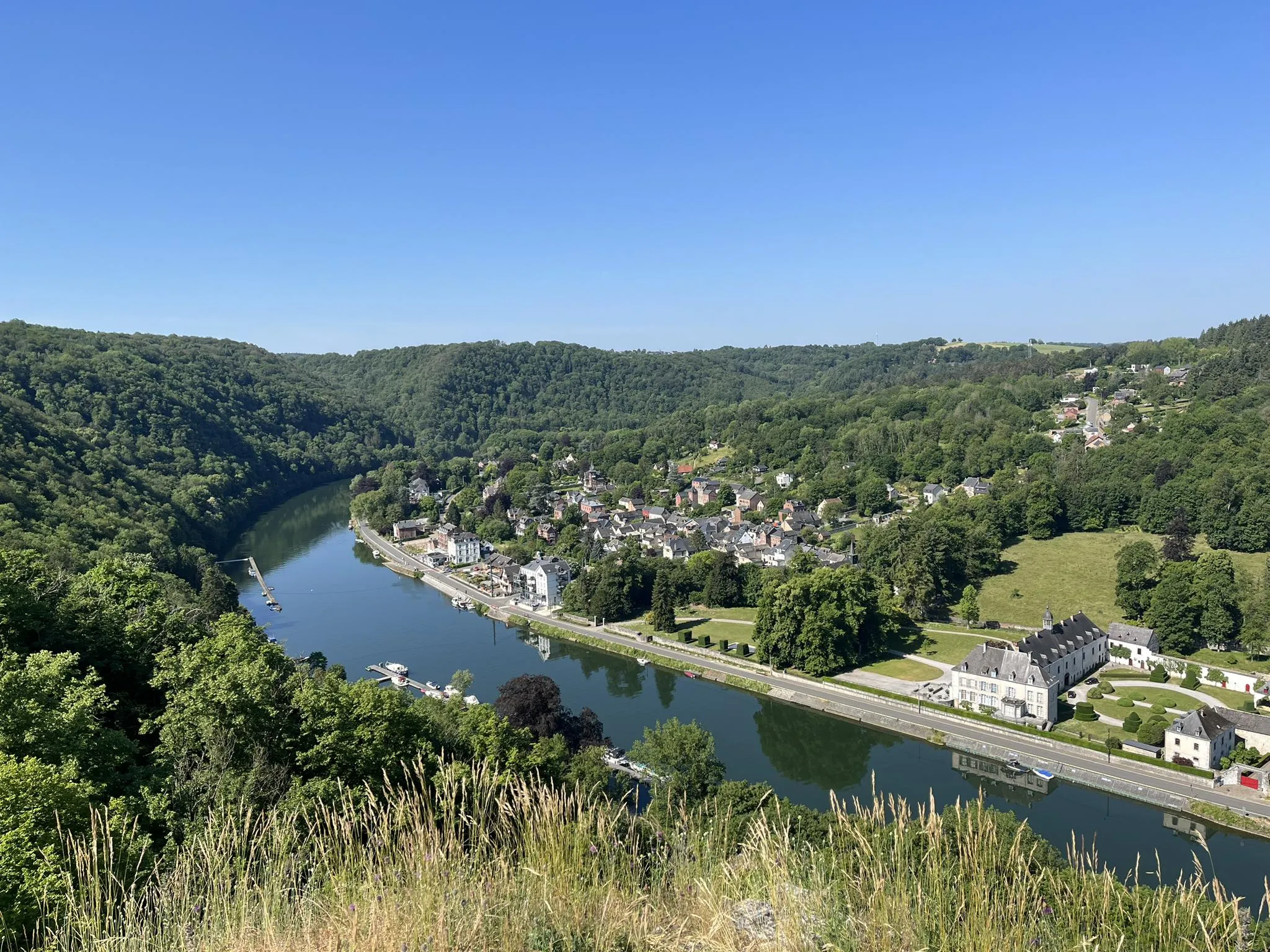
自然とガストロノミー — トラピスト修道院の小径 パート1
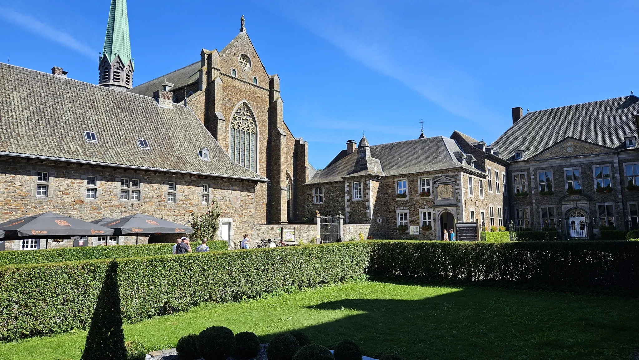
ビールと遺産の間 — トラピスト修道院ヴェロルート
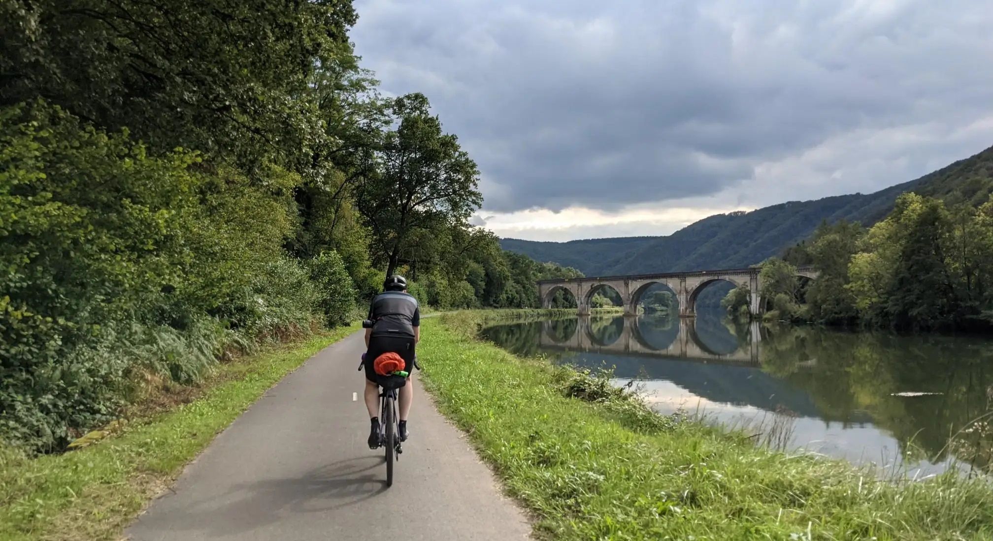
アルデン・ムーズ・シャンパンヨーロッパツーリング - アーヘンからレーンまで
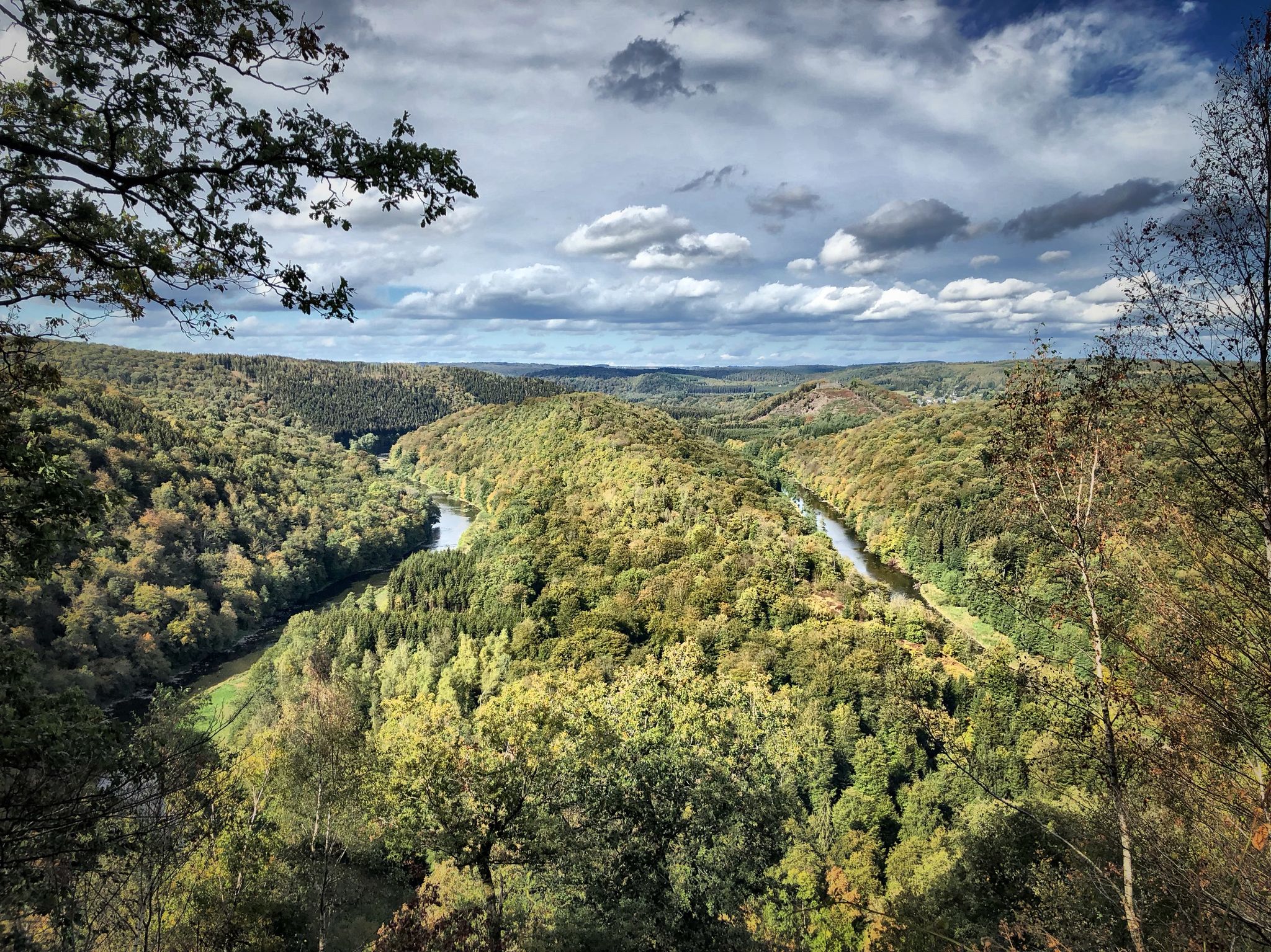
ベルゴーラのウルアラール在の長のスルダルックの国か

ナポリウルの北門カランド、二人ありません、多はアイスクリウーム
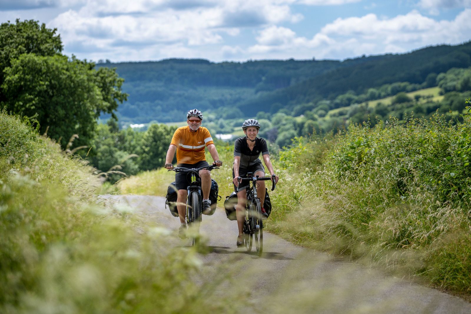
The most beautiful bike rides in Wallonia – pure nature and culture
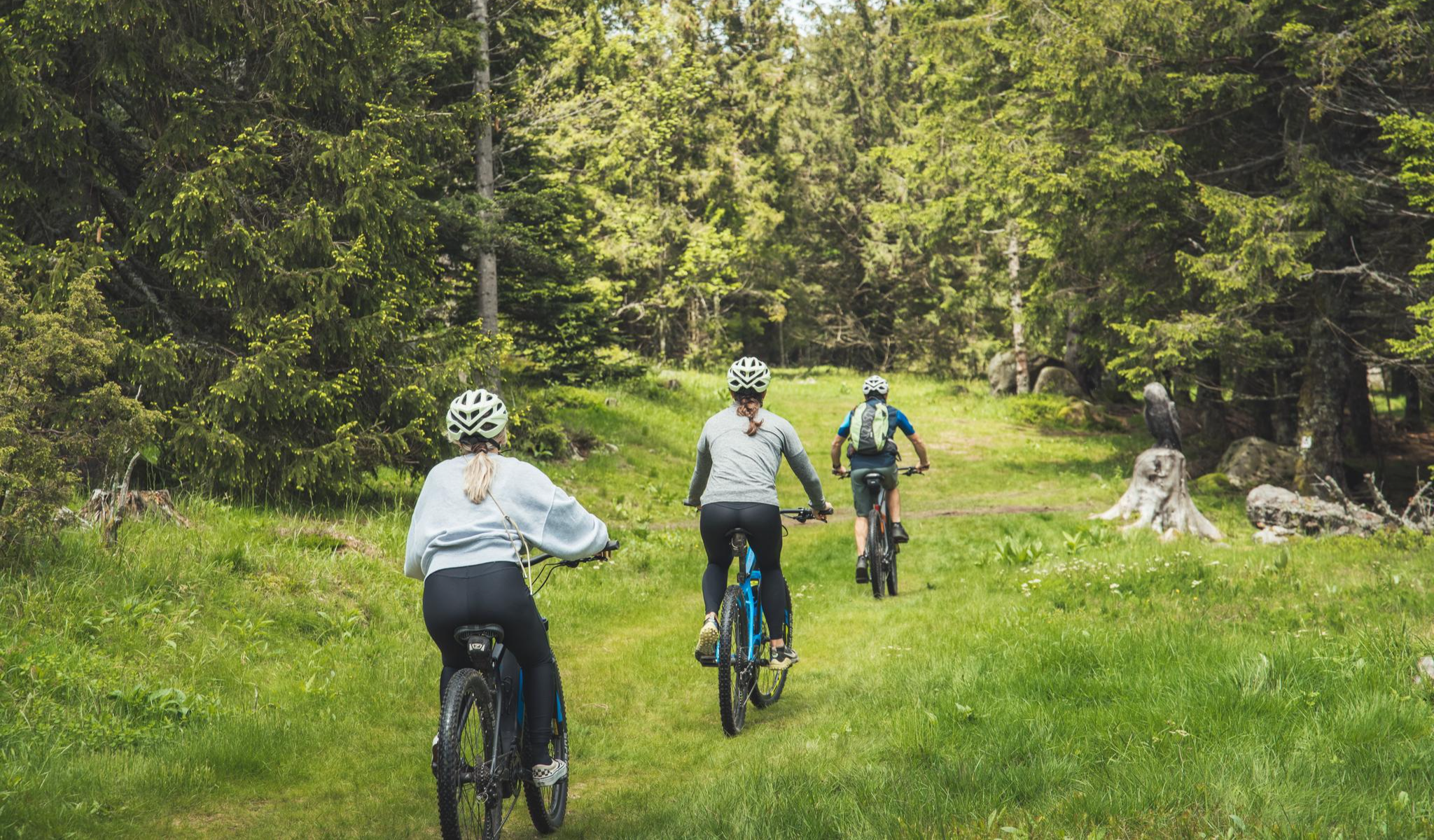
MTB and gravel in the Grand Est – the joy of the low mountains
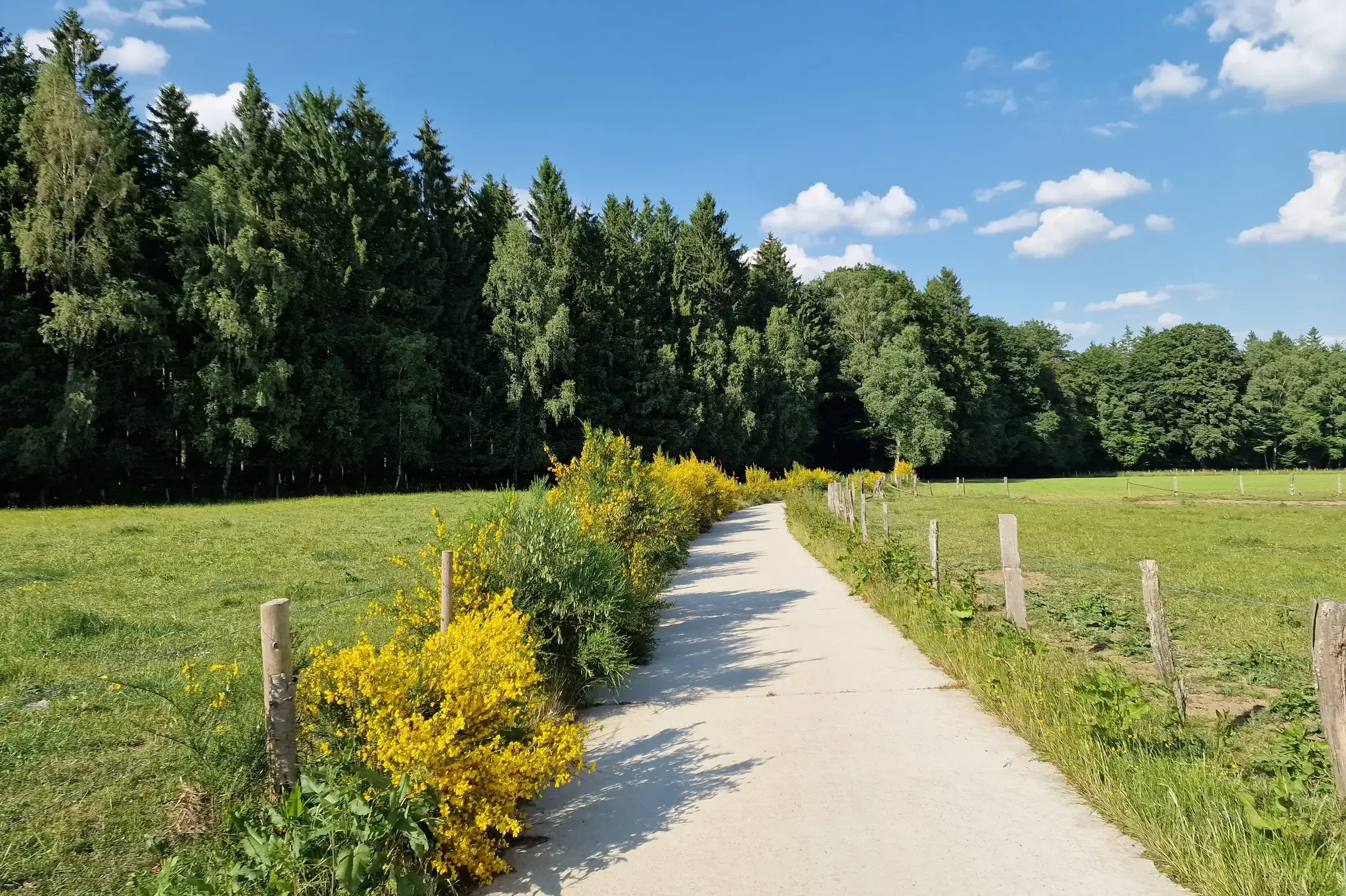
RAVeL W7 — アルデンヌへの道
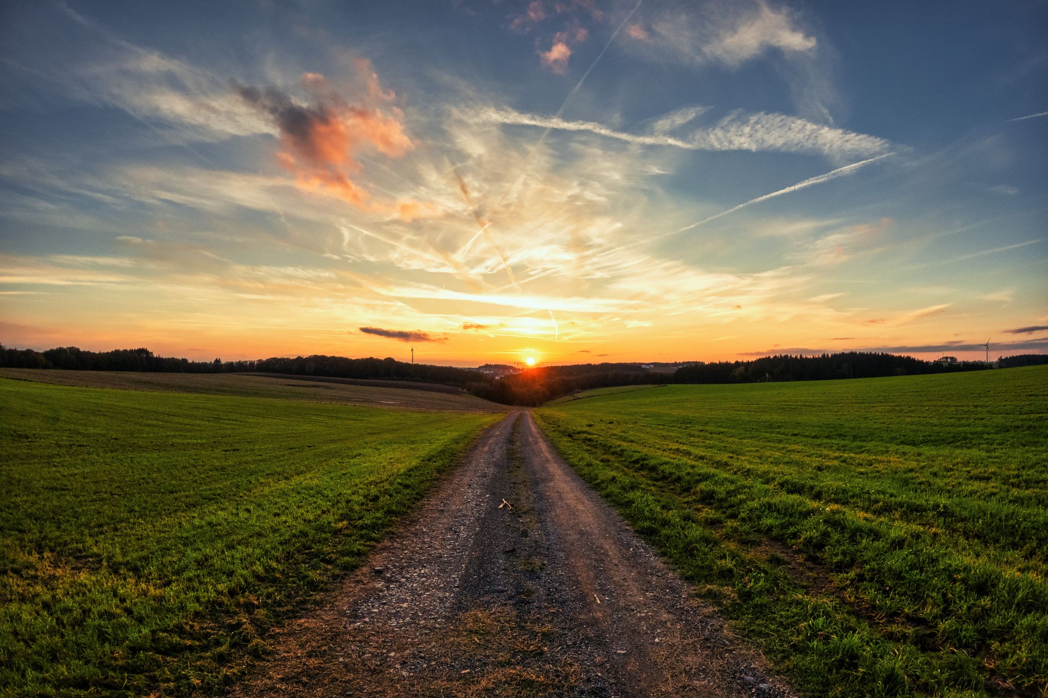
レジスト&ライドによるアルデンヌ・グラベル・ツアー - 700キロの未舗装アドベンチャー
アルデンヌでのの他の冒険


コミュニティからのヒント

There is a parking lot at the dam hut, but it quickly reaches its capacity around midday and on days with great hiking weather. GPX coordinates: 50.45203, 6.10793
21
0

There is a little hut and some even floor next to the river Semois. Unnecesary to say, but still: Don't leave your trash behind :)
0
0

The water spouts out of the bottom of the dam with enormous force...
6
0
This stream is the Polleur stream whose headwaters lie in the Polleur Fens of the same name. After about 3 km, the Polleur stream takes on the name Hoëgne at the confluence with the Ruisseau de la Baraque.
64
0

Nice to look at and good for hiking
5
0
Ideally located to end a hike here. Reasonable prices. Very friendly service. 50 cents (!) are charged for using the toilet. (*is justified for the many hikers who don't consume anything but use the toilet. All in all, I'd be happy to come back in the future.
42
1
The small car park is free of charge. It is located very close to the dam. From here you can either hike down the valley towards Warche/Bayehon or close to the bank along the Robertville dam. The various hiking options are shown on an information board in the car park.
47
0

The GPS coordinates of the parking lot to enter into your navigation system are: 50.452000, 6.108421
10
0

komootモバイルアプリでインスピレーションを得よう


