ルート

プランナー

機能

アップデート

App

ログインまたはサインアップ

アプリを入手

ログインまたはサインアップ

ルート
Places to see
Mountain Peaks
スペイン
カナリア諸島

フェルテベントゥラ島

フェルテベントゥラ島の絶景の山頂・トップ20


絶景を目指して登るのであれ、達成感のために登るのであれ、山頂を訪れることで、フェルテベントゥラ島の美しい自然をもっと満喫することができます。20
もの選択肢の中から、制覇する山頂を決めるのは簡単ではありません。スムーズに次の冒険で目指す山頂を選べるように、フェルテベントゥラ島の素晴らしい山頂をこのガイドにまとめました。

最終更新日: 8月 19, 2026

Pico de la Zarza山頂

ハイライト • 山頂

The mountain is the remnant of a stratovolcano that rose from the sea 21 million years ago.

翻訳者 Google •

役立つ情報

によるものです

ここでのハイキングを見る

スマートフォンに送信

保存

Talahijas

ハイライト • 山頂

You should look for good sunscreen and carry enough liquid. Due to the wind, which is always present, the sun's radiation is not noticeable so much. A nice view is always available.

翻訳者 Google •

役立つ情報

によるものです

保存

今すぐサインアップして、こんな場所を発見しよう

最高のシングルトラック、ピーク、その他のエキサイティングなアウトドアスポットのおすすめを受け取ろう。

無料新規登録

モンテ・アグダ

ハイライト • 山頂

Great view but sturdy shoes required, lots of loose scree

翻訳者 Google •

役立つ情報

によるものです

保存

バユーヨ山頂

ハイライト • 山頂

From the summit of the Vilcano de Bayuyo you have a fantastic view of Corralejo and the two islands of Lobos and Lanzarote. But you can also see El Cotillo …

翻訳者 Google •

役立つ情報

によるものです

保存

山頂への最後の登り

ハイライト • 登山

At this point you can decide whether you want to take on the last, relatively steep ascent or whether you would rather branch off down. Not that it's any less …

翻訳者 Google •

役立つ情報

によるものです

保存

無料でサインアップして、さらに多くの山を発見しましょう フェルテベントゥラ島での。

無料新規登録

すでにアカウントをお持ちですか?

無料アカウントで今日から始めよう

次の冒険が待っています。

ログインまたは登録

フェルテベントゥラ島周辺で人気
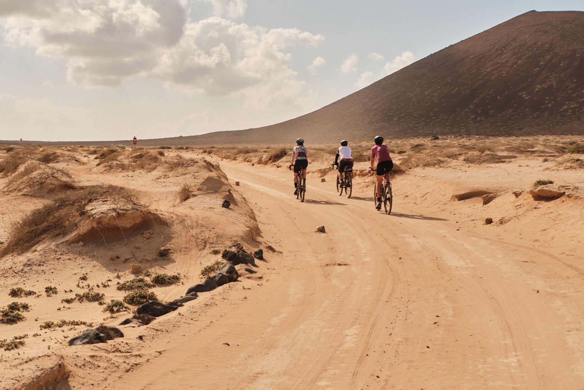
Komoot ウォテムール 2023: GranGuanche サァルチ
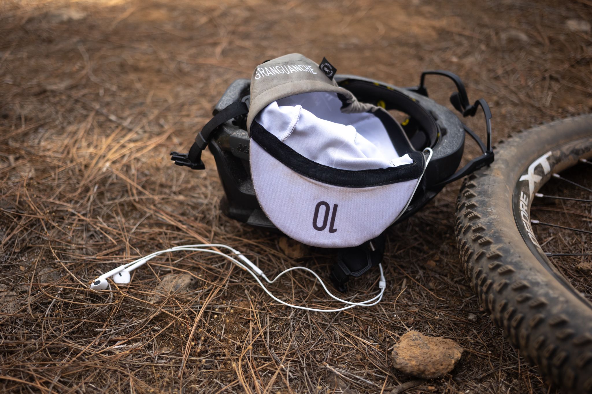
グラングアンチェ オーダックス トレイル – カナリア諸島での初めてのウルトラレース
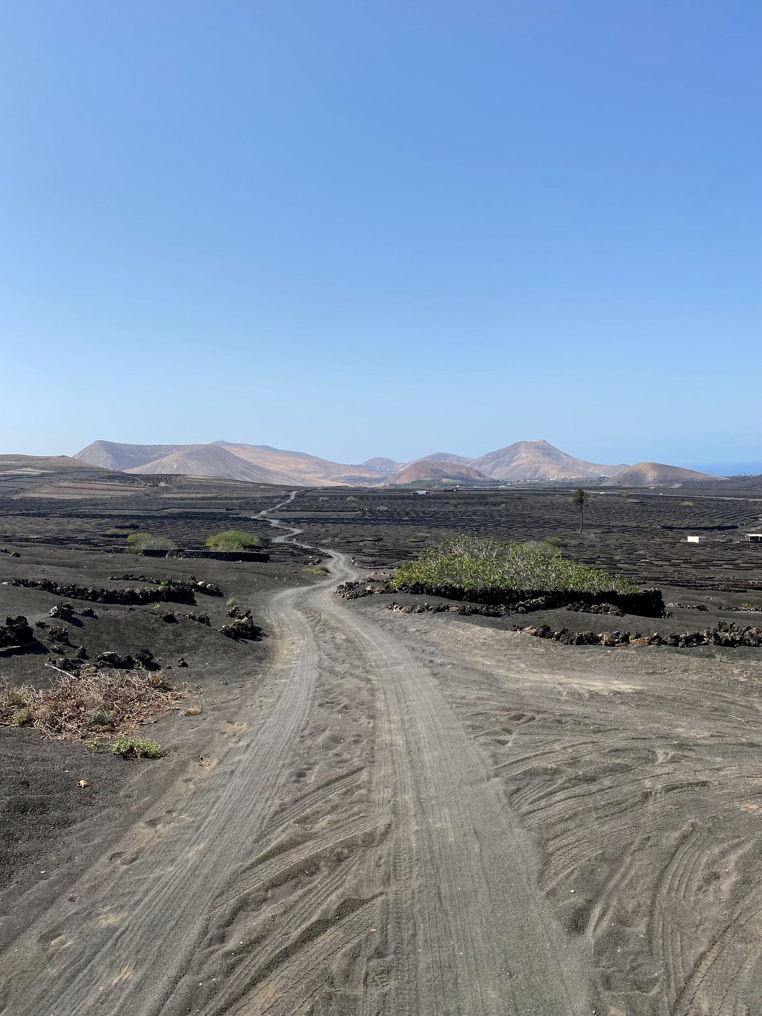
カナリア諸島でのバイクパック - 日光下での驚くべき冒険
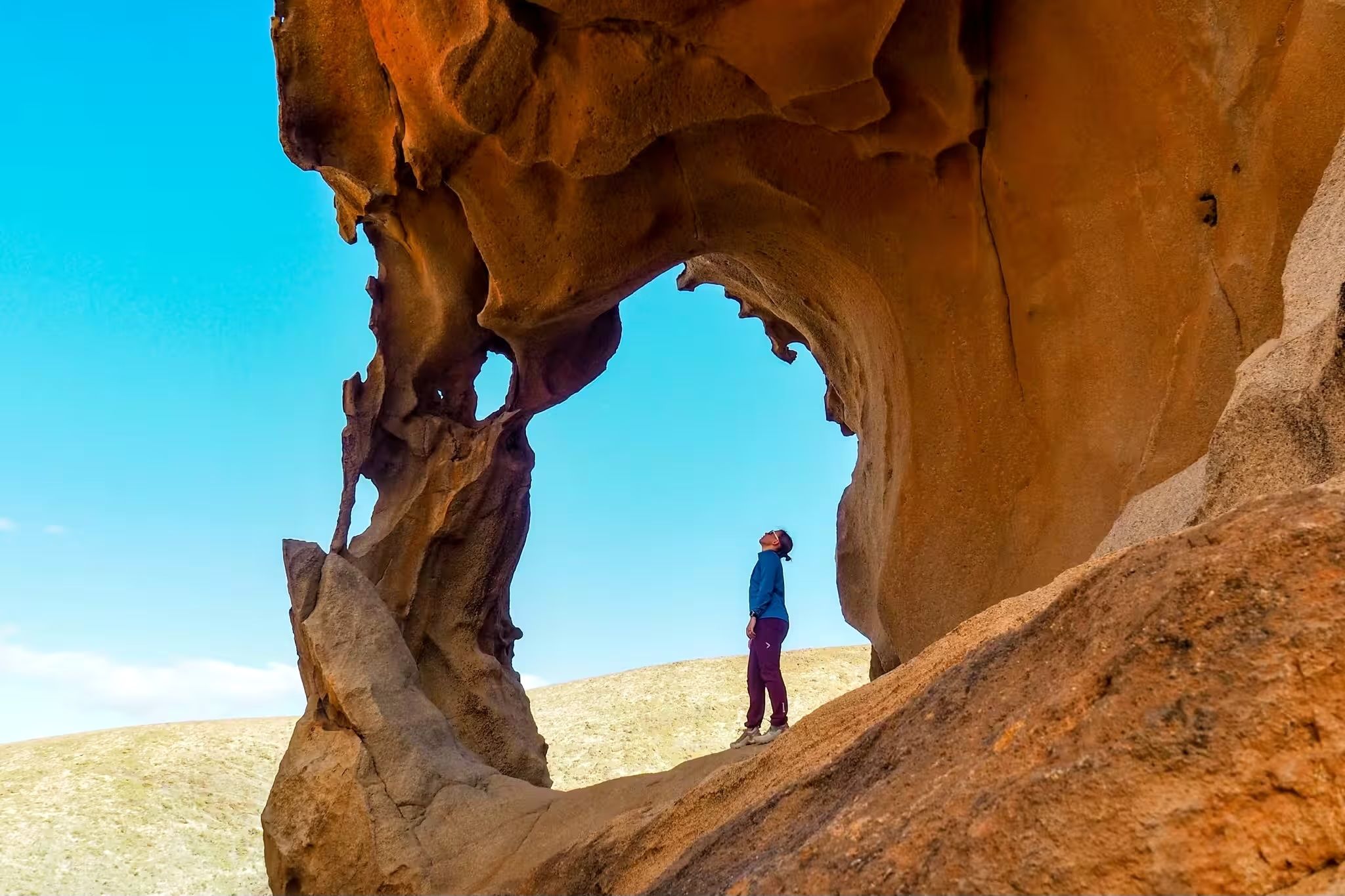
Canary Islands at a slow pace – six hikes immersed in nature
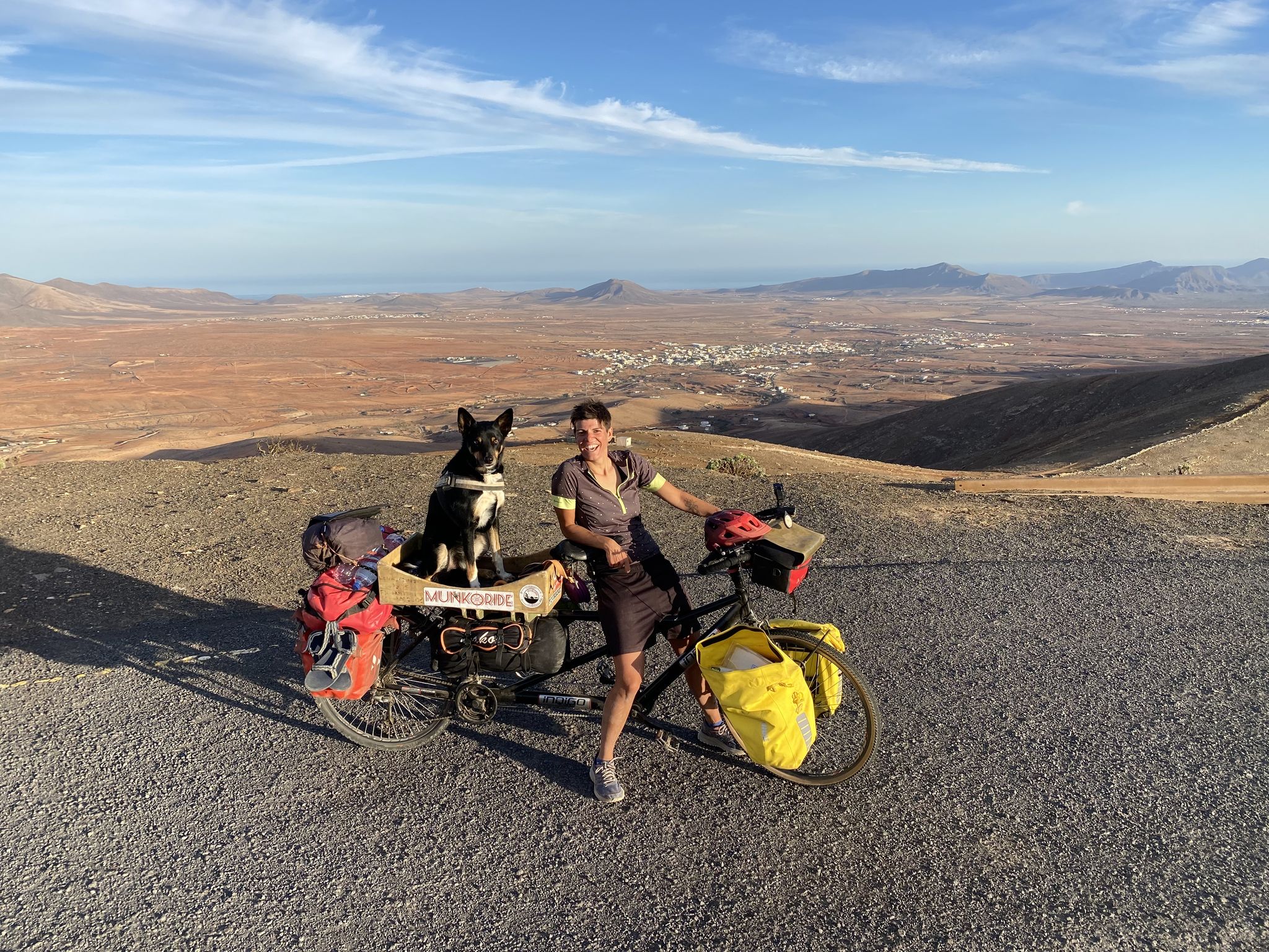
ルナー探査 - フエルテベンチュラの車で
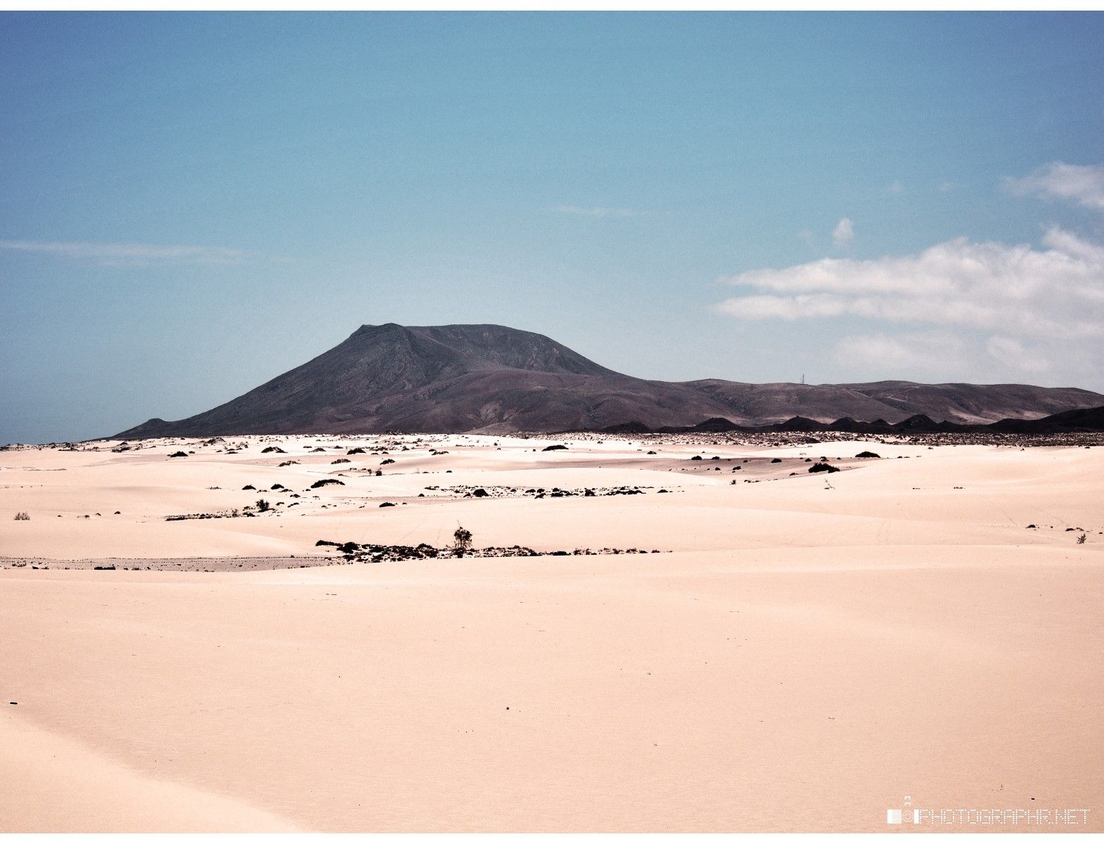
砂と海の国 - Fuerteventura Nature Trail (GR 131)
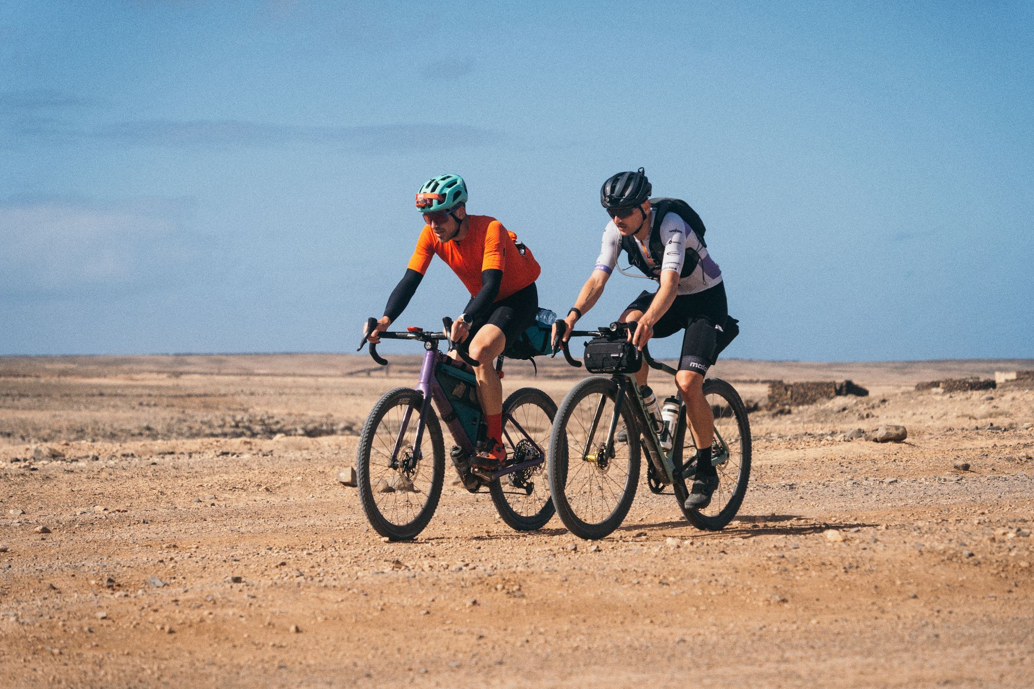
GranGuanche Audax Gravel — 2日半で5つの島
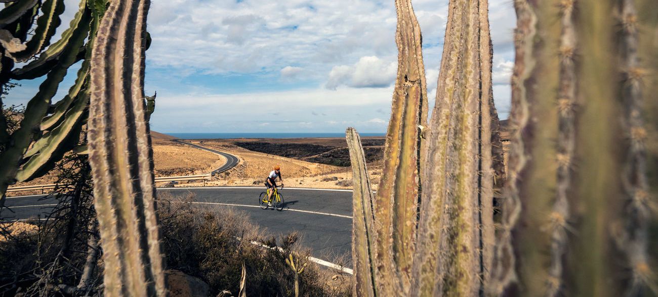
フエルテベンチュラのツアーで:カナリア諸島の夢のツアー
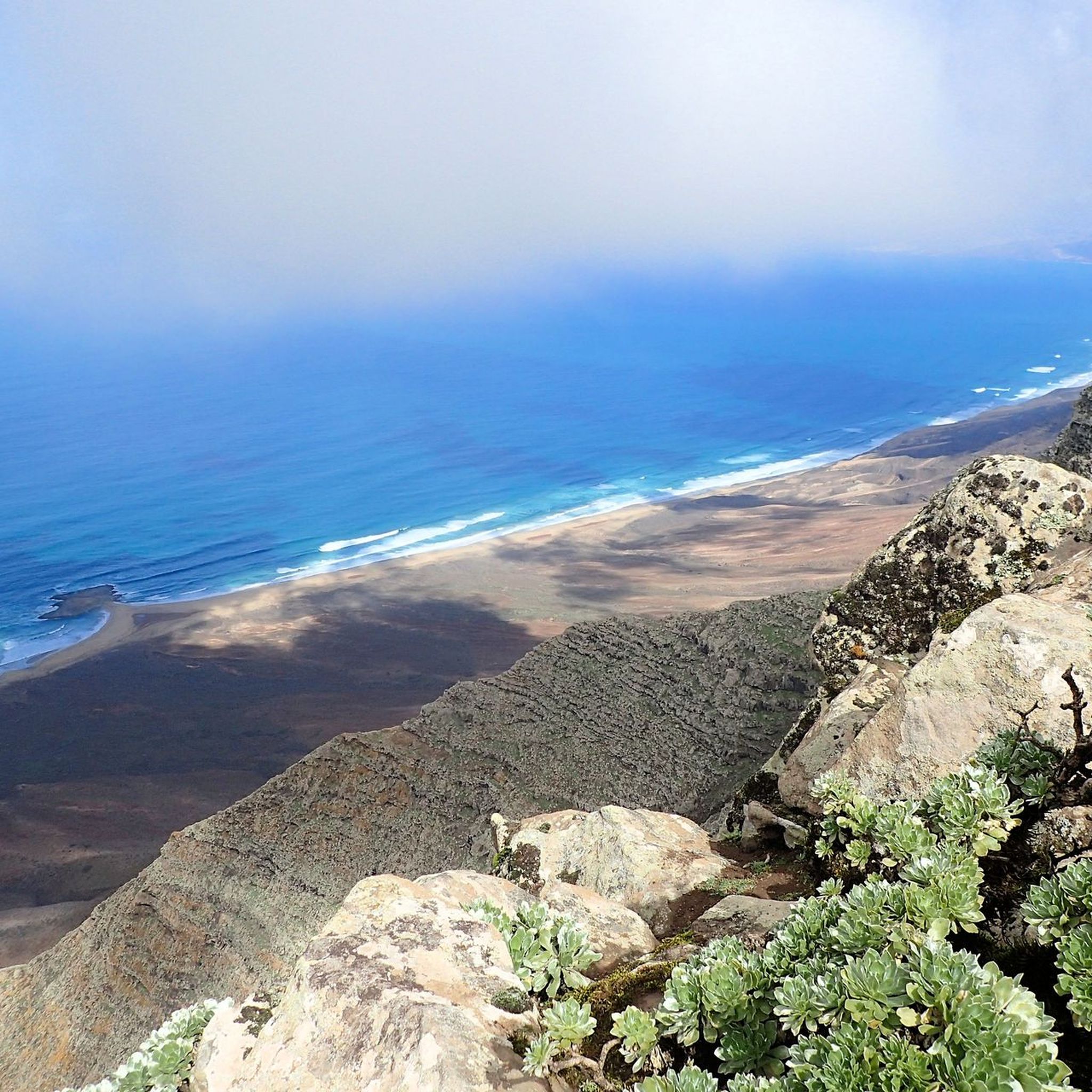
フェルテベントゥラ島でのハイキング
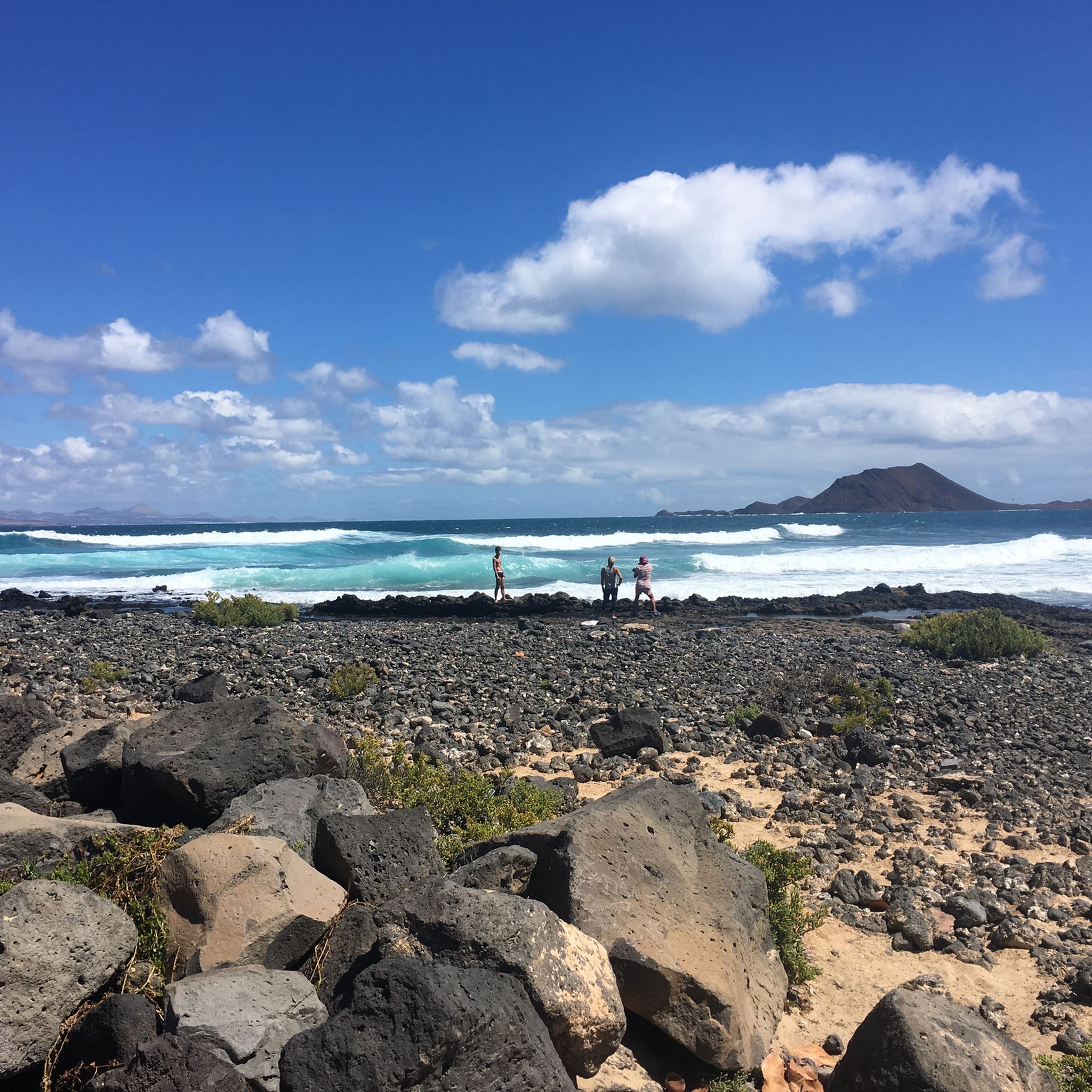
フェルテベントゥラ島のロードバイクルート

フェルテベントゥラ島でのの他の冒険

Komoot ウォテムール 2023: GranGuanche サァルチ

サイクリングのコレクション によって

Liz Seabrook

コミュニティからのヒント

Thomas 🖤💚
6月 11, 2026, Final Ascent to the Summit

ここは尾根の上にあるため、非常に風が強いことがあります。

Google翻訳による翻訳

1

0

Phroco
3月 7, 2026, Bayuyo Summit

As well as being fairly steep and loose, there is a sign at the base of the North-East ascent indicating that the path is closed from mid-February to July (I think) as its a bird nesting area.

0

0

Gisela MoMa
3月 21, 2025, Talahijas

The hike up Fuerteventura's highest mountain should be undertaken in sunny weather and with as little wind as possible. If trade wind clouds hang over the summit, you won't see anything.

Google翻訳による翻訳

3

0

CE-HAM
3月 17, 2025, Talahijas

A strenuous trail, especially the final stretch is very steep. Not for beginners, but worth the effort!

Google翻訳による翻訳

4

0

If you've made it this far, you should be able to make it to the summit!

Google翻訳による翻訳

1

0

Interesting information about the history of the Pico de la Zarza: https://de.m.wikipedia.org/wiki/Pico_de_la_Zarza

Google翻訳による翻訳

2

0

At the end it's about a kilometer steeply uphill

Google翻訳による翻訳

0

1

Absolutely recommended in cloudless weather

Google翻訳による翻訳

3

0

フェルテベントゥラ島でのの人気ルート

フェルテベントゥラ島でのハイキング

フェルテベントゥラ島でのの人気観光スポット

Places to see

Store rating

komootモバイルアプリでインスピレーションを得よう

無料のkomootアカウントがあれば、無限のアウトドアコースを簡単に見つけてカスタマイズし、ナビで案内できます。

または

今すぐkomootに参加しよう

Store rating

さらに探索

これらのガイドでさらに素晴らしい頂上を見てみましょうフェルテベントゥラ島での:

テネリフェ島ランサローテグランカナリア島ラ・パルマ島ノルテ・デ・テネリフェSur De Tenerifeラ・ゴメラ島(Isla De La Gomeraヒエロ島(Isla De Hierro

近くのアドベンチャーガイド

フエルテベントゥラでやるべきこと

background

新しいピークを征服する準備をしよう

無料でサインアップ

探検する
ルートルートプランナー機能バウチャーを利用ハイキングMTBトレイルロードバイクルートバイクパッキングサイトマップ
アプリをダウンロード
SNSでフォローする

© komoot GmbH

プライバシーポリシー