ケーテン(アンハルト)のおすすめMTBライド
4.7
(164)
339
ライダー
45
ライド
ケーテン(アンハルト)周辺でのマウンテンバイクは、その地形を最大限に楽しむのに最適なスポーツですが、ライドのスタート地点を探すのが難しいこともあります。ケーテン(アンハルト)周辺でおすすめのルートが見つかるように、人気マウンテンバイクルートをご紹介します。
最終更新日: 9月 16, 2026
5.0
(1)
9
ライダー
21.5km
01:09
40m
40m
初級者向けMTBライド. あらゆるフィットネスレベルに適しています。 あらゆるスキルレベルに適しています。
4.7
(3)
6
ライダー
23.0km
01:15
60m
60m
中程度のマウンテンバイクライド. あらゆるフィットネスレベルに適しています。 高度なライディングスキルが必要です。

9
ライダー
17.6km
00:54
30m
30m
初級者向けMTBライド. あらゆるフィットネスレベルに適しています。 あらゆるスキルレベルに適しています。
4.0
(5)
5
ライダー
55.0km
03:32
300m
300m
中程度のマウンテンバイクライド. ある程度のフィットネスレベルが必要です。 高度なライディングスキルが必要です。
5.0
(1)
5
ライダー
40.9km
02:12
70m
70m
中程度のマウンテンバイクライド. ある程度のフィットネスレベルが必要です。 あらゆるスキルレベルに適しています。
さらに多くのルートや他のユーザーのおすすめ情報を確認できます。
すでにアカウントをお持ちですか?
おすすめのツアーは他のkomootユーザーが実際に経験した何千ものアクティビティに基づいています。
無料アカウントで今日から始めよう
次の冒険が待っています。
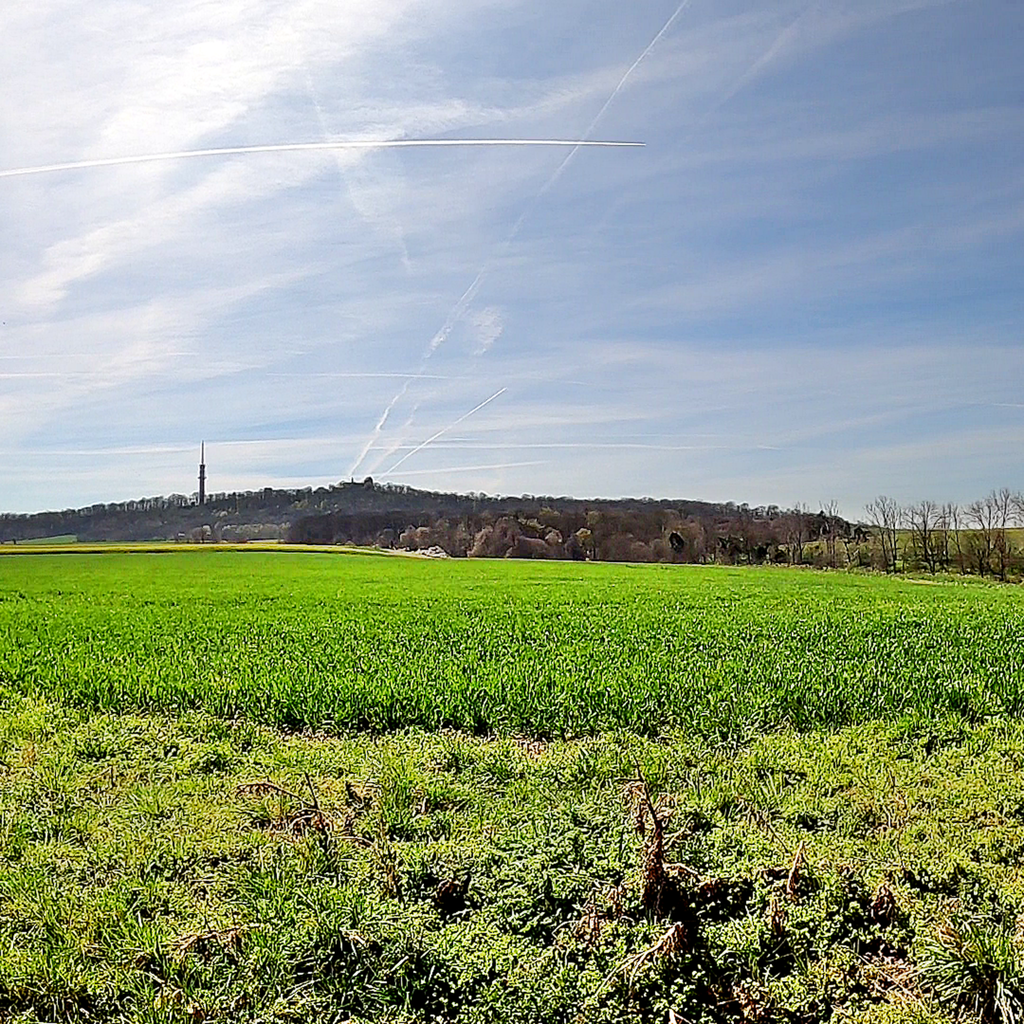
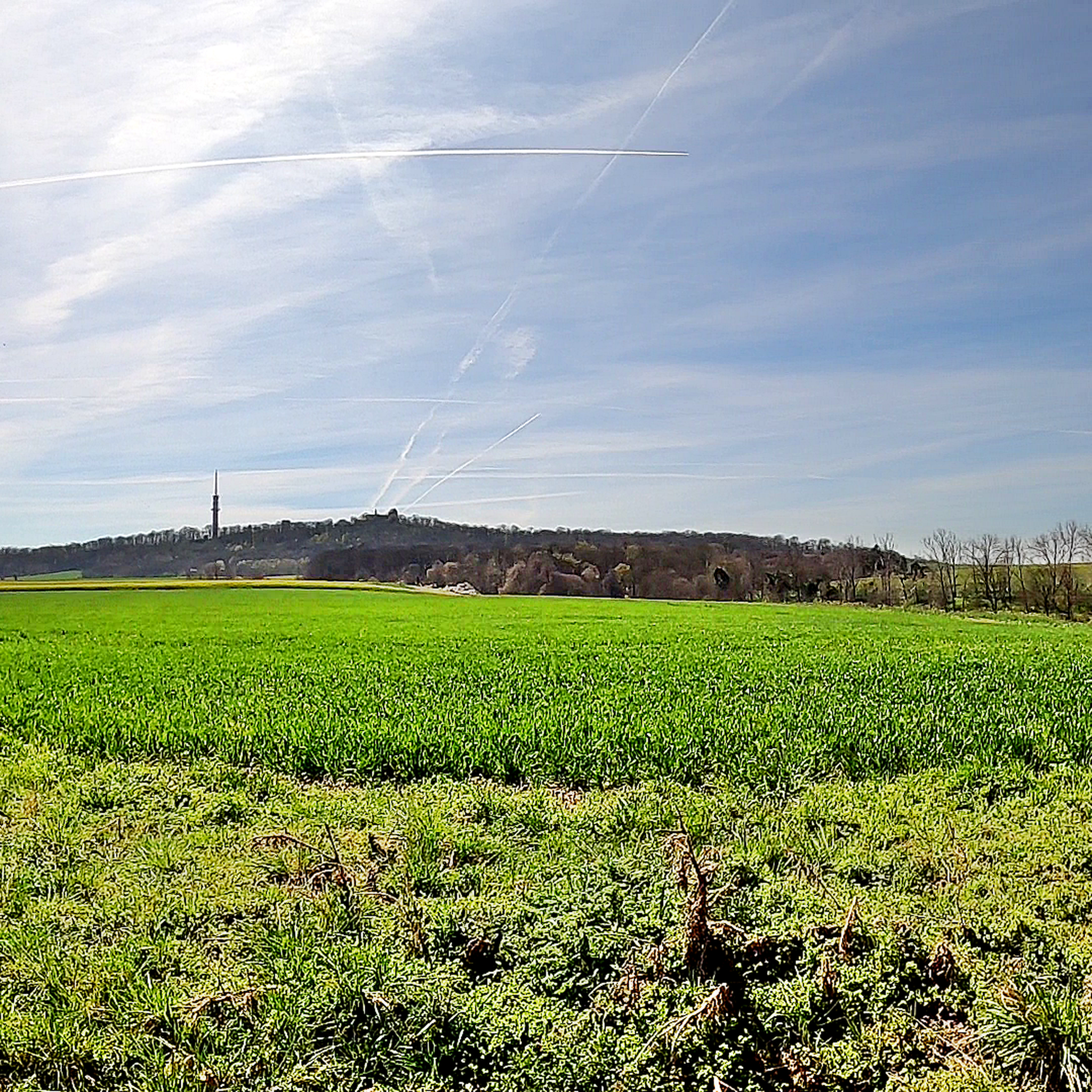
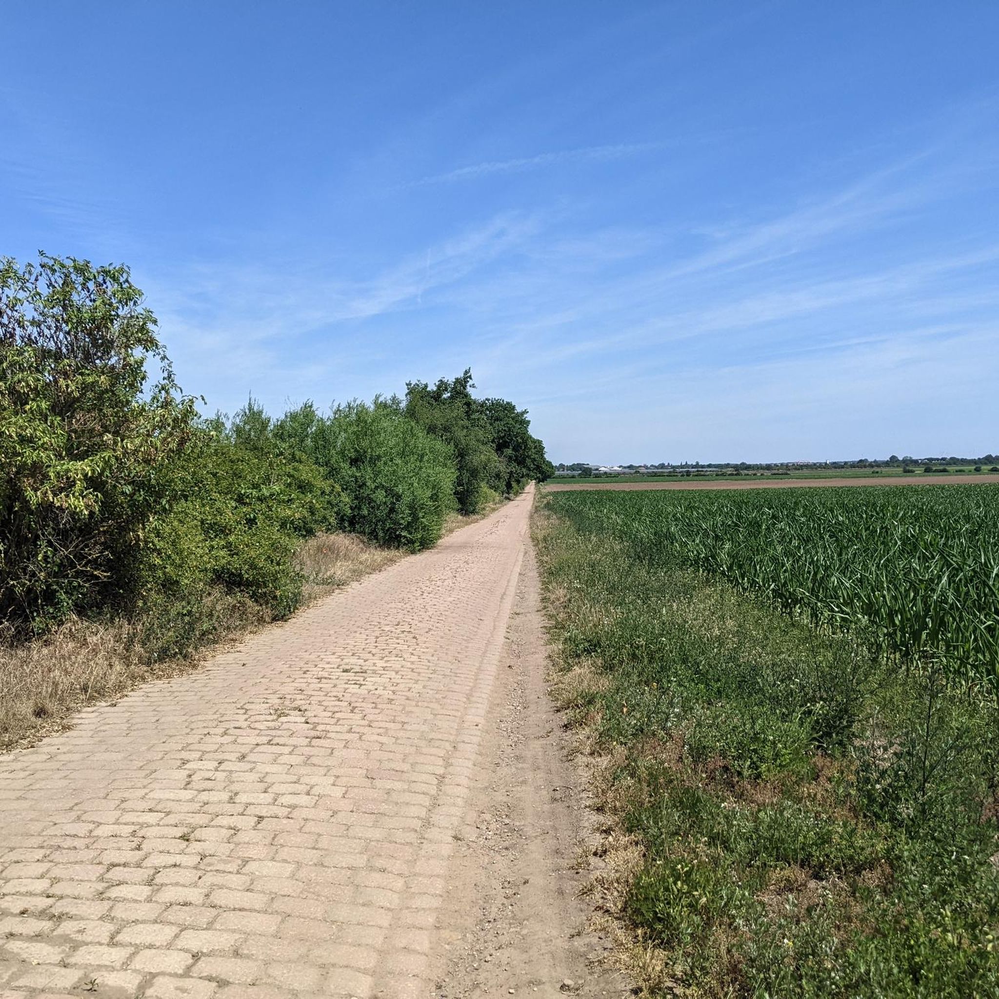
ケーテン(アンハルト)でのの他の冒険


コミュニティからのヒント

小さなフェリーで渡り、その後ブラムバッハのエルベ川沿いで素晴らしい食事を楽しむことができます
0
0

アッケンとデッサウの間のルートは、エルベ川沿いの最も美しいツアーの1つです。道はアッケンのフェリー(レストラン付きフェリーハウス)からデッサウのコルンハウス(バウハウス様式のピクニックロッジ)へと続いています。それは純粋な自然で、明るい砂州のあるエルベ川の美しい景色がたくさんあります。ブランバッハの対岸にあるレストランへは、渡し船サービスでアクセスできます。このルートは強くお勧めです。
0
0


The post mill on Mühlberg hill in Krosigk has a checkered history. Mills have existed in Krosigk since approximately the 15th century. The original mill was destroyed in a fire in the 1920s. This mill came from Gollma and was brought to Krosigk in 1995. It was destroyed in a storm in 2007 and rebuilt by 2010. Guided tours, including those of the Krosigk watermill, can be booked through the Krosigk Mill Association. https://krosigk-kaltenmark.de/Muehlen/
2
0
In 1958, after more than 100 years, open-cast mining operations at the site were discontinued because the deposits were exhausted. The remaining pit was gradually filled with water.[2] By 1967, the Edderitzer Lake, over 40 hectares in size and up to 41 meters deep, had formed from inflowing groundwater. It initially served primarily as a water reservoir for agriculture, but has also developed into a popular bathing lake.[4] It differs from traditional quarry lakes in its rather unplanned formation. After wild bathing areas had developed along various shores, problems with the embankment became apparent after 1989, presumably caused by the rising water level following the declining water extraction between 1990 and 1992, so large sections of the shore were closed off. From 1998 to 2003, the slopes were secured and a beach restaurant was created in the western area, while the former beaches on the eastern side remained closed.[4] For the reopening on May 15, a "House and Bathing Regulations of the Edderitz Seaside Resort" was published in the official gazette.[5] The lake has good water quality.[6] On the west side of the lake, there is a lido with a 400-meter-long sandy beach, volleyball courts, and a campsite. The lake is used for various water sports such as fishing and diving. A paved circular path surrounds the lake, which is used for hiking, cycling, skating, and summer and winter biathlon. There is also a geological educational garden with over 120 rocks on display and remnants of the open-cast mining history (lorry, water wheel).[7] In 2005, a life-sized "art cow" painted with fins and scales was sunk by the local diving club in Lake Edderitz and anchored at a depth of 25 meters.[8] Source: https://de.wikipedia.org/wiki/Edderitzer_See
4
0
The village of Edderitz is said to have received its name from the Slavic word jezerisco, as it was first mentioned as Ezeri in 973. There are and have been several ponds in the village, and several pit ponds near the village, but Lake Edderitz is by far the largest body of still water in the former municipality.[1] In the 19th century, the importance of coal mining increased significantly, and the Leopold mine was established in 1853. In 1935, it was decided to relocate a large part of the village to the north so that coal could be mined there as well. The new village was gradually built north of the Pfaffendorf-Edderitz road starting in 1938. A total of around 1,200 residents were resettled by 1952. In 1953, the sugar factory, which was located in the northwest of the old village, was demolished so that coal could be mined there as well. All that remained of the old village was the cemetery; the rest was dredged over. [Source: https://de.wikipedia.org/wiki/Edderitzer_See
4
0
Lake Edderitz is located in the Anhalt-Bitterfeld district, south of Köthen in the town of Southern Anhalt. It originated from the former Edderitz open-cast mine and is therefore also known as the "open-cast mine pit near Edderitz." Source: https://de.wikipedia.org/wiki/Edderitzer_See
5
0
ケーテン(アンハルト)でのの人気観光スポット

komootモバイルアプリでインスピレーションを得よう


さらに探索
他の地域の最高のMTBトレイルを見てみましょう。
