トラー・ポーコラムの絶景の山頂・トップ6
絶景を目指して登るのであれ、達成感のために登るのであれ、山頂を訪れることで、トラー・ポーコラムの美しい自然をもっと満喫することができます。6
もの選択肢の中から、制覇する山頂を決めるのは簡単ではありません。スムーズに次の冒険で目指す山頂を選べるように、トラー・ポーコラムの素晴らしい山頂をこのガイドにまとめました。
最終更新日: 8月 24, 2026
ゴールデン・キャップからの眺め
ハイライト • 山頂
役立つ情報 は

ゴールデンキャップとソーンコームビーコンの眺め
ハイライト • 山頂
役立つ情報 は

今すぐサインアップして、こんな場所を発見しよう
最高のシングルトラック、ピーク、その他のエキサイティングなアウトドアスポットのおすすめを受け取ろう。
無料新規登録
ソーンクーム・ビーコン
ハイライト • 山頂
役立つ情報 は

ワドン・ヒルの眺め
ハイライト • 歴史的な場所
It has a Roman fort of the Second Legion on a narrow east-west ridge, at an elevation of 210 meters.
役立つ情報 は

無料アカウントで今日から始めよう
次の冒険が待っています。
ログインまたは登録

コミュニティからのヒント

Location: It is situated about 2.5 miles (4 km) west of West Bay, between the villages of Eype and Seatown. Height: Its elevation is about 157 metres (515 ft) high, offering stunning panoramic views of the coastline, including West Bay to the east and the towering Golden Cap to the west. History: Its name comes from its use as one of a chain of beacon sites along the south coast of England, historically used to light fires to provide an early warning of invasion, most famously against the Spanish Armada in 1588.
0
0

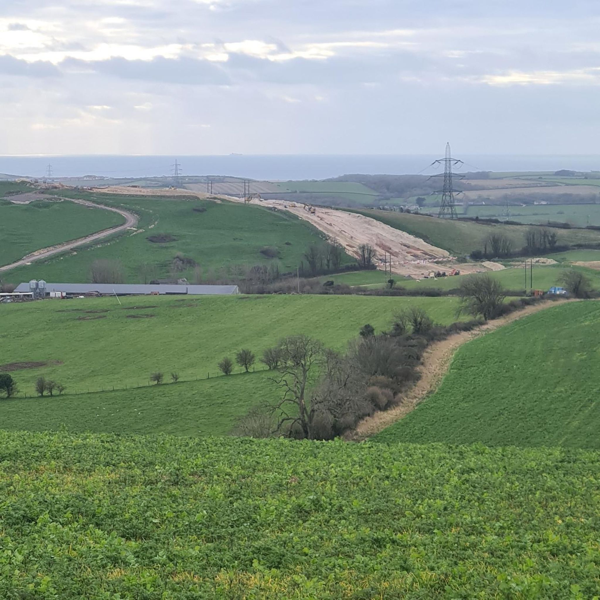
View over to Golden Cap, which is the highest point of the Jurassic coast.
1
0
The Highest point of all the JC. which is surprising as having walked the entire coast, I actually thought other sections were a lot tougher to climb, but the views I can imagine are amazing on the right day. we chose..... not the right day lol
0
0

Some breath taking views along the cliffs but be very careful and follow sinage and don't detour off official footpath
1
0

This hill takes its name from the Old English, meaning 'wheat hill.' It has a Roman fort of the Second Legion on a narrow east-west ridge, at an elevation of 210 meters.
0
0

トラー・ポーコラムでのの人気観光スポット

komootモバイルアプリでインスピレーションを得よう


さらに探索
これらのガイドでさらに素晴らしい頂上を見てみましょうトラー・ポーコラムでの:
