フラムフィールドの絶景の山頂・トップ4
フレームフィールド周辺の山頂は、サザン・ウィールドの内陸の丘陵地帯が特徴で、数多くの展望台や高台を備えた変化に富んだ地形を提供しています。伝統的な山頂はありませんが、この地域はイングランド、イースト・サセックス州内に広がる起伏のある丘と谷の景観を提供しています。この地域は、その自然の美しさと歴史的重要性で知られるウィールデン地区の一部です。地元の地理は、ハイキングや自然記念物の探索を含む、さまざまなアウトドアアクティビティをサポートしています。
フレームフィールド周辺の最高の山頂
- 最も人気のある山頂は King's Standing Clump です。ここはアッシュダウン・フォレストで最も高い地点を示す展望台であり頂上です。この場所は、かつての王室の狩猟監視所として歴史的に重要です。
- もう一つの必見スポットは Cliffe Hill Trig Point です。これは展望台であり自然記念物です。標高164メートルの頂上からは、トリグポイント(測量基準点)があり、ルイスの町を見渡す素晴らしい景色が期待できます。
- 訪問者は Greenwood Gate Clump も気に入っています。これは展望台であり頂上です。この場所はハイ・ウィールドAONB(景観保護地域)で最も高い地点の一つであり、イースト・サセックス州とケント州全体に広がるパノラマビューを提供しています。
- フレームフィールドは、展望台、自然記念物、頂上で知られています。高台の多様性により、この地域の多様な景観と史跡を探索することができます。
- フレームフィールド周辺の山頂は、komootコミュニティに高く評価されており、ハイライトは30以上の「いいね!」と4枚の写真が掲載されています。
最終更新日: 9月 18, 2026
キングズ・スタンディング・クランプ
ハイライト • 展望台
役立つ情報 は

Greenwood Gate Clump
ハイライト • 展望台
役立つ情報 は

今すぐサインアップして、こんな場所を発見しよう
最高のシングルトラック、ピーク、その他のエキサイティングなアウトドアスポットのおすすめを受け取ろう。
クリフ・ヒル三角点
ハイライト • 展望台
役立つ情報 は




コミュニティからのヒント


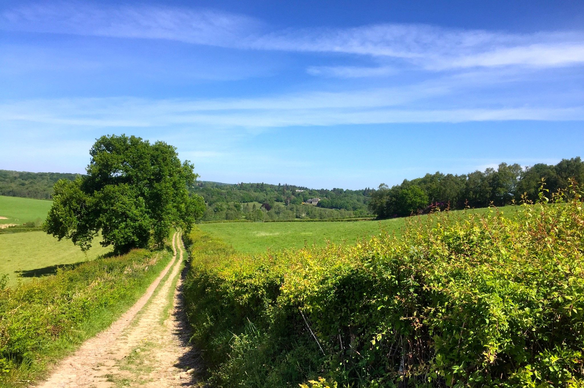
Cliffe Hill is a hill to the east of the town of Lewes in East Sussex, England. It is impressive on its western edge, where it looms over Lewes. Its 164m summit is covered in a golf course. It is the second lowest Marilyn in England and it has a trig pointed summit.
2
0

Beautiful views. Always worth the climb. Lovely place to stop for a snack, though can get breezy so need to shelter behind the gorse.
0
0

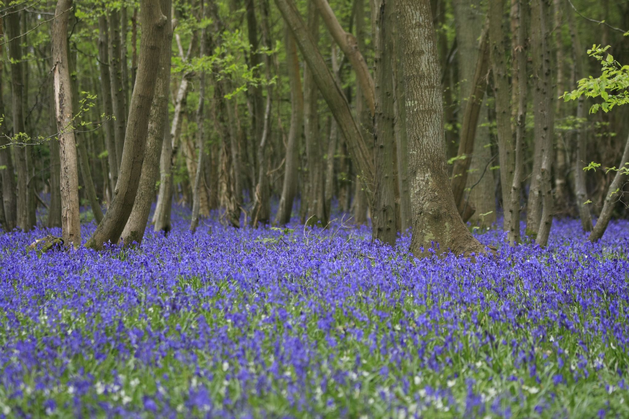
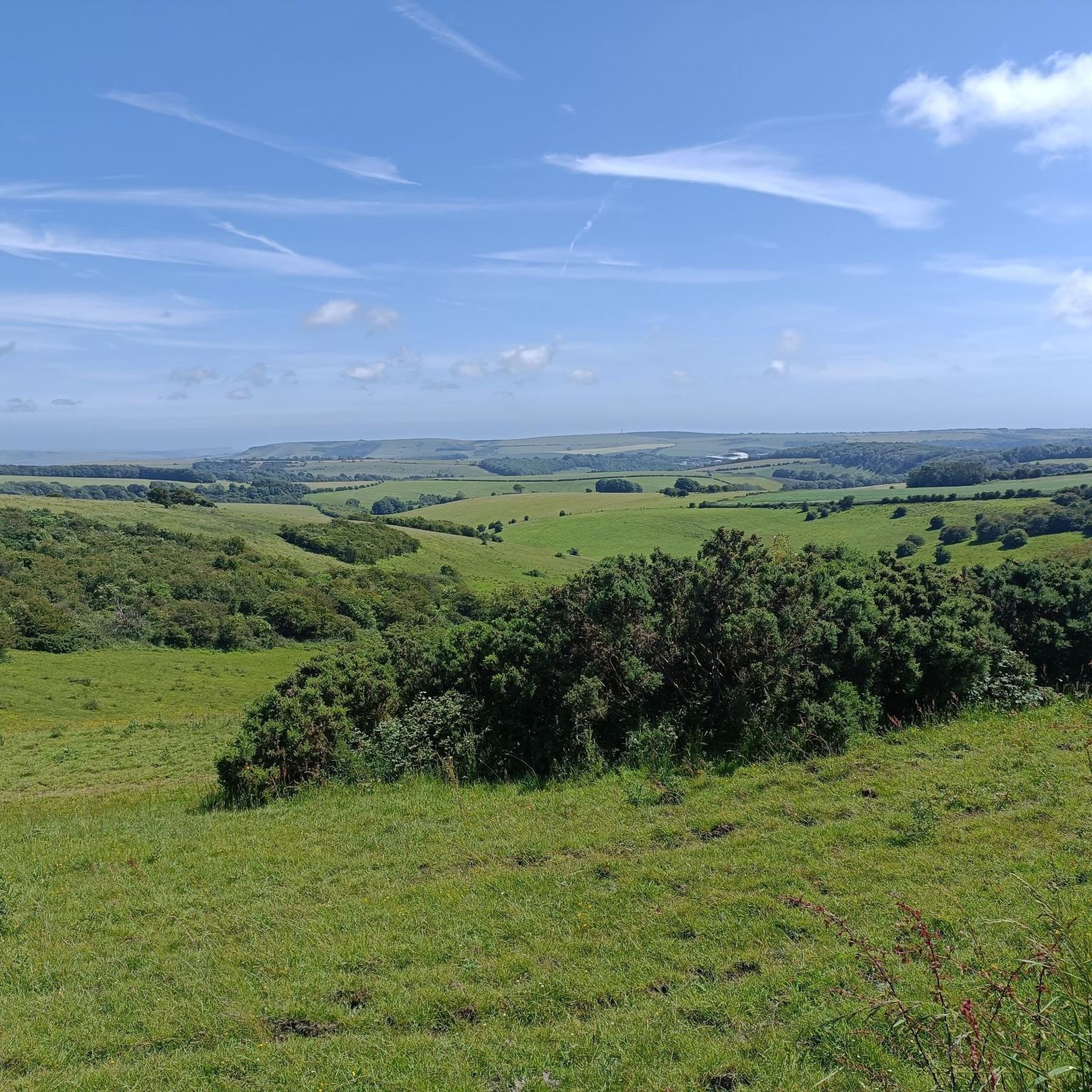
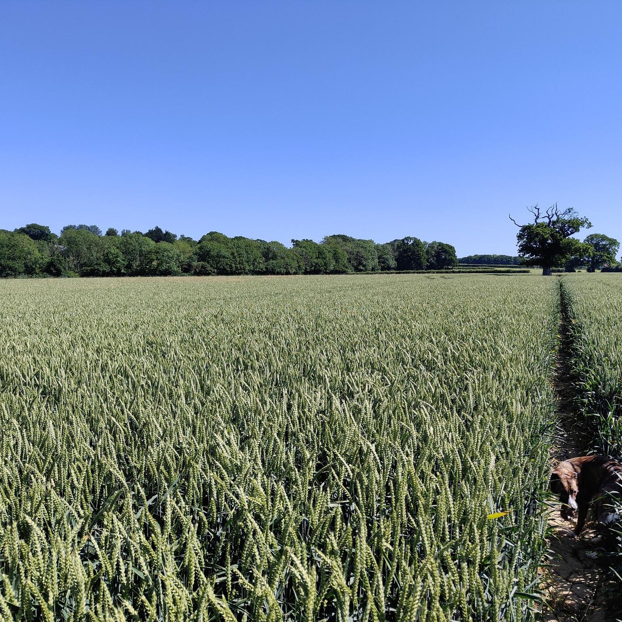
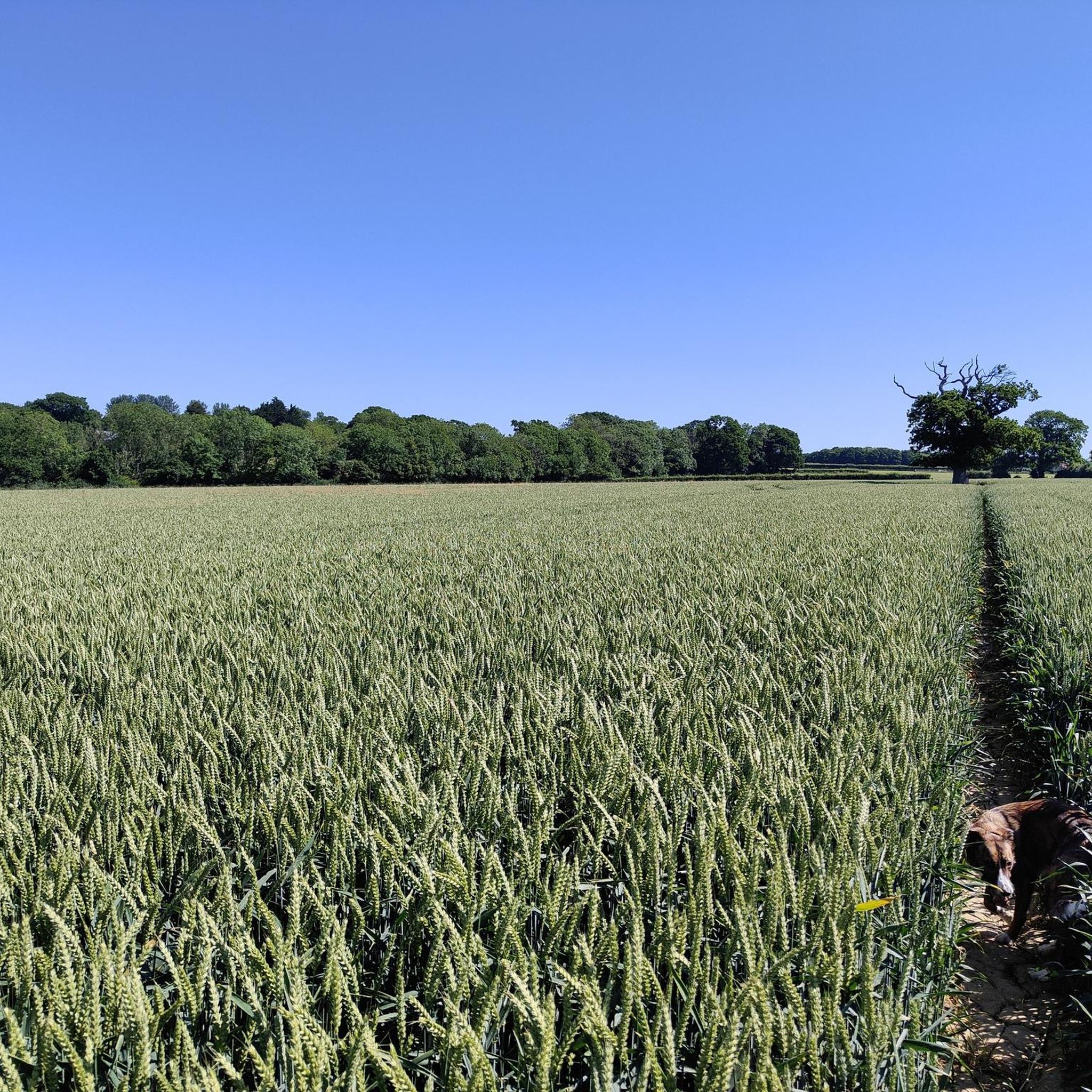
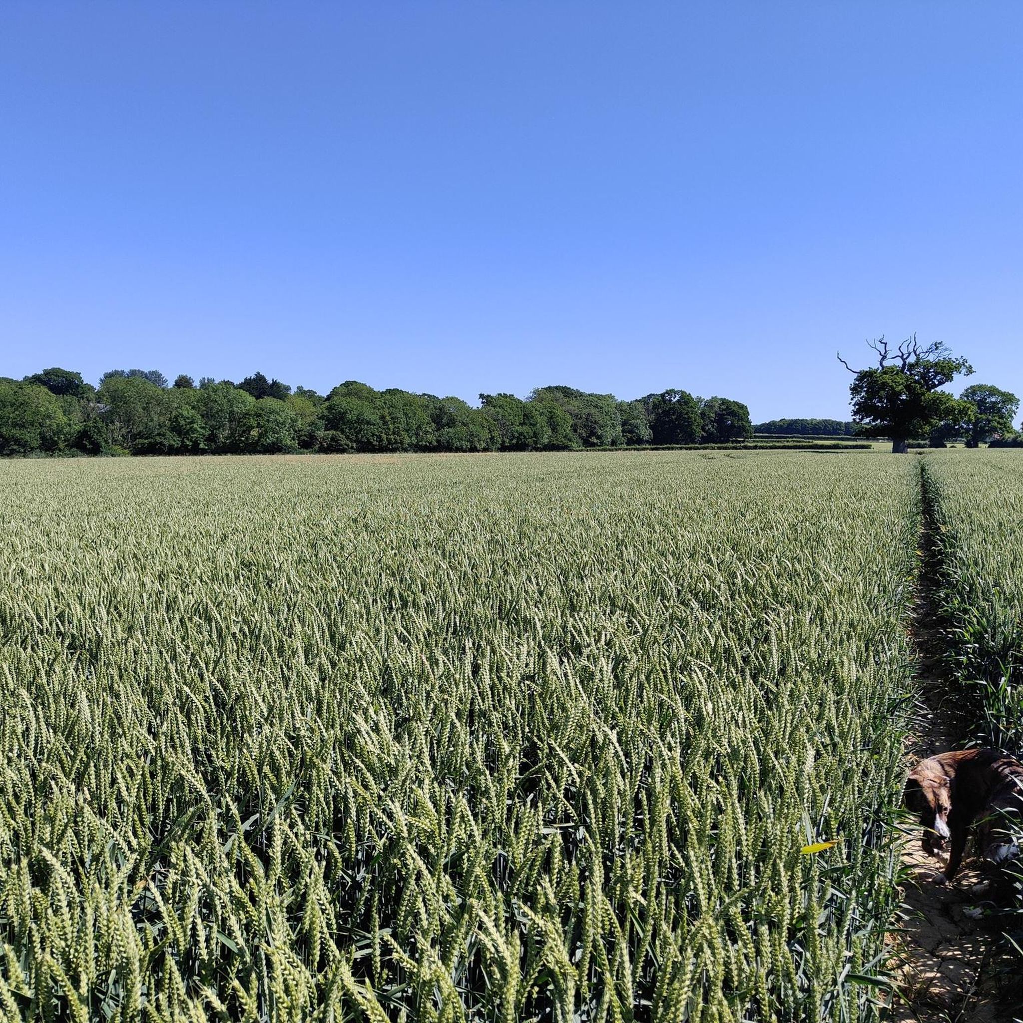
Along with Crowborough Beacon, which is just slightly higher, Greenwood Gate Clump is one of the highest points in the High Weald AONB at 732 feet (223 m). It is the highest point on the Wealdway long-distance trail between Gravesend and Eastbourne. From its surroundings you can take in an extensive panorama, with both chalk escarpments of the North and South Downs, as well as the rural pastures of East Sussex and Kent.
1
0

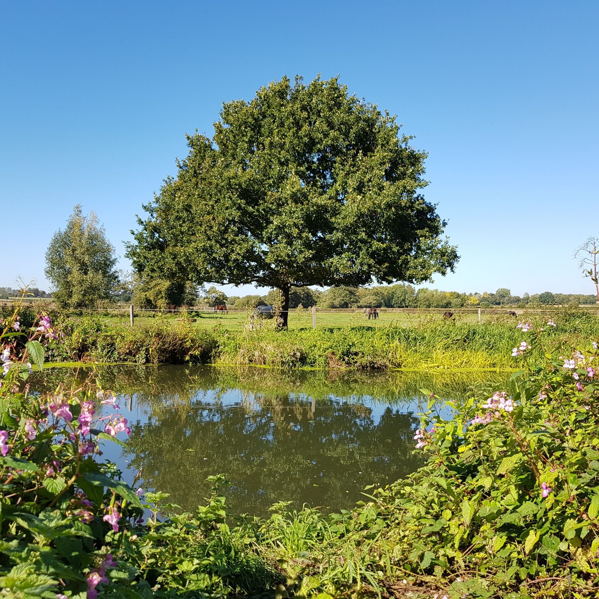
King's Standing is the highest point in the Ashdown Forest. It takes its name from a lookout tower that stood at the location of King's Standing Clump, now marked by a clump of trees, from where royalty would hunt deer. The area is now home to a police training centre, under which is an old government bunker dating back to the end of the Cold War. There were a lot of radio masts at this spot during the 80s but only one remains now. There's usually an ice cream van in King's Standing Car Park and there is a bench at the edge of the car park, facing King's Standing Clump.
0
0
King's Standing is the highest point in (or on) the Ashdown Forest. It takes its name from a lookout tower, which once stood at the location of King's Standing Clump (east of the road), from where royalty would hunt deer. The area is now home to a police training centre, under which is a old government bunker that was built towards the end of the Cold War. There were a lot of radio masts at this spot during the 80s but only one remains now. There's usually an ice cream van in King's Standing Car Park and there is a bench at the edge of the car park, facing King's Standing Clump.
0
0
よくある質問
Framfield周辺で最も注目すべき高台や「ピーク」は何ですか?
Framfieldは伝統的な山の頂というよりは丘が特徴ですが、いくつかの際立った高台からは素晴らしい眺望とアウトドア体験ができます。これらには、歴史的重要性で知られ、アッシュダウン・フォレストの眺めを提供するキングス・スタンディング・クランプ、ハイ・ウィールドAONB全体の広大なパノラマを提供するグリーンウッド・ゲート・クランプ、そしてルイスとサウス・ダウンズの素晴らしい眺めを提供するマウント・カバンが含まれます。
Framfield近郊の高台周辺に、家族向けのハイキングオプションはありますか?
はい、キングス・スタンディング・クランプは家族向けと考えられています。散策やサイクリングに最適な場所で、駐車場にはしばしばアイスクリーム車が来ており、家族連れにとって快適な休憩場所となっています。
これらの高台からはどのような眺めが期待できますか?
グリーンウッド・ゲート・クランプからは、ノース・ダウンズとサウス・ダウンズの断崖の両方、そしてイースト・サセックスとケントの田園風景を含む広大なパノラマを楽しむことができます。マウント・カバンからは、ルイスとサウス・ダウンズの素晴らしい眺めが楽しめます。
Framfield周辺の高台を訪れるのに最適な時期はいつですか?
一般的に、気候が穏やかで眺望が最もクリアになる春、夏、初秋が訪問に最適な時期です。しかし、この地域の丘は一年中楽しむことができ、それぞれの季節が風景に異なる視点を提供します。
これらの場所には歴史的な遺跡や興味深い場所がありますか?
はい、キングス・スタンディング・クランプには重要な歴史的背景があります。かつて王族が鹿狩りをした見張り塔にちなんで名付けられ、冷戦時代には無線塔が設置され、警察訓練センターの下には古い政府用バンカーがありました。
これらの高所の近くでどのようなアウトドアアクティビティができますか?
フレームフィールド周辺地域では、様々なアウトドアアクティビティが楽しめます。マウンテンバイク、グラベルバイク、ランニングのための数多くのルートがあります。特定のトレイルやガイドについては、フレームフィールド周辺のマウンテンバイクトレイル、フレームフィールド周辺のグラベルバイク、およびフレームフィールド周辺のランニングトレイルをご覧ください。
経験豊富なハイカー向けの挑戦的なハイキングやトレイルはありますか?
より挑戦的な体験を求める方には、キャバーン山への登りが挑戦的と分類されています。素晴らしい景色が楽しめますが、急なセクションがあり、より長いルートの一部となることもあります。
高所を巡る周回ウォーキングコースは見つけられますか?
はい、この地域の多くのルートは、高所を周回ウォーキングコースに組み込んでいます。例えば、キャバーン山に関するヒントでは、提案されたMTBトレイルの途中に周回ルートがあり、戻る前に探索することができます。
フレームフィールドのすぐ近くで最も高い地点はどこですか?
キングス・スタンディング・クランプはアッシュダウン・フォレストで最も高い地点として記録されています。近くのグリーンウッド・ゲート・クランプは、クロウボロー・ビーコンと共に、ハイ・ウィールドAONBで最も高い地点の一つ(海抜223メートル)です。
注目すべきユニークな自然の特徴はありますか?
パノラマビューの他にも、変化に富んだ自然景観が見られます。キングス・スタンディング・クランプは森林環境の中にあり、クリフ・ヒル・トリグ・ポイントは標高164メートルの頂上に特徴的なトリグポイントがあり、ゴルフコースにも覆われています。
フラムフィールドでのの人気観光スポット

komootモバイルアプリでインスピレーションを得よう


さらに探索
これらのガイドでさらに素晴らしい頂上を見てみましょうフラムフィールドでの:
