チリカフラピーク周辺のアトラクション&必見スポット - トップ20
チリカフラピークには必見のスポットがたくさんあります。ハイキング愛好家やサイクリング愛好家の方は、ぜひチリカフラピークを探索してこのエリアにある20
の隠れたスポットを訪れてみてください。このエリアの必見スポットを確認し、次の冒険に出かける計画を立てましょう。
最終更新日: 8月 30, 2026
エド・リッグス・トレイル
ハイライト (セグメント) • トレイル
役立つ情報 は

エコーキャニオントレイル
ハイライト • トレイル
役立つ情報 は
今すぐサインアップして、こんな場所を発見しよう
最高のシングルトラック、ピーク、その他のエキサイティングなアウトドアスポットのおすすめを受け取ろう。
無料新規登録
マサイ・ポイント
ハイライト • 展望台
役立つ情報 は
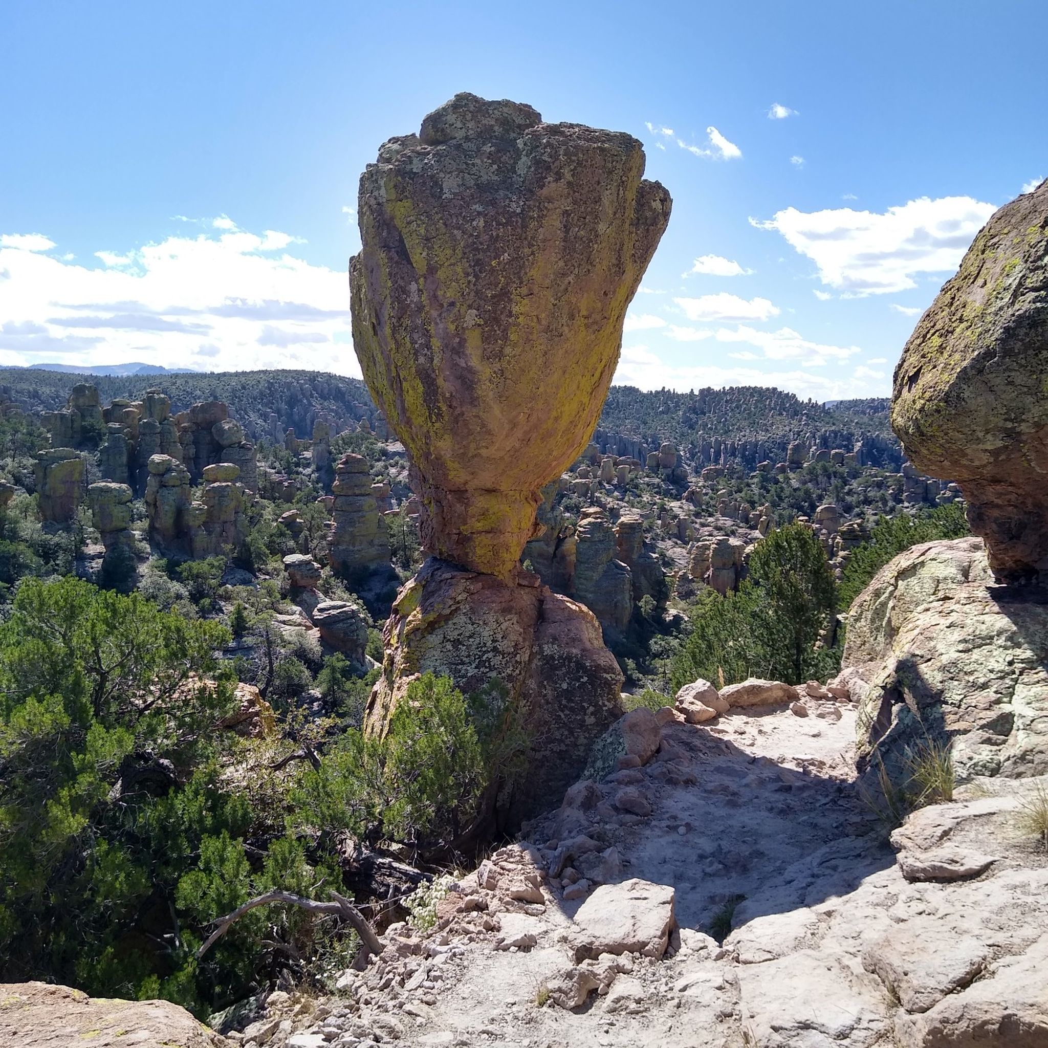
ビッグバランスドロック・トレイル
ハイライト (セグメント) • 自然記念物
役立つ情報 は
チリカウア国定記念物ビジターセンター
ハイライト • 休憩所
役立つ情報 は
サラ・デミング・トレイル
ハイライト (セグメント) • トレイル
役立つ情報 は
アッパー・サラ・デミング・トレイル
ハイライト • トレイル
役立つ情報 は
トランス・マウンテン・ロード クライム - チリカウア国定記念物 東側
ハイライト (セグメント) • 登山
役立つ情報 は
アッパーライオライトキャニオントレイル
ハイライト (セグメント) • トレイル
役立つ情報 は
ポータル・バンクハウスとヘビの展示
ハイライト • 山小屋
役立つ情報 は
無料でサインアップして、さらに多くの観光スポットを発見しましょう チリカフラピークでの。
無料新規登録
すでにアカウントをお持ちですか?
無料アカウントで今日から始めよう
次の冒険が待っています。
ログインまたは登録
チリカフラピーク周辺で人気
コミュニティからのヒント

The visitor center, on the right 3.5 miles on Bonita Canyon Dr after the West entrance, is open from 8:30 am to 4:30 pm. It has an information desk, museum, park film, and gift shop. It provides free maps, junior ranger booklets, and information. The museum area includes geology, biodiversity, and human history exhibits. Its architecture showcases Civilian Conservation Corps rock work and "Mission 66" architecture. The park store offers shirts, books, stickers, magnets and other collectibles to remember your visit.
0
0
This gravel forest road FR 42 is the eastern part of the connection from the town of Portal at Cave Creek Canyon up and over the mountains before dropping down to Hwy 181 near the West entrance to Chiricahua National Monument. It connects to the paved end near Portal, labelled Cave Creek Road, while the section west of Onion Saddle is often labelled Pinery Canyon Road or South Pinery Canyon Road. The first four miles on Cave Creek Road from Portal are paved. Just before the Southwest Research Station at Herb Martyr Road (FR 42A) it turns to dirt and is a graded dirt road the rest of the way. It is rocky in places. In Cave Creek Canyon camping is only allowed in campgrounds. Once you are on National Forest land beyond the SW Research Station there are tons of dispersed camping sites all the way to the forest boundary.
0
0
The Portal Bunkhouse is a two-room cabin located one mile west of Portal, Arizona. Constructed in 1933 by the Civilian Conservation Corps, the Bunkhouse is listed on the National Register of Historic Places. The structure is one of the finest remaining examples of river-cobble masonry construction from that era. In the neighboring building is a live snake exhibit with a dozen terrariums of snakes that live in the surrounding area. There are restrooms and drinking water fountain open to the public. https://www.fs.usda.gov/r03/coronado/recreation/portal-bunkhouse The Portal Bunkhouse is a two-room cabin, suitable for up to four people. It has electricity, heater, and running water. The cabin has a bedroom with bathroom including a shower, sink, and toilet; and a kitchen with a dining area. The bedroom has a twin-over-double bunk bed and a single bed. A small dinette with seating for four is located in the kitchen, which is equipped with a stove, oven, microwave, refrigerator, and coffee pot. Pots, pans, utensils, and dishes are provided. Outside, guests can use the propane grill and picnic table for outdoor dining. It can be reserved for $100 per night, for up to 14 days https://www.recreation.gov/camping/campgrounds/250019 Although the cabin has amenities for comfortable lodging, guests will need to provide some of their own supplies, including food, sleeping bags or linens, pillows, towels, dish soap, matches, a first aid kit, toilet paper, and garbage bags. It is recommended that guests bring additional drinking water, and a flashlight in case of emergencies. The Portal Bunkhouse is located at the entrance to Cave Creek Canyon at an elevation of 5,000 feet. The canyon's soaring cliffs, with their caves and pinnacles, are often described as "Arizona's 'Secret' Grand Canyon." Cave Creek, a perennial stream, flows through the canyon nearby. The diverse wildlife that can be seen in the canyon include a stunning variety of bird species. Cave Creek Canyon is located on the eastern slope of the Chiricahua Mountains in southeastern Arizona, about 2.5 hours from Tucson. It is world-renowned for its dramatic rock formations and diverse wildlife. Birding is exceptional year-round, and particularly rewarding during the summer months. Hiking and rock-climbing are also popular activities, and picnic areas dot the canyon for its many hikers.
0
0

Certainly the busiest place in the Park, but well worth it.
0
0
Superb view, and possible departure from this point to do the small or large loop allowing you to discover the entire park and its magnificent landscapes. The parking lot is not very big so arrive early. There are dry toilets.
0
0

Open from 8:30 AM to 4:30 PM MST. They hold exhibits about geology, natural history, archaeology, and cultural history at the visitor center. There is also a bookstore with a great variety of topics ranging from Apache history to children's books. Closed on Thanksgiving and Christmas Day.
2
0

Good place to take info and water and start hiking up the Canyon 3.5 miles to the Heart of Rock loop
2
0
チリカフラピークでのの人気ルート
チリカフラピークでのの人気観光スポット

komootモバイルアプリでインスピレーションを得よう


さらに探索
まだ探しているハイライトが見つかりませんか?他の地域のトップアトラクションのガイドを見てみましょう:
