カウディエス・ドゥ・コンフランの峡谷・トップ6
カウディエス・ドゥ・コンフランには 6
の息を呑むほど美しい峡谷があります。以下に紹介する必見の峡谷一覧に掲載されている写真、おすすめ情報、その他のデータを参考にして、次の冒険でカウディエス・ドゥ・コンフランの美しい峡谷を訪れる際に役立てましょう。
最終更新日: 10月 14, 2026
カランサのコルニッシュ
ハイライト • 峡谷
翻訳者 Google •
役立つ情報 は

カランサ渓谷の吊り橋
ハイライト • 峡谷
翻訳者 Google •
役立つ情報 は

今すぐサインアップして、こんな場所を発見しよう
最高のシングルトラック、ピーク、その他のエキサイティングなアウトドアスポットのおすすめを受け取ろう。
コルニッシュの道
ハイライト (セグメント) • トレイル
翻訳者 Google •
役立つ情報 は

Roc de la Foradada
ハイライト • 自然記念物
翻訳を表示中
役立つ情報 は

テット川のニックポイント
ハイライト • 自然記念物
翻訳者 Google •
役立つ情報 は

無料でサインアップして、さらに多くの峡谷を発見しましょう カウディエス・ドゥ・コンフランでの。
すでにアカウントをお持ちですか?
無料アカウントで今日から始めよう
次の冒険が待っています。
コミュニティからのヒント

岩盤をくり抜いて作られた道で、それが名前の由来です。少しでも勇気があれば、ここを通るスリリングな冒険を楽しめるでしょう。
1
0

Take your time and respect the two-person-at-a-time rule.
0
0


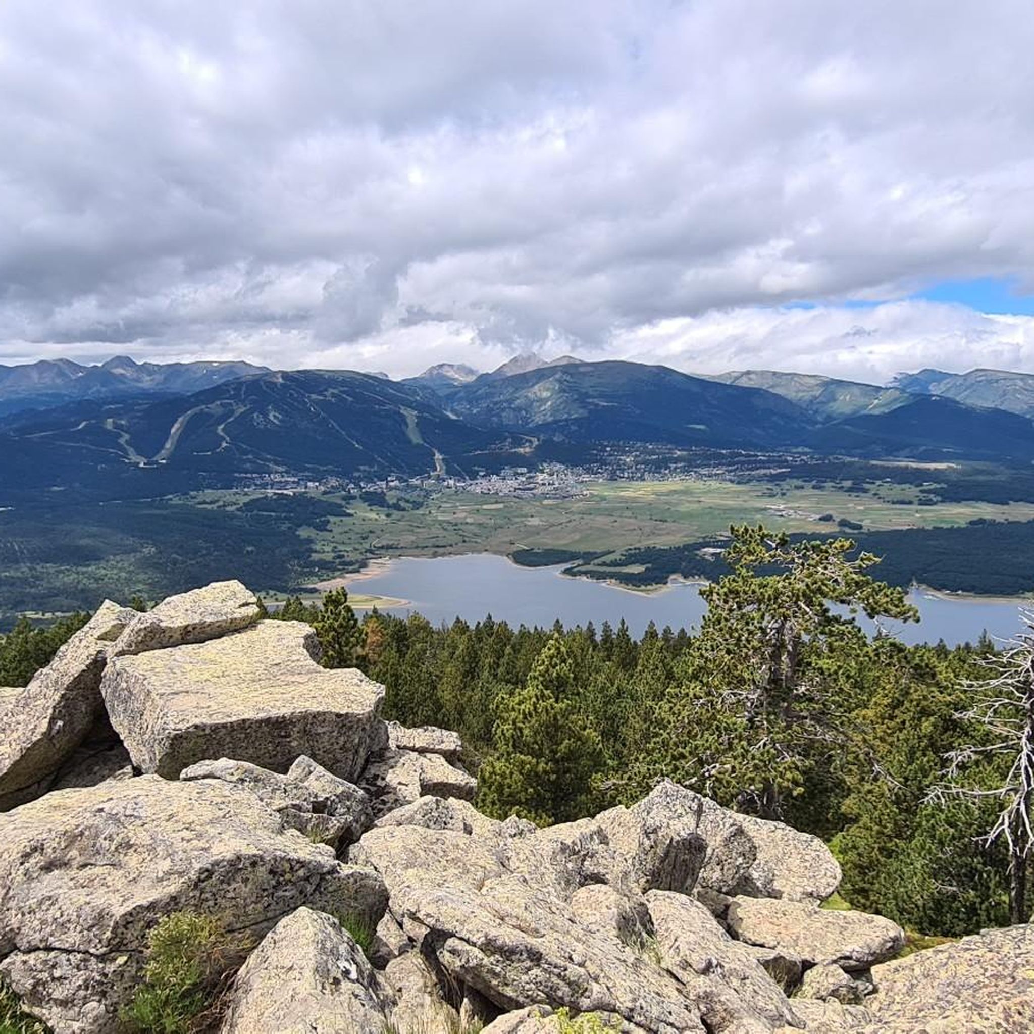
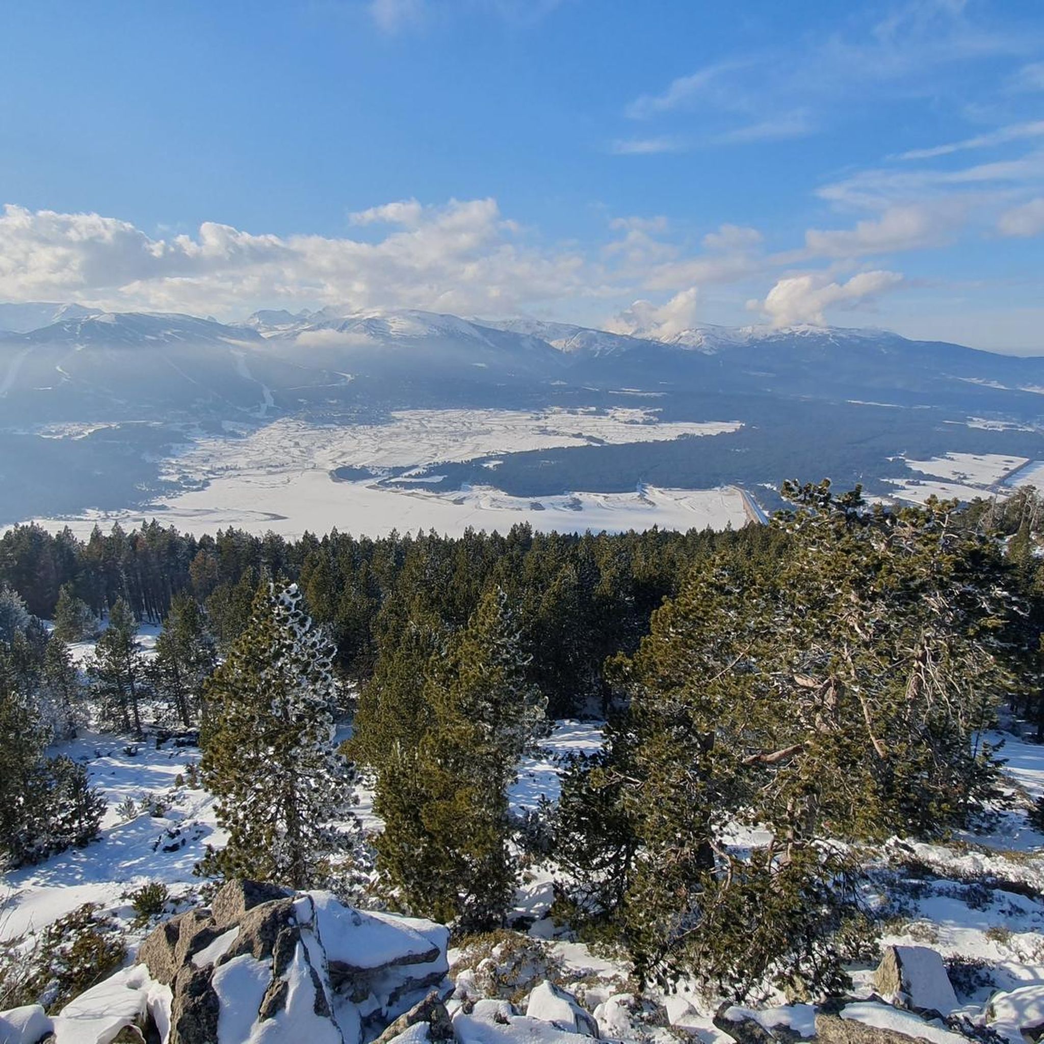
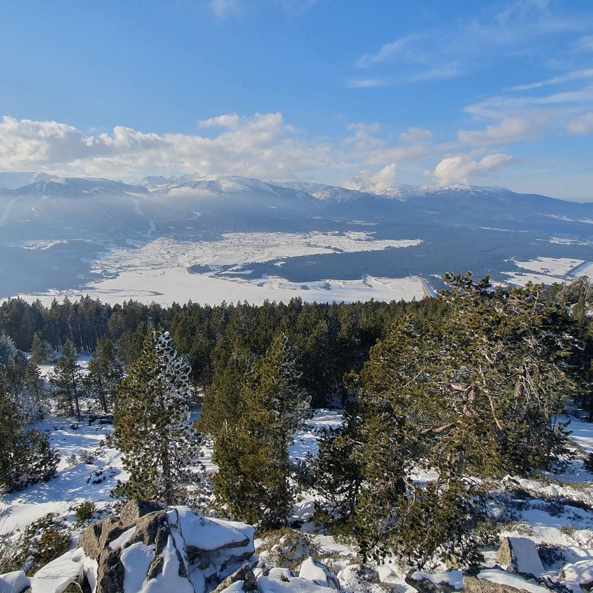
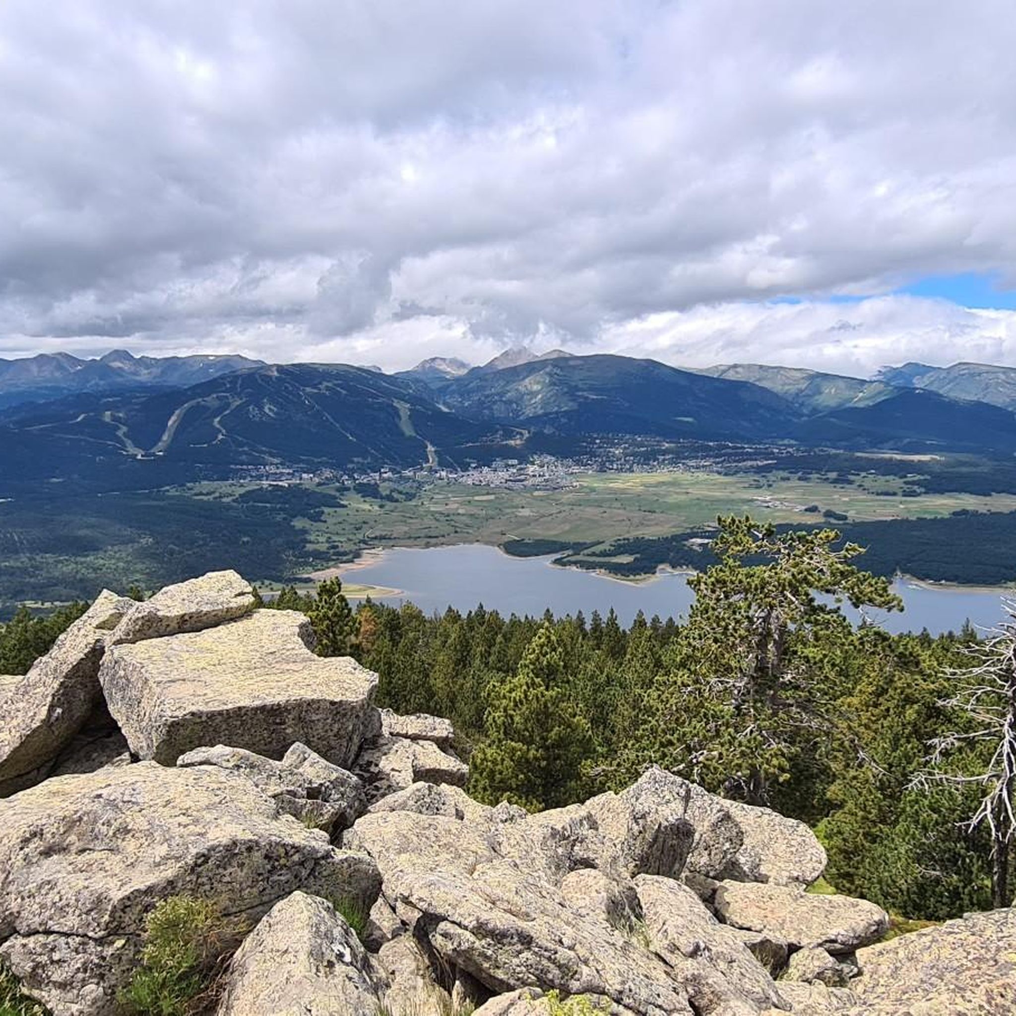
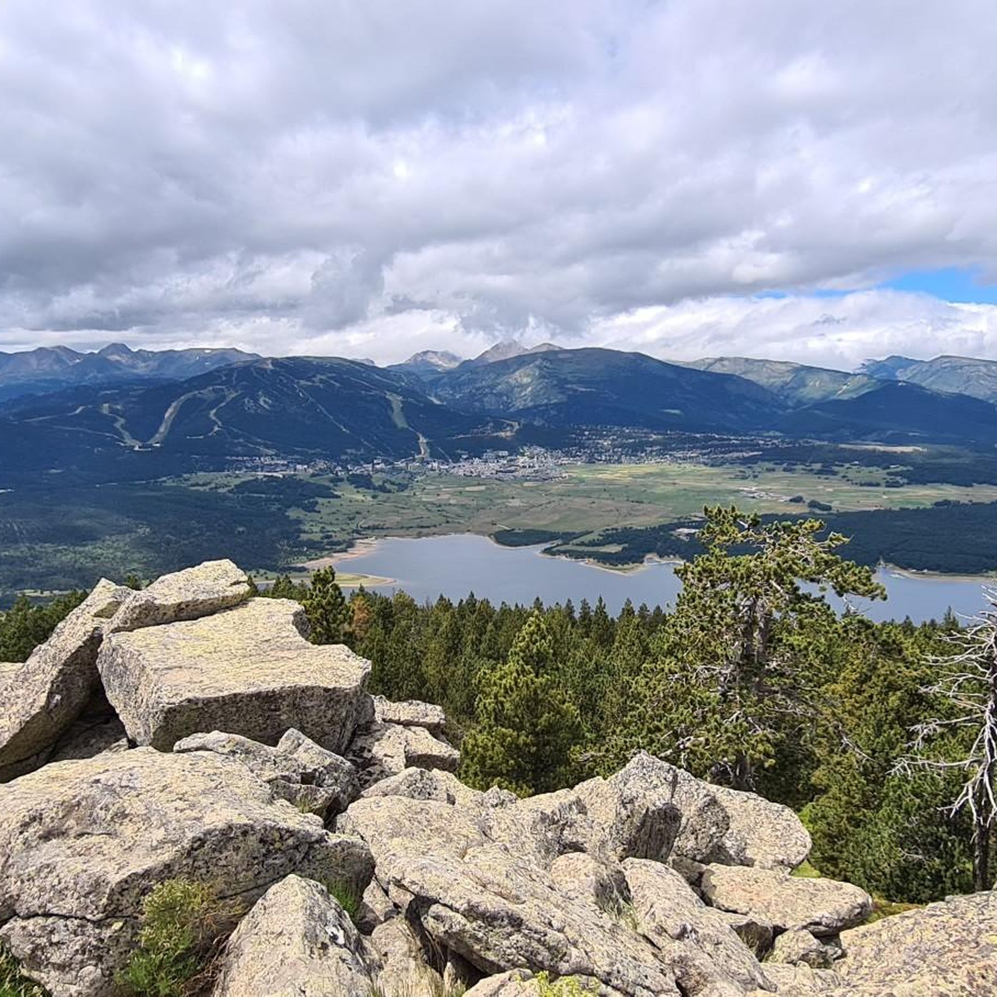
Going up the village to the antennas allows you to have a breathtaking view of the upper Têt valley. The eastern end of the Perche plateau, which carries Mont-Louis, La Cabanasse, Saint-Pierre and Planès, is dissected by the Têt and its tributaries. The landscape changes radically in a few hundred meters, the valley steepening by 500m. This topographic break point in the profile of a watercourse is called a *knick point*. It marks the place where regressive erosion has reached today following the global uplift that the region has been undergoing for around 10 Ma.
2
0
The path leaving the village offers a last view of the Cerdan landscape and the Perche plateau before heading towards the mountainous landscapes of the Orri valley. This final glance is an opportunity to visualize the layout of the three generations of flattening: the Carlit and Campcardos plateaus, the Carlit ponds and the Perche and Quillane plateaus. We can also see the imprint that the ice has left on the landscape. The tongue of ice which descended the Têt valley barely 25,000 years ago tore up, transported and deposited approximately 50 m of blocks which today form the magnificent frontal moraine of Mont-Louis and which is highlighted by the forest.
1
0
Beautiful point, but watch your head because of the rock points and where you put your feet. Here you can easily pass each other
20
0
Breathtaking gorge, great parking 5 euros, just follow komoot for the most beautiful route, fear of heights? Do not look into the depths, but especially where you put your feet. If you are Dutch tall, then also pay attention to the rocky points at head height. What a great trip😀
22
0

When the path joins the river and next to a small dam, we connect with the path that comes from the ledge. Here begins the most exciting part of the excursion! Ahead of us are ten bridges, numbered in yellow paint, as well as walkways built with metal panels from which we see the river slide between the rocks beneath our feet. All steps are aerial but well secured with cables and railings. Of course: we have to pay special attention if we go with children. This area, in addition to being a real adventure, is ideal for contemplating the small waterfalls from the front row and listening to the murmurs of the river. Here you can enjoy the grandeur of an overflowing nature… After the bridge marked with a 10, the path widens and we pass over a small stone bridge that crosses the Roig stream, a tributary of the Tet river. We pass a stone hut without a roof and arrive at the last footbridge, located at a point where the river is enclosed by a rock wall. At this point, most walkers turn around and those who continue do so thinking of reaching the refuge of the Ras de Carançà, still far away. The last time I did this stretch (see excursion: https://www.komoot.com/es-es/tour/994475321/ ) it was just the other way around, coming from the refuge of Ras de Carançà.
1
0
カウディエス・ドゥ・コンフランでのの人気観光スポット

komootモバイルアプリでインスピレーションを得よう


さらに探索
この地域で全てを発見しましたか?次の冒険のために追加の渓谷を見てみましょうカウディエス・ドゥ・コンフランでの:
