ウェフェルヘムの湖・トップ13
Wevelgem周辺の最高の湖は、その近郊にあり、アウトドアアクティビティ向けの多様な自然エリアと水域を提供しています。レイエ川沿いに位置するこの地域は、生物多様性を高めるために自然再生が進められている歴史的な氾濫原が特徴です。これらのエリアは、自然鑑賞、ウォーキング、そして生態系の発展を観察する機会を提供します。Wevelgem近郊のいくつかの州立ドメインと自然保護区は、重要な水域とレクリエーション施設を提供しています。
Wevelgem周辺の最高の湖
- 最も人気のある湖は、砂の採掘によって作られた大きな湖がある人気のレクリエーションエリアであるプロヴィンシャルドメイン・デ・ガヴァースの湖です。水泳、ウォータースポーツ、ウォーキングなど、幅広いアクティビティを提供しています。
- もう一つの必見スポットは、水辺のある森、スタッドグルーン・マリオン・ザ・ドラゴンフライです。この生態系レクリエーション自然エリアは、リラクゼーションとアウトドアを楽しむための森林の端、水辺、そして開けた空間を提供しています。
- 訪問者は、約2ヘクタールの池がある自然保護区として管理されている古い砂採掘場、デ・ザヴェルプト自然保護区も気に入っています。観察小屋から散策やバードウォッチングをするのに最適な場所です。
- Wevelgemは、州立ドメインの湖、自然保護区の池、そして水バッファー盆地で知られています。これらの水域は、静かな自然観察からアクティブなウォータースポーツまで、さまざまな体験を提供します。
- Wevelgem周辺の湖は、148件の「いいね!」とハイライト全体で共有された62枚の写真があり、komootコミュニティに高く評価されています。
最終更新日: 8月 27, 2026
ベルゲレン州立公園
ハイライト • 自然
In 1996, the farm and the 29 hectares of surrounding agricultural land were purchased by the province, and large parts of the newly acquired area were afforested.
In 1999, the province entered into a lease with the municipality for the management of the Bergelen pit and its surroundings. This created the Bergelen Provincial Estate, which currently covers an area of 47 hectares. The Heulebeek stream flows along and through the estate, still following a largely natural course there.
You'll also find the Bulskamphoeve, first mentioned in Gullegem in 1549. It's a historic farmstead whose horseshoe-shaped buildings are situated within the ramparts. The farmstead was destroyed several times during wartime and subsequently rebuilt or renovated. The current building is believed to date from 1775.
A protected monument, the Meiboom, also stands in the area. This is a group of six lime trees with a large iron cross in the center.
Source: wevelgem.be
翻訳者 Google •
役立つ情報 は

Stadsgroen Marionetten
ハイライト • 森
Source Kortrijk.be
翻訳者 Google •
役立つ情報 は

今すぐサインアップして、こんな場所を発見しよう
最高のシングルトラック、ピーク、その他のエキサイティングなアウトドアスポットのおすすめを受け取ろう。
無料新規登録
Bissegem Plage
ハイライト • 自然
In a large part of the site, children can romp and play freely. This is also possible in the smallest buffer basin. (info City of Kortrijk)
翻訳者 Google •
役立つ情報 は

Provinciedomein De Gaversの湖
ハイライト • 湖
翻訳者 Google •
役立つ情報 は

De Zavelput自然保護区
ハイライト • 自然
In 2024, the area was expanded on the north side: a forest was planted on a strip along the Leie, between the actual zavelput and the Vlasbrug.
Source: toerisme-leiestreek.be
翻訳者 Google •
役立つ情報 は
無料でサインアップして、さらに多くの湖を発見しましょう ウェフェルヘムでの。
無料新規登録
すでにアカウントをお持ちですか?
無料アカウントで今日から始めよう
次の冒険が待っています。
ログインまたは登録
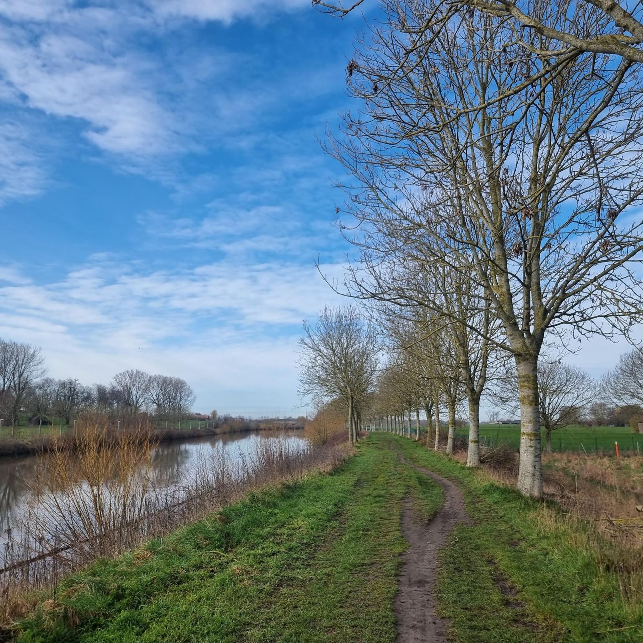

コミュニティからのヒント


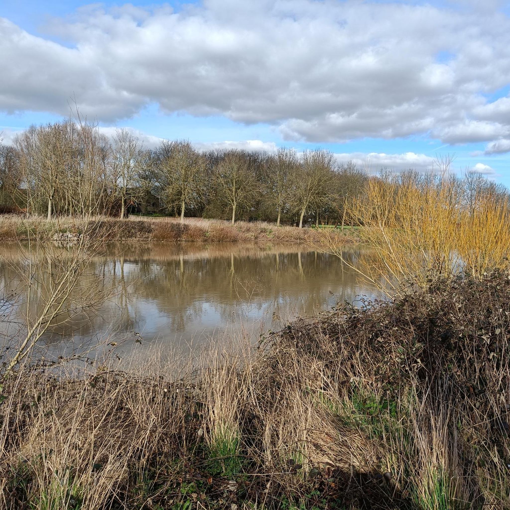
86ヘクタールの広大なこの地域全体は、コルトレイク市が所有・管理しています。コルトレイクで最も高い場所に位置しています。マリヨネッテンの都市緑地自体は57ヘクタールです。 この自然保護区は、1950年代に茶色と青色の粘土の採掘許可を得た nv Dakpannenfabriek Pottelberg の旧敷地に、1996年から開発されました。粘土採掘が停止した後、穴は廃棄物で埋められました。1996年に穴は覆われ、その後、自然保護区として整備されました。埋められていない粘土の穴が池となっています。 2008年からは、この地域がマリヨネッテンの都市緑地の中央部分を形成しています。Canaertstraat と Bosstraat の間に位置します。地域全体(86ヘクタール)について、RUP が作成され、段階的に実施され2004年に完了した整備計画が策定されました。 現在、マリヨネッテンの都市緑地はまだ完全に取得されておらず、一部はまだ購入する必要があるか、農業賃借権が残っています。 この土地の過去の経緯により、現在では高低差が生じています。最も高い場所には、この地域、動植物に関する情報が収められた大きな「Libel」があります。池の側には階段が設けられています。 出典: natuurpunt.be
2
0
The Bergelen Provincial Estate in Wevelgem developed around a 10-hectare artificial sand extraction pit. The sand was used for the construction of the E403 (A17) motorway in the early 1970s. The municipality purchased this pit and surrounding land between 1989 and 1995. Various planting activities and numerous management works (reprofiling the banks, creating a water berm, building observation huts and walls, creating walking paths, constructing a bat shelter, digging ponds, etc.) were carried out by the municipal council. This created a small but very interesting nature reserve. In 1996, the farm and the 29 hectares of surrounding agricultural land were purchased by the province, and large parts of the newly acquired area were afforested. In 1999, the province entered into a lease with the municipality for the management of the Bergelen pit and its surroundings. This created the Bergelen Provincial Estate, which currently covers an area of 47 hectares. The Heulebeek stream flows along and through the estate, still following a largely natural course there. You'll also find the Bulskamphoeve, first mentioned in Gullegem in 1549. It's a historic farmstead whose horseshoe-shaped buildings are situated within the ramparts. The farmstead was destroyed several times during wartime and subsequently rebuilt or renovated. The current building is believed to date from 1775. A protected monument, the Meiboom, also stands in the area. This is a group of six lime trees with a large iron cross in the center. Source: wevelgem.be
4
0

With the realisation of Bissegem Plage, Bissegem will gain an attractive and peaceful location. It will be a beautiful piece of nature of almost 10,000m² (1ha) that will be permanently free from construction. In this way, we will preserve the unique green character along the Leie. This will undoubtedly become one of the most beautiful parts of Bissegem. In this zone, we will set up a water buffer basin. We will collect all the rainwater from the Driekerkenstraat here. It concerns two buffer basins, one of which overflows into the other. They are a maximum of half a metre deep. The largest of the two will never be dry. A jetty (wooden terrace) will partly bridge this basin. Here, everyone can enjoy the peaceful atmosphere and the passage of large boats. We provide a connection with the cemetery. In a large part of the site, children can romp and play freely. This is also possible in the smallest buffer basin. (info City of Kortrijk)
2
0
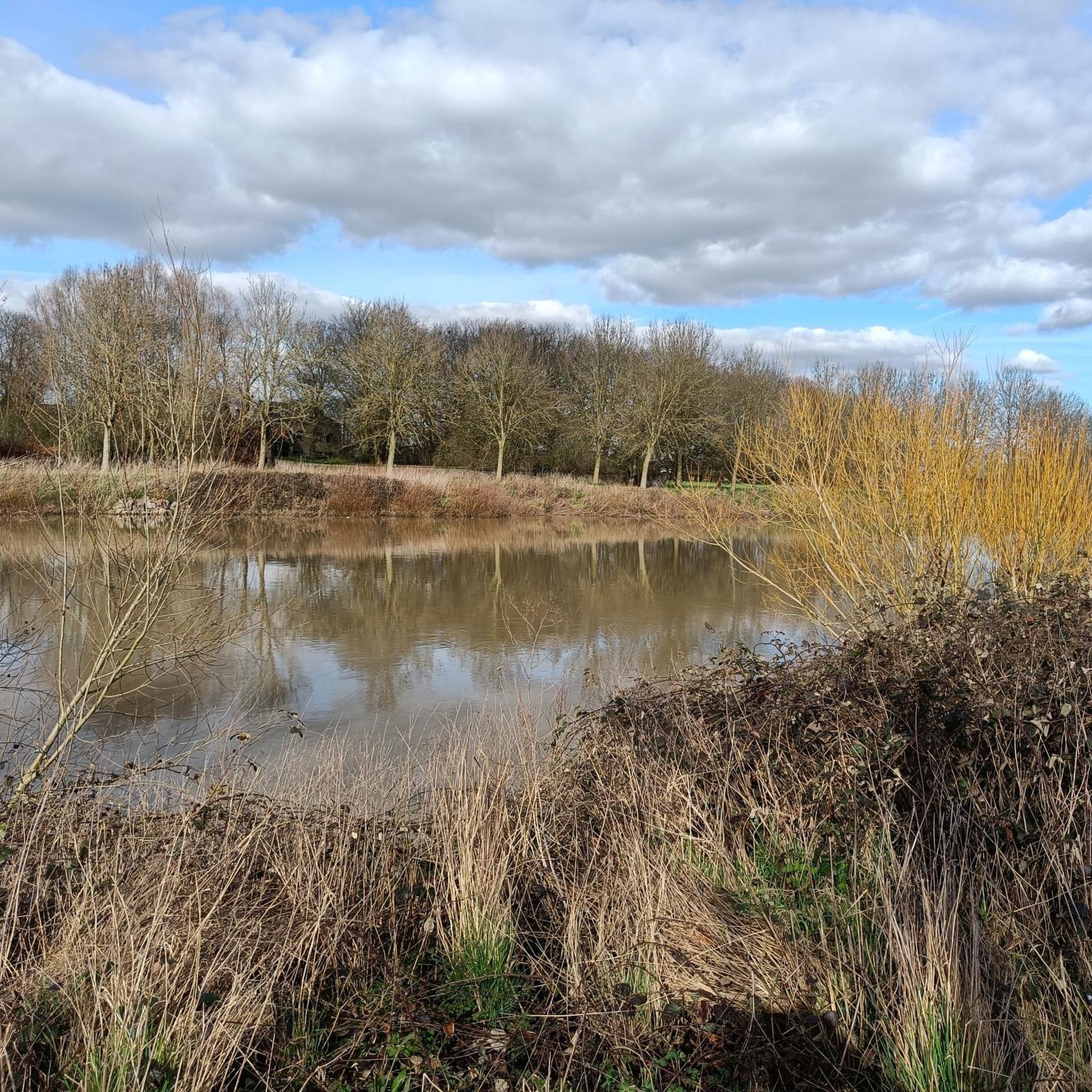
The Zavelput is an old sand quarry that is now managed as a nature reserve. After the exploitation, the pit filled with water and a rich ecosystem was created. The site is 5.2 hectares in size, the pond itself about two hectares. You can go for a walk and observe birds from the observation hut. Nearby you will find the Goed te Beaulieu, a historic farm that dates back to the Frankish period. Behind the farm runs the Leie - it is very nice to walk along the banks. In 2024, the area was expanded on the north side: a forest was planted on a strip along the Leie, between the actual zavelput and the Vlasbrug. Source: https://www.toerisme-leiestreek.be/
5
0

The provincial domain De Gavers in Harelbeke and Deerlijk covers 192 hectares and is a popular recreational area with a large lake, created by sand extraction in the 1960s. The domain offers a wide range of activities: swimming, water sports, walking, cycling and an adventure park. In addition, there is a nature reserve where birds hibernate and a flower-rich area managed by Natuurpunt. The domain attracts around 800,000 visitors annually, who enjoy both the natural environment and the extensive recreational facilities.
3
0

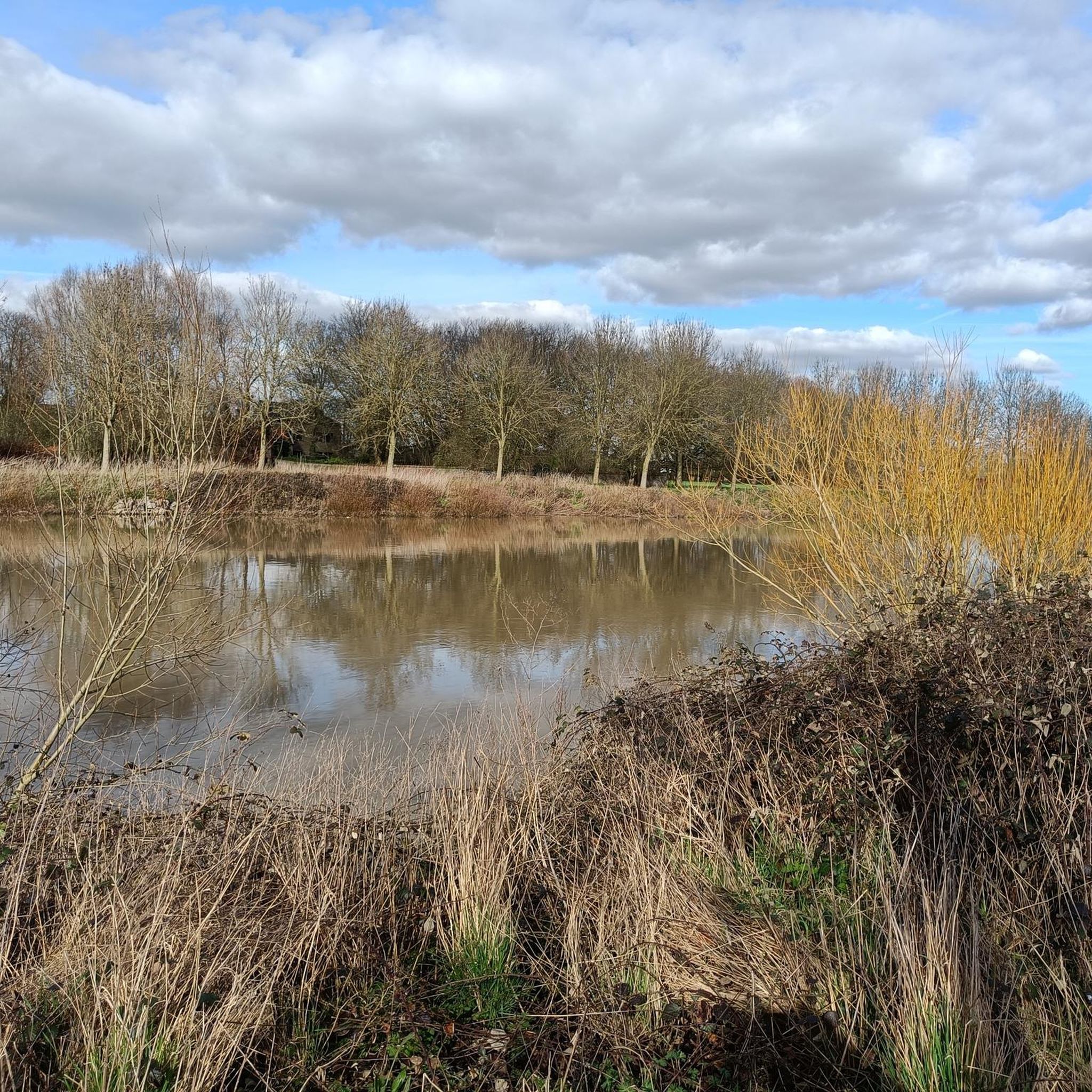
Children can also wade in the water here and walk on the planks
0
1
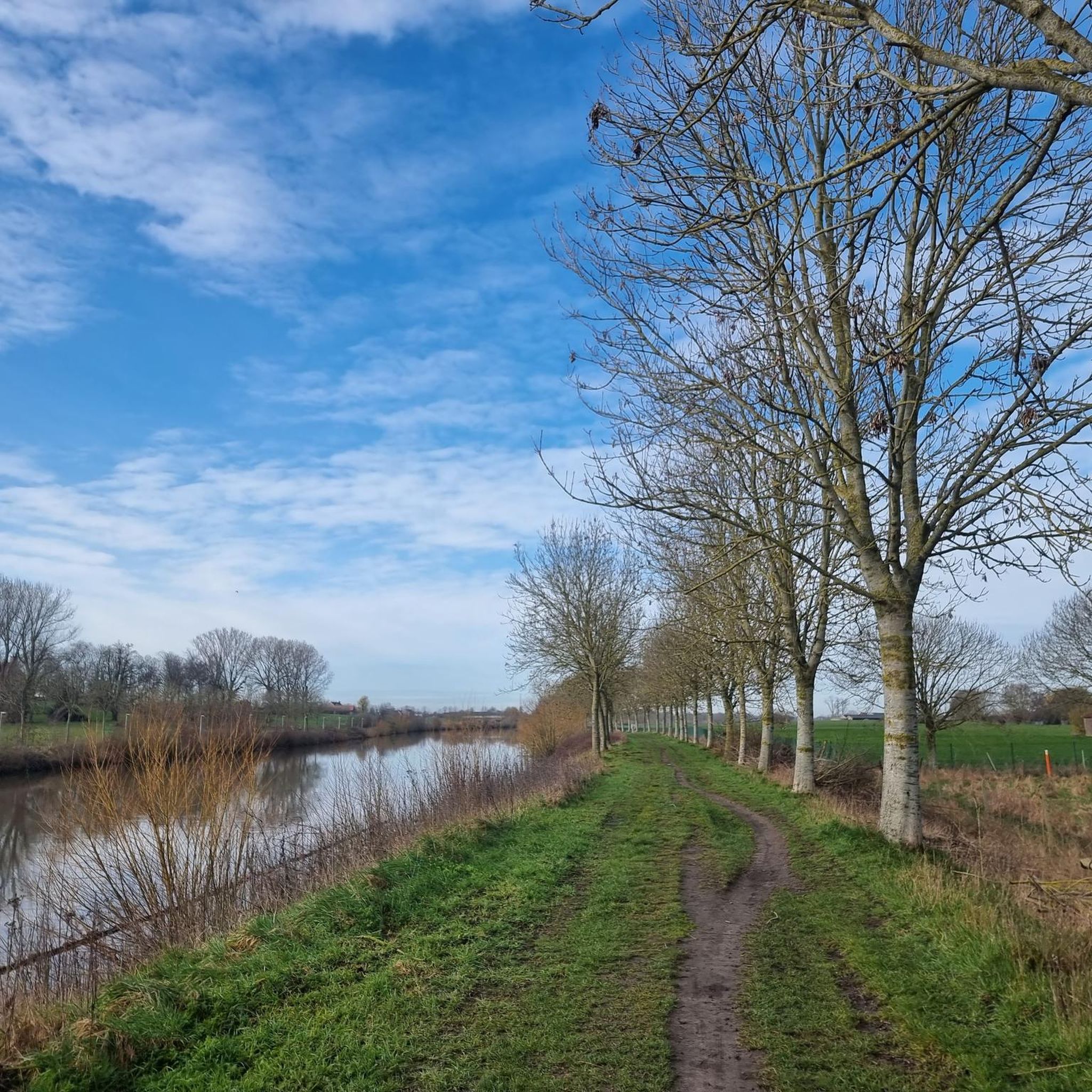
Very nice to walk around the quiet lake, well-maintained path.
0
1
ウェフェルヘムでのの人気観光スポット

komootモバイルアプリでインスピレーションを得よう


さらに探索
まだ完璧な湖が見つかりませんかウェフェルヘムでの?これらの地域のガイドをチェックして、さらに美しい場所を見てみましょう。
