リア・デ・オルティゲイラEラドリドのおすすめツーリングルート
4.8
(13)
211
ライダー
28
ライド
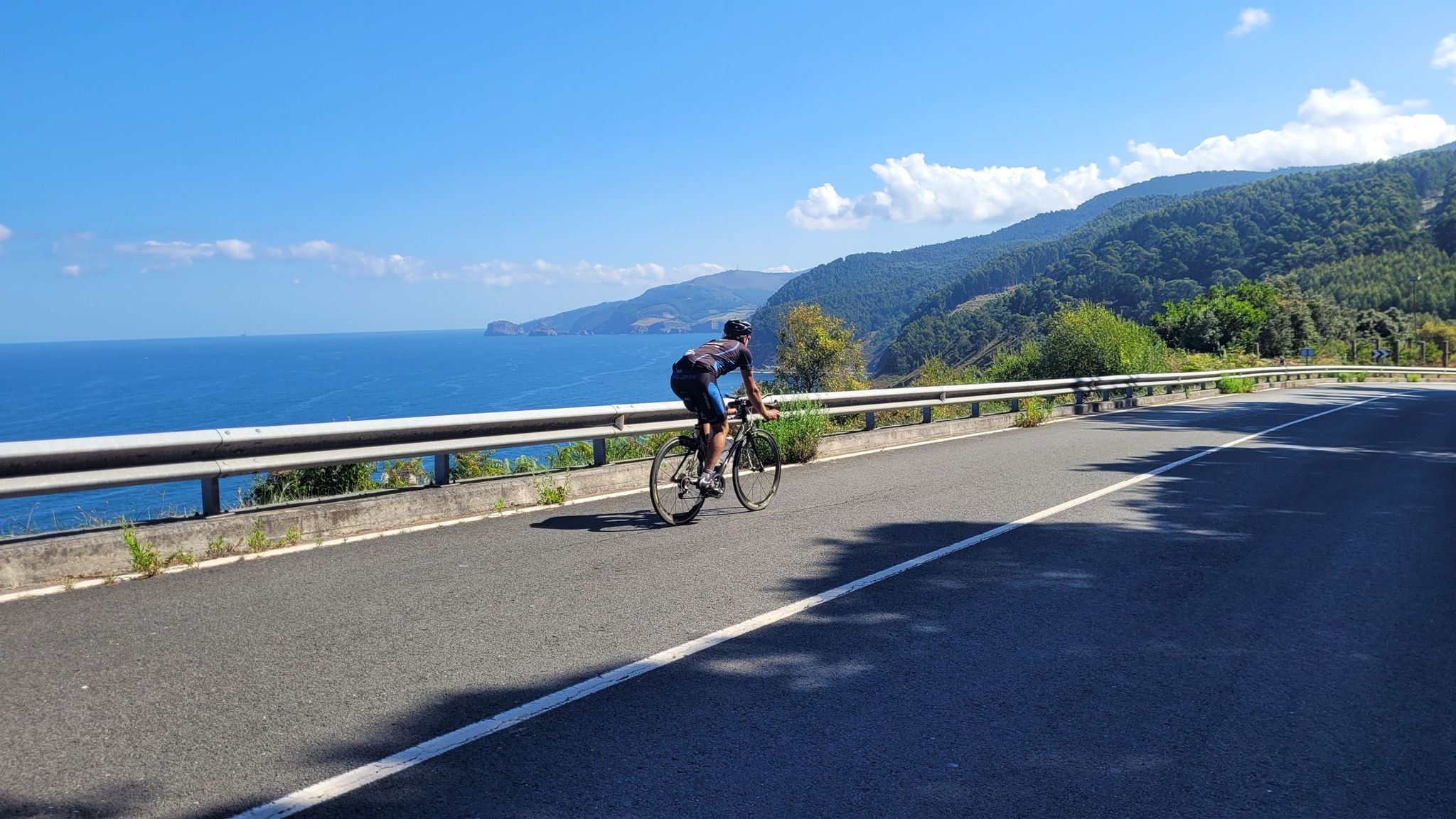
リア・デ・オルティゲイラEラドリド周辺で人気のサイクリングルートを走り、この自然公園の魅力を思いっきり満喫したい。そんなあなたのためにkomootおすすめのルートをまとめました。 ページを下にスクロールして、リア・デ・オルティゲイラEラドリド周辺でのバイクライドルートから気に入ったルートを選び、さっそく冒険に出かけましょう。
最終更新日: 11月 2, 2026
5.0
(1)
25
ライダー
50.8km
03:15
610m
610m
難しい自転車ライド. 標準以上のフィットネスレベルが必要です。 ほとんどが舗装路です。
5.0
(2)
23
ライダー
47.5km
04:06
1,120m
1,120m
難しい自転車ライド. 標準以上のフィットネスレベルが必要です。 ツアーの一部で自転車を押して歩く必要があるかもしれません。

13
ライダー
31.1km
02:48
690m
690m
難しい自転車ライド. 標準以上のフィットネスレベルが必要です。 ほとんどが舗装路です。
5.0
(2)
23
ライダー
70.4km
05:26
1,660m
1,660m
難しい自転車ライド. 標準以上のフィットネスレベルが必要です。 ほとんどが舗装路です。
9
ライダー
47.9km
03:50
1,030m
1,030m
難しい自転車ライド. 標準以上のフィットネスレベルが必要です。 ほとんどが舗装路です。
さらに多くのルートや他のユーザーのおすすめ情報を確認できます。
すでにアカウントをお持ちですか?
おすすめのツアーは他のkomootユーザーが実際に経験した何千ものアクティビティに基づいています。
無料アカウントで今日から始めよう
次の冒険が待っています。


リア・デ・オルティゲイラEラドリドでのの他の冒険

コミュニティからのヒント

Located in the impressive A Capelada mountain range, between the picturesque Galician municipalities of Cariño and Cedeira, the Vixía Herbeira cliffs are a true natural treasure. At 613 meters high, they are the highest point above sea level in continental Europe, offering spectacular views that take your breath away. Furthermore, these majestic cliffs are ranked fourth in the ranking of highest cliffs in Europe. A unique spot where nature and the Atlantic come together in an unforgettable picture, perfect for lovers of landscape and adventure.
0
0


The Cantabrian Route does not go up to Cabo de la Estaca de Bares, the milestones continue directly towards the Esteiro estuary, another hidden gem in the repertoire of dune beaches on the Galician Cantabrian coast. The Camino crosses the sandy beaches of the estuary via a wooden walkway, passes by the O Picón tower and reaches the “most beautiful bench in the world”, placed on a natural balcony on the coast at the entrance to the Ortigueira estuary, between the Estaca de Bares and Cape Ortegal. The viewpoint is not only landscape, it combines the sound of the waves, the contemplation of the movement of the waves fifty meters high, the coastal islets, the coastal wall melted in the mist of foam that floats in the air after colliding with the rocks, light, colors, it is a place with a special magic, especially when the weather allows you to enjoy a good sunset. The Nature Trail ends shortly after, passing through Espasante beach and closing the route at the viewpoint where the Santa Eulalia de Ladrid church is located, in the environmental environment of the protected natural space of the Ortigueira-Ladrid estuary, included in the Network Natura as a Special Protection Area for Birds. The return to Viveiro is along the same path, instead of returning through Os Castros, you can go around Monte da Croa to the east towards O Porto do Espasante and travel through the seductive coastal landscapes again until the end of the long day of cycling in Viveiro.
0
0

This spectacular recreational area is located at about 360 meters above sea level and offers wonderful views of the coast and the sanctuary of San Andrés de Teixido in the distance.
1
2

The Cape Ortegal Lighthouse as an infrastructure is not entirely impressive and this must be said. It is a simple cylindrical tower about 13 meters high made of concrete, with a red stripe that stands out, and which was built from 1984 by engineer Jaime Arrandiaga.
6
0

This section of the path runs along a wooden footbridge exclusively for pedestrians and cyclists. The path is perfectly marked along the entire route.
0
0

One of the most impressive points of the Camino del Mar Rías Altas route in Galicia. Relatively new, this lighthouse was built on the tip of Cabo Ortega in the 1980s. The hike to this point offers spectacular views of the Atlantic Ocean and the rugged rocky coastline.
2
0
リア・デ・オルティゲイラEラドリドでのの人気ルート

komootモバイルアプリでインスピレーションを得よう


さらに探索
他の地域の最高のサイクリングルートを見てみましょう。
