コラシンのおすすめツーリングルート
4.5
(2)
44
ライダー
3
ライド
コラシンでサイクリングを楽しめば、モンテネグロのこのエリアをより深く知ることができます。あなたにぴったりのコラシンでのバイクライドが見つかるように、komootがサイクリングルートのコレクション全体を評価して選び抜いたルートをご紹介します。以下のルートをクリックして標高データや舗装状態の分析などの細かな情報を把握し、さらにkomootコミュニティのメンバーがアップロードした役立つ情報や写真も閲覧しましょう。
最終更新日: 8月 24, 2026
13
ライダー
57.3km
05:07
1,440m
1,440m
難しい自転車ライド. 標準以上のフィットネスレベルが必要です。 全般的に舗装された状態です。あらゆるスキルレベルに適しています。
20
ライダー
30.6km
02:52
810m
810m
難しい自転車ライド. 標準以上のフィットネスレベルが必要です。 全般的に舗装された状態です。あらゆるスキルレベルに適しています。

無料新規登録
4.5
(2)
11
ライダー
10.4km
01:08
360m
360m
中程度の自転車ライド. ある程度のフィットネスレベルが必要です。 全般的に舗装された状態です。あらゆるスキルレベルに適しています。
おすすめのツアーは他のkomootユーザーが実際に経験した何千ものアクティビティに基づいています。
無料アカウントで今日から始めよう
次の冒険が待っています。
ログインまたは登録
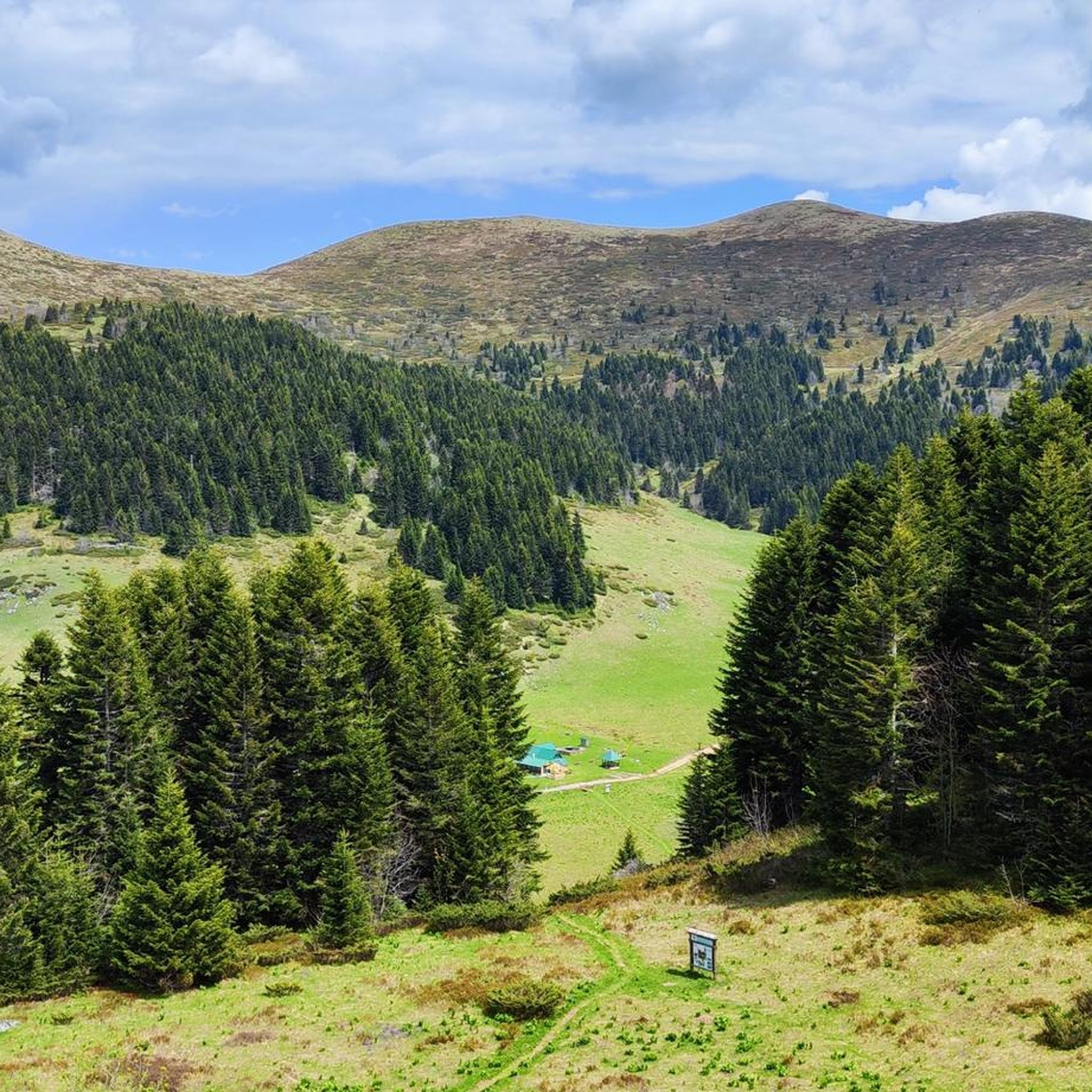
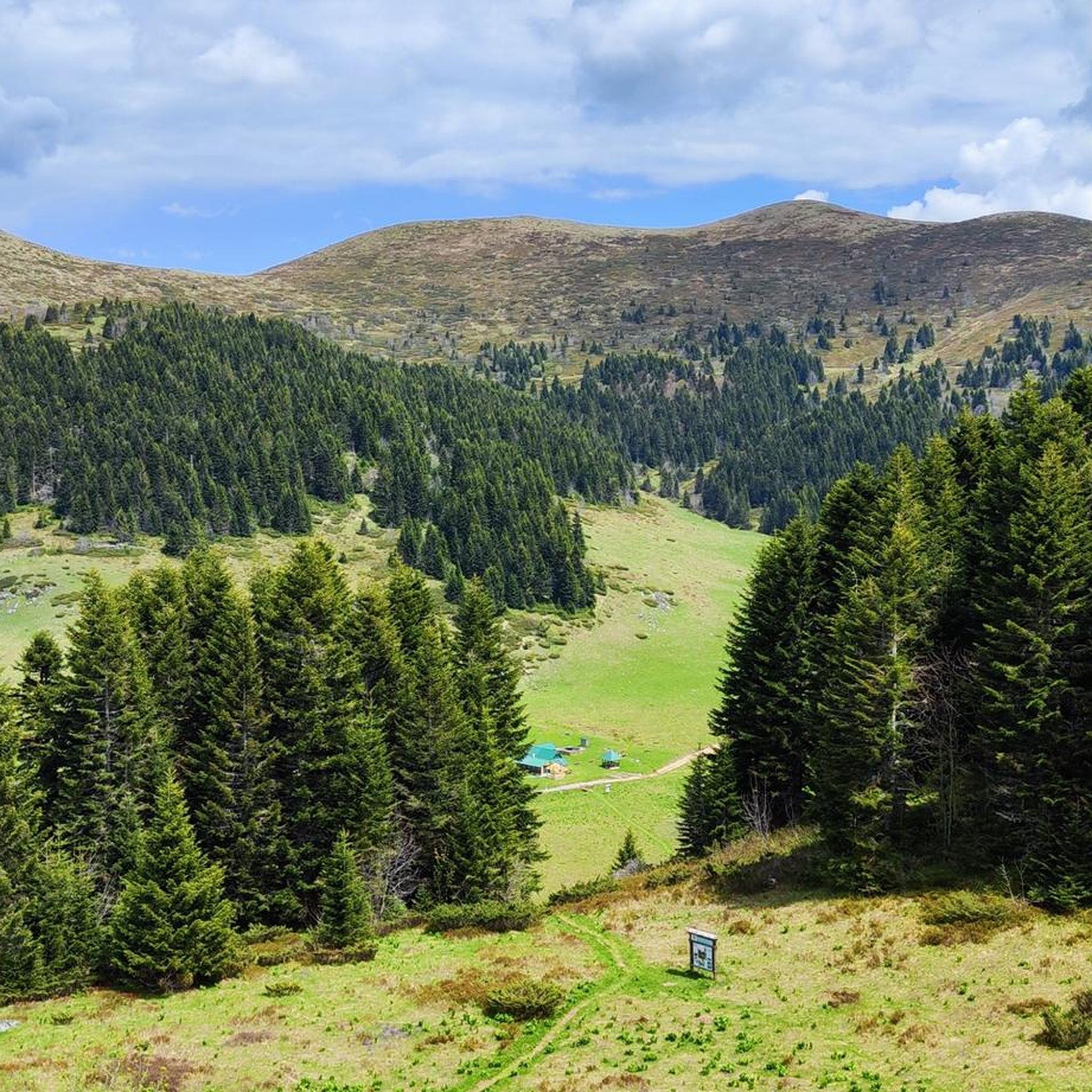
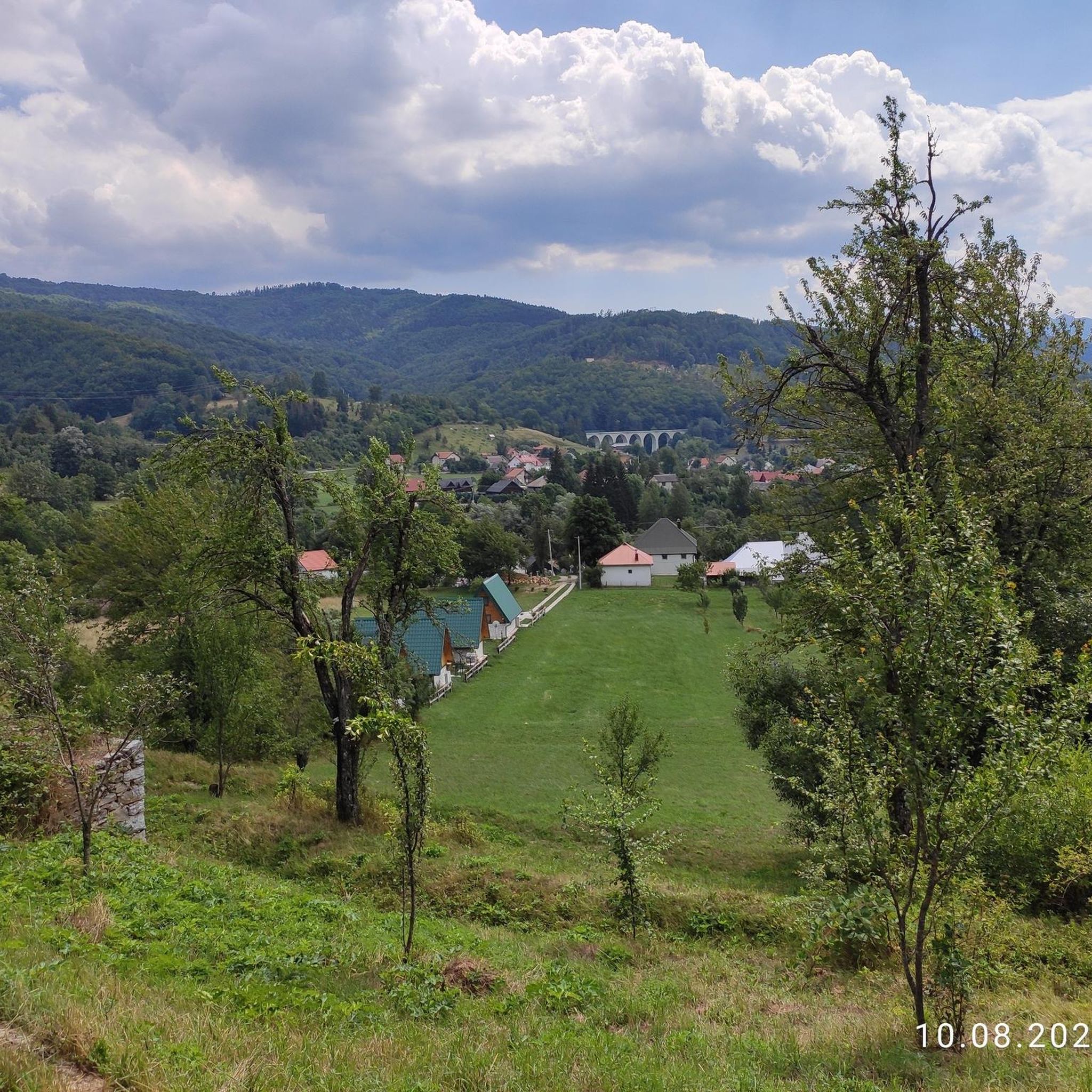

コミュニティからのヒント

good cycling serpentines with a nice reward on top
0
0

from the stand there: Bjelasica mountain and Biogradska gora National Park represent a unique geo-morphological entity located in the central part of Montenegro. As a result of intense glacial activity, a variety of geomorphological forms have developed in this area, starting from river valleys to the highest mountain peaks. Bjelasica mountain is rich in springs, surface streams and lakes. There are several lakes in Bjelasica: Biogradsko, Pešića, Ursulovačka (Big and Small) and Šiška (Big and Small). Biogradska River is the main tributary of Lake Biogradsko, the largest lake in the territory of the Biogradska gora National Park. Biogradska River originates from many sources and from the joining of two bayous that form under the peaks of Troglava (2072 m.a.s.l.) and Zekova glava (2017 m.a.s.l.). Lalov stream flows into Lake Biogradsko from the northeast, its sources are below the slopes of Askova glava. Biogradska River and Lalov stream are the two main streams that flow into the lake from Bjelasica mountain. The length of Biogradska River is 8 km. The highest water level is reached in the spring when the snow melts from the peaks of Bjelasica. It flows into Lake Biogradsko in several branches, forming a delta at the mouth of Lake Biogradsko. Biogradska River delta is characterized by lush vegetation of woody and herbaceous plants. It is interesting that the water of the river is extremely clear and drinkable in all weather periods and that the height difference between the source of the Biogradska River and the mouth of the Jezerštica River in Tara River is 1286 m.
0
0
from the stand there: A natural phenomenon called the "Kamena rijeka" ("Stone River"- broken rock, remnant of a glacier), a scarp several hundred meters long, which stretches. down the slope below the peak of Troglava (2072 m.a.s.l.). Namely, the enchanting natural phenomenon known as the "Kamena rijeka" testifies to the incredible journey of an ancient glacier through this area. These stones, which resemble broken ice, are actually the remains of a power-ful glacier that once descended down the slope from the top of peak Troglava, 2072 meters above sea level. That glacier, with its weight and power, shaped the surrounding landscape over time, creating characteristic shapes and leaving behind traces of its era. As the glacier moved down the slope, its powerful force broke the rocks and created the unusual stones that we call the "Kamena rijeka" today. This natural phenomenon is actually a reminder of previous eras and extreme changes that shaped this region. And it was this force of nature, which can be visible through the "Kamena rijeka", that played a key role in the creation of Lake Biogradsko. The glacier moved down the slope, opening a space that eventually filled with water and became a lake. This process of shaping the lake has been going on for centuries, and the result is an incredibly magical natural gem that we call Lake Biogradsko today. By observing "Kamena rijeka" and knowing its story, visitors can peer into the distant past and feel a deep connection with the forces that shaped these beautiful mountain regions. This story reminds us of the strength and durability of nature and inspires us to continue to preserve it and admire its wonders.
0
0

Gorgeous gravel climb / descent, surface in really ok conditions, surprisingly smooth for the area.
1
0


The highest station on the route is Kolašin – a well-known climatic health resort and a popular winter sports center in Montenegro
5
0
The train now winds its way along the Morača River, gaining more and more altitude: from 3 m above sea level in Bar to 1030 m above sea level in Kolašin
5
0
コラシンでのの人気観光スポット

komootモバイルアプリでインスピレーションを得よう


さらに探索
他の地域の最高のサイクリングルートを見てみましょう。
