ビジャビビオサデコルドバでののおすすめグラベルライド
5.0
(2)
47
ライダー
7
ライド
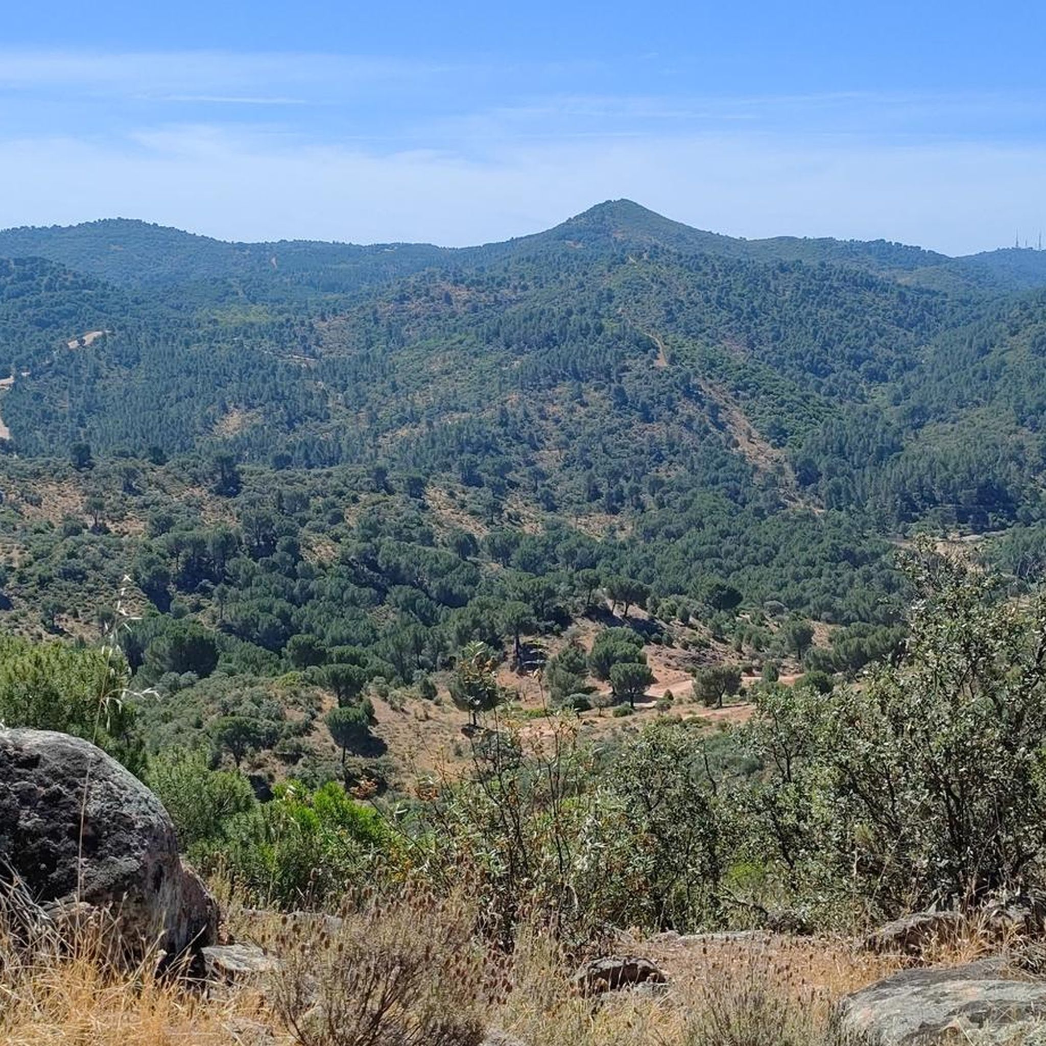
グラベルバイクでのビジャビシオーサ・デ・コルドバ周辺のサイクリングは、シエラ・モレナ山脈内で多様な地形を提供します。この地域は、起伏のある丘陵、鬱蒼とした地中海性森林、そしてかなりの標高変化が特徴で、サイクリストに変化に富んだルートを提供します。際立った自然の特徴には、景色の良いルートに組み込まれたプエンテ・ヌエボ貯水池や、日陰のある小道を提供する広大な森林地帯があります。この地域は、その自然生態系と多様な地形によって特徴づけられています。
ビジャビシオーサ・デ・コルドバ周辺の最高のグラベルバイクコース
- 最も人気のあるグラベルバイクコースは、サン・ロレンソ教会 – コルドバのモスク=カテドラル ループ(ディストリト・ノルテ・シエラ発)で、距離14.6マイル(23.5 km)、所要時間1時間44分です。この中程度の難易度のルートは、地元の風景を巡る変化に富んだ地形が特徴です。
- 地元のグラベルバイカーに人気のもう一つのコースは、ロス・ビジャレス・キャンプ場 – 象の噴水 ループ(プラサ・デル・セントロ・シビコ発)で、距離19.9マイル(32.1 km)の難易度の高いコースです。このルートにはかなりの標高上昇が含まれ、象の噴水のそばを通ります。
- 地元のグラベルバイカーに愛されているのは、アロヨ・ベハラノ – レベントン・クライム ループ(セロ・ムリアーノ発)で、距離58.9マイル(94.8 km)のコースです。変化に富んだ自然環境を通り抜け、所要時間は約7時間47分です。
- ビジャビシオーサ・デ・コルドバ周辺のグラベルバイクは、起伏のある丘陵、鬱蒼とした地中海性森林、そしてかなりの標高変化によって特徴づけられます。このネットワークは、中程度から高難易度まで、さまざまなスキルレベルのオプションを提供します。
- ビジャビシオーサ・デ・コルドバのルートは、komootコミュニティから高く評価されており、2件以上のレビューで平均5.0つ星を獲得しています。50人以上のグラベルバイカーがkomootを利用して、ビジャビシオーサ・デ・コルドバの多様な地形を探索しています。
最終更新日: 9月 4, 2026
13
ライダー
23.1km
01:43
350m
350m
中程度のグラベルライド. ある程度のフィットネスレベルが必要です。 全般的に舗装された状態です。あらゆるスキルレベルに適しています。
5
ライダー
95.6km
07:50
1,690m
1,690m
難しいグラベルライド. 標準以上のフィットネスレベルが必要です。 全般的に舗装された状態です。あらゆるスキルレベルに適しています。

無料新規登録
5.0
(2)
16
ライダー
48.7km
03:36
980m
980m
難しいグラベルライド. 標準以上のフィットネスレベルが必要です。 全般的に舗装された状態です。あらゆるスキルレベルに適しています。
4
ライダー
31.4km
02:15
570m
570m
難しいグラベルライド. 標準以上のフィットネスレベルが必要です。 全般的に舗装された状態です。あらゆるスキルレベルに適しています。
2
ライダー
26.4km
02:00
450m
450m
中程度のグラベルライド. ある程度のフィットネスレベルが必要です。 全般的に舗装された状態です。あらゆるスキルレベルに適しています。
さらに多くのルートや他のユーザーのおすすめ情報を確認できます。
無料新規登録
すでにアカウントをお持ちですか?
おすすめのツアーは他のkomootユーザーが実際に経験した何千ものアクティビティに基づいています。
無料アカウントで今日から始めよう
次の冒険が待っています。
ログインまたは登録
コミュニティからのヒント

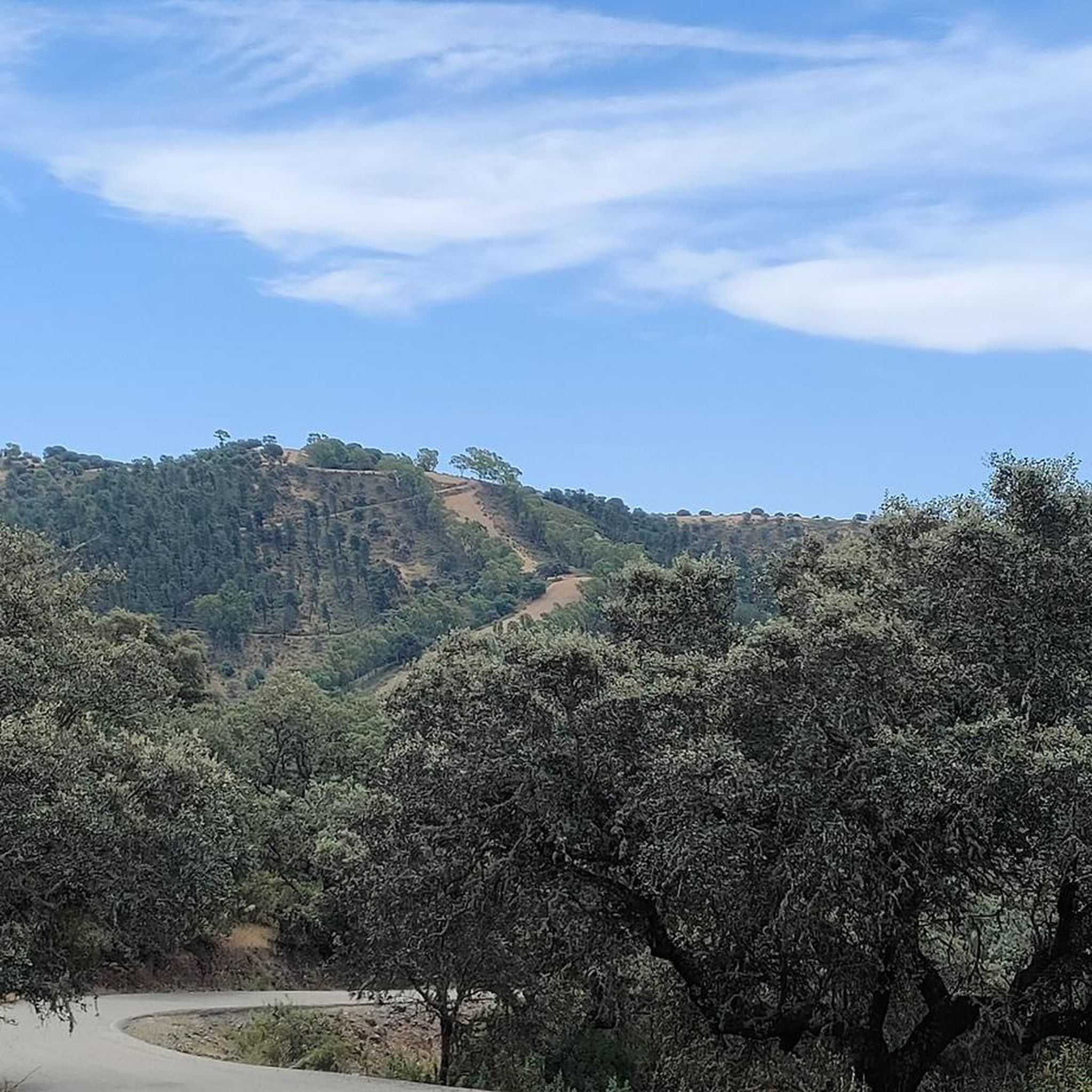
この小さな道は、コルドバ市のすぐ近く、シエラ・モレナの中心部にあります。アスファルトは美しいコルク樫の森を蛇行しており、サイクリングに最適です。その証拠に、ブエルタ・ア・エスパーニャは通常ここを通ります。
1
0

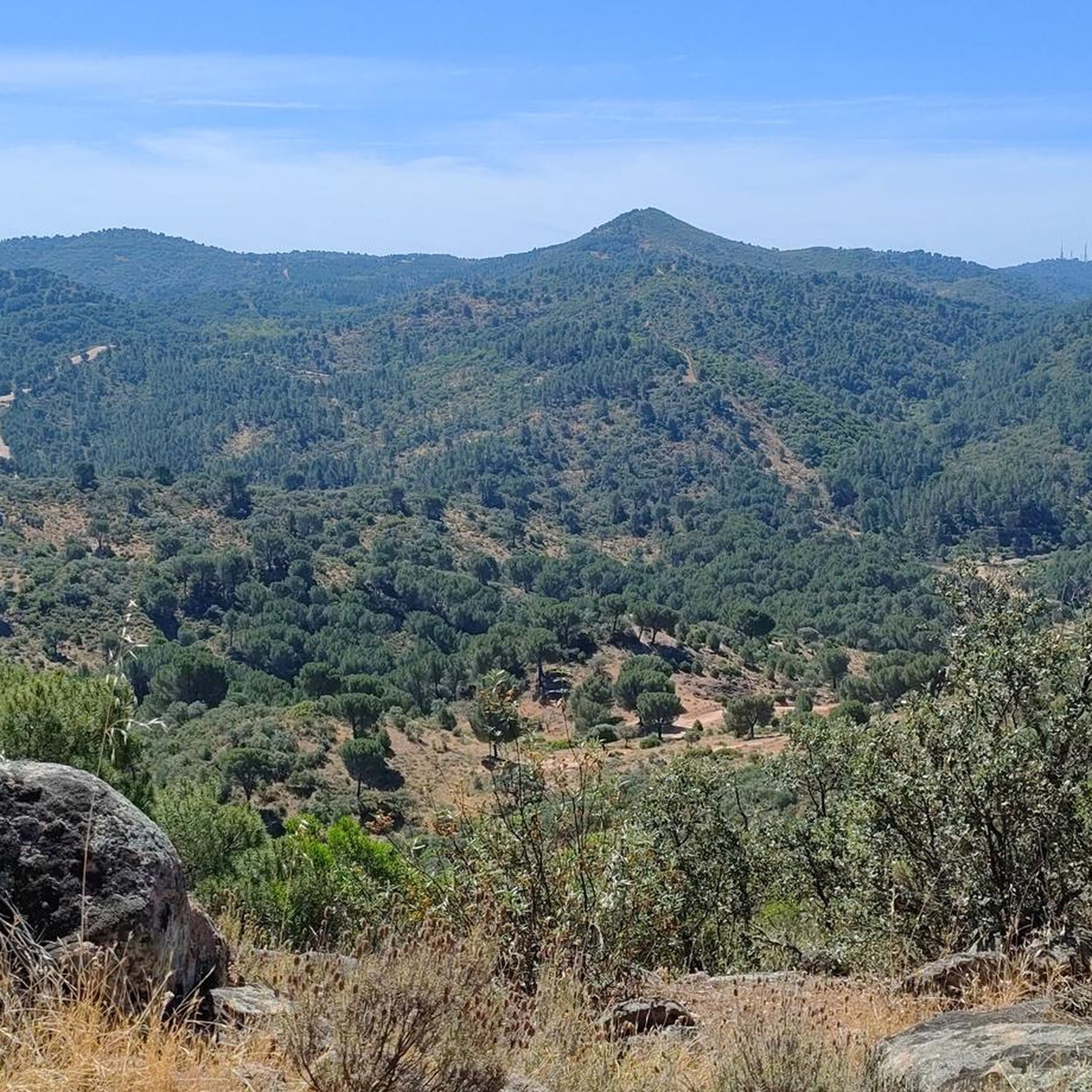
One of the most legendary climbs in the Sierra de Córdoba, well-known for both hiking and mountain biking. It's a tough, consistent climb, very popular with local cyclists and races like the Andalucía Bike Race and the Guzmán el Bueno (the latter often runs it in the opposite direction). The Cuesta del Reventón ascends towards the Ermitas de Córdoba, a classic panoramic viewpoint. It's a wide, rocky path with a steep incline, frequently used by cyclists and hikers. Approximate length: between 2.7 km (classic route) and 4.7 km depending on the mountain bike variant. Elevation gain: between 155 m and 486 m, depending on the route.
3
0

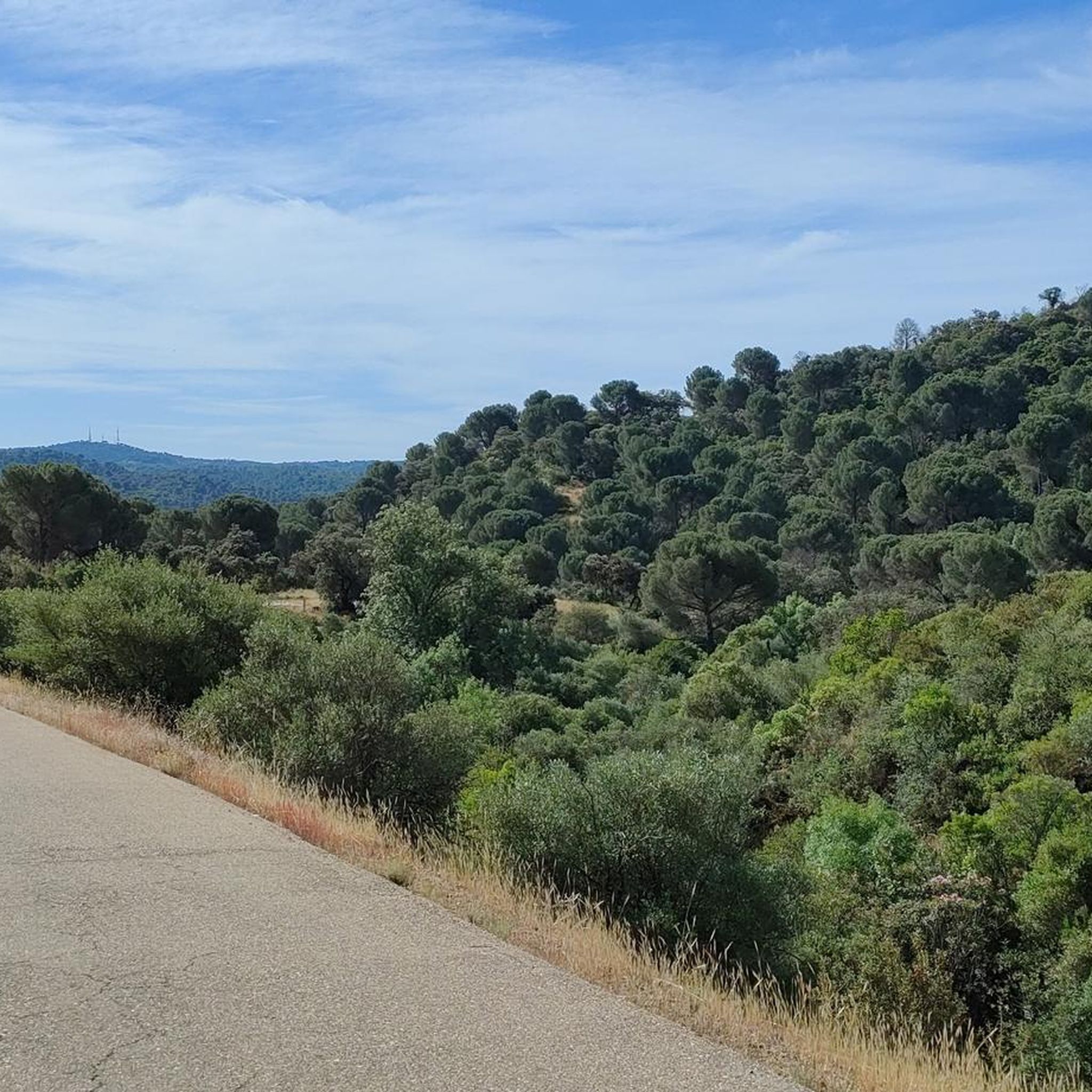
Circular route from Turruñuelos Park, Córdoba, passing through: - Torrehoria Viewpoint (19.5 km) - Torre del Beato (23.1 km) - Torre de las Siete Esquinas (24.5 km) - Bridge over the canal (29.5 km) The route begins along the Guadalmellato Canal, ascends through La Canchuela, Llanos de los Mesoneros, passes the El Cruce gas station, enters the "Fangor" forest, Torrehoria, Camino del Nuo Bajo, Torre del Beato, Torre de las Siete Esquinas, and from there descends to reach the start of the Trassierra Trail. Except for the descent from Siete Esquinas, the route, exceptionally beautiful given the recent rainfall in the mountains with runoff everywhere, follows paths without technical difficulty, making it even more appealing. It's a challenging distance but offers stunning views of the surrounding area and the city and its environs from the highest points.
0
0
The Church of San Pedro (now the Minor Basilica of San Pedro) is one of the oldest and most historic churches in Córdoba. It was built on the remains of a 4th-century basilica that housed the remains of the Cordoban martyrs Januarius, Martial, and Faustus. After the Christian conquest (1236), Ferdinand III ordered its construction between the 13th and 14th centuries, forming part of the Ferdinandine churches.
2
0
The Mosque-Cathedral of Córdoba is one of the most impressive monuments in the world, a symbol of Islamic art in the West and a UNESCO World Heritage Site since 1984. It was originally the Visigothic Basilica of San Vicente, shared by Christians and Muslims. In 784, Abd al-Rahman I began construction of the mosque, which was expanded by his successors: Abd al-Rahman II, Abd al-Rahman III, Al-Hakam II, and Almanzor. After the Christian Reconquista in 1236, it was consecrated as the Cathedral of the Assumption of Our Lady, and in 1523 a Renaissance basilica was built inside.
15
0


Located on the Caño Escaravita estate, just beyond the outlying neighborhood of Santa María de Trassierra. We found it in the western Sierra peri-urban district, next to the crossroads leading to the Ermitas and the Mirador de las Niñas, about fifteen kilometers from Córdoba. This is a zoomorphic water fountain on a pedestal from the Caliphate period, dating back to the 10th century. The sculpture represents a small elephant. Made of gray limestone from the Sierra Morena, it served as a support for the spout. The fountain is made up of three components: a water collection basin, a masonry pillar attached to it on its north side (which leads to a masonry irrigation ditch), and a rectangular pool located to the west of the canal. https://amedinacordoba.com/fuente-del-elefante/
1
0
A waterfall known as the "first spring of the Bejarano," whose water flow has always been active. There are few remains of an ancient structure from which the water flows: the aquifer catchment. The Romans knew how to harness this important spring, unique in these mountains, due to the large amount of water it provides every season (estimated at 20,000 to 35,000 m3/day). (Source: https://www.conocetusfuentes.com/ficha_detalle.php?id_fuente=10057)
1
0
よくある質問
ビジャビシオーサ・デ・コルドバには、どのくらいのグラベルバイクトレイルがありますか?
ビジャビシオーサ・デ・コルドバ周辺には、8つのグラベルバイクトレイルがあります。これらのルートは、中程度と難易度の高いオプションが混在しており、中程度が3つ、難易度が高いものが5つとなっており、様々なスキルレベルのサイクリストに多様な体験を提供します。
ビジャビシオーサ・デ・コルドバでのグラベルバイクに最適な時期はいつですか?
地中海性気候のビジャビシオーサ・デ・コルドバは、夏の最も暑い時期を除けば、一般的にグラベルバイクに適しています。春と秋は、より穏やかな気温と緑豊かな風景で最適な条件を提供します。冬も適していますが、一部のトレイルはより濡れている可能性があります。
ビジャビシオーサ・デ・コルドバのグラベルトレイルでは、どのような地形が予想されますか?
ビジャビシオーサ・デ・コルドバのグラベルトレイルは、シエラ・モレナ山脈の多様な景観を横断します。起伏のある丘、鬱蒼とした地中海性森林、そして大きな標高変化が予想されます。ルートは、森林地帯を抜ける曲がりくねった道や、プエンテ・ヌエボ貯水池のような自然の水域の近くの風光明媚な区間を通り抜けることが多いです。
経験豊富なライダー向けの挑戦的なグラベルルートはありますか?
はい、ビジャビシオーサ・デ・コルドバにはいくつかの挑戦的なグラベルルートがあります。例えば、セロ・ムリアーノ発のアロヨ・ベハラノ – レベントン・クライム・ループは、94km以上にわたる難易度の高いルートで、かなりの標高差があります。もう一つの厳しいオプションは、ロス・ビジャレス発のレベントン・クライム – アロヨ・ベハラノ・ループで、約49kmを走り、標高差は約1000メートルです。
グラベルバイクのトレイル沿いには、どのような自然の特徴やランドマークを見ることができますか?
この地域の多くのグラベルルートは、注目すべき自然の特徴や史跡を通過します。象の噴水、ベハラノ川の最初の泉、またはアルクビージャの泉のような様々な泉に出会うかもしれません。この地域は歴史遺産も豊かで、モリノ・デル・モリニージョのような史跡もあります。
グラベルバイクで訪れることができる滝はありますか?
はい、バニョス・デ・ポペアの滝はこの地域のかなりの自然の魅力であり、グラベルバイクのルートから、またはその近くからアクセスできることが多いです。これらの滝は、近くにあるムーア時代の製粉所の遺跡によって補完されており、自然の美しさと歴史のユニークな融合を提供しています。
円形のグラベルバイクルートはありますか?
はい、この地域にはループ状に設計されたルートがいくつかあります。例としては、ディストリト・ノルテ・シエラ発のサン・ロレンソ教会 – モスク – コルドバ大聖堂ループ(中程度の23kmのライド)や、プラザ・デル・セントロ・シビコ発のロス・ビジャレス・キャンプ場 – 象の噴水ループ(より挑戦的な32km)などがあります。
グラベルトレイルヘッドの近くに駐車場はありますか?
すべてのトレイルヘッドの具体的な駐車場の詳細は提供されていませんが、ビジャビシオーサ・デ・コルドバは「スローツーリズム」を受け入れている地域であり、訪問者向けの施設(駐車場を含む)が一般的に利用可能であることを示唆しています。多くのルートはセロ・ムリアーノやロス・ビジャレスのような町や村から始まっており、そこでは通常、公共の駐車場が見つかります。
公共交通機関でグラベルトレイルにアクセスできますか?
ビジャビシオーサ・デ・コルドバは田舎の地域であり、地元のバスサービスはコルドバのような大きな町と接続していますが、特定の遠隔地のトレイルヘッドへの直接的な公共交通機関のアクセスは限られている可能性があります。出発点に到達するために公共交通機関を利用する予定がある場合は、事前に地元のバスの時刻表とルートを確認することをお勧めします。
ビジャビシオーサ・デ・コルドバのトレイルについて、他のグラベルバイカーは何と言っていますか?
komootコミュニティはビジャビシオーサ・デ・コルドバでのグラベルバイク体験を高く評価しており、平均スコアは5.0つ星です。ライダーはしばしば、この地域の多様な自然景観、挑戦的でありながらやりがいのある地形、そして鬱蒼とした地中海性の森林や風光明媚な貯水池を探検する機会を称賛しています。
家族向けのグラベルバイクオプションはありますか?
ビジャビシオーサ・デ・コルドバの多くのルートは、標高の変化や地形のために中程度から困難と評価されていますが、一部の区間や短いループは、年長の子供連れの家族やオフロードサイクリングに慣れている方々にとって適している可能性があります。ご家族での利用に適しているかどうかを判断するために、ルートのプロフィール、特に距離と標高を確認することをお勧めします。
この地域で、より長いグラベルルートはありますか?
長距離ライドを求める方には、セロ・ムリアーノ発のアロヨ・ベハラノ – レベントン・クライム ループが94kmを超え、際立っています。もう一つの充実したオプションは、ロス・ビジャレス発のレベントン・クライム – アロヨ・ベハラノ ループで、約49kmをカバーしています。
ビジャビビオサデコルドバでのの人気観光スポット

komootモバイルアプリでインスピレーションを得よう


さらに探索
他の地域の最高のグラベルライドを見てみましょう。
