ベーフェレンの天然記念物・トップ20
ベーフェレンが誇る美しい風景を見てみたいなら、ベーフェレンの素晴らしい天然記念物・トップ20
に行ってみましょう。あなたにぴったりの場所が見つかるよう、素晴らしい天然記念物を探索するために必要なすべての情報を集めました。次のアウトドアの冒険に出かける計画の参考にしましょう。
最終更新日: 10月 13, 2026
ビジターセンター・フェルドロンケン・ラント・ファン・セーフティンヘ
ハイライト • 休憩所
翻訳者 Google •
役立つ情報 は

ストローパースボスのスペイン防衛線
ハイライト • 歴史的な場所
翻訳者 Google •
役立つ情報 は
今すぐサインアップして、こんな場所を発見しよう
最高のシングルトラック、ピーク、その他のエキサイティングなアウトドアスポットのおすすめを受け取ろう。
ランドフート・デ・レーベルフ
ハイライト • 森
翻訳者 Google •
役立つ情報 は

Benedenvliet - Schelle
ハイライト • 川
翻訳者 Google •
役立つ情報 は

ホフ・テル・サクセン城
ハイライト • 城
翻訳者 Google •
役立つ情報 は

無料でサインアップして、さらに多くの自然記念物を発見しましょう ベーフェレンでの。
すでにアカウントをお持ちですか?



コミュニティからのヒント

Beveren purchased the estate in 1982. It boasts the striking 18th-century neoclassical castle, but the farm, ice cellars, and orangery are also worth a visit. During the Middle Ages, the estate was called "Shaecx" after the oldest residents of the fiefdom, the Noethaeckx family. This is how the place got its name. It was Jean-Baptist Versmessen, chief alderman of the Land van Waas castellany, who laid out the estate in its current form in 1781. The English landscape garden appears in 19th-century illustrations. It remained in the Versmessen family until textile manufacturer Edmond Meert purchased the property. The castle was severely damaged during WWII, leaving only a ruin. Restoration took place between 2004 and 2007, and it is now hoped to restore the interior to its former grandeur.
6
0

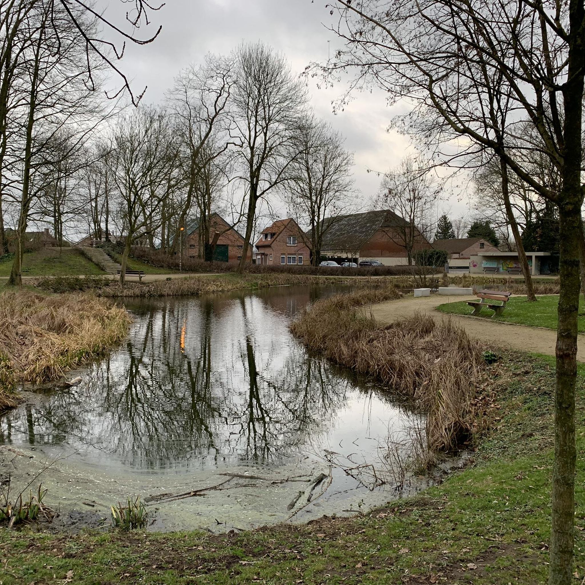
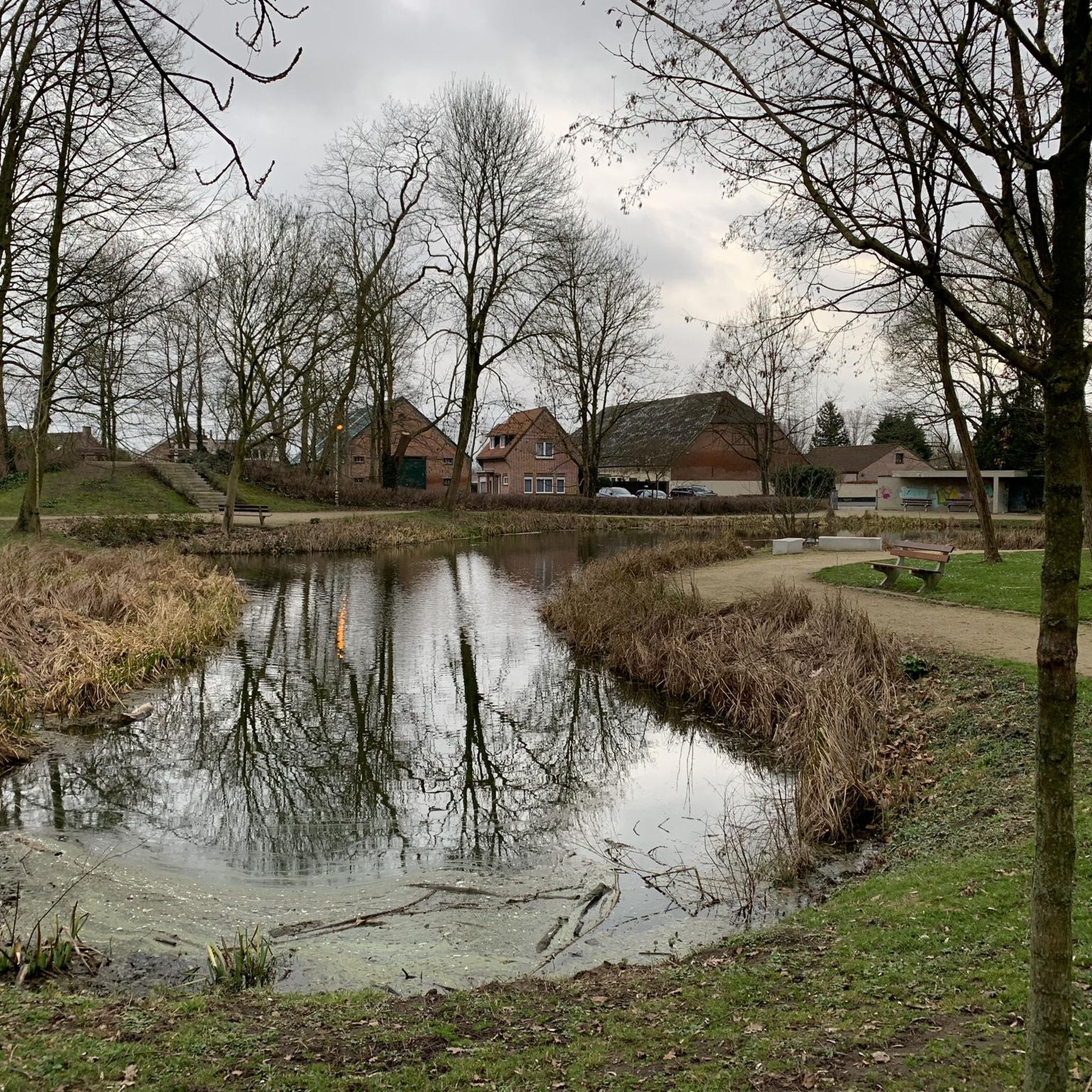
Beautiful domain with a beautiful park. In the summer months on Saturdays and Sundays the terrace is open in the coach house.
3
0


The Hof ter Saksen castle in Beveren is not only dazzlingly beautiful to look at, it is especially the park that is a real eye-catcher. The Hof ter Saksen castle park plays with the senses of the visitor. And the plants are so beautiful and sophisticated that each season gives its own colour, atmosphere and identity. You can stroll there for free from 10 am, in the summer until 8 pm and in the winter until 4.30 pm. Dogs on a leash are only welcome on the designated paths, not in the stream valley, the nature garden and the high-stem orchard. More information at https://www.waasland.be/hof-ter-saksen-0
4
0
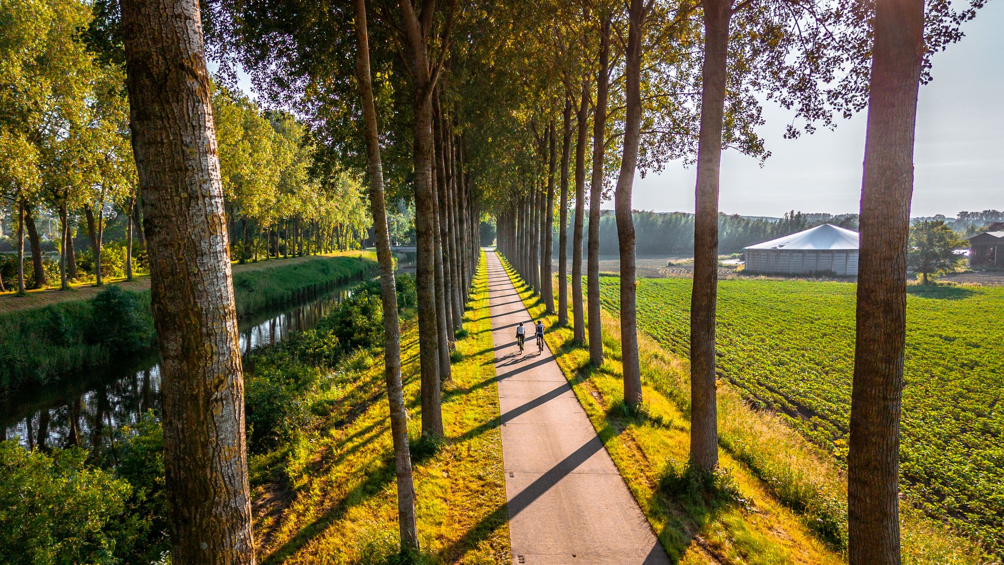
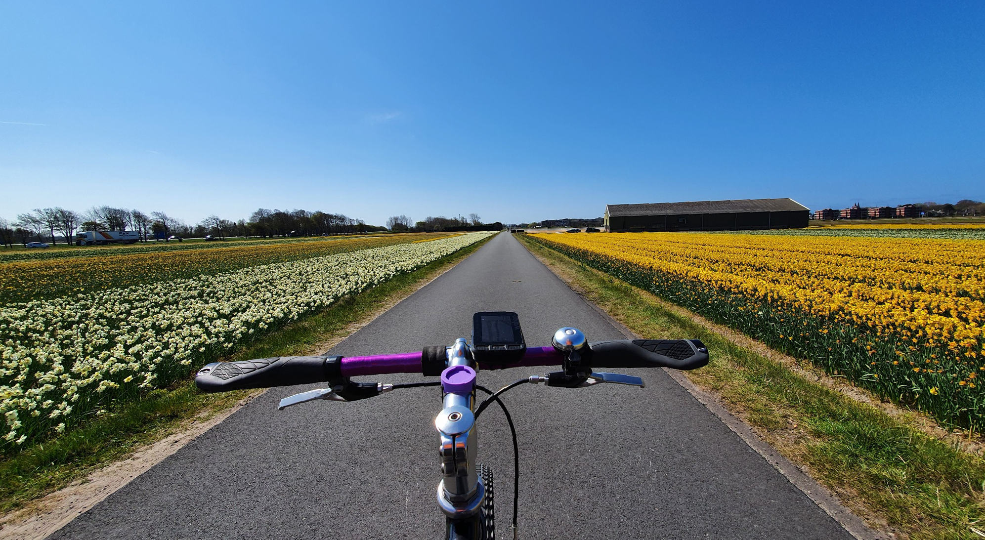
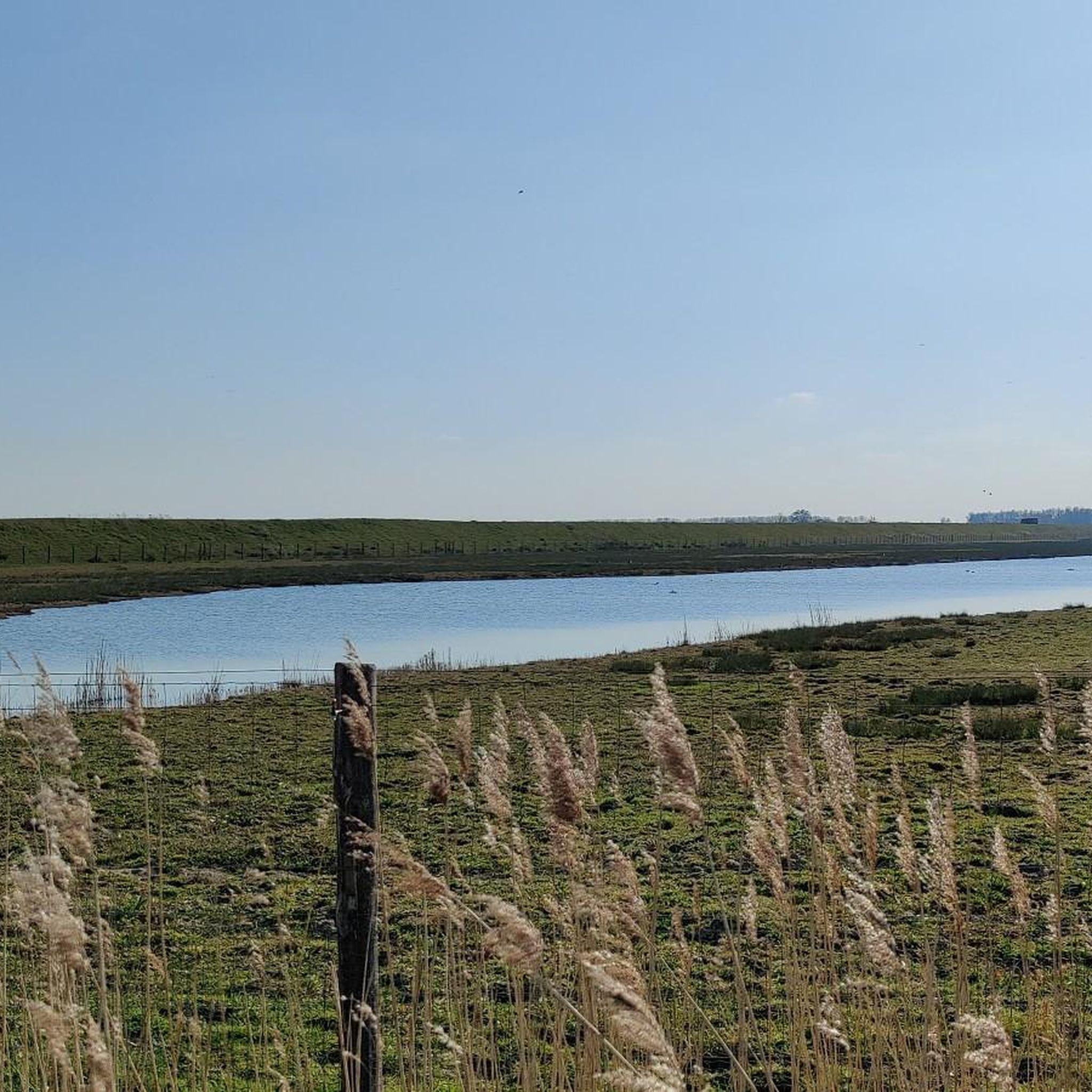
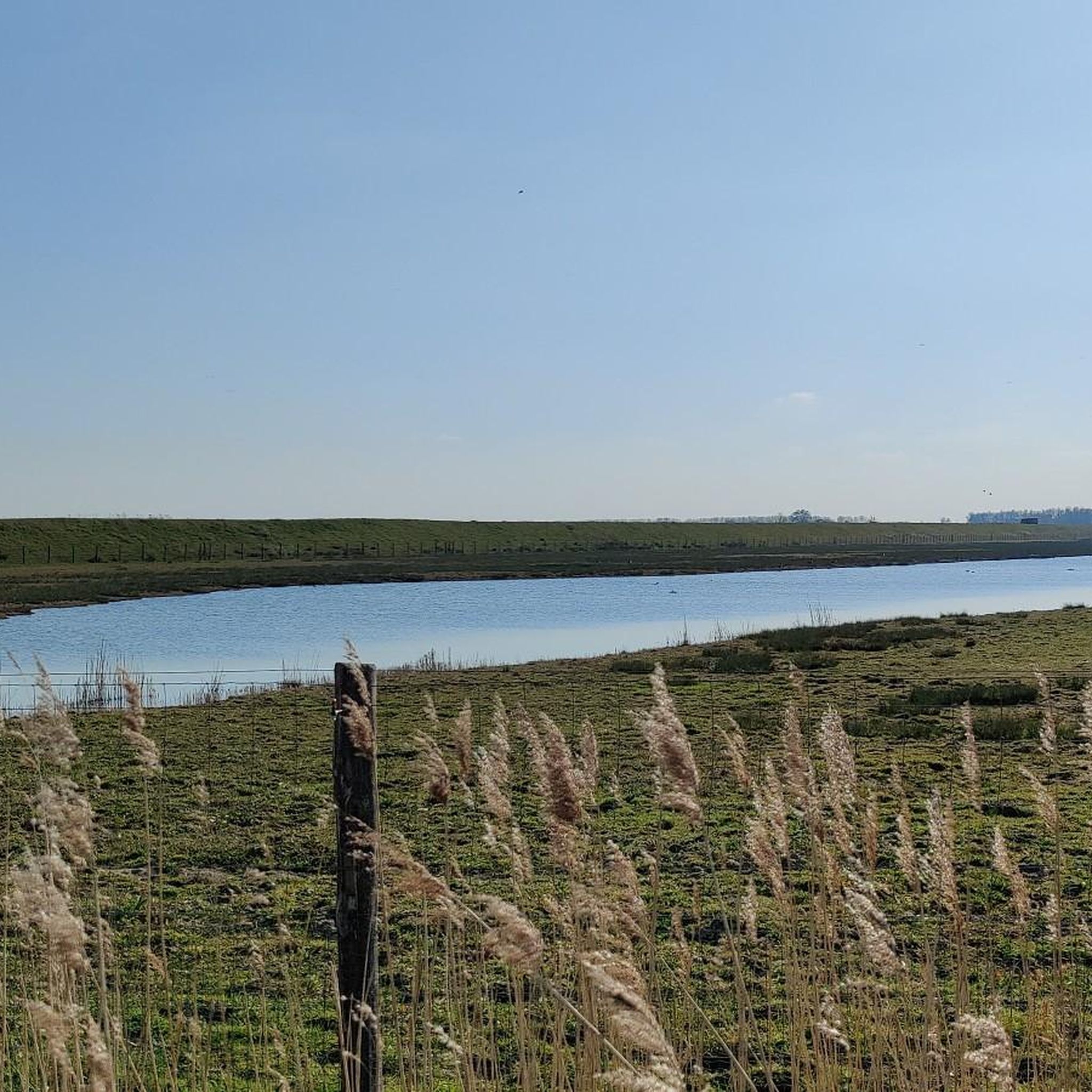
Wonderful route, not much shadow, use sunscreen and battle the wind
0
0

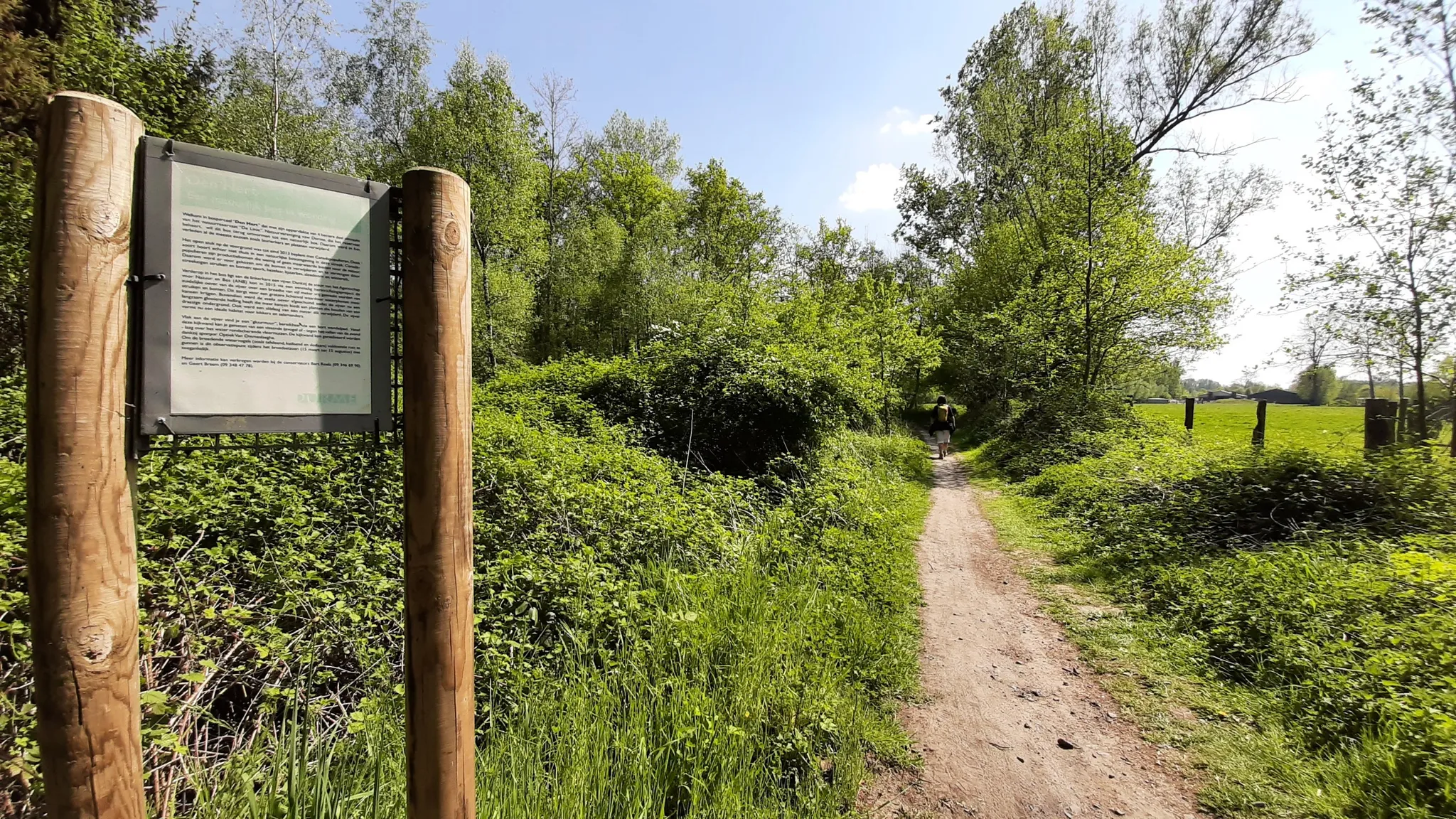
Beautiful and quiet forest (if in high season). The hiking trails are almost in order, sometimes it can be a bit muddy during heavy rain. If you are lucky you might spot some deer 😊
1
0

drinking a nice beer
1
0

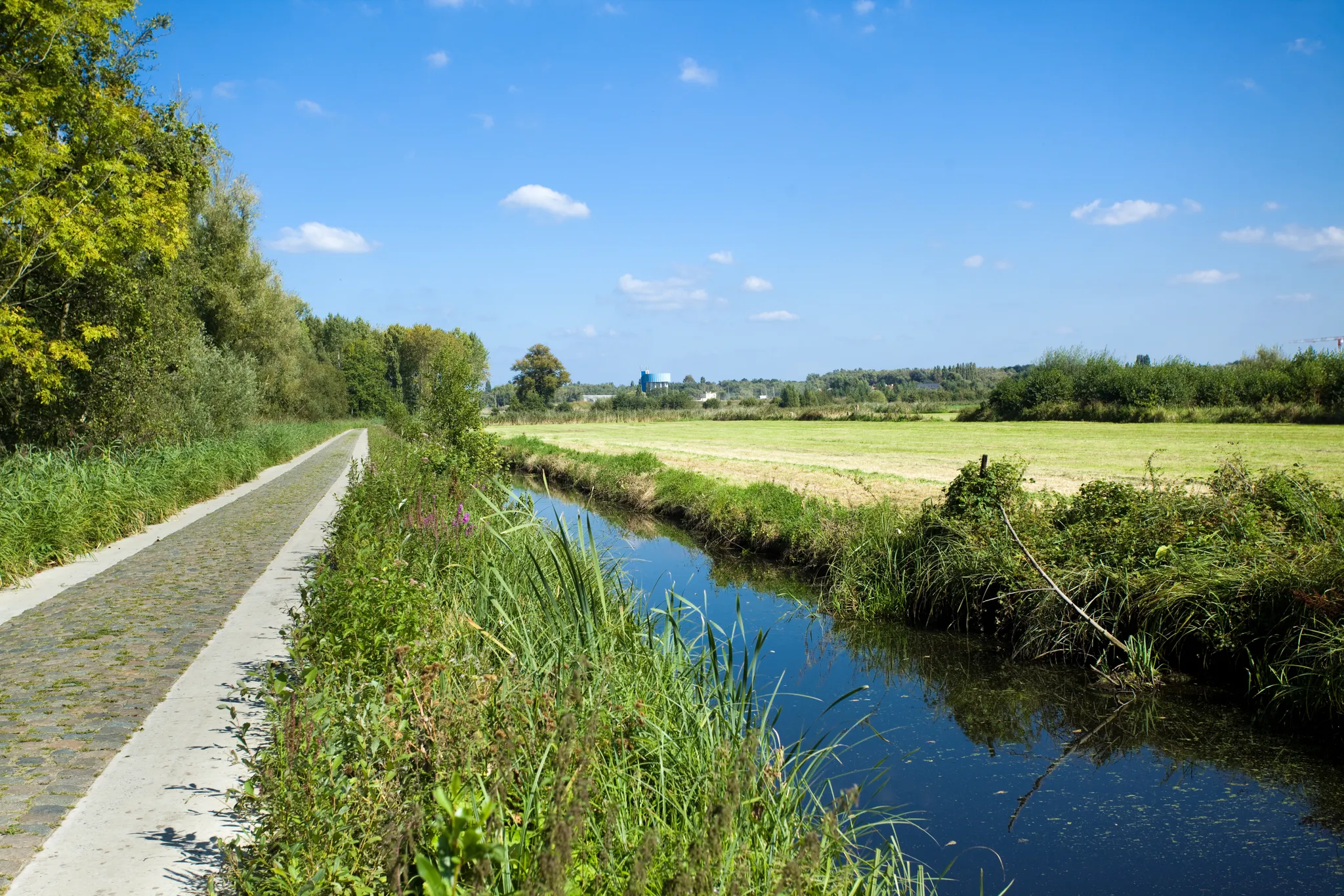
The Drowned Land of Saeftinghe is a tidal area of the Western Scheldt a few km downstream from Antwerp. The largest brackish water salt marsh area in Europe and a Zeeland monument. With a visitors centre in Emmadorp.
2
0
ベーフェレンでのの人気観光スポット

komootモバイルアプリでインスピレーションを得よう


さらに探索
これらのガイドで、最高の洞窟を探す範囲を広げましょうベーフェレンでの:
