リトルパッキントンでののおすすめグラベルライド
3.0
(1)
14
ライダー
3
ライド
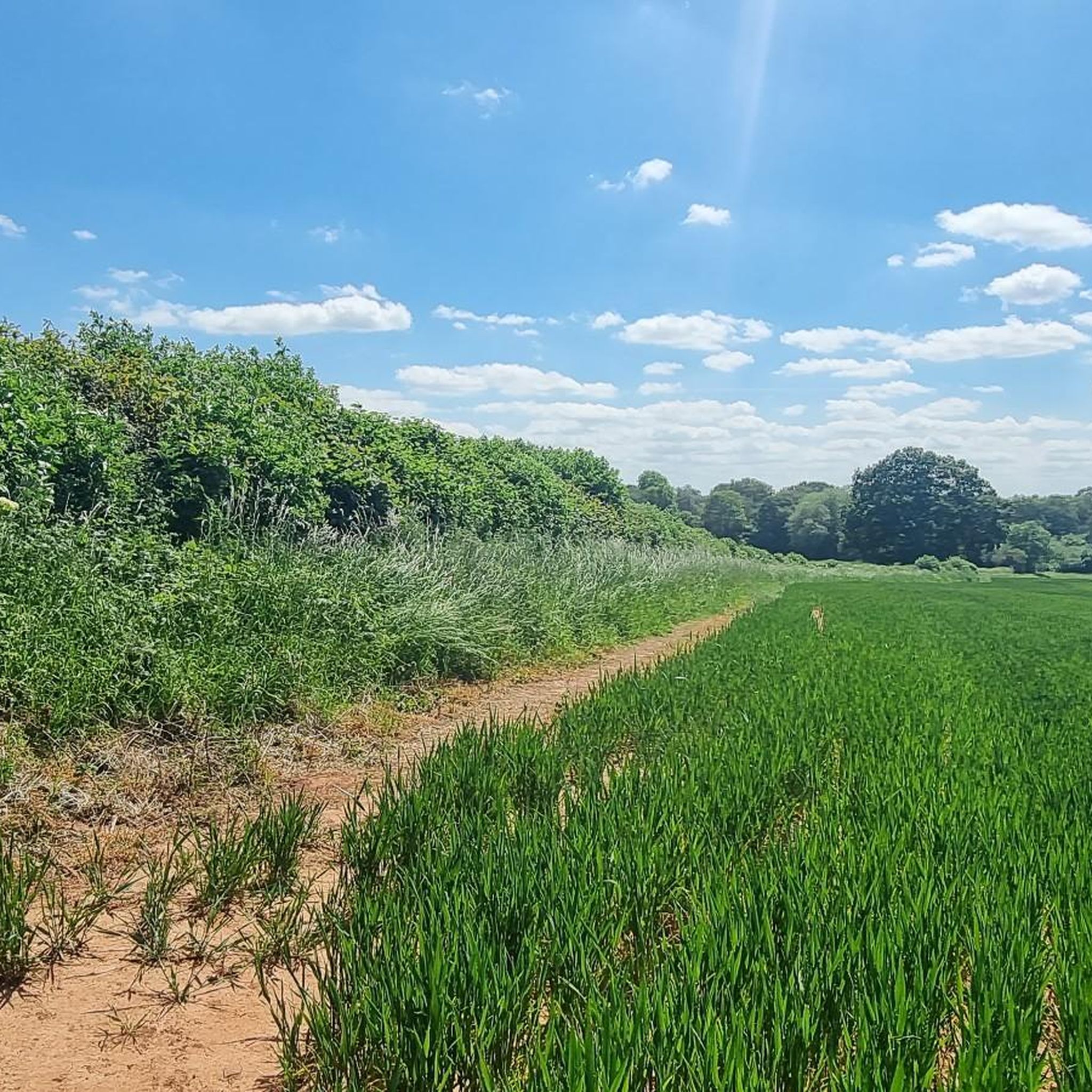
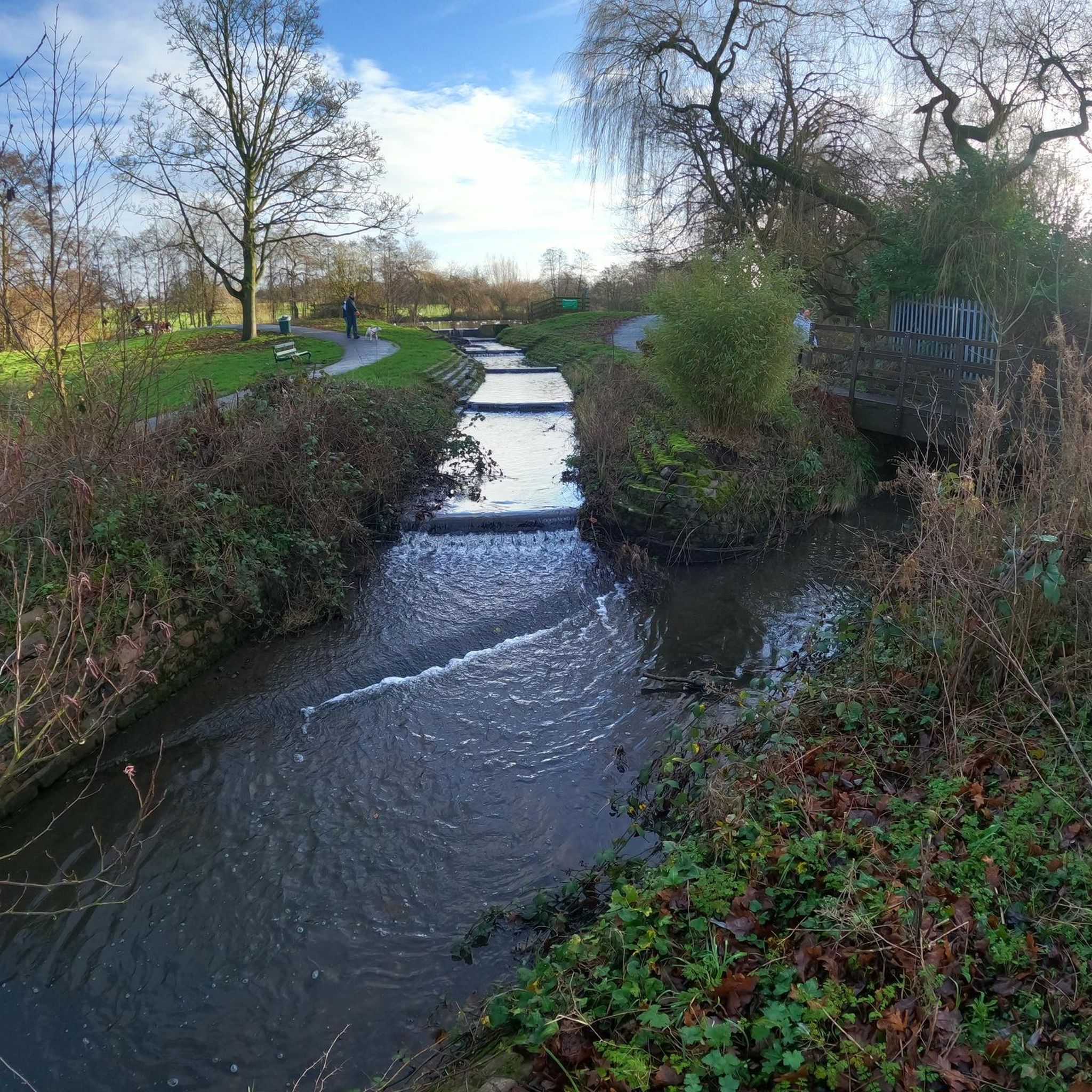
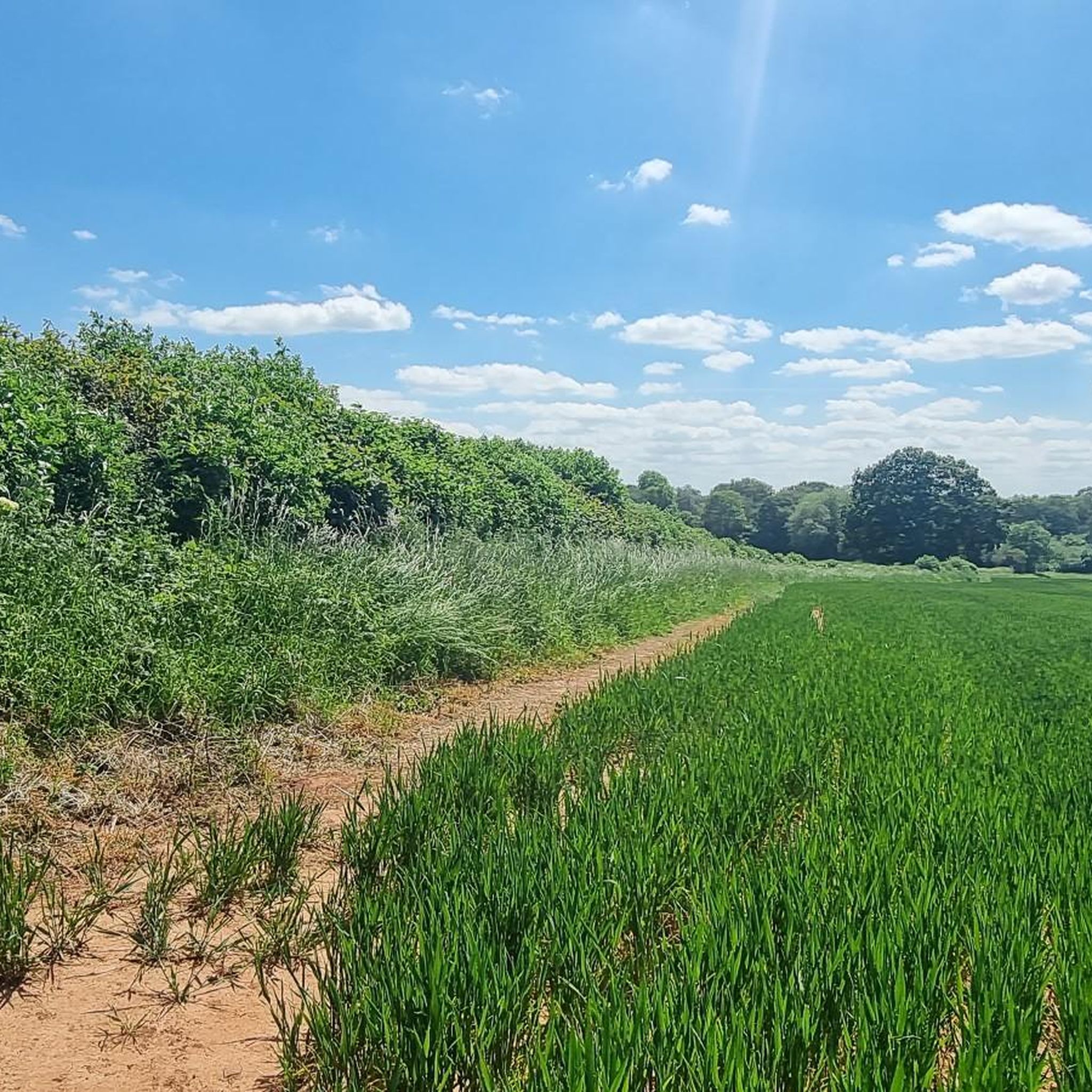
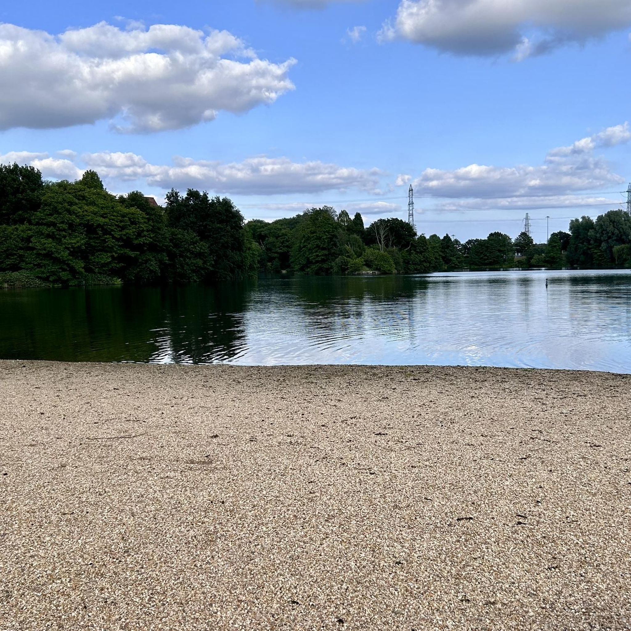
リトル・パッキングトンCP周辺のグラベルバイクライドは、自然の地形と歴史的建造物が混在する、変化に富んだオープンカントリーサイドの地形を提供します。この地域には、特別な科学的関心地域(Site of Special Scientific Interest)であるブライス川(River Blythe)と、マーシュ・レーン自然保護区(Marsh Lane Nature Reserve)があり、サイクリストに多様な自然環境を提供しています。ルートはしばしばブライス川沿いや川を横断し、体力づくりと遺産探訪を組み合わせています。景観には、セント・バーソロミューズ教会(St. Bartholomew's Church)やハーミテージ・マナー(Hermitage Manor)の遺跡などの歴史的建造物が含まれており、グラベルバイクのトレイルに興味深いポイントを加えています。
リトル・パッキングトンCP周辺のベストグラベルバイクコース
- 最も人気のあるグラベルバイクコースは、バークスウェル発のケンルワース城~ケンルワース・グリーンウェイ・ループ(Kenilworth Castle – Kenilworth Greenway loop from Berkswell)で、距離は40.6km(25.2マイル)、所要時間は2時間27分です。この中程度の難易度のルートは、開けた道と歴史的な名所の両方を楽しめます。
- 地元のグラベルバイカーに人気のもう一つのコースは、オルトン発のハットン・ロックス~ハットン・ロックス・ループ(Hatton Locks – Hatton Locks loop from Olton)で、中程度の難易度で54.0km(33.5マイル)です。このルートは、運河沿いのサイクリングと周囲の田園風景が特徴です。
- 地元のグラベルバイカーに愛されているもう一つのコースは、ウォーター・オートン発のマクストーク修道院跡~ドレイトン・ゴシック歩道橋ループ(Maxstoke Priory Ruins – Drayton Gothic Footbridge loop from Water Orton)で、距離は67.2km(41.8マイル)、所要時間は約4時間7分です。変化に富んだ地形と歴史的な特徴を巡ります。
- リトル・パッキングトンCP周辺のグラベルバイクライドは、広大な田園地帯、ブライス川、そして歴史的建造物によって特徴づけられます。このネットワークは、中程度から難易度の高いものまで、様々なレベルのサイクリストに対応するオプションを提供しています。
- リトル・パッキングトンCPのルートは、komootコミュニティから高く評価されており、2件以上のレビューから平均3.0つ星の評価を得ています。10人以上のグラベルバイカーがkomootを利用して、リトル・パッキングトンCPの多様な地形を探検しています。
最終更新日: 8月 22, 2026
3.0
(1)
6
ライダー
53.3km
03:46
270m
270m
中程度のグラベルライド. ある程度のフィットネスレベルが必要です。 全般的に舗装された状態です。あらゆるスキルレベルに適しています。
7
ライダー
40.6km
02:27
270m
270m
中程度のグラベルライド. ある程度のフィットネスレベルが必要です。 全般的に舗装された状態です。あらゆるスキルレベルに適しています。

無料新規登録
1
ライダー
67.2km
04:07
460m
460m
難しいグラベルライド. 標準以上のフィットネスレベルが必要です。 全般的に舗装された状態です。あらゆるスキルレベルに適しています。
おすすめのツアーは他のkomootユーザーが実際に経験した何千ものアクティビティに基づいています。
無料アカウントで今日から始めよう
次の冒険が待っています。
ログインまたは登録
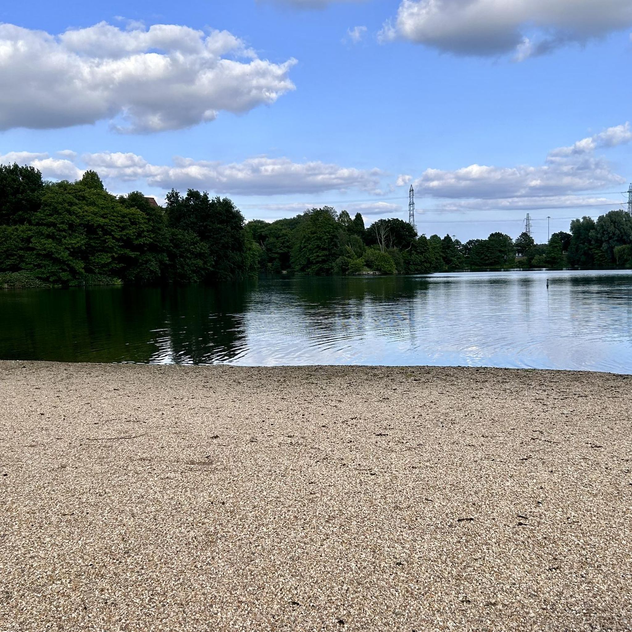
コミュニティからのヒント

コベントリー運河の人気の合流地点で、合流点のすぐ先でタム川を渡ります。バーミンガム方面に進むと、ドレイトン・バセットとドレイトン・マナーの近くにある有名な白い旋回橋を通過します。運河沿いにミドルトン・レイクスRSPBサイト、ミドルトン・ホール、キングスベリー・ウォーター・パークまで歩いてください。
0
0

Such a towpath (known in German as a towpath or Leinpfad), which runs alongside the river or canal, was an essential part of the transport infrastructure in earlier times. Before ships could move by motor power, horses walked along the bank, pulling the boat against the current. This activity was called "treideln" in German, and thus the "treidelpfad" got its name. Where these paths – running directly along the bank – have survived to this day, they no longer serve their original purpose, but are still popular: namely, with hikers and cyclists.
0
0
Rivers and canals crisscross the country, as they were a crucial part of the transport infrastructure – especially in the early days of industrialization. Factories needed the delivery of raw materials in previously unknown quantities, and finished goods also had to find their way to traders. Many of the canals originated in this era. Later, rail and, even later, trucks took over the task of transporting goods. When building the artificial waterways, however, it was important to consider that differences in elevation always had to be overcome, and so locks are often located along the canals – at varying intervals, depending on the local situation. Only with their help was shipping possible.
0
0


The castle was founded after the Norman Conquest of 1066; with development through to the Tudor period. It has been described by the architectural historian Anthony Emery as "the finest surviving example of a semi-royal palace of the later middle ages, significant for its scale, form and quality of workmanship". Kenilworth played an important historical role: it was the subject of the six-month-long siege of Kenilworth in 1266, thought to be the longest siege in medieval English history, and formed a base for Lancastrian operations in the Wars of the Roses. Kenilworth was the scene of the removal of Edward II from the English throne, the perceived French insult to Henry V in 1414 of a gift of tennis balls (said by John Strecche to have prompted the campaign that led to the Battle of Agincourt), and the Earl of Leicester's lavish reception of Elizabeth I in 1575. It has been described as "one of two major castles in Britain which may be classified as water-castles or lake-fortresses...
0
0


It's nice to look at and walk over but the spiral stairs up and down are a nightmare to get bikes up and down.
0
0
Towpath is usually in pretty good condition for most of the year. Probably not all suitable for a road bike but anything with 40mm or above tyres is going to be fine.
0
0
リトルパッキントンでのの人気観光スポット

komootモバイルアプリでインスピレーションを得よう


さらに探索
他の地域の最高のグラベルライドを見てみましょう。
