ランバッハーフォルストの湖・トップ20
次の冒険でランバッハーフォルストの素晴らしい湖を訪れてみませんか?湖畔の穏やかな雰囲気や、天気が良い日のひと泳ぎは格別です。komootコミュニティがおすすめするランバッハーフォルストの素晴らしい湖の一覧を参考にして、次の冒険では湖をもっと満喫しましょう。
最終更新日: 8月 30, 2026
Ködeltalsperre(ケーデルタルシュペレ)取水塔
ハイライト • 記念碑
翻訳者 Google •
役立つ情報 は

ケーデルダム
ハイライト • 湖
翻訳者 Google •
役立つ情報 は

今すぐサインアップして、こんな場所を発見しよう
最高のシングルトラック、ピーク、その他のエキサイティングなアウトドアスポットのおすすめを受け取ろう。
無料新規登録
フランケンヴァルト湖
ハイライト • 湖
翻訳者 Google •
役立つ情報 は

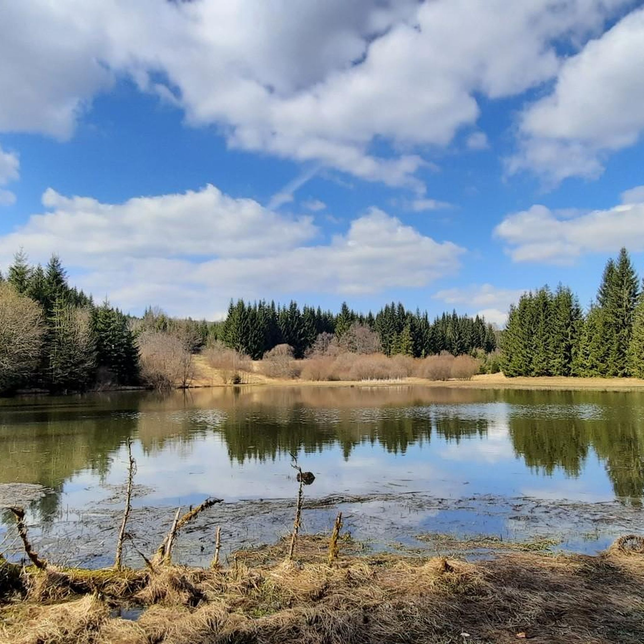
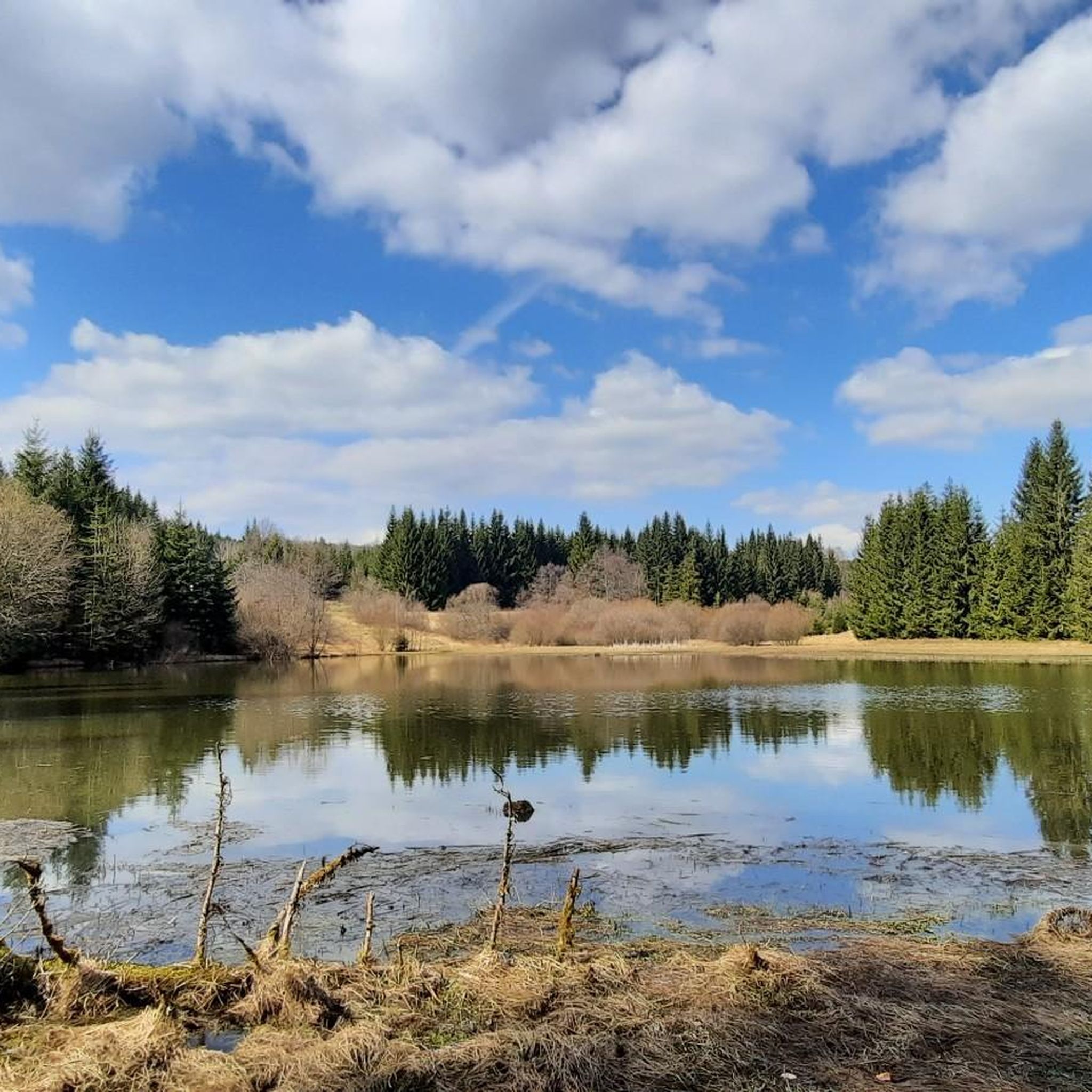
シュタインビュール採石場湖
ハイライト • 湖
翻訳者 Google •
役立つ情報 は
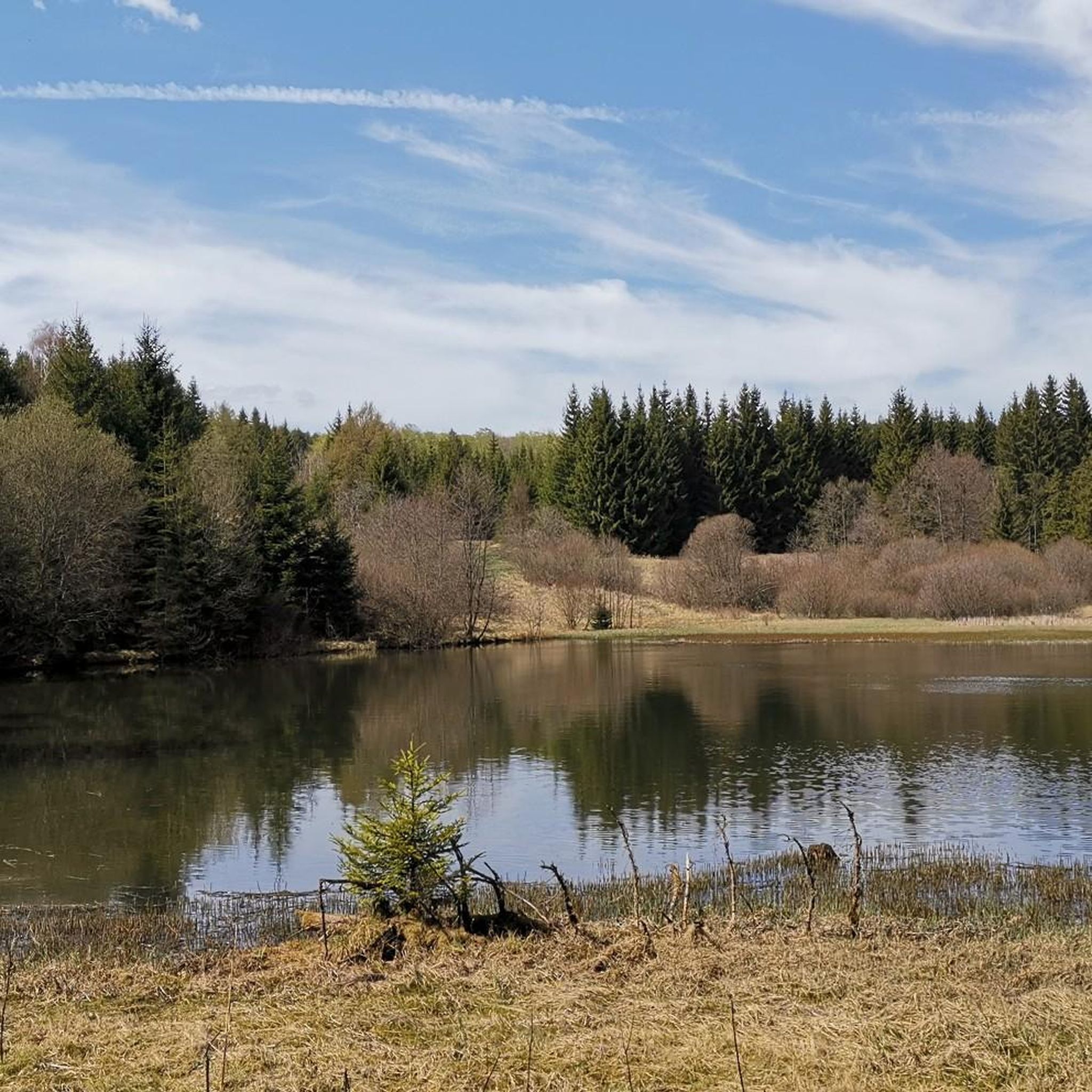
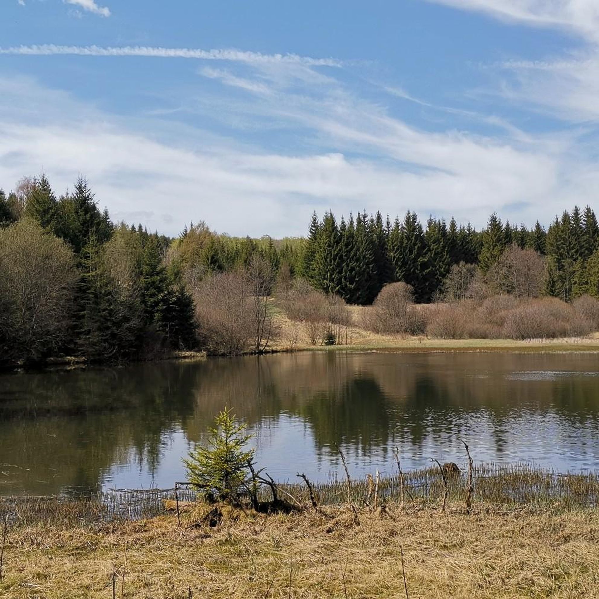
シュヴァルツァー・タイヒ(黒い池)
ハイライト • 湖
forms the Bavarian-Thuringian border.
翻訳者 Google •
役立つ情報 は

無料でサインアップして、さらに多くの湖を発見しましょう ランバッハーフォルストでの。
無料新規登録
すでにアカウントをお持ちですか?
無料アカウントで今日から始めよう
次の冒険が待っています。
ログインまたは登録
コミュニティからのヒント


The first section of the route is not necessarily suitable for inexperienced bikers but the rest of the route leads along easier paths that are manageable for everyone
0
0

Beautiful views around the dam.
3
1

The drinking water dam Mauthaus - called "Ködeltalsperre" - is one of the largest of its kind in Bavaria. Around the "Frankenwaldfjord" leads an approx. 11.5 km long paved path, which is ideal for hiking, cycling or inline skating. The drinking water dam Mauthaus is located in the valley of the Nurner Ködel, a tributary to the Rodach, about 20 kilometers northeast of Kronach. It was built from 1968 to 1972 to supply drinking water. As a secondary purpose, it serves to protect against flooding, raise low water levels and generate electricity from hydropower. It was put into operation in 1975 and was thus the first Bavarian drinking water dam. The body of water may not be used for water sports, which contributes significantly to the quality of drinking water. A bicycle rental is located in the Oberes Rodachtal tourist office in Steinwiesen, Kronacher Straße 75.
3
0

The blue water is simply magnificent. You have to go there at least once. Plan on ten kilometers for a walk around the dam! There are only a few short, gentle climbs along the route. The rest of the loop is fairly flat. 🤗
1
0


- is located directly on the Schwarzenbach-Naila cycle path - really pretty stain, great play of colors - a short photo stop is worthwhile here
0
0
ランバッハーフォルストでのの人気観光スポット

komootモバイルアプリでインスピレーションを得よう


さらに探索
まだ完璧な湖が見つかりませんかランバッハーフォルストでの?これらの地域のガイドをチェックして、さらに美しい場所を見てみましょう。
