アルデージオの滝・トップ13
そこへたどり着くまでの移動手段がなんであれ、息を呑むような体験をもたらしてくれる滝。アルデージオには行ってみたい13
の美しい滝があります。次のアウトドアの旅で行きたい滝を決められるよう、それぞれの滝についての写真や役立つ情報を以下に掲載しています。参考にして、スムーズに次の冒険を計画しましょう。
最終更新日: 8月 29, 2026
ヴァル・サンブッツァの滝
ハイライト • 滝
翻訳者 Google •
役立つ情報 は

サングイーニョ川の滝
ハイライト • 滝
翻訳者 Google •
役立つ情報 は

今すぐサインアップして、こんな場所を発見しよう
最高のシングルトラック、ピーク、その他のエキサイティングなアウトドアスポットのおすすめを受け取ろう。
無料新規登録
ヴァルズリオの巨人の壺
ハイライト • 自然記念物
翻訳者 Google •
役立つ情報 は

Cascate della Foga
ハイライト • 滝
翻訳者 Google •
役立つ情報 は

オーニャ川沿いの滝と渓流(オロビエ・ベルガマスケ公園)
ハイライト • 滝
翻訳者 Google •
役立つ情報 は
無料でサインアップして、さらに多くの滝を発見しましょう アルデージオでの。
無料新規登録
すでにアカウントをお持ちですか?
無料アカウントで今日から始めよう
次の冒険が待っています。
ログインまたは登録



コミュニティからのヒント

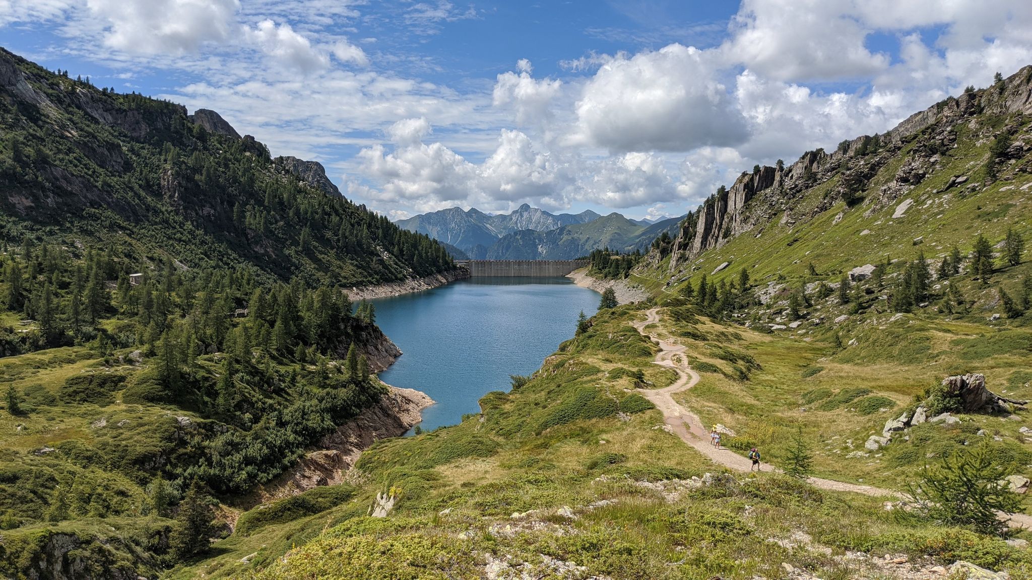
カスカータ・デッラ・ヴァル・サンブッツァ(カスカータ・ディ・カローナとしても知られる)は、ベルガモ県カローナの自治体内に位置し、標高約1,413メートルのヴァル・ブレンバーナで最も印象的な滝の一つです。
4
0

Snow-covered Giants' Cauldrons!
1
0

Today Sanguigno Stream Waterfalls Show more The Sanguigno Stream waterfalls are one of the most evocative natural spectacles in the Sanguigno Valley, above Valgoglio (BG). A sequence of waterfalls and crystal-clear pools that line the trail surrounded by greenery, making the valley a true paradise for hikers and nature lovers. 🌊 Main features Unique environment: The Sanguigno Valley is considered the oasis with the highest biodiversity in the Orobie Bergamasche Park. Waterfalls and natural pools: The stream cascades, forming transparent pools of green and blue. Wild atmosphere: The water tumbles over waterfalls, rests in crystal-clear lakes, and flows through peat bogs and shady woods. Accessibility: The starting point is the Aviasco power plant (965 m), accessible by car from Valgoglio. From there, the trail follows the stream and its waterfalls to the Gianpace Refuge. 🚶♂️ Hiking itinerary Start: Valgoglio (929 m), with parking at the Aviasco power plant (ticket required). Route: The trail follows the Sanguigno stream, passing through woods and clearings, with constant glimpses of the waterfalls. Intermediate stop: Rifugio Gianpace (1331 m), an excellent refreshment point and observation point for the waterfalls. Duration: Approximately 2 hours' walk to the refuge, with moderate elevation gain.
0
0
The waterfalls of the Sanguigno River are one of the most evocative natural spectacles in the Sanguigno Valley, above Valgoglio (BG). A sequence of waterfalls and crystal-clear pools line the trail, immersed in greenery, making the valley a true paradise for hikers and nature lovers. 🌊 Main features Unique environment: The Sanguigno Valley is considered the oasis with the highest biodiversity in the Orobie Bergamasche Park. Waterfalls and natural pools: The stream cascades, forming transparent pools of green and blue. Wild atmosphere: The water tumbles over waterfalls, rests in crystal-clear lakes, and flows through peat bogs and shady woods. Accessibility: The starting point is the Aviasco power plant (965 m), accessible by car from Valgoglio. From there, the trail follows the stream and its waterfalls to the Gianpace Refuge. 🚶♂️ Hiking itinerary Start: Valgoglio (929 m), with parking at the Aviasco power plant (ticket required). Route: The trail follows the Sanguigno stream, passing through woods and clearings, with constant glimpses of the waterfalls. Intermediate stop: Rifugio Gianpace (1331 m), an excellent refreshment point and observation point for the waterfalls. Duration: Approximately 2 hours' walk to the refuge, with moderate elevation gain.
0
0
The Foga Falls are located in the Foga Valley, just above Valbondione, and offer a striking natural spectacle with a drop of approximately 125 meters at an altitude of 1,800 meters. These waterfalls are immersed in a fascinating landscape and historical context, linked to the Redorta mountain huts and the area's mining history. Here's a detailed overview: 🌊 Characteristics of the Foga Falls Elevation: approximately 1,800 meters above sea level. Drop: 125 meters, visible in all its grandeur, especially during flood periods. Visual effects: Rainbows often form in the cascading water, making the site particularly photogenic. 🥾 Access and itineraries Recommended trail: CAI 331, which starts from the town of Valbondione, near the bus depot. Duration: About a 30-minute walk to reach Salvasecca, which provides access to the Foga Valley and the waterfalls. Difficulty: Low, also suitable for less experienced hikers. Alternative route: From Lizzola Bassa, a 6.6 km loop with 487 m of elevation gain. 🏞️ Landscape and historical context The Foga Valley opens west of Valbondione, descending steeply from the slopes of Pizzo Redorta. It is crossed by a penstock that feeds the Dossi power plant, with a historic stone tower (ENEL well) visible along the trail. The Redorta and Rigù huts are ideal destinations for continuing the hike, immersed in the greenery of the Orobie Alps.
0
0

Possibility of taking crazy dives
0
0

Beautiful waterfalls are visible both at this point on the agro-forestry/pastoral road and at 1,100 meters above sea level on the short stretch of trail that branches off from the bend in the road. From this second point, the waterfalls are truly impressive!
0
0

Fascinating waterfalls, varied in shape and size. They create a sound (which we mistakenly call noise) that allows you to forget your worries, and I dare say it's therapeutic. The trail to reach them is easy, but be careful not to slip due to the constant humidity.
2
0

komootモバイルアプリでインスピレーションを得よう


さらに探索
少し遠出するのは嬉しいですか?それなら、これらのガイドで最高の滝を見てみましょうアルデージオでの:
