レッジョ・ネレミリアの峠・トップ19
風景を楽しんだり、上りや下りを満喫したり、峠には楽しみ方がたくさんあります。レッジョ・ネレミリアの素晴らしい峠の一覧を参照して、思い出に残るアドベンチャーに出かけましょう。コミュニティのメンバーがコミュニティのために投稿した峠のハイライトは、他のユーザーが実際におすすめする情報なので、どれも信頼できるものです。気に入った峠にさっそく向かってみましょう。
最終更新日: 7月 10, 2026
パッソ・ディ・ラマ・リーテ
ハイライト • 山道
From the pass in a short time you can reach three refuges for refreshment and rest. The closest is the Battisti Refuge, descending towards Ligonghio you will find the Bargetana Refuge and towards Civago you will find the Segheria Refuge.
翻訳者 Google •
役立つ情報 は

チーザ峠
ハイライト • 山道
翻訳者 Google •
役立つ情報 は

今すぐサインアップして、こんな場所を発見しよう
最高のシングルトラック、ピーク、その他のエキサイティングなアウトドアスポットのおすすめを受け取ろう。
無料新規登録
パッソ・デッレ・フォルビチの記念碑と小さな礼拝堂
ハイライト • 記念碑
On site there is also a small chapel and a memorial to the Resistance partisans who fell in the battle which was fought here on 2 August 1944.
翻訳者 Google •
役立つ情報 は

プラダレーナ峠
ハイライト • 山道
翻訳者 Google •
役立つ情報 は
パッソ・デッラ・スカルッキア
ハイライト • 山道
翻訳者 Google •
役立つ情報 は

パッソ・デル・チェッレート
ハイライト • 山道
翻訳者 Google •
役立つ情報 は

イル・パッソーネ
ハイライト • 山道
From here you can enjoy a wonderful view of the Dolo and Ozola valleys. On the opposite side, towards the border of the region, stands Monte Prado, the highest peak in Tuscany with its 2,054 meters of altitude.
翻訳者 Google •
役立つ情報 は
ジョヴァレッロ峠(1663m)
ハイライト • 山道
翻訳者 Google •
役立つ情報 は

アルペ・ディ・スッチーゾ山頂
ハイライト • 山頂
Different starting points (Succiso Nuovo, Passo del Cerreto, Passo della Scalucchia) but the climb always requires sure-footedness and good training.
On clear days, the panorama ranges from the sea to the Alps.
翻訳者 Google •
役立つ情報 は

ピエトラタリアータ峠
ハイライト • 山道
翻訳者 Google •
役立つ情報 は
無料でサインアップして、さらに多くの山道を発見しましょう レッジョ・ネレミリアでの。
無料新規登録
すでにアカウントをお持ちですか?
無料アカウントで今日から始めよう
次の冒険が待っています。
ログインまたは登録
レッジョ・ネレミリア周辺で人気
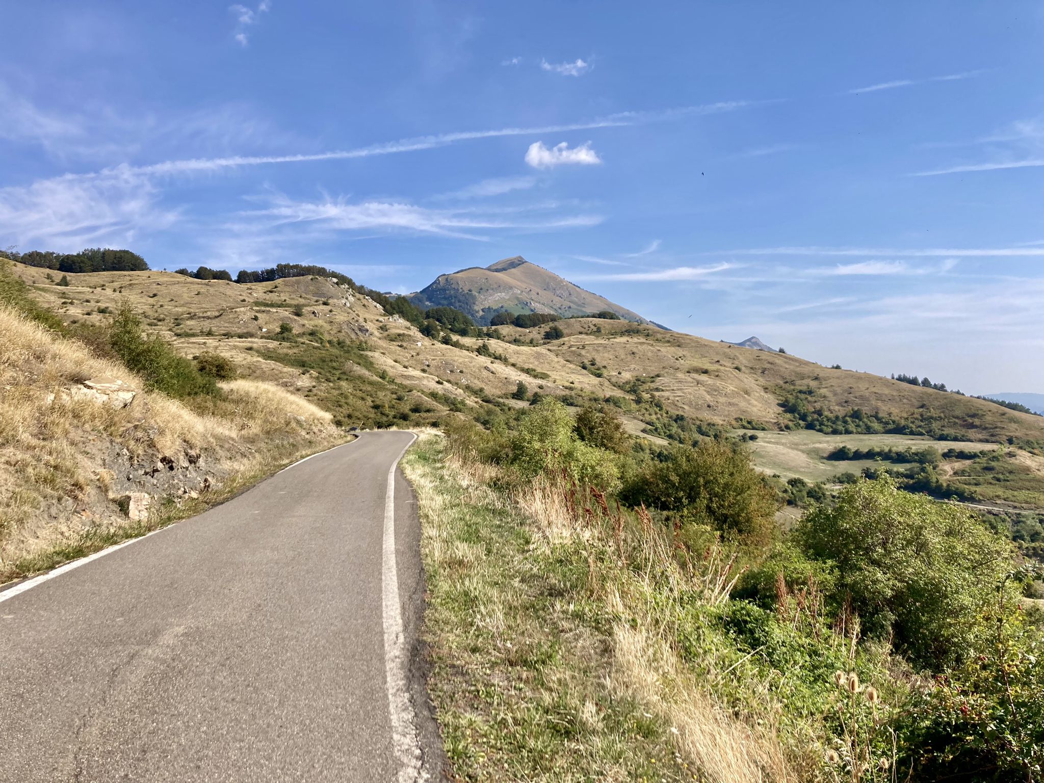
Apperò l'Appennino - のはインリアルドアンスのエミリンド5日
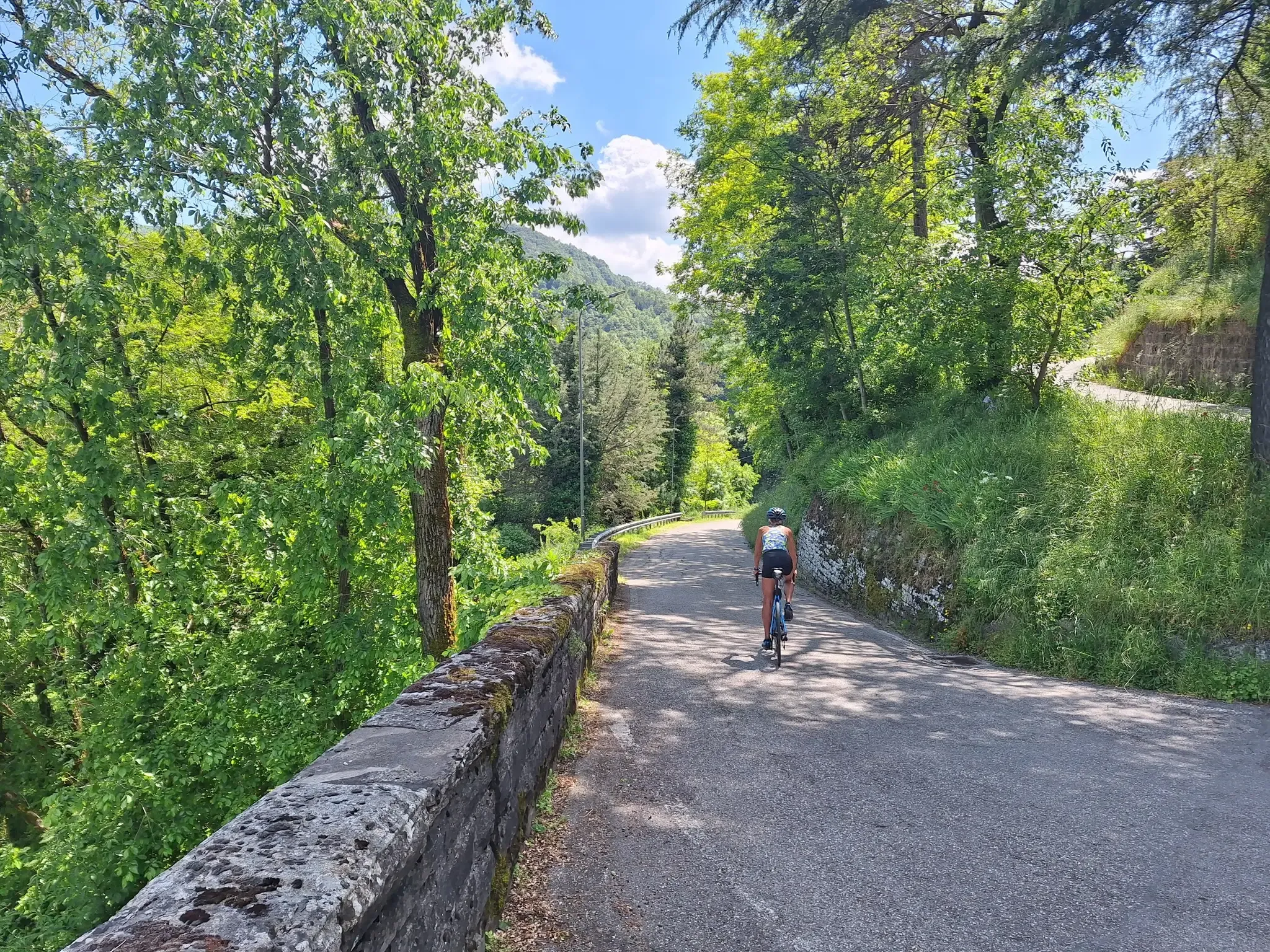
Emilia-Romagna by bike – rides between the plains and the Apennines

アペニン自転車道(パート1)-リグリアからウンブリアへ

ベルチェトからアベトーネまで–アルタ・ビア・デイ・パルキ(パート1)
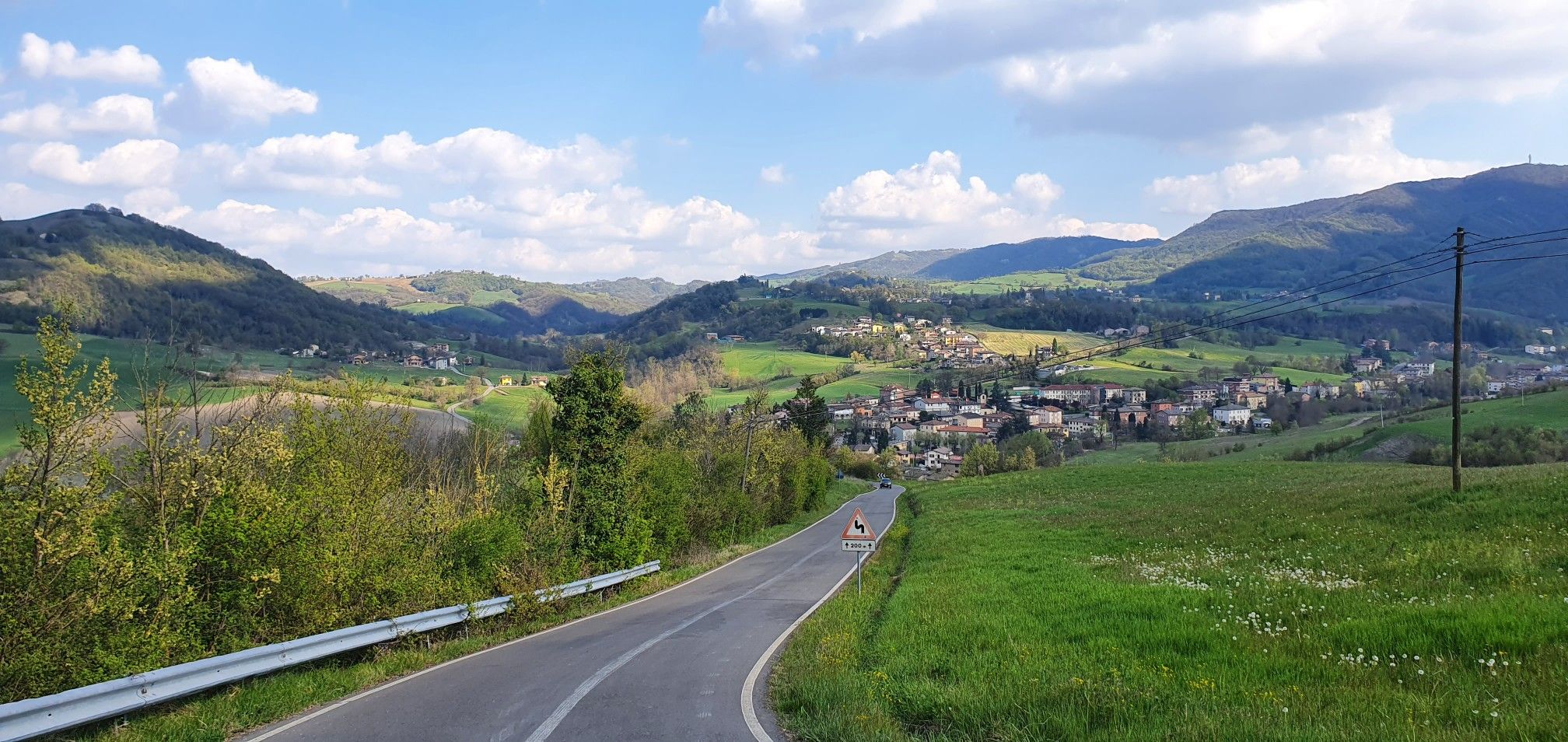
イタリアのレジオ・エミリア・アペニンを再発見 - マティルダの土地のグランドツアー
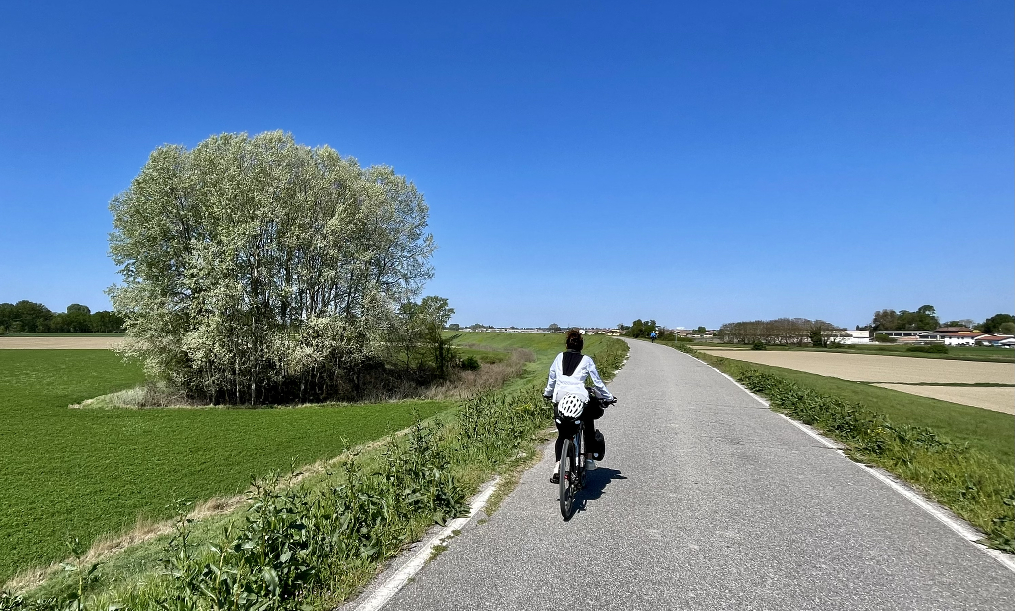
アルフォンシーナ・ストラーダの追跡 – カステルフランコ・エミリアからミラノまで
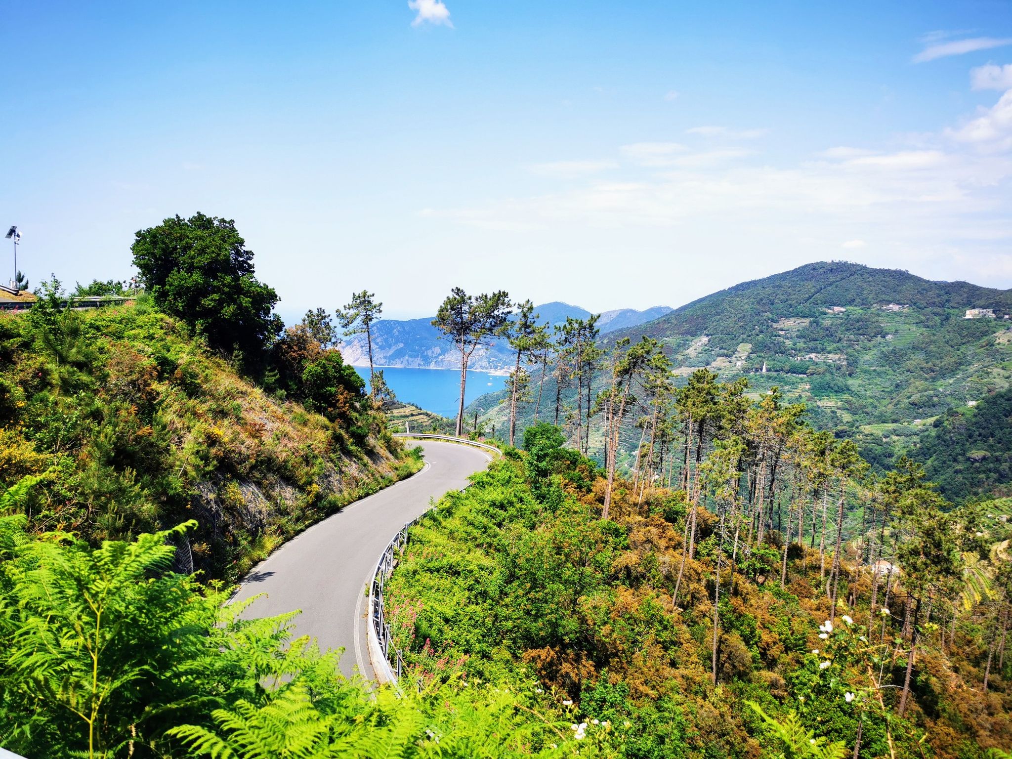
イタリア海岸へのサイクリングツアー- 10の方法で浴びる
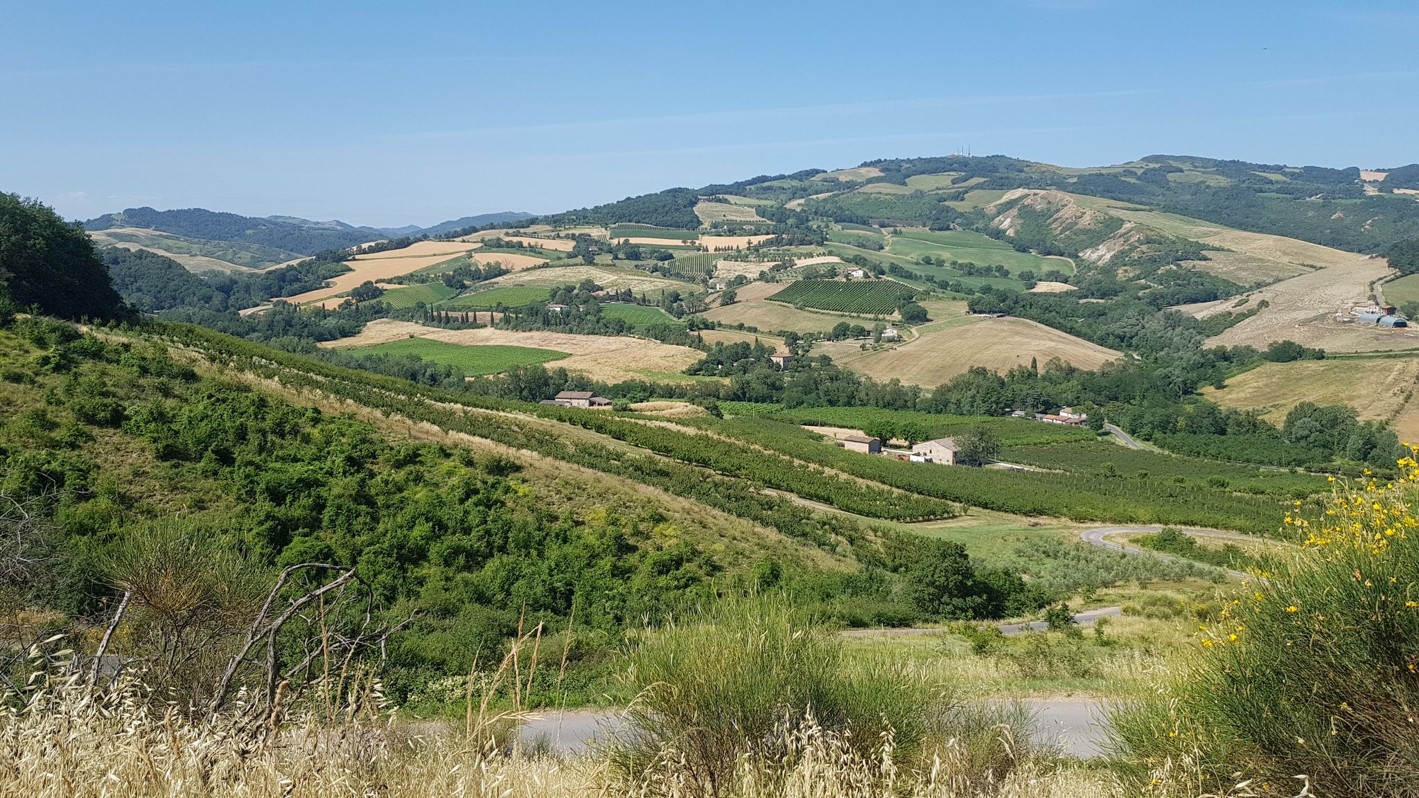
プレアペンニーノ15K - カットリカからピアチェンツァへの丘陵の交差点
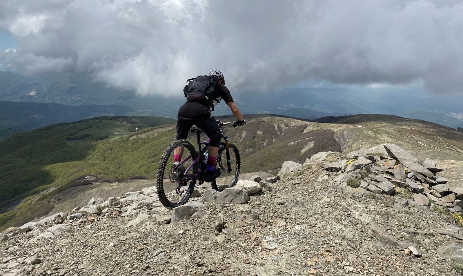
ゴイントラース - イッリアックリスモイルックリス バイルックリスモイルックリス ビコトラウンス
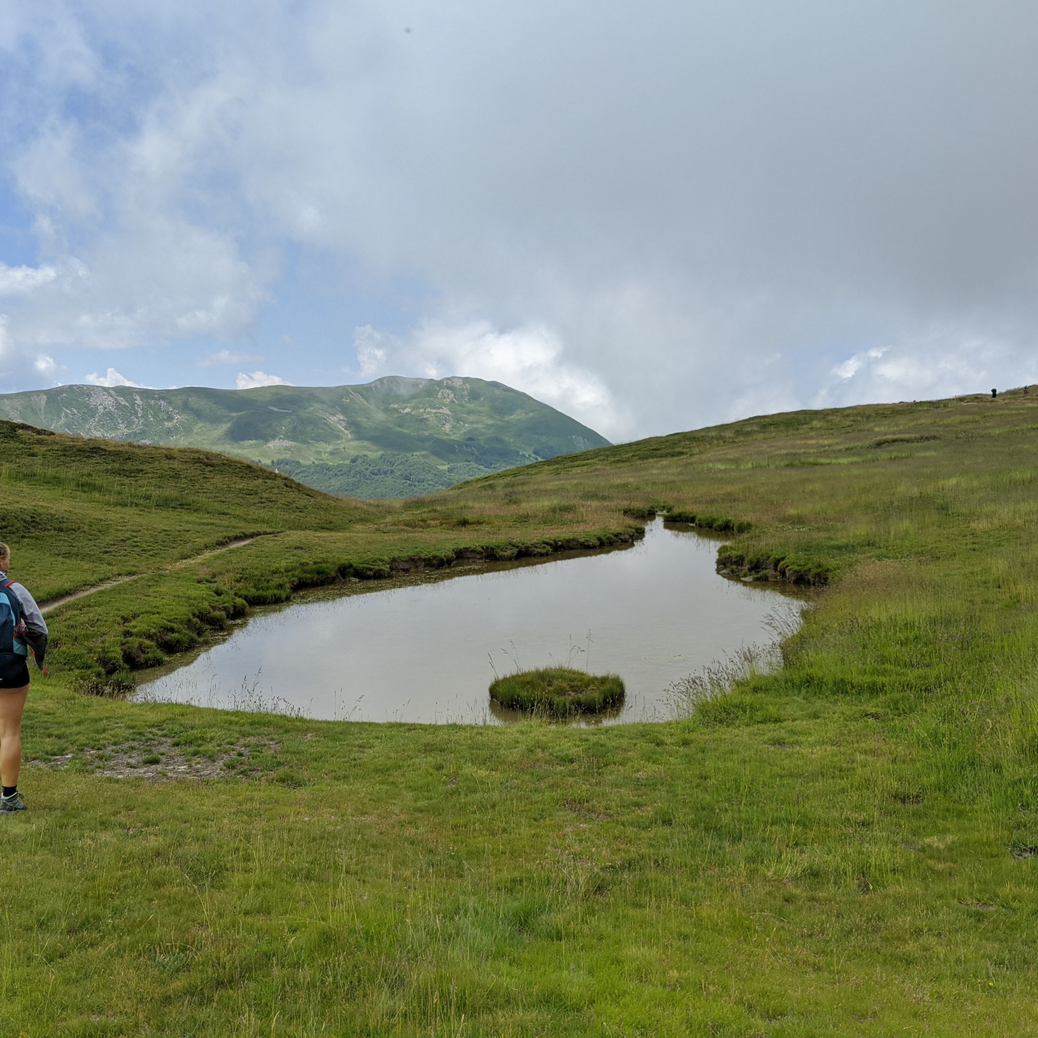
レッジョ・ネレミリアでのハイキング
レッジョ・ネレミリアでのの他の冒険


コミュニティからのヒント

ラマ・リテ峠は、エミリア=ロマーニャ州とトスカーナ州の境界にあるアッペンニーノ・レッジャーノ高地に位置する標高1,749メートルの非常に重要な峠です。トスカーナ=エミリアン・アペニン国立公園の中心部にあります。この峠は、ドーロ川の谷とオゾラ川の谷の間の重要な分水嶺として機能し、モンテ・プラド山塊の麓に位置し、モンテ・クズナの素晴らしい景色を眺めることができます。
0
0
チェレット峠は、標高1,261メートルにあるトスカーナ・エミリア・アペニン山脈の重要な峠です。トスカーナ州とエミリア=ロマーニャ州を隔て、マッサ=カッラーラ県(フィヴァッツァーノ・コムーネ)とレッジョ・エミリア県(ヴェンタッソ・コムーネ)を結んでいます。峠は州道63号線(SS 63)によって完全に横断されています。
0
0

休憩に最適な美しい場所で、屋根付きのテーブルと大きなバーベキューがあります。徒歩圏内には、非常に新鮮な水が出ている素晴らしい泉があります。
0
0


A strategic junction of several routes, usually the beginning of the descending phase of a long climb
0
0

Beautiful panoramic viewpoint with the unique 'ringing' cross
0
0

junction point between the northern slope towards Ligonchio and the southern area towards Febbio.
0
0

レッジョ・ネレミリアでのの人気ルート
レッジョ・ネレミリアでのの人気観光スポット

komootモバイルアプリでインスピレーションを得よう


探していたものは見つかりませんでしたか?
地域ごとに整理されたさらに素晴らしい山道を見つけましょうレッジョ・ネレミリアでの:
