ヤプトンの絶景の山頂・トップ6
絶景を目指して登るのであれ、達成感のために登るのであれ、山頂を訪れることで、ヤプトンの美しい自然をもっと満喫することができます。6
もの選択肢の中から、制覇する山頂を決めるのは簡単ではありません。スムーズに次の冒険で目指す山頂を選べるように、ヤプトンの素晴らしい山頂をこのガイドにまとめました。
最終更新日: 9月 3, 2026
ビグナー・ヒルの山頂とローマ街道の道標
ハイライト • 記念碑
役立つ情報 は

ハルネイカー風車
ハイライト • 歴史的な場所
役立つ情報 は

今すぐサインアップして、こんな場所を発見しよう
最高のシングルトラック、ピーク、その他のエキサイティングなアウトドアスポットのおすすめを受け取ろう。
無料新規登録
バーファム・ヒル山頂
ハイライト (セグメント) • 山頂
役立つ情報 は

ハロウ・ヒル
ハイライト • 山頂
役立つ情報 は

ビグナー・ヒルからの眺め
ハイライト • トレイル
役立つ情報 は
無料アカウントで今日から始めよう
次の冒険が待っています。
ログインまたは登録

コミュニティからのヒント


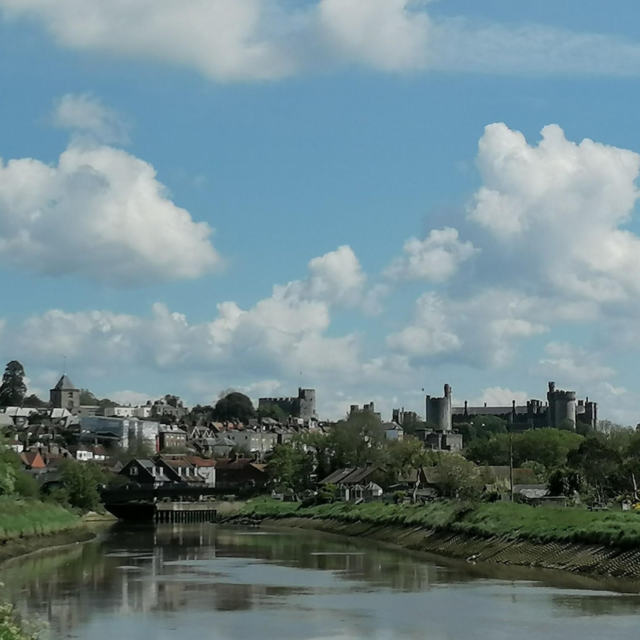
Bignor Hill is another hilltop view point on the South Downs Way. There are nice open views to be had from here down over the South Downs.
0
0


This is a great place to visit at any time of the year, but is particularly special in the autumn. At the NE edge of the village, on the main road (A285), is a new small carpark. The path up to the windmill (Mill Lane track on OS maps) follows the old Roman Road, Stane Street. Beyond the cottages is the famous Halnaker Tree Tunnel. The sunken path has trees on both sides which look particularly fantastic on sunny, autumn days. There are great views in every direction when you get up to the windmill.
0
0

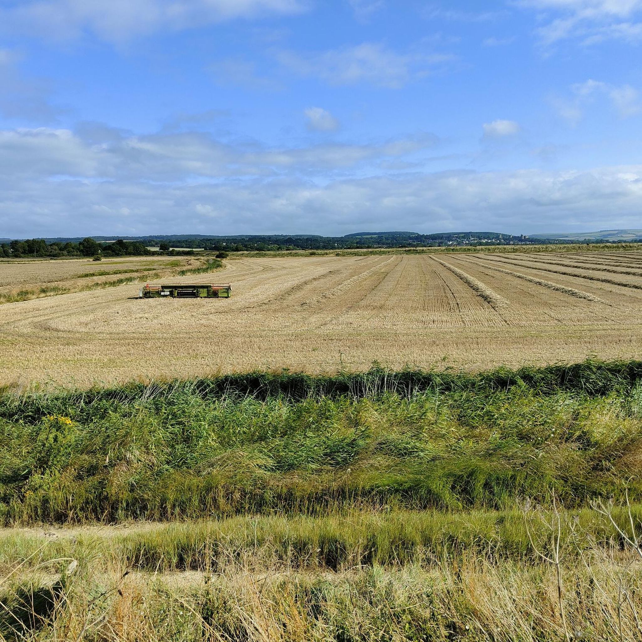
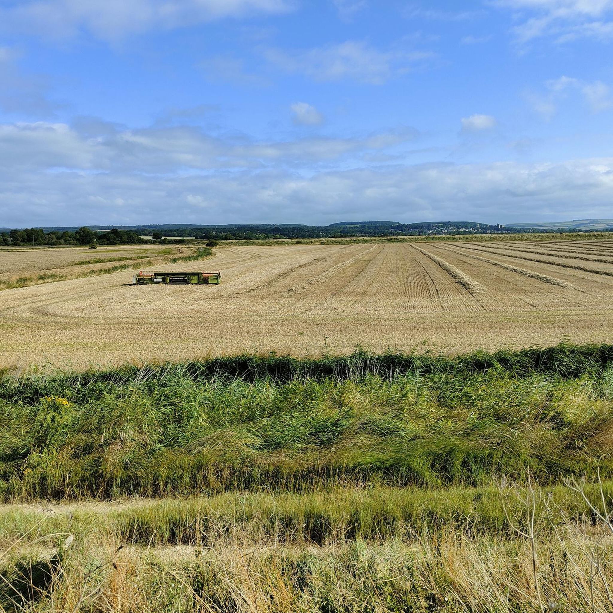
The summit of Barpham Hill is the highest point on Angmering Park Estate at 465 feet (142 m). There are stunning views of the local area with the rolling South Downs to the north, the Arun Valley to the west, and the shimmering coastline to the south. A grassy bridleway and compact earth track runs over the summit, cutting through fields of grazing sheep. It's a fantastic section of open cycling, particularly at sunset.
0
0

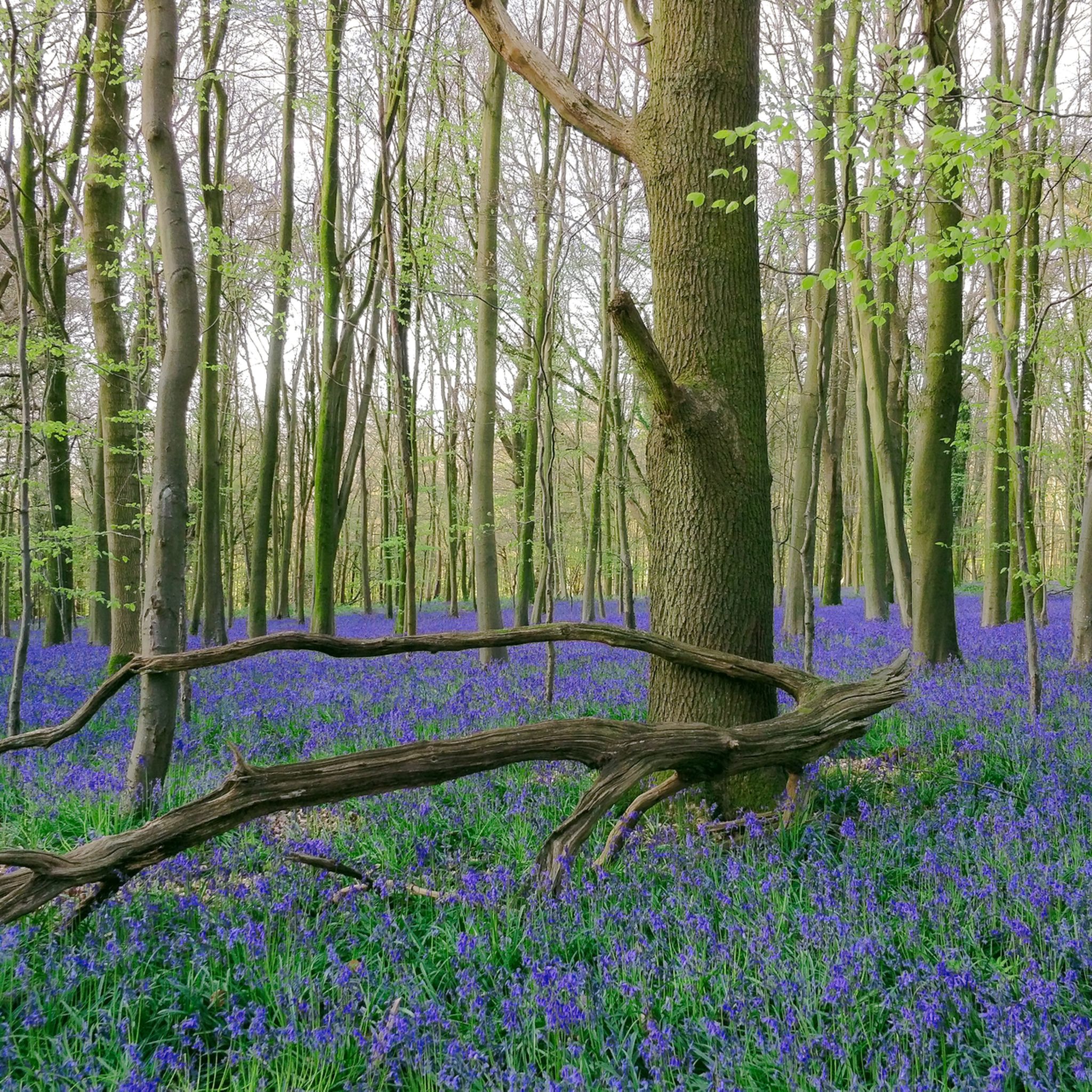
Harrow Hill is an archaeological site situated in West Sussex in the South Downs National Park. The hill sits on the remains of Neolithic flint mines and a Bronze Age settlement. The hill rises 168m above sea level and provides some wonderful panoramic views of the surrounding countryside.
1
0
Part of the Slindon Estate, Bignor Hill is an area managed by the National Trust. It's a prominent viewpoint on the South Downs Way, rising to a height of 699 feet (213 m). It features a Roman road sign pointing towards Londinium (London) and Noviomagus Reginorum (Chichester). The sign lies on an intersection of the ancient Roman road known as Stane Street, which connected these cities. Bignor Hill was a strategic location on Stane Street with its high elevation and commanding views of the surrounding countryside.
2
0
ヤプトンでのの人気観光スポット

komootモバイルアプリでインスピレーションを得よう


さらに探索
これらのガイドでさらに素晴らしい頂上を見てみましょうヤプトンでの:
