キルヒバッハのおすすめライド
4.3
(167)
5,963
ライダー
12
ライド
キルヒバッハ周辺でのロードバイクライドをお考えですか?komootはキルヒバッハ周辺のあらゆるロードバイクライドを評価し、人気ルートを厳選しました。キルヒバッハ周辺の各ロードバイクルートの詳細をご覧になり、自分に合ったルートを見つけてください。
最終更新日: 10月 12, 2026
5.0
(5)
545
ライダー
99.1km
04:46
1,340m
1,340m
難しいロードライド. 標準以上のフィットネスレベルが必要です。 ツアーの一部に、未舗装のため走行が難しい箇所があるかもしれません。
4.3
(3)
116
ライダー
57.0km
02:21
360m
360m
中程度のロードライド. ある程度のフィットネスレベルが必要です。 全般的に舗装状態が良好で走行しやすい道です。

4.6
(5)
141
ライダー
40.2km
01:54
400m
400m
中程度のロードライド. ある程度のフィットネスレベルが必要です。 全般的に舗装状態が良好で走行しやすい道です。
4.7
(3)
68
ライダー
54.6km
02:47
890m
890m
中程度のロードライド. ある程度のフィットネスレベルが必要です。 全般的に舗装状態が良好で走行しやすい道です。
4.0
(1)
66
ライダー
51.0km
03:02
1,190m
1,190m
難しいロードライド. 標準以上のフィットネスレベルが必要です。 全般的に舗装状態が良好で走行しやすい道です。
さらに多くのルートや他のユーザーのおすすめ情報を確認できます。
すでにアカウントをお持ちですか?
おすすめのツアーは他のkomootユーザーが実際に経験した何千ものアクティビティに基づいています。
無料アカウントで今日から始めよう
次の冒険が待っています。
キルヒバッハ周辺で人気
歴史を書きながら-トランスコンチネンタルレース #TCRN06
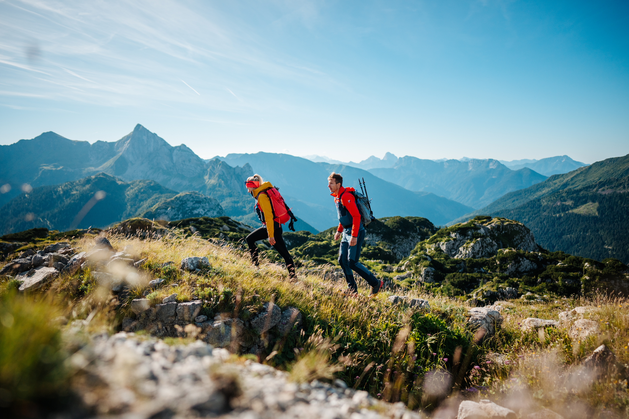
The Milky Way on the Carnic High Route – hiking the alpine cheese dairies
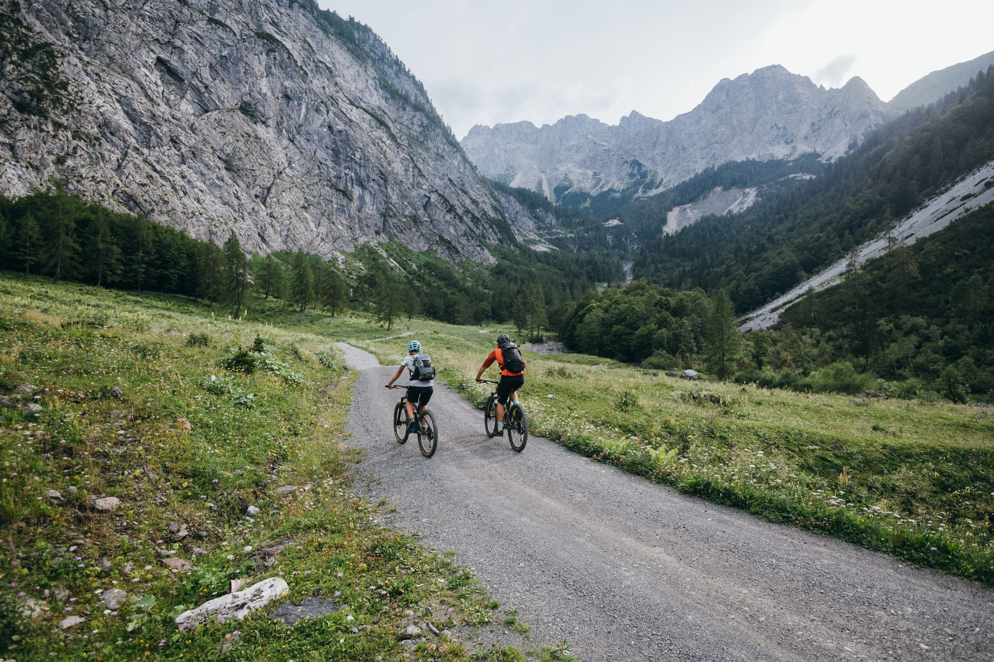
Limitless MTB fun between mountains, lakes and trails

Magnificent mountain biking on Austria's alpine pastures
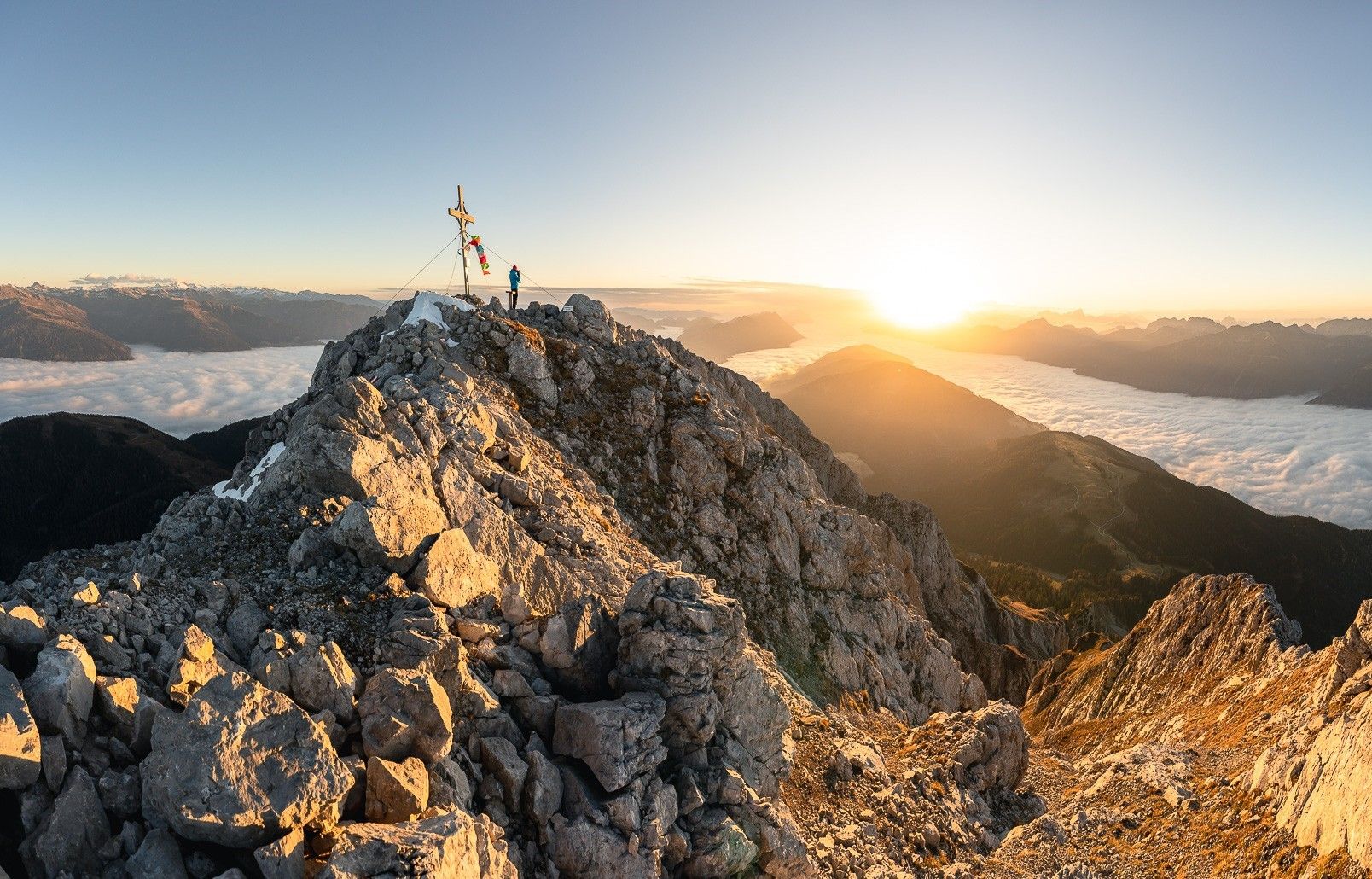
ガイルタール高原道路で高く
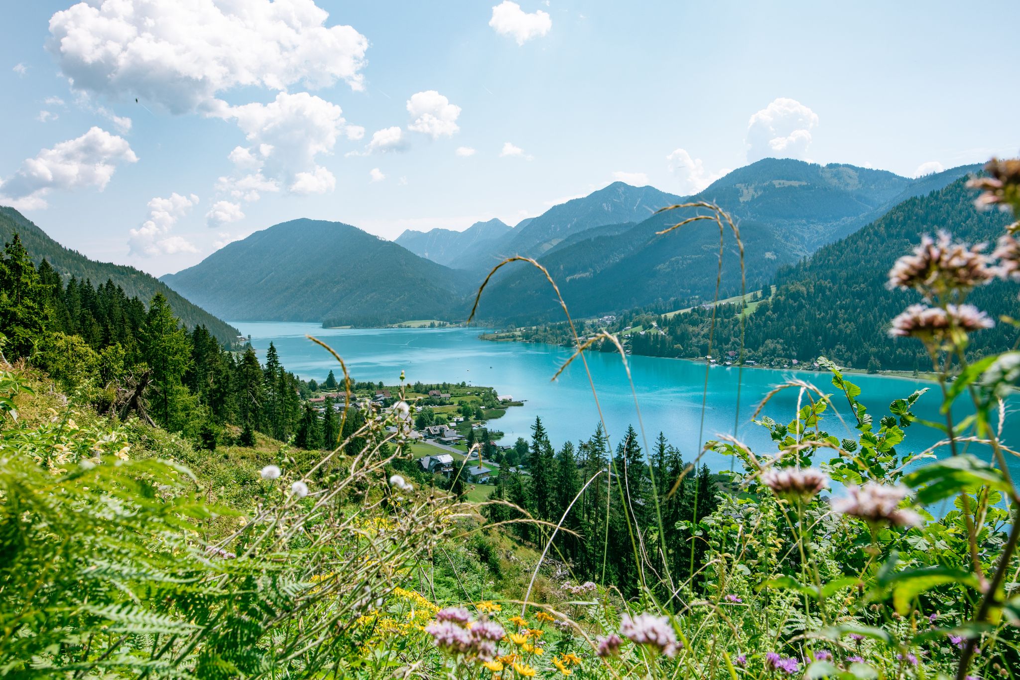
楽しみと高度 - ワイスンゼエ湖畔をハイキング
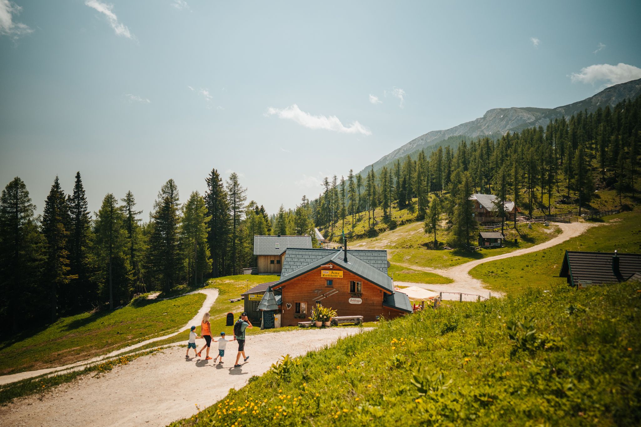
Auszeit auf der Alm – Wandern zu Kärntens schönsten Hütten
キルヒバッハのMTBトレイル
キルヒバッハでのハイキング
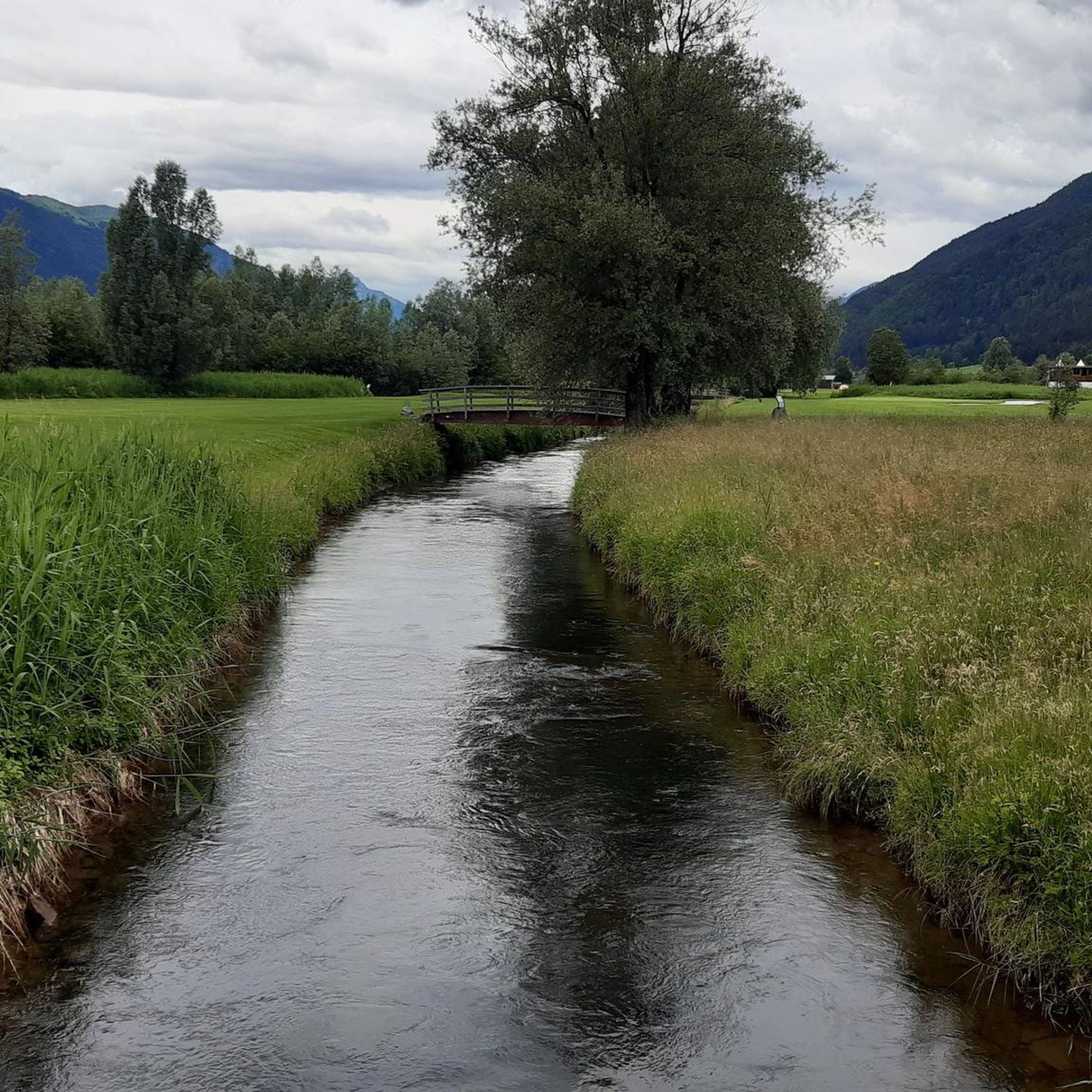
キルヒバッハでのサイクリング
キルヒバッハでのの他の冒険


コミュニティからのヒント

村の井戸は村の真ん中にあり、すぐ隣には木陰を提供する木々とベンチがあります。休憩やリフレッシュ、給水ポイントとして最適な場所です。
0
0
オーストリア/イタリア国境沿いにある、非常に印象的で効果的な山岳湖。砂利道で周回でき、水面に美しい反射がたくさん見られます。湖の周りには木製のベンチやデイベッドも設置されており、くつろぐのに最適です。
0
0
素晴らしい山小屋で、レストランと多くの利点があるアルムエリアがあります。一方では舗装道路でアクセスでき、もう一方ではGartnerkofelの麓にある貯水池のそばにあり、周囲には周回ウォーキングトレイルがあります。
0
0


…the Nassfeld Chapel is located very close to the border!
1
0
Nassfeld is a beautiful hiking area on the Carnic Main Ridge, a saddle between the Austrian Gail Valley and the Italian Canal Valley. The pass is at an altitude of 1530 m above sea level, and the surrounding mountains include the Gartnerkofel (2195 m), the Rosskofel (2239 m), and the Trogkofel (2280 m). For flower lovers, the Gartnerkofel is a must! The Kuhtritt, a rare and endemic mountain flower, can be found here! For culinary delights, there are several beautiful huts and interesting restaurants to discover! 😋
3
0
Nassfeld is a beautiful hiking area on the Carnic Main Ridge, a saddle between the Austrian Gail Valley and the Italian Canal Valley. The pass is at an altitude of 1530 m above sea level, and the surrounding mountains include the Gartnerkofel (2195 m), the Rosskofel (2239 m), and the Trogkofel (2280 m). For flower lovers, the Gartnerkofel is a must! The Kuhtritt, a rare and endemic mountain flower, can be found here! For culinary delights, there are several beautiful huts and interesting restaurants to discover! 😋
3
0

Great climb and some hairpin bends!
0
0

komootモバイルアプリでインスピレーションを得よう


さらに探索
他の地域の最高のロードサイクリングルートを見てみましょう。
