アリッツァーノの峠・トップ5
風景を楽しんだり、上りや下りを満喫したり、峠には楽しみ方がたくさんあります。アリッツァーノの素晴らしい峠の一覧を参照して、思い出に残るアドベンチャーに出かけましょう。コミュニティのメンバーがコミュニティのために投稿した峠のハイライトは、他のユーザーが実際におすすめする情報なので、どれも信頼できるものです。気に入った峠にさっそく向かってみましょう。
最終更新日: 8月 19, 2026
クヴィニョーネ峠
ハイライト • 山道
翻訳者 Google •
役立つ情報 は

カドルナ道路の始点(モリッソロ山のトンネル方面)
ハイライト • トレイル
翻訳者 Google •
役立つ情報 は

今すぐサインアップして、こんな場所を発見しよう
最高のシングルトラック、ピーク、その他のエキサイティングなアウトドアスポットのおすすめを受け取ろう。
無料新規登録
Passo Folungo
ハイライト • 山道
翻訳者 Google •
役立つ情報 は

ヴァル・グランデからのアルプスの眺め
ハイライト • 展望台
翻訳者 Google •
役立つ情報 は

無料アカウントで今日から始めよう
次の冒険が待っています。
ログインまたは登録


コミュニティからのヒント

Passo S. Antonio Vararo / Cuvignone 1.036 m 標高1.036メートルの峠 南から:Cittiglio 北へ:Porto Valtravaglia 約200のヘアピンカーブ(アスファルト) Strada Provinciale 8 https://stradedamoto.it/strade.asp?RicPas=4281
3
0
モンテ・クヴィニョーネ峠 Via Vararo、チットリオ / カステルヴェッカーナ VA クヴィニョーネ峠(海抜1,036m)は、ヴァレーゼ地方のヴァルクヴィーニャとルイーネーゼの間にあるヴァラーロ近くの峠です。 サイクリングでは、様々な方向から登ることができる(チットリオまたはカステルヴェッカーナから直接、またはサント・アントニオに登った後、またはサン・ミケーレ峠を越えた後に間接的に)挑戦的な上り坂で知られています。アルフレード・ビンダー(地元出身)の時代からトレーニングに使用されており、特にテクニカルで挑戦的な下り坂を提供しています。イヴァン・バッソもそこでトレーニングしました。 この峠は自動車界でも有名で、80年代から「ACI Varese Rally」の最も選択的な区間であり、現在は「ラリー・デイ・ラーゴ」となっています。自動車レースと同様に、自転車レースでも全方向から走行され、どの方向から走行しても、速い区間、遅いが非常にテクニカルな区間、狭いヘアピンカーブのアップダウンで構成される難易度で常に際立っていました。すべて主催者の裁量で約12/14kmの長さです。 テキスト / 出典: wikipedia.org/wiki/Passo_del_Cuvignone https://it.wikipedia.org/wiki/Passo_del_Cuvignone
2
0

a classic from the Varese area. It's worth it.
2
0

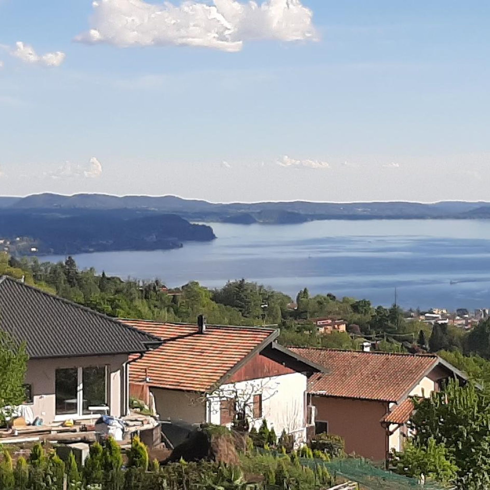
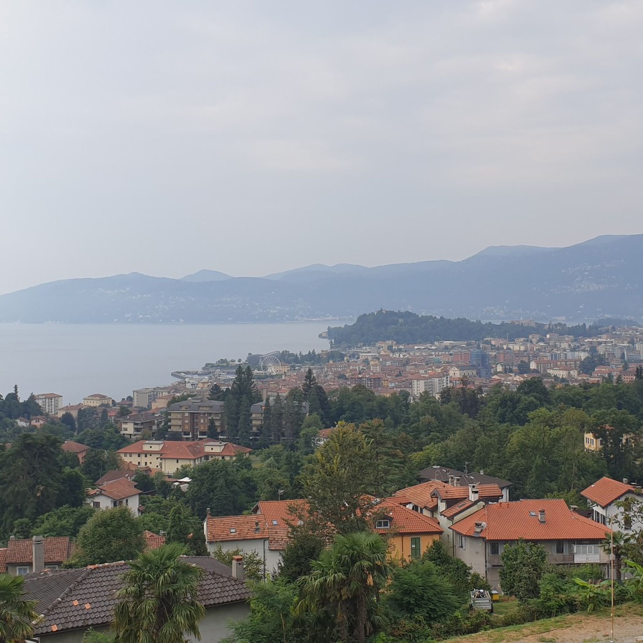
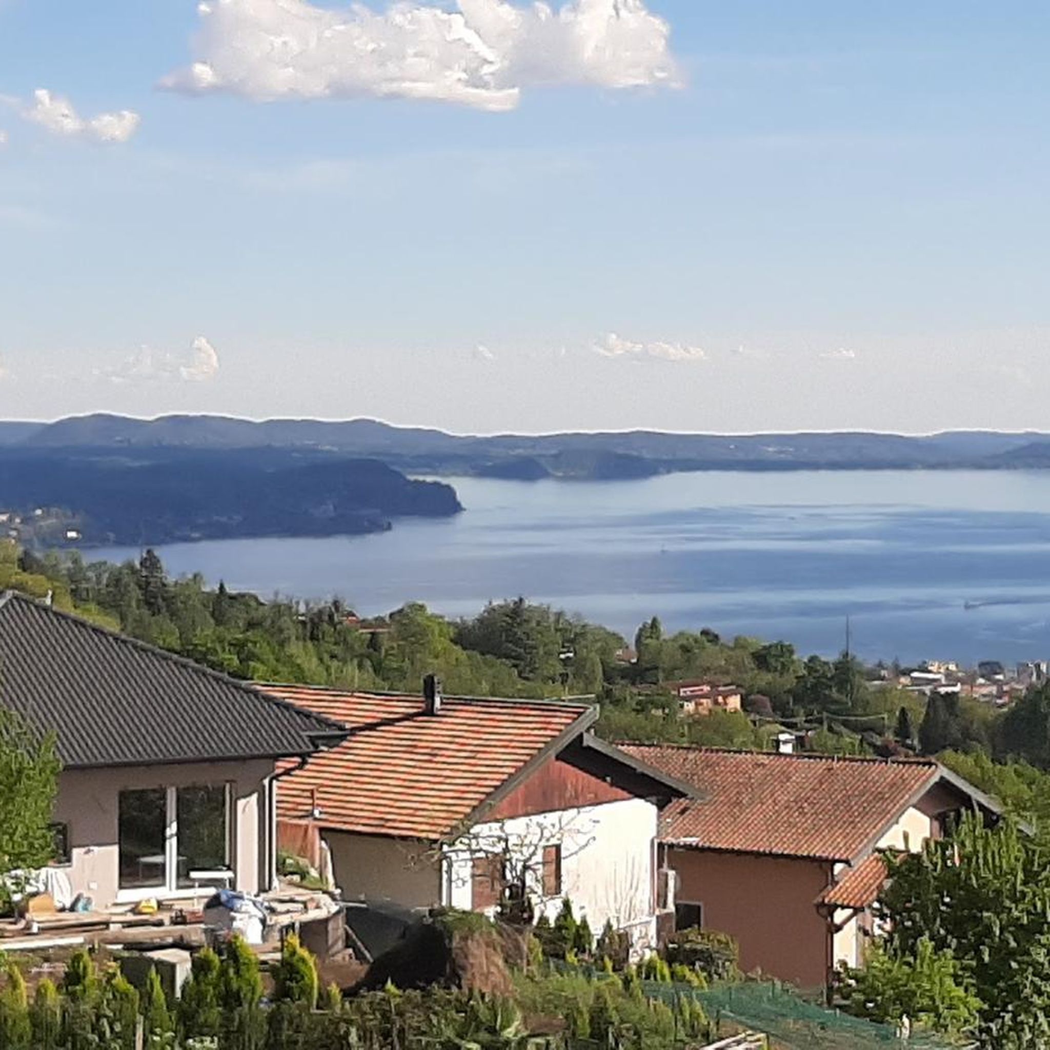
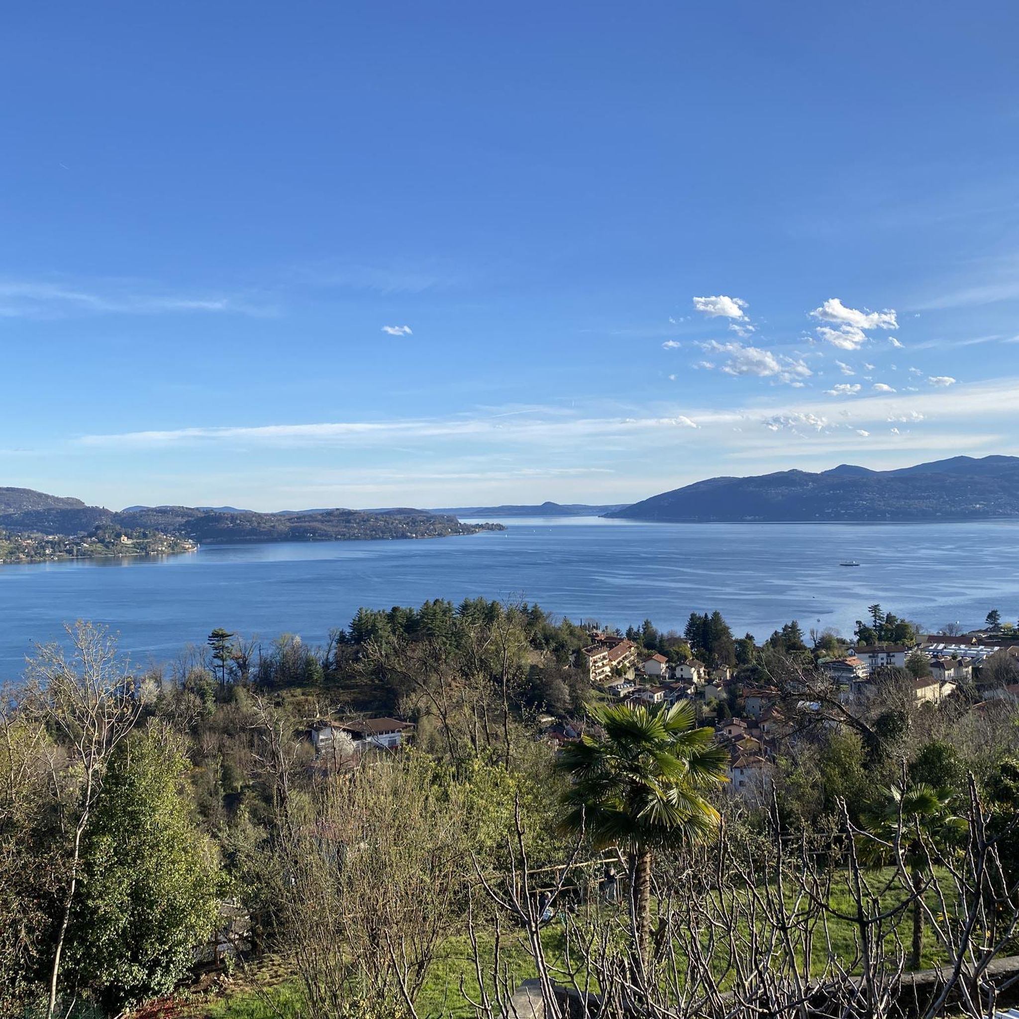
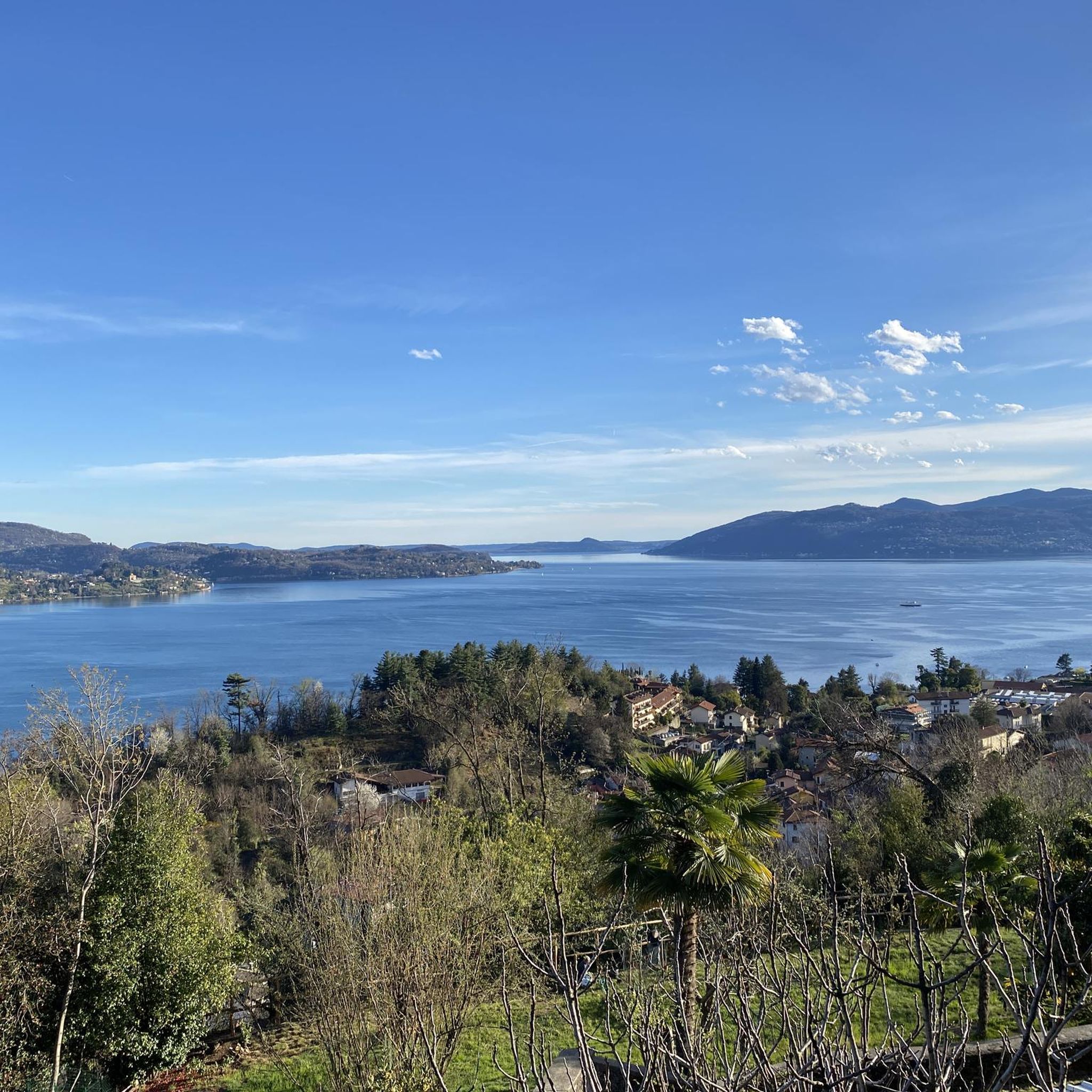
Entrance to the panoramic military road. This runs at a height of about 1250 meters and thus about 1000 meters above Lake Maggiore. Therefore, when the weather is good, there are fantastic views of the lake.
1
0

A beautiful climb leads to this pass, which is very famous among bikers in the area and also beautiful for a nice cycling trip. There are no views from the pass, but the two roads that lead to it are very scenic with views of the lakes!
2
0

The Cuvignone pass, located at an altitude of 1,050 meters, connects Valcuvia with Luinese. This pass can be reached from three different sides: the most famous is the one that starts from Cittiglio, the town where Alfredo Binda was born. Various hiking trails start from the pass that allow you to admire Lake Maggiore.
3
1

The road from Cittiglio to Passo Cuvignone has a few strips where the asphalt has been scraped out. It's totally doable on the bike but you have to take it easy not to damage your front wheel. Some short parts are 16-17%, according to my Garmin. During the descent towards San Michele you have to look out as there are many small rocks/stones on the road, as well as some twigs here and there. Great ride though, partially forest with some great views.
1
1

Super panoramic road over Lake Maggiore
1
0

komootモバイルアプリでインスピレーションを得よう


さらに探索
これらのガイドでさらに壮大な山道を見てみましょうアリッツァーノでの:
