オーバードラウブルクの峠・トップ12
風景を楽しんだり、上りや下りを満喫したり、峠には楽しみ方がたくさんあります。オーバードラウブルクの素晴らしい峠の一覧を参照して、思い出に残るアドベンチャーに出かけましょう。コミュニティのメンバーがコミュニティのために投稿した峠のハイライトは、他のユーザーが実際におすすめする情報なので、どれも信頼できるものです。気に入った峠にさっそく向かってみましょう。
最終更新日: 10月 13, 2026
ケルシュバウマー・トール峠
ハイライト • 山道
翻訳者 Google •
役立つ情報 は

ガイルベルクザッテル峠
ハイライト • 山道
翻訳者 Google •
役立つ情報 は

今すぐサインアップして、こんな場所を発見しよう
最高のシングルトラック、ピーク、その他のエキサイティングなアウトドアスポットのおすすめを受け取ろう。
イーゼルスベルク峠
ハイライト • 山道
翻訳を表示中
役立つ情報 は

オーバードラウブルクからガイルベルクザッテルへの北側登り
ハイライト (セグメント) • 山道
翻訳者 Google •
役立つ情報 は

ケッチャッハ=マウテンからのプルッケン峠北側登り
ハイライト (セグメント) • 山道
kaernten.orf.at/stories/3247564
翻訳者 Google •
役立つ情報 は

無料でサインアップして、さらに多くの山道を発見しましょう オーバードラウブルクでの。
すでにアカウントをお持ちですか?
無料アカウントで今日から始めよう
次の冒険が待っています。
オーバードラウブルク周辺で人気
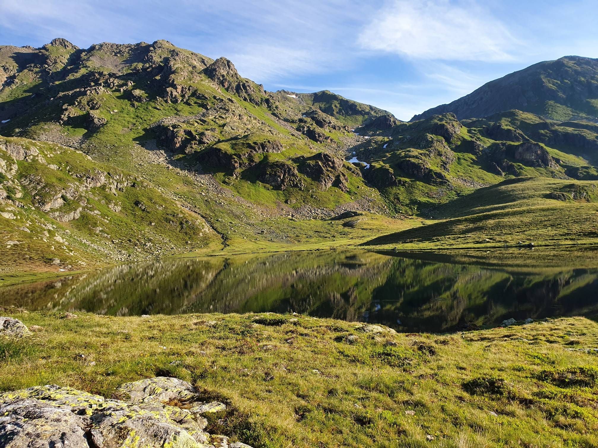
南オーストリアアルプスの遠い山路をハイキング — Kreuzeck Trail

Magnificent mountain biking on Austria's alpine pastures
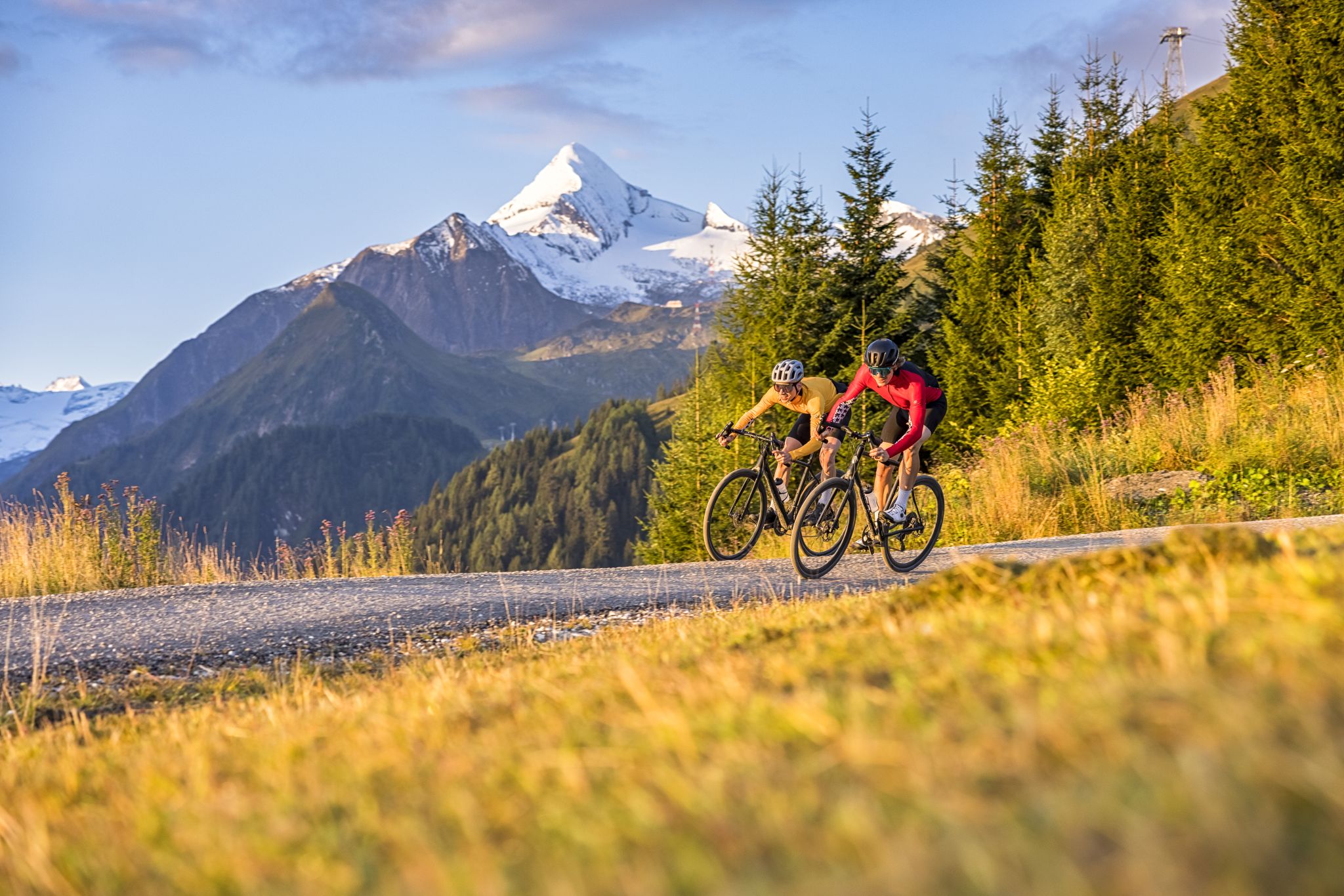
Graveltour SalzburgerLand: The Hard
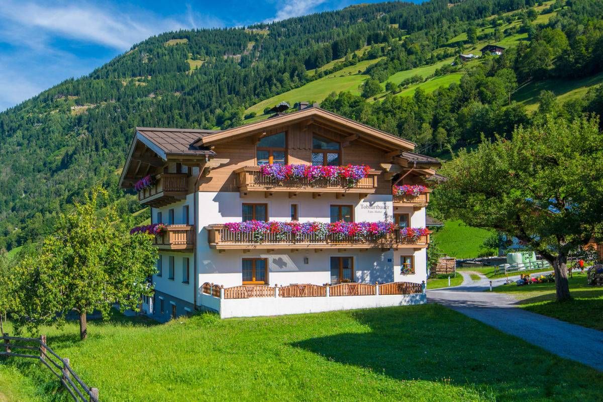
Sun, mountains, bathing fun – an active vacation on Austria's Farms
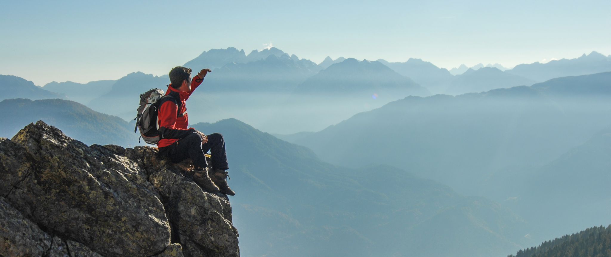
Peaks and gorges in the Hohe Tauern
オーバードラウブルクのロードバイクルート
オーバードラウブルクでのハイキング
オーバードラウブルクでの登山&山歩き
オーバードラウブルクのMTBトレイル
オーバードラウブルクでのサイクリング
オーバードラウブルクでのの他の冒険


コミュニティからのヒント

scenically beautiful transition from the Karlsbader Hütte to the Kerschbaumer Alm
0
0

The northern ascent of the Plöcken Pass is very straight. At the bottom, on new asphalt (as of 08/2024), the first 2.5km go up quickly with three bends and a steep incline, before the next 4.5km lead more straight along the slope. A long U-bend follows along the war cemetery, which ends in the first, longer gallery passage. The gallery is open to the valley so that enough light comes in and you can see something even without light. Coming out of this passage, three bends quickly increase the altitude again before the gradient becomes a little gentler and leads past a hiker's parking lot and a closed restaurant. Then the most disgusting part of the pass begins: a long passage of 1.4km with a dark, poorly lit tunnel (make sure you take a light with you, otherwise you will feel very uncomfortable) that ends just before the pass. That's it. There is no good view of Austria at the top, but there is of Italy. At the time of the trip, the exit to Italy was still closed due to a landslide.
0
0
Nice thing! Lots of bends and a consistent gradient mean that once you've found your rhythm, you can just wind your way up the hill and conquer the hill very quickly. In my experience, it's also good for a 20-minute test if you want to do one on the hill. The only thing that makes the situation a little less pleasant is the fact that the transit character means there's a lot of traffic - especially trucks.
1
0
Connecting saddle between Oberdrauburg and Kötschach-Mauthen. Coming from the north, a beautiful climb where you can really let off steam, with various bends and longer straight sections; coming from the south, it's rather unspectacular. The type of mountain also leads to increased traffic. So it's better not to go at rush hour or during travel times, but rather early or late.
0
0

Very nice cycle path with good asphalt and a great panorama.
0
0

The ascent from the north side is especially recommended!
1
0

Attention! Closed in 2024 due to landslide. Alternatively via Nassfeld to Friuli. https://kaernten.orf.at/stories/3247564/
0
0

Großglockner-Hochalpenstraßeを走った後では、この峠はあまりにも地味でした。B107は交通量が多いので、上り坂では古いIselsbergstraßeをお勧めします。
7
1
オーバードラウブルクでのの人気観光スポット

komootモバイルアプリでインスピレーションを得よう


さらに探索
これらのガイドでさらに壮大な山道を見てみましょうオーバードラウブルクでの:
