サンタルピニアンのおすすめランニングルート
4.7
(8)
101
ランナー
27
ランニング
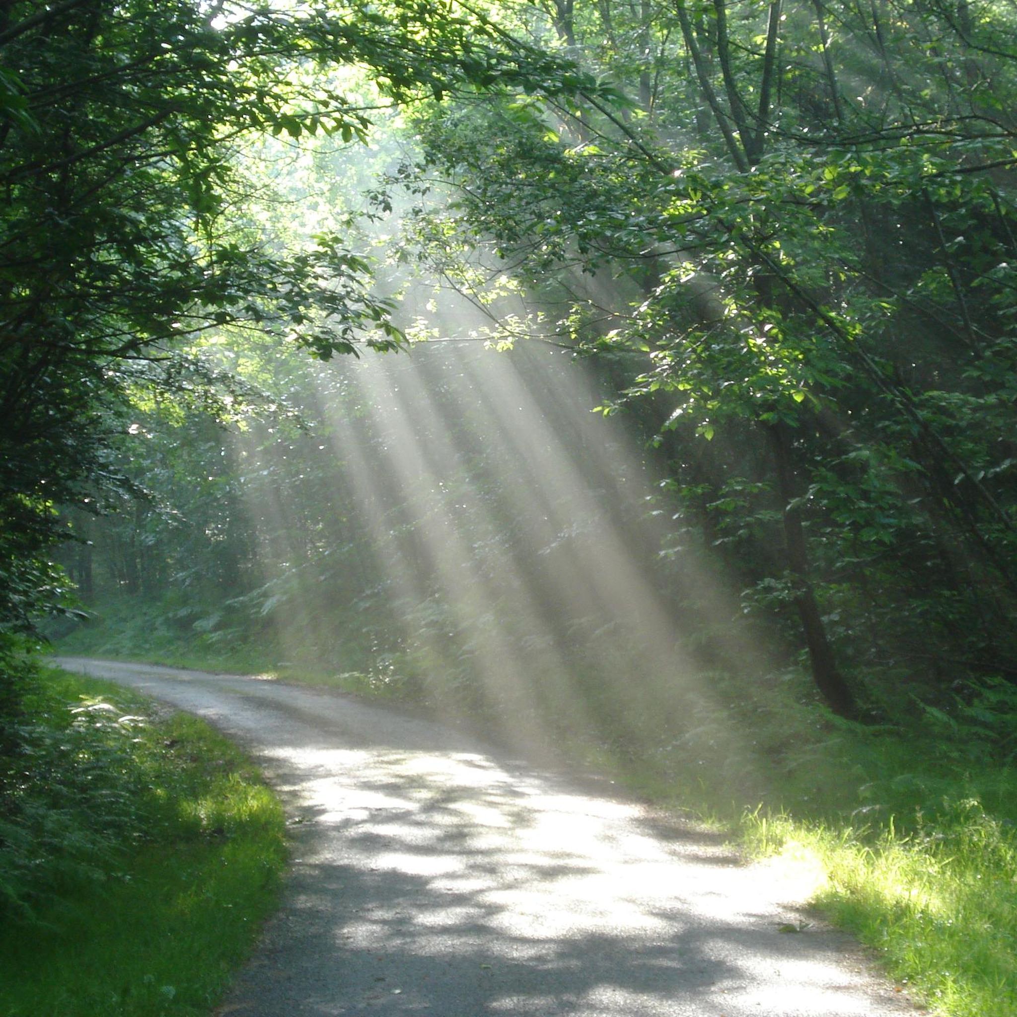
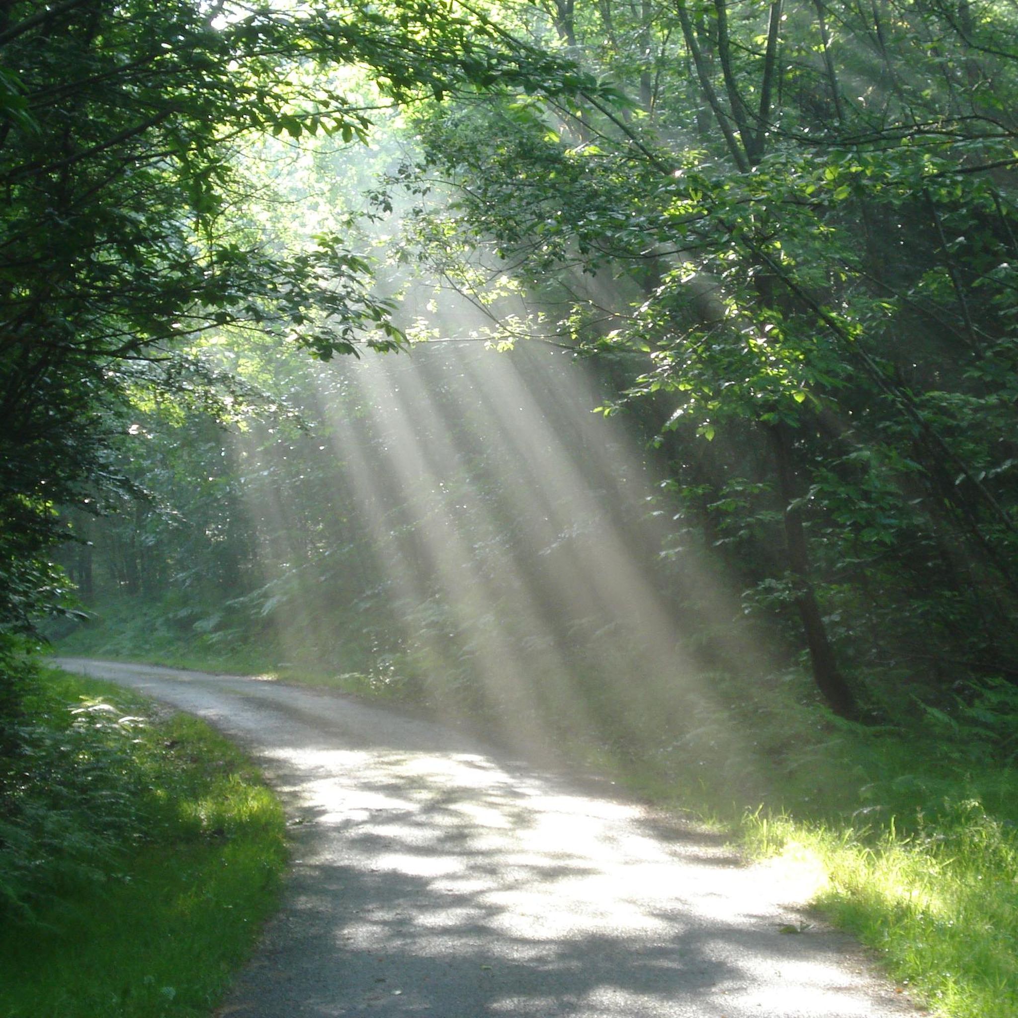
ジョギングルートはサン・アルピニアン周辺の、フランス、ヌーヴェル=アキテーヌ地域圏クルーズ県の多様な自然景観へのアクセスを提供します。標高536メートルから674メートルの間にあるこの地域は、カラマツやカバの森、荒野、沼地、湖など、変化に富んだ地形が特徴です。この自然環境は、川の谷から開けた田園地帯まで、さまざまな好みに合わせたランニングコースを提供します。
サン・アルピニアン周辺のベストジョギングルート
- 最も人気のあるジョギングルートは、オービュソン発ランニングループです。このルートは5.4マイル(8.7km)で、所要時間は1時間1分です。この適度な難易度のルートは、地元の田園地帯を抜ける上り坂と下り坂が組み合わさっています。
- 地元のランナーに人気のもう一つのルートは、テラード橋~オービュソン旧市街ループ(オービュソン発)です。これは3.9マイル(6.2km)の適度な難易度のコースです。このルートからは、オービュソンの歴史的な地区やクルーズ川の景色を楽しめます。
- 地元のランナーに愛されているのは、テラード橋ループ(オービュソン発)です。この4.8マイル(7.7km)のルートは、地元の地形を通り抜け、所要時間は約53分です。
- サン・アルピニアン周辺のジョギングは、その森、川の谷、そして開けた田園地帯によって特徴づけられます。ランニングコースのネットワークは、適度な難易度のループからより挑戦的な長距離ルートまで、さまざまなレベルのランナーに対応しています。
- サン・アルピニアンのルートは、komootコミュニティから高く評価されており、7件のレビューで平均4.7つ星を獲得しています。140人以上のランナーがkomootを利用して、サン・アルピニアンの多様な地形を探索しました。
最終更新日: 11月 1, 2026
19
ランナー
7.66km
00:53
190m
190m
中程度のジョギング. ある程度のフィットネスレベルが必要です。 ほとんどが舗装路です。
11
ランナー
6.13km
00:39
60m
60m
中程度のジョギング. ある程度のフィットネスレベルが必要です。 ほとんどが舗装路です。

5.0
(1)
4
ランナー
6.50km
00:44
130m
130m
中程度のジョギング. ある程度のフィットネスレベルが必要です。 ほとんどが舗装路です。
5.0
(1)
5
ランナー
8.80km
00:55
100m
100m
中程度のジョギング. ある程度のフィットネスレベルが必要です。 ほとんどが舗装路です。
6
ランナー
7.37km
00:48
130m
130m
中程度のジョギング. ある程度のフィットネスレベルが必要です。 ほとんどが舗装路です。
さらに多くのルートや他のユーザーのおすすめ情報を確認できます。
すでにアカウントをお持ちですか?
おすすめのツアーは他のkomootユーザーが実際に経験した何千ものアクティビティに基づいています。
無料アカウントで今日から始めよう
次の冒険が待っています。

コミュニティからのヒント

Overcrowded tourist village
0
0

Aubusson boasts several noteworthy buildings from the Middle Ages and more recent times. These include the clock tower from 1579, part of the town's fortifications. Aubusson also has museums dedicated to the production of tapestries and the Jean Lurçat Cultural Centre.
1
0
This old watchtower was integrated into the city's fortifications. Also called the "white tower", it is the last vestige of the enclosure that surrounded Aubusson. It was used to monitor movements in the city. On the facade of the tower, three dials facing the city indicate the time. It is easily recognizable with its pepperpot roof covered in chestnut shingles. It is decorated with a bell decorated with three small bas-reliefs: a mitred bishop.
2
0

This bridge is emblematic of Aubusson. Originally made of wood, it was essential for commercial exchanges on the road from Limoges to Clermont-Ferrand. It was rebuilt with stones from the castle (itself dismantled on the orders of Rochelieu). There remains a castle (from the 15th century) on the left bank, which formerly housed the archers in charge of the defense of the building.
1
0

Be careful if you have to go visit the museum, call before, they can close to the public without warning on the site.
0
0

The Pont de la Terrade in Aubusson was until the 18th century, the only crossing point of the Creuse on the main road leading to Limoges. This passage was gradually abandoned in favor of the later, larger Récollets bridge. Thus the Terrade bridge remains today in a remarkable state of conservation. It has undergone very few modifications related to the development of modern transport. Originally made of wood, it is deployed across the river from a stone pile. Natural rot, bad weather and the importance of the Creuse wines, the bridge became dangerous due to its dilapidated state despite various repairs from the middle of the 16th century. The need for reconstruction is felt. It was replaced by a stone bridge built between 1638 and 1641 with materials from the ruins of the old medieval castle of the first Viscounts of Aubusson, the Chapter. This Huguenot defensive stronghold was destroyed on the orders of Richelieu in 1632. The Pont de la Terrade, property of the town, was listed in the inventory of historical monuments on June 15, 1926. Carefully restored in 2009, this building preserved charm illustrates the typicality of the architecture of Aubusson.
0
0

This tower, which today is a clock, was once a watchtower and was an integral part of the city's fortifications, which have practically disappeared.
3
0

We can see this tower from afar. And she's not that easy to get to. But after many stairs, twists and turns, here I am!
1
0
サンタルピニアンでのの人気観光スポット

komootモバイルアプリでインスピレーションを得よう


さらに探索
他の地域の最高のランニングトレイル & ルートを見てみましょう。
