ポーテージ郡のおすすめMTBライド
14
ライダー
2
ライド
ポーテージ郡でマウンテンバイクを楽しめば、オハイオのこのエリアをより深く知ることができます。このエリアを最大限に満喫できるように、komootがマウンテンバイクルートのコレクション全体を評価して選び抜いた人気ルートをご紹介します。次の冒険にぴったりのマウンテンバイクルートを見つけるには、以下のルートをクリックしてkomootのマウンテンバイクコミュニティのメンバーが投稿した役立つ情報や写真を閲覧し、各ルートに関してみんなが気に入った点などを参考にしましょう。
最終更新日: 8月 31, 2026
2.77km
00:09
10m
0m
Mountain bike the Center Valley Park Trail for an easy and quick ride through a tranquil natural setting. This route covers 1.7 miles (2.8 km) with a gentle elevation gain…
1
ライダー
37.7km
02:01
150m
150m
Embark on a moderate mountain biking adventure along the Bike & Hike Trail Loop, a route that promises a varied ride with delightful dips and rises. You will cover 23.4…

無料新規登録
24.4km
01:16
110m
110m
Enjoy an easy 15.2-mile (24.4 km) mountain bike ride on the paved Freedom Trail through forests and along the Cuyahoga River in Summit Metro
6
ライダー
15.5km
01:05
140m
140m
初級者向けMTBライド. あらゆるフィットネスレベルに適しています。 あらゆるスキルレベルに適しています。
7
ライダー
25.9km
01:31
170m
170m
中程度のマウンテンバイクライド. あらゆるフィットネスレベルに適しています。 高度なライディングスキルが必要です。
おすすめのツアーは他のkomootユーザーが実際に経験した何千ものアクティビティに基づいています。
無料アカウントで今日から始めよう
次の冒険が待っています。
ログインまたは登録



コミュニティからのヒント

From this trailhead you can access several miles of mountain biking trails. The main trail, Lamb Loop runs about 5 miles with some fun curves and mixed terrain. There are a couple other connector trails offering shorter loops or different terrain as well.
0
0

This is a great access point to the Freedom Trail between Kent and Akron. From here you'll have miles of trail to explore and discover new areas that will leave you wanting to return again and again.
1
0

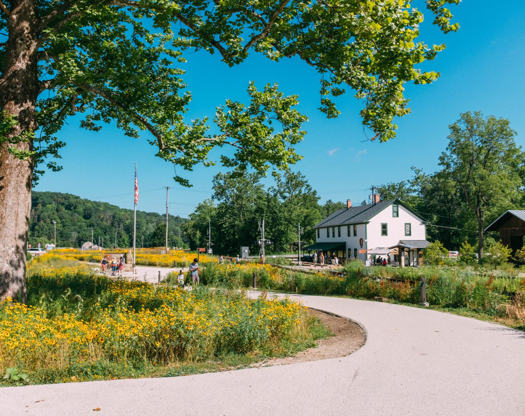
Cuyahoga Valley National Park sits between the cities of Cleveland and Akron along the Cuyahoga River. The park consists of 33,000 acres of deep forests, waterfalls, rolling hills, and farmland.
0
0

At this spot on the Ohio & Erie Canal Townpath Trail, you pass under I-80. You get a truly unique view of the underside of the highway and of the Cuyahoga River.
0
0

great stop along the trail. Refreshments, flush facilities, water
0
0

The Freedom Trail is a 7.5-mile point-to-point trail. It's completely paved and passes over a number of bridges and by a few different parks, making it a great option whether you're riding for exercise or just riding for leisure. The pavement is well-kept and is a great spot for riders of all abilities.
0
0
This is the location of the main trailhead for the Freedom Trail, located at the eastern end of the trail. There are restrooms and a trail kiosk along with plenty of parking. The Portage Hike and Bike Trail also takes off in the other direction on the other side of the road.
0
0
Burst Park sits on the north bank of the Cuyahoga River and features an open-air gazebo, restrooms, and a nearby river overlook.
0
0
ポーテージ郡の人気観光スポット

komootモバイルアプリでインスピレーションを得よう


探していたものは見つかりませんでしたか?
ポーテージ郡の下にある他のMTBトレイルをチェックして、目的地で完璧なルートを見つけましょう。
さらに探索
他の地域の最高のMTBトレイルを見てみましょう。
