ベルンミッテルランドの絶景の山頂・トップ20
絶景を目指して登るのであれ、達成感のために登るのであれ、山頂を訪れることで、ベルンミッテルランドの美しい自然をもっと満喫することができます。20
もの選択肢の中から、制覇する山頂を決めるのは簡単ではありません。スムーズに次の冒険で目指す山頂を選べるように、ベルンミッテルランドの素晴らしい山頂をこのガイドにまとめました。
最終更新日: 10月 9, 2026
バンティガー展望台
ハイライト • 展望台
翻訳者 Google •
役立つ情報 は

ガントリッシュ山頂
ハイライト • 山頂
翻訳者 Google •
役立つ情報 は

今すぐサインアップして、こんな場所を発見しよう
最高のシングルトラック、ピーク、その他のエキサイティングなアウトドアスポットのおすすめを受け取ろう。
Gantrisch Lodge Gurnigel Berghaus
ハイライト • 休憩所
Gurnigel Berghausは、長期の改築を経て、2026年夏に再オープンを祝います。
かつて兵舎だった場所は、アルペンスタイルのシャレーとして生まれ変わり、滞在とリラクゼーションを誘います。
Gurnigel Berghausは全面的に改装されました。多くの素材は、Gstaadにあった旧Park-Hotelから調達されました。新しく改装されたBerghausには、ホテルルーム、スタジオ、ロフト、アパートメントなど、27の居住ユニットがあります。
「夏にはグラベルバイクやバイカー、冬にはスキーヤーやクロスカントリースキーヤー、そして企業やパーティーのお客様をお迎えできることを楽しみにしています。基本的に、Gantrisch地域での提供は、リフレッシュしたい自然愛好家を対象としています。スポーツであれ、リラックスした滞在であれ。」
翻訳を表示中
役立つ情報 は

グルテン展望台
ハイライト • 展望台
翻訳者 Google •
役立つ情報 は

ライテレ峠
ハイライト • 山道
翻訳者 Google •
役立つ情報 は

ウルミツベルク展望塔
ハイライト • 展望台
翻訳者 Google •
役立つ情報 は

モルゲテパスの売店
ハイライト • 山道
翻訳者 Google •
役立つ情報 は
Chutze/Belpberg
ハイライト • 山頂
✳️ 見どころと休憩スポット
- Chutzenへの道の上の、12世紀のホーブルク城跡の遺構。
- Chutzenレストラン(標高887メートル)は、展望ポイントのすぐそばにあります。郷土料理、アルプスの景色を望むテラス、通常水曜日から日曜日まで午後10時まで営業しています。
- ハンガリーの自由への願いを記念して、最高地点に控えめに設置されたジョン・F・ケネディの記念碑。
翻訳を表示中
役立つ情報 は

ビュルゲル山頂(2,165 m)
ハイライト • 山頂
翻訳者 Google •
役立つ情報 は
ガントリッシュのヴィアフェラータへの分岐
ハイライト • 登山
翻訳者 Google •
役立つ情報 は

無料でサインアップして、さらに多くの山を発見しましょう ベルンミッテルランドでの。
すでにアカウントをお持ちですか?
無料アカウントで今日から始めよう
次の冒険が待っています。
ベルンミッテルランド周辺で人気
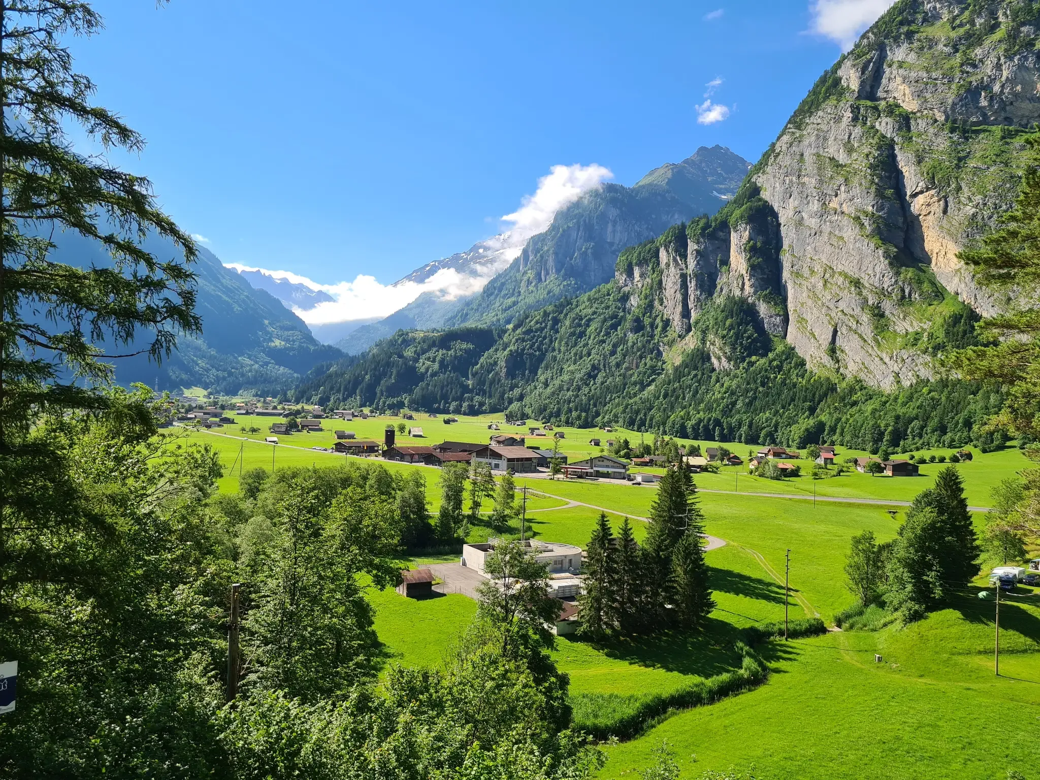
スイスが提供するすべて - アーレルート
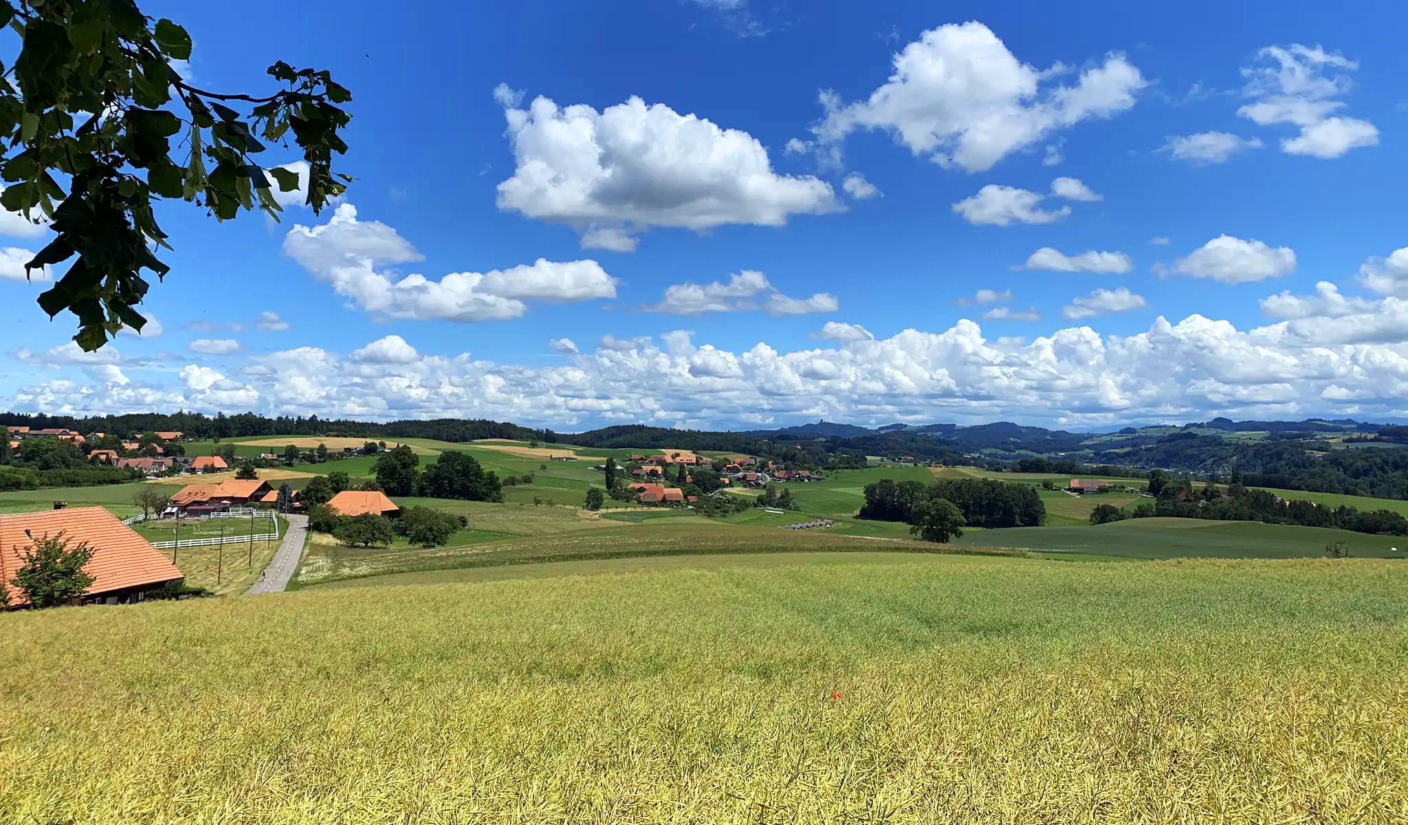
イディリックなスイスのミッテルランドでサイクリング - 古いベルンの道

山へ視線を向けてください - スイスのアルペンパノラマトレイル

スイスを横断するトランススイストレイルでハイキング
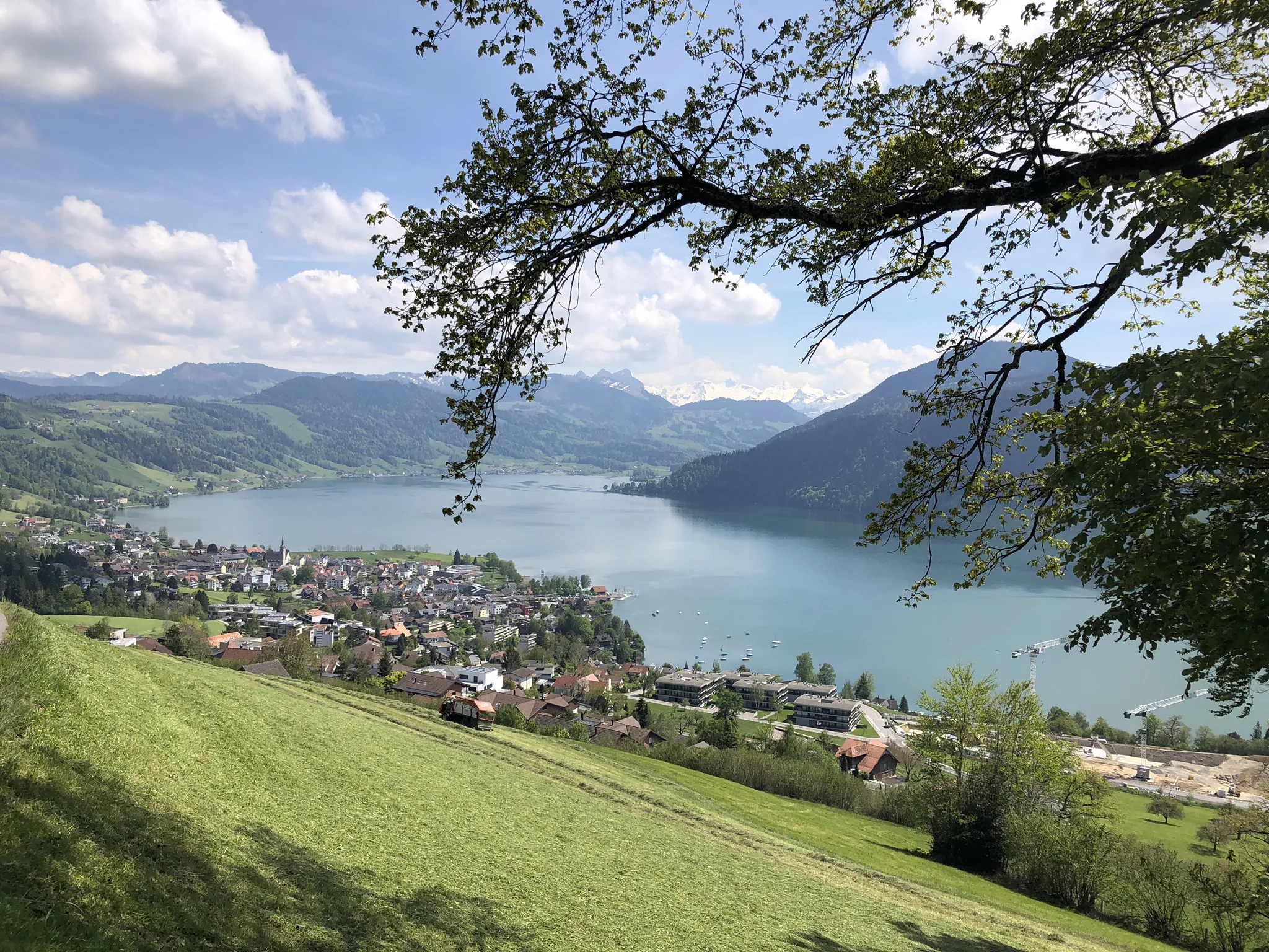
スイスの心臓を通るサイクリング - ヘルツルート

Following the Way of St James across Switzerland – Via Jacobi
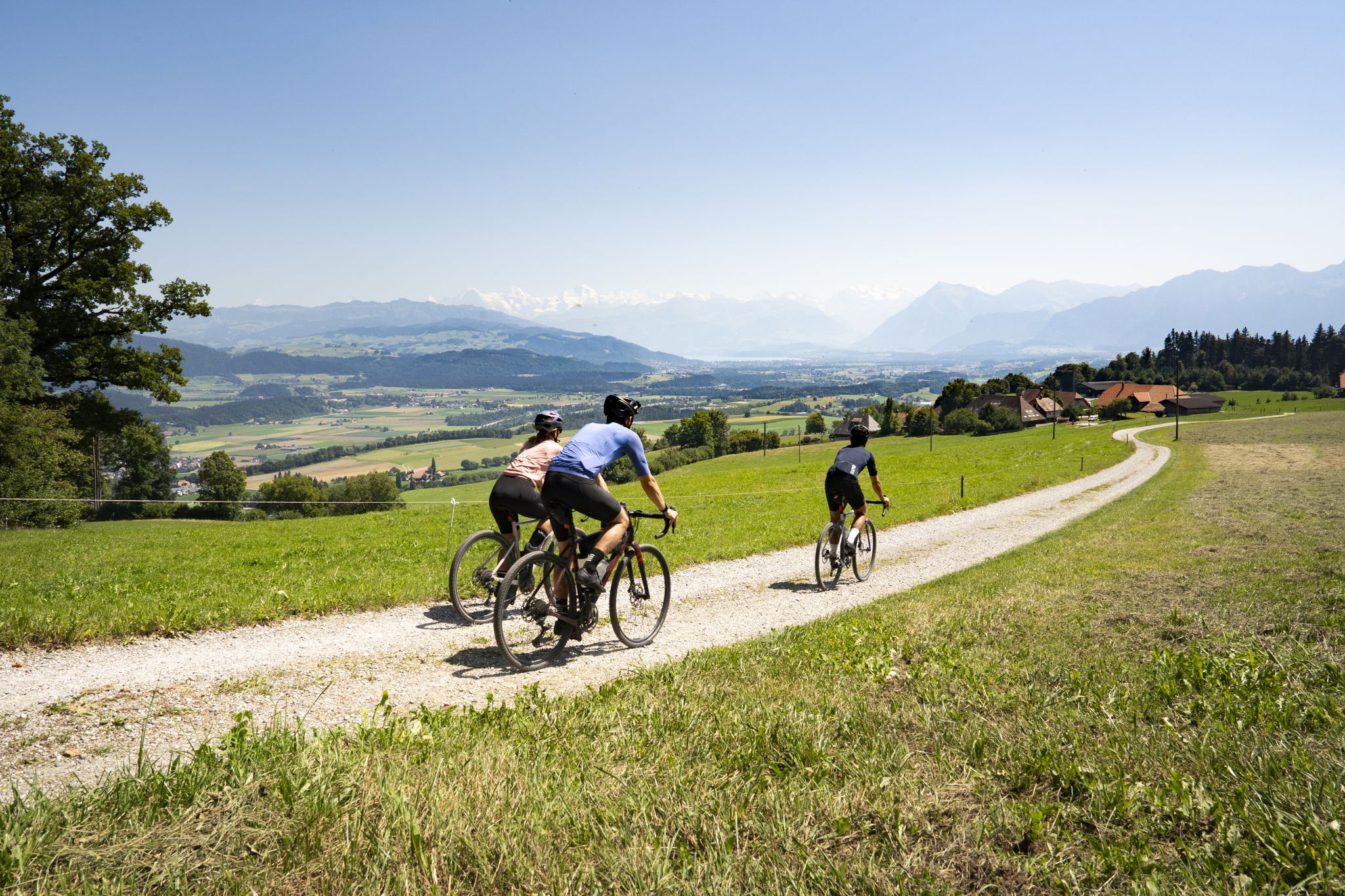
Gravel roads and Alpine views – gravel riding in the Gantrisch Nature Park
Gravel-Touren mitten in der Schweiz – die aussichtsreichsten Routen in Bern
Every cycling trip is a little holiday – bike to work Challenge 2026
E-Bikeファーレンイムヘルツェンデースチュワイツ–デートップ10ルーテンインBern
ベルンミッテルランドでのの他の冒険


コミュニティからのヒント

*** 2026年8月1日に再オープン *** Gurnigel Berghausは、長期の改築を経て、2026年夏に再オープンを祝います。 かつて兵舎だった場所は、アルペンスタイルのシャレーとして生まれ変わり、滞在とリラクゼーションを誘います。 Gurnigel Berghausは全面的に改装されました。多くの素材は、Gstaadにあった旧Park-Hotelから調達されました。新しく改装されたBerghausには、ホテルルーム、スタジオ、ロフト、アパートメントなど、27の居住ユニットがあります。 「夏にはグラベルバイクやバイカー、冬にはスキーヤーやクロスカントリースキーヤー、そして企業やパーティーのお客様をお迎えできることを楽しみにしています。基本的に、Gantrisch地域での提供は、リフレッシュしたい自然愛好家を対象としています。スポーツであれ、リラックスした滞在であれ。」
1
0

Chutzeは、アーレ川とギュルベ川の間の11キロメートルにわたる尾根、ベルプベルクの最高地点を示しています。控えめな標高(892メートル)にもかかわらず、ベルナーアルプス、エムメンタール、ジュラ山脈、そしてしばしばアーレタールまで、驚異的な360°のパノラマビューを提供しています。 ✳️ 見どころと休憩スポット - Chutzenへの道の上の、12世紀のホーブルク城跡の遺構。 - Chutzenレストラン(標高887メートル)は、展望ポイントのすぐそばにあります。郷土料理、アルプスの景色を望むテラス、通常水曜日から日曜日まで午後10時まで営業しています。 - ハンガリーの自由への願いを記念して、最高地点に控えめに設置されたジョン・F・ケネディの記念碑。
1
0

It's always nice to cross passes that offer new vistas and allow you to step from one world into another. The Leitere Pass is one of those. Coming from Stockhort, you've got the last few meters of the tour to Gurnigel ahead of you, and you can perhaps look forward to a glass of milk or a cheese at Nünenealp. Or you're on your way toward Stockhorn and see the varied trail via Hohmad, Chatz & Mus, and Walalp for the first time. Yes, it is a beautiful place.
1
0
An alpine via ferrata for sporty climbers. The Gantrisch via ferrata leads over the imposing north flank directly to the striking summit ⛰️💪. Challenging, but with rewarding views! Difficulty: 🔸 C/D (moderate to difficult) 🔸 Airy, steep & exposed – not for beginners! 🔸 Very well secured with wire ropes, footrests & clamps Approach: From the Berghaus Gurnigel or the Obernünenen parking lot, it's about 30-40 minutes to the start at approximately 1,900 m. Via ferrata: The climb takes about 1-1.5 hours, with exciting traverses, vertical ascents, and spectacular views. After the exit, a short summit climb to the Gantrisch (2,175 m). Descent: Return to the Gantrisch Hut/Gurnigel via the normal hiking trail. Equipment: ▪️ Via Ferrata Set 🧷 ▪️ Helmet ⛑️ ▪️ Harness, Gloves ▪️ Sturdy Mountain Boots 🥾 ▪️ Water & Food 💧🥪
4
0

Here the path branches off to the belay point of the via ferrata.
7
1

Great all-round view in all directions
1
0

A very worthwhile summit with a great view that you have to work hard to reach... there is also a climbing route that leads up here... but because of the amazing view you are rarely alone
1
0
From here, numerous worthwhile paths lead off... the further climb up to the Gantrisch summit is very worthwhile
2
0
ベルンミッテルランドでのの人気ルート
ベルンミッテルランドでのの人気観光スポット

komootモバイルアプリでインスピレーションを得よう


探していたものは見つかりませんでしたか?
ベルンミッテルランドの最高の山や頂上を地域ごとに発見しましょう:
