ヴォルフスブルク-ウンケローダの絶景の山頂・トップ16
絶景を目指して登るのであれ、達成感のために登るのであれ、山頂を訪れることで、ヴォルフスブルク-ウンケローダの美しい自然をもっと満喫することができます。16
もの選択肢の中から、制覇する山頂を決めるのは簡単ではありません。スムーズに次の冒険で目指す山頂を選べるように、ヴォルフスブルク-ウンケローダの素晴らしい山頂をこのガイドにまとめました。
最終更新日: 9月 13, 2026
ヴァルトブルク城
ハイライト • 城
翻訳を表示中
役立つ情報 は

Großer Drachensteinのオークと展望スポット
ハイライト • 展望台
翻訳者 Google •
役立つ情報 は

今すぐサインアップして、こんな場所を発見しよう
最高のシングルトラック、ピーク、その他のエキサイティングなアウトドアスポットのおすすめを受け取ろう。
ヴァルトブルク城の眺め
ハイライト • 展望台
翻訳者 Google •
役立つ情報 は

ミルメスベルク山頂(461m)
ハイライト • 山頂
翻訳者 Google •
役立つ情報 は

フランツォーゼンコップ山頂(446m)
ハイライト • 山頂
翻訳者 Google •
役立つ情報 は

無料でサインアップして、さらに多くの山を発見しましょう ヴォルフスブルク-ウンケローダでの。
すでにアカウントをお持ちですか?
無料アカウントで今日から始めよう
次の冒険が待っています。
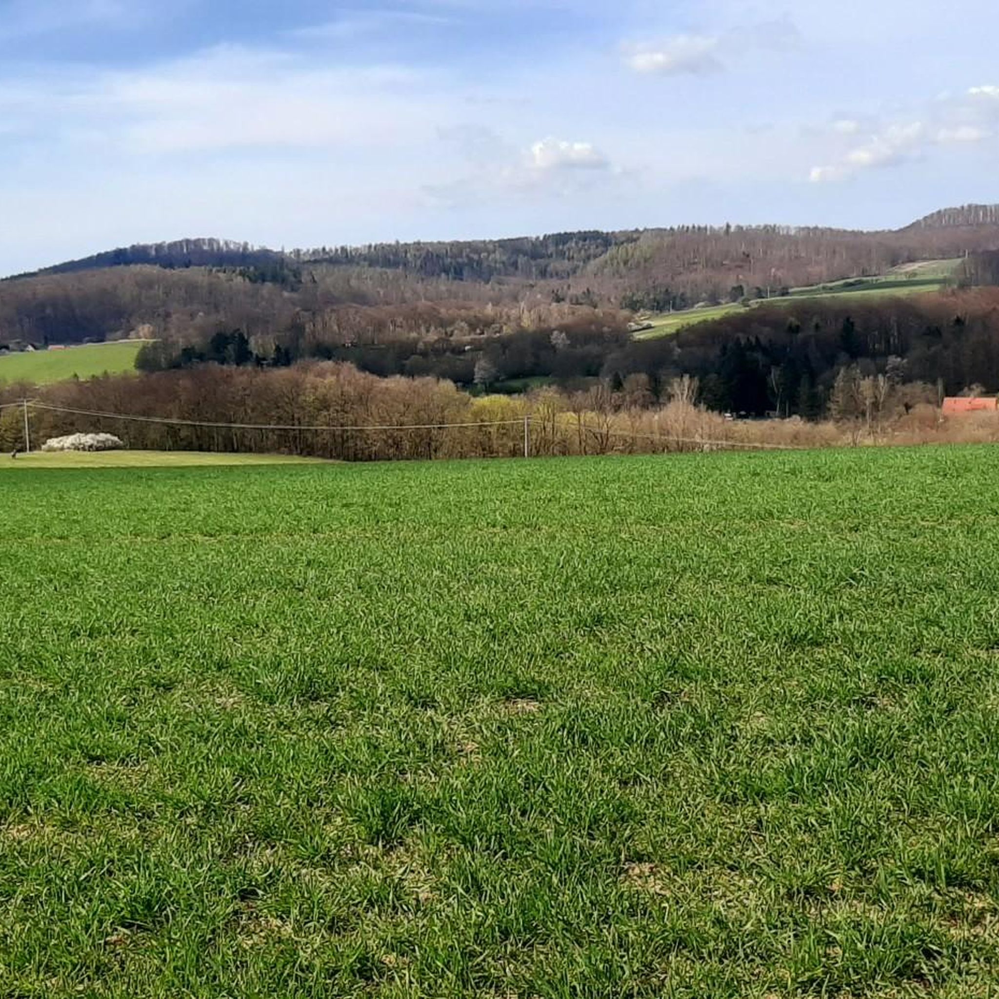
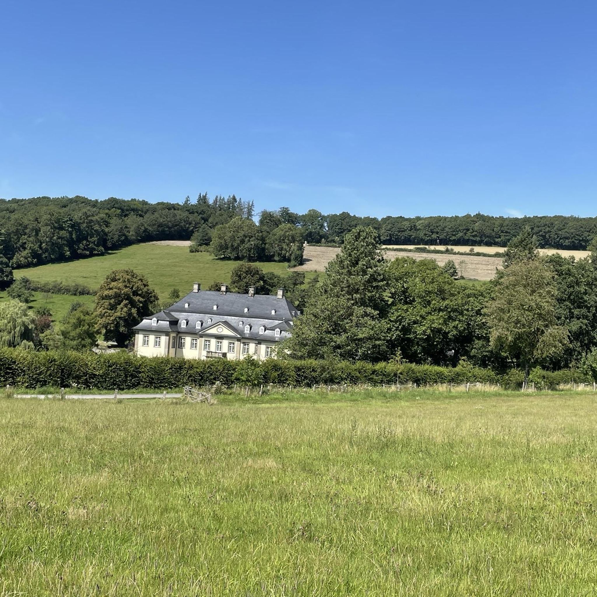
コミュニティからのヒント


For centuries, the Hessian-Thuringian state border has run across the summit region of the Kielforst, with a section of border stones dating back to the 16th century. During the Cold War, it was part of the former inner-German border; however, its death strip ran about 500 m east of the summit region; only a narrow border control path was built along the current border.
1
1

The Drachenstein offers a wonderful view towards Inselsberg and Hörselberg. It is located on the wine route between “Hohe Sonne” and “Mosbacher Linde”.
21
1

The Milmesberg offers an excellent view of the northwestern Thuringian Forest and the Vorderrhön. In direct view of the Wartburg, it almost became a "victim" of a wind farm. The citizens' initiative and the community were able to prevent this. In an old Eckardtshäuser land register (Thuringian State Archives Weimar), made in 1692 by the teacher Georg Bärenklau, the Milmesberg is still called Wilmsberg. During a new survey of the Grand Duchy of Saxony-Weimar-Eisenach (1898) by the Royal Prussian State Survey of Berlin, the Milmesberg and its height were also redetermined (461.4 m). A trigonometric point (small wooden pyramid) was built at the highest point in the field of the then owner Gustav Niebergall. He was told not to damage the pyramid, for which he received three marks a year in rent. (…from information board)
0
0

Beautiful view of “Monte Cali” and the Wartburg.
0
0

Great view from Monte Kali over the Hoher Meißner to the Wartburg.
0
0

Fantastic view of the Wartburg.
10
0
ヴォルフスブルク-ウンケローダでのの人気観光スポット

komootモバイルアプリでインスピレーションを得よう


さらに探索
これらのガイドでさらに素晴らしい頂上を見てみましょうヴォルフスブルク-ウンケローダでの:
