ナルボンヌの湖・トップ20
次の冒険でナルボンヌの素晴らしい湖を訪れてみませんか?湖畔の穏やかな雰囲気や、天気が良い日のひと泳ぎは格別です。komootコミュニティがおすすめするナルボンヌの素晴らしい湖の一覧を参考にして、次の冒険では湖をもっと満喫しましょう。
最終更新日: 8月 29, 2026
グリュイサンのエタン
ハイライト • 湖
翻訳者 Google •
役立つ情報 は

ゴフル・ドゥ・ウイユ・ドゥ
ハイライト • 湖
翻訳者 Google •
役立つ情報 は

今すぐサインアップして、こんな場所を発見しよう
最高のシングルトラック、ピーク、その他のエキサイティングなアウトドアスポットのおすすめを受け取ろう。
無料新規登録
カナル・ド・ラ・ロビン経由 サント=リュシー島
ハイライト • トレイル
翻訳者 Google •
役立つ情報 は

エタン・ド・グリュイサン
ハイライト • 湖
翻訳者 Google •
役立つ情報 は

エタン・ド・グリュイサン沿いの遊歩道
ハイライト • トレイル
翻訳者 Google •
役立つ情報 は
エタン・ド・ピスヴァッシュ
ハイライト • 湖
翻訳者 Google •
役立つ情報 は
翻訳者 Google •
役立つ情報 は

ルカットの潟
ハイライト • 湖
翻訳者 Google •
役立つ情報 は
グリュイサン潟
ハイライト • 湖
翻訳者 Google •
役立つ情報 は
エタン・ド・ラ・パルムと海を結ぶ道
ハイライト (セグメント) • トレイル
役立つ情報 は

無料でサインアップして、さらに多くの湖を発見しましょう ナルボンヌでの。
無料新規登録
すでにアカウントをお持ちですか?
無料アカウントで今日から始めよう
次の冒険が待っています。
ログインまたは登録
ナルボンヌ周辺で人気

La Vuelta 26 — All Official Stages
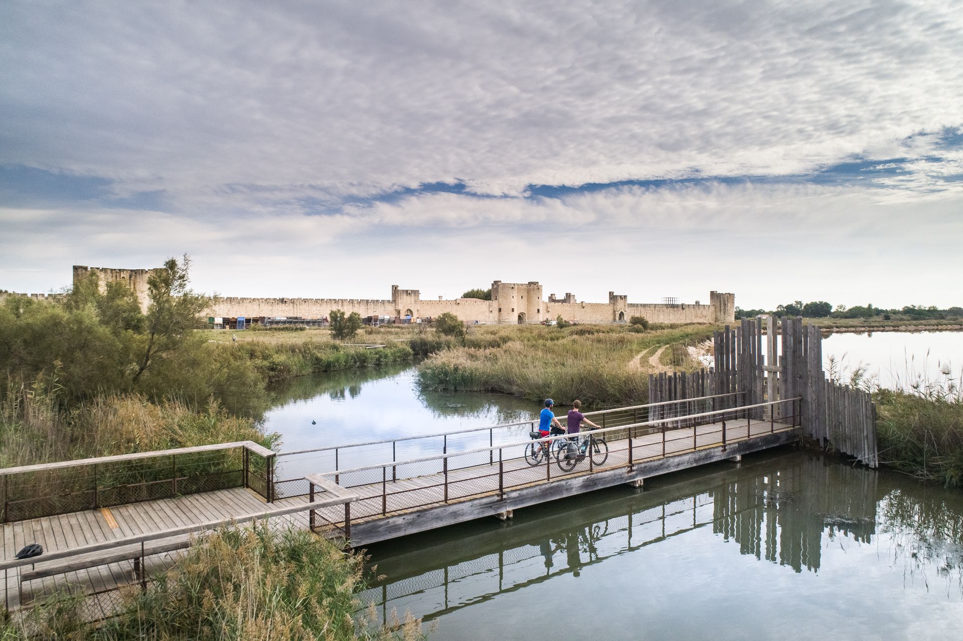
The most beautiful bike rides in Occitanie
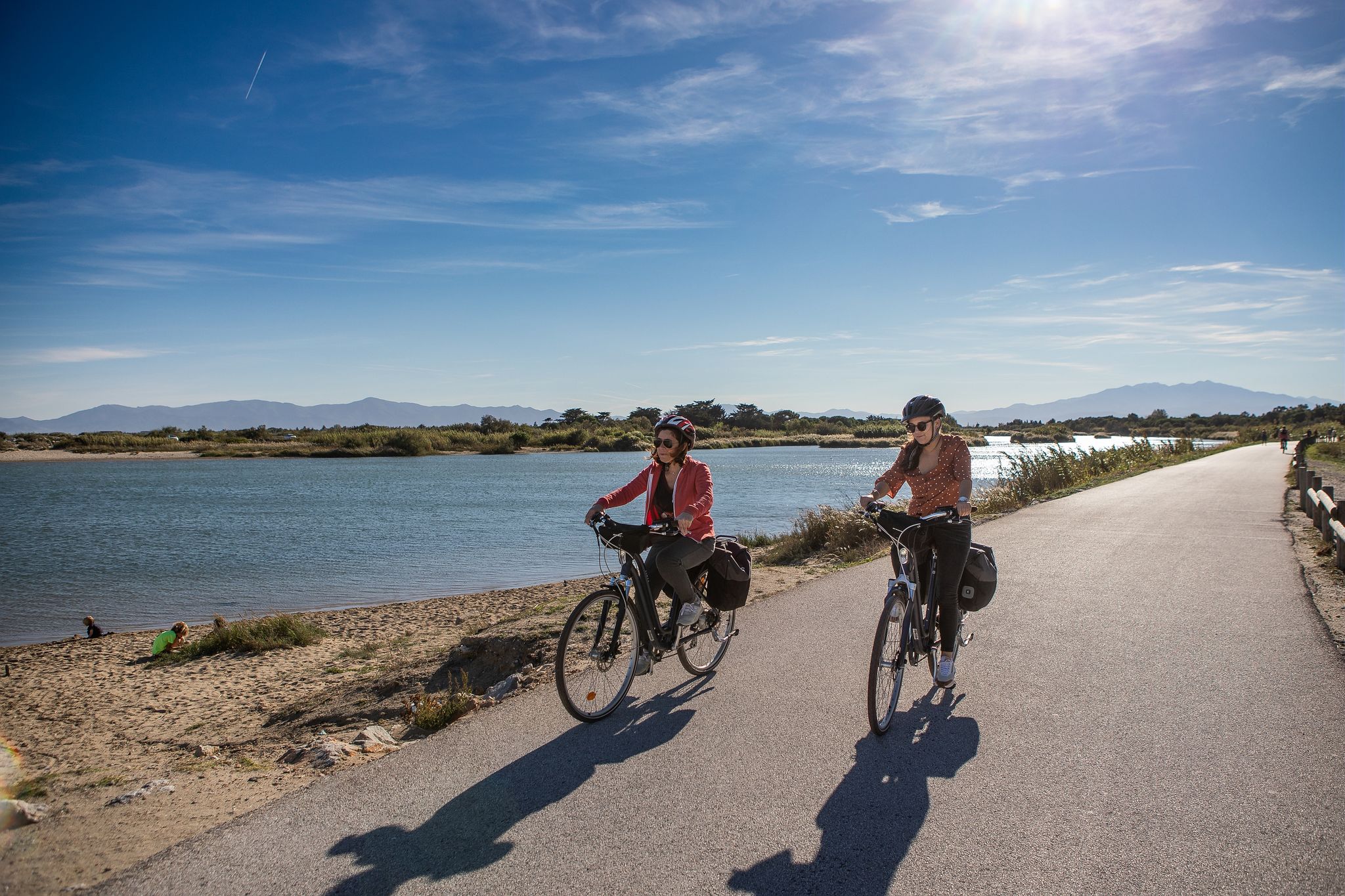
Méditerranée in Occitanie - Ten bike rides in the South of France
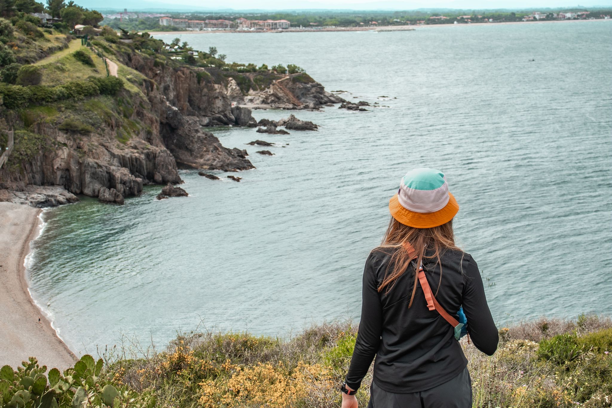
Côte Méditerranée – hiking in Occitania

荒野の山脈:カタロニアからアリエージュへ - ヘクサトレック、東ピレネース山脈
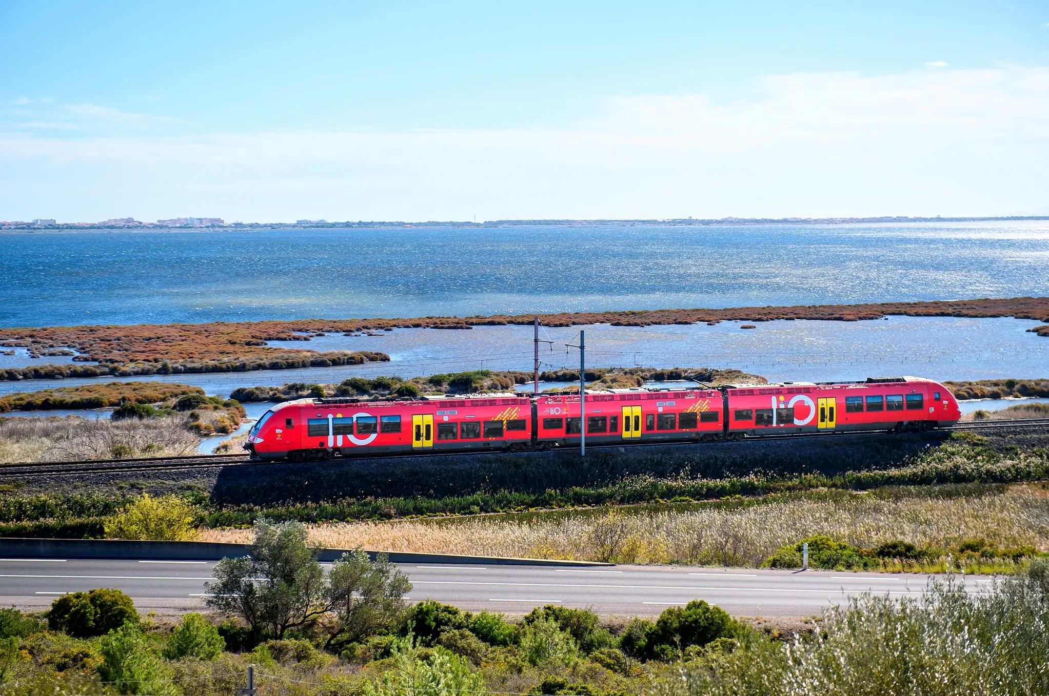
Occitanie Rail Tour – cycle and train along the Occitan Coast
川の冒険 - ベロシペデでデュ・メール運河
水と錠の途中を、ミディ運河
オキタニア海岸からイタリアまで — 自転車で地中海を探索する
ナルボンヌでのハイキング
ナルボンヌでのの他の冒険


コミュニティからのヒント

平均水深わずか55cmのグルイッサン池は、本当の「湖」というよりはラグーン(潟)です。その汽水域は、海、運河、流域との間の交換に依存しており、風によってその機能が著しく変化する可能性があります。 この池は、ナルボンヌ複合体の6つのラグーンの一つであり、特にその湿地の豊かさと鳥類にとっての重要性から保護されています。数キロメートル離れたサン・マルタン島の遺跡は、別の時代を思い出させます。紀元前2世紀からローマ時代にかけて、これらのラグーンはナルボンヌの広大な港湾システムの一部でした。
0
0
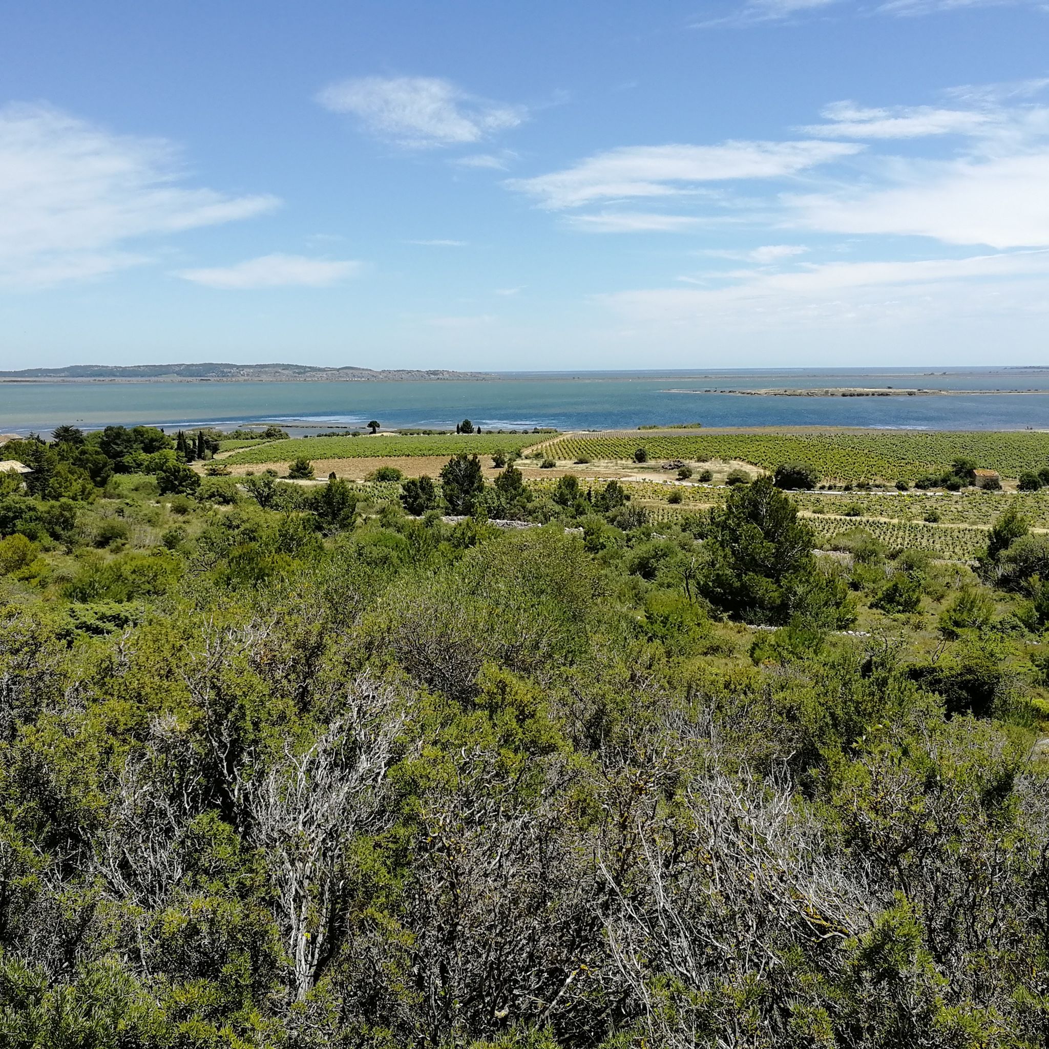
この狭い地峡からは、グルッサンのラグーンの風景は、ほとんど平行な帯の連続のように読み取れます。南には湿地帯と二次的な池があり、遊歩道、サント・マリー運河、そして北にはグルッサン池があります。サント・マリー運河は、沿岸平野の古い水利整備の証です。その水を管理するために設計された運河網に組み込まれ、特に古い塩田の干拓に貢献しました。 今日では、グルッサン池への真水の供給に貢献し、ラグーンの塩分濃度の変化に参加しています。池の向こうには、グルッサンとそのバルバロウスの塔の地形が地平線に浮かび上がっています。
0
0
Saint-Pierre-la-Merからわずか数歩のところに、これほど荒涼とした風景が広がっているとは信じがたい。エタン・ド・ピスヴァシュは、海と風によって形成された沿岸のラグーンで、海水、サンズイロ(塩性湿地)、アシ原が混在しています。その驚くべき名前は、オック語の「pitz vaca」に由来すると言われており、これは「牛のおしっこ」に例えられる淡水の湧き出しを想起させる古いイメージです。ここでは、陸と海の境界はまだ動いているように見え、オード地方の海岸に典型的な、開けた変化しやすい風景を提供しています。
1
0

ピセヴァシュラグーンは900ヘクタールの面積をカバーしており、管理計画の一環として復元された広大な生態系複合体であり、「 Basse Plaine de l’Aude 」のNatura 2000サイトに含まれています。 ナルボネーズ・アン・メディテラネ地域自然公園の領土の一部であり、特に敏感な保護自然地域があります。海岸は生きており、砂丘の植生は壊れやすいです。
0
0

Peaceful corner. Too bad a passage was destroyed by the company that buried the fiber. The banks of the river are really lacking in maintenance, it's hard to cross in places, the path was so pleasant before this work, I hope VNF will improve these points. A tricky trick
1
0

The pond can be easily circumnavigated by bike, it is worth it
0
0

The path is in poor condition (large stones, etc.) and not pleasant, even on gravel with 40mm tires. Walking along the railway line is not pleasant either. This path seems abandoned.
0
0

As you drive along the picturesque shoreline of the Étang de Gruissan, you will discover breathtaking views of the Mediterranean Sea and the vast lagoon. This serene coastal landscape offers a perfect escape from the hustle and bustle of city life. You can explore the charming village of Gruissan, with its narrow, winding streets and historic fortifications. Don’t miss the opportunity to enjoy fresh seafood in one of the many waterfront restaurants or relax on the sandy beaches.
0
0
ナルボンヌでのの人気観光スポット

komootモバイルアプリでインスピレーションを得よう


探していたものは見つかりませんでしたか?
地域ごとの最高の湖を見つけましょうナルボンヌでの:
さらに探索
まだ完璧な湖が見つかりませんかナルボンヌでの?これらの地域のガイドをチェックして、さらに美しい場所を見てみましょう。
