オモイでののおすすめグラベルライド
4.4
(118)
460
ライダー
53
ライド
グラベルサイクリングでオルモワ周辺を巡ると、エソンヌ県内の多様な景観にアクセスできます。この地域は、森林の小道、開けた野原、川沿いの小道が特徴です。この地域には、セナール国有林(Forêt Domaniale de Sénart)やガティネ地域自然公園(Gâtinais Regional Natural Park)の一部といった重要な自然の特徴があり、サイクリストに多様な地形を提供しています。ルートはしばしば、森や野原を抜ける静かな小道に沿っており、緩やかな丘がエンゲージングなグラベルサイクリング体験に貢献しています。エソンヌ川もこの地域を流れており、景色の良いルートをさらに豊かにしています。
オルモワ周辺の最高のグラベルバイクコース
- 最も人気のあるグラベルバイクコースは、コルベイユ=エソンヌ発、モルサン=シュル=セーヌ教会~クードレ水門と歩道橋ループで、距離は21.5マイル(34.6 km)、所要時間は2時間です。このルートは、変化に富んだ地形と川沿いのセクションが特徴です。
- 地元のグラベルバイカーに人気のもう一つのコースは、ボンドゥフル発、フォントネー=ル=ヴィコント湿地~マレ・ド・ミゼリーループで、難易度の高い17.8マイル(28.7 km)のコースです。湿地帯や農耕平野を抜けていきます。
- 地元のグラベルバイカーに愛されているのは、コルベイユ=エソンヌ発、ポミエ通り~森の守護者の像ループで、24.7マイル(39.7 km)のこのコースは広大な森を抜けていき、所要時間は約2時間17分です。
- オルモワ周辺のグラベルサイクリングは、セナールのような広大な森、ガティネ地域自然公園の多様な地形、そしてエソンヌ川沿いの小道によって特徴づけられます。このネットワークは、中程度のライドからより挑戦的なルートまで、さまざまなレベルのサイクリストに対応するオプションを提供しています。
- オルモワのルートは、komootコミュニティから高く評価されており、70件以上のレビューから平均4.4つ星を獲得しています。290人以上のグラベルバイカーがkomootを利用して、オルモワの多様な地形を探検しています。
最終更新日: 10月 6, 2026
4.9
(7)
80
ライダー
61.1km
03:28
260m
260m
中程度のグラベルライド. ある程度のフィットネスレベルが必要です。 全般的に舗装された状態です。あらゆるスキルレベルに適しています。
4.6
(41)
58
ライダー
34.8km
02:05
260m
260m
中程度のグラベルライド. ある程度のフィットネスレベルが必要です。 全般的に舗装された状態です。あらゆるスキルレベルに適しています。

4.8
(4)
12
ライダー
16.7km
01:10
110m
110m
初級者向けグラベルライド. あらゆるフィットネスレベルに適しています。 全般的に舗装された状態です。あらゆるスキルレベルに適しています。
4.3
(4)
18
ライダー
32.3km
02:11
180m
180m
難しいグラベルライド. ある程度のフィットネスレベルが必要です。 ツアーの一部で自転車を押して歩く必要があるかもしれません。
6
ライダー
35.0km
02:23
130m
130m
中程度のグラベルライド. ある程度のフィットネスレベルが必要です。 全般的に舗装された状態です。あらゆるスキルレベルに適しています。
さらに多くのルートや他のユーザーのおすすめ情報を確認できます。
すでにアカウントをお持ちですか?
おすすめのツアーは他のkomootユーザーが実際に経験した何千ものアクティビティに基づいています。
無料アカウントで今日から始めよう
次の冒険が待っています。
コミュニティからのヒント


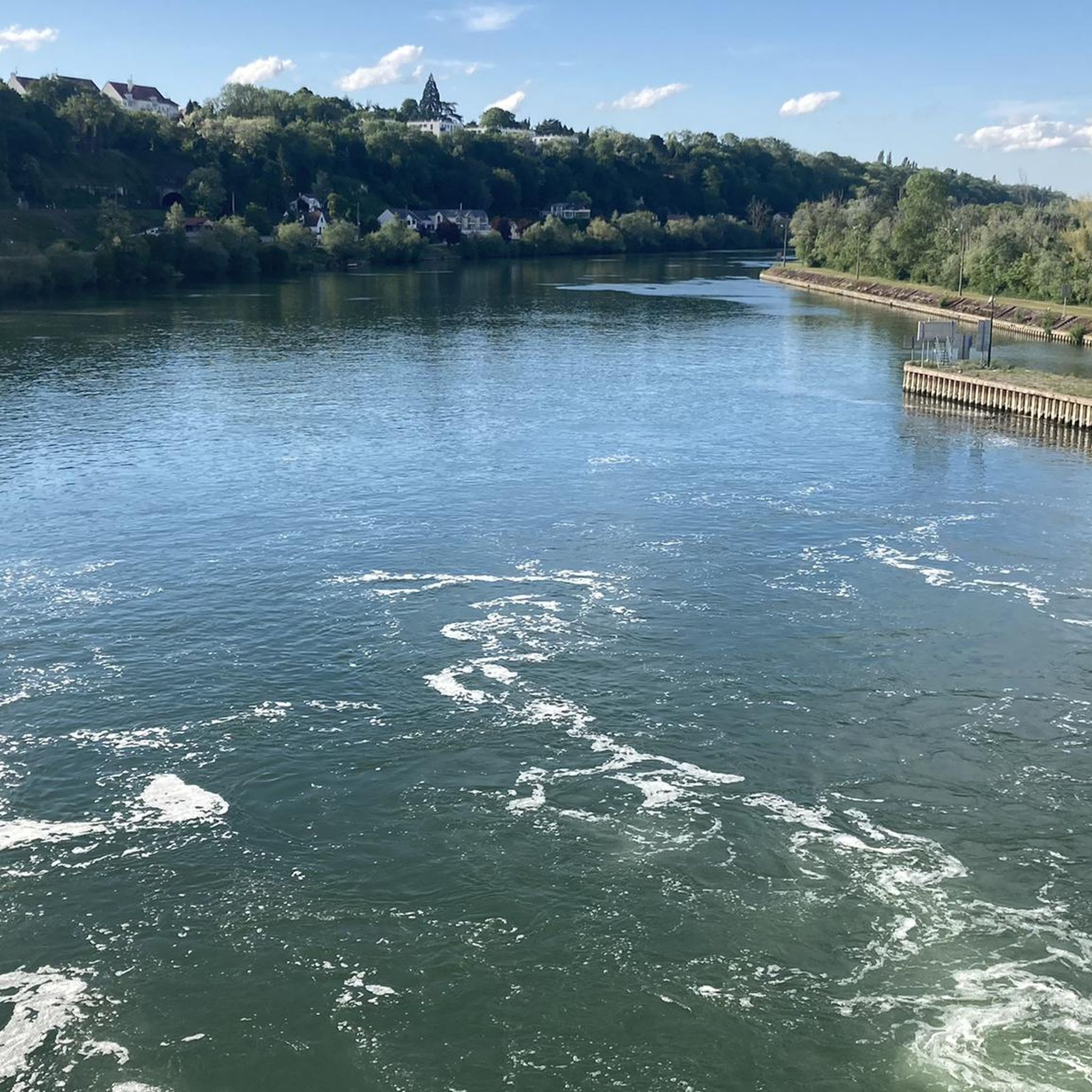
A towpath, or "chemin de halage," which runs alongside the river or canal, was an indispensable part of the transportation infrastructure in earlier times. Before ships could be propelled by motors, horses walked along the bank, pulling the vessel against the current. This was called "treideln," and that's how towpaths got their name, which has been passed down to this day. Where these paths, located directly on the riverbank, have been preserved, they are popular with hikers and cyclists.
0
0

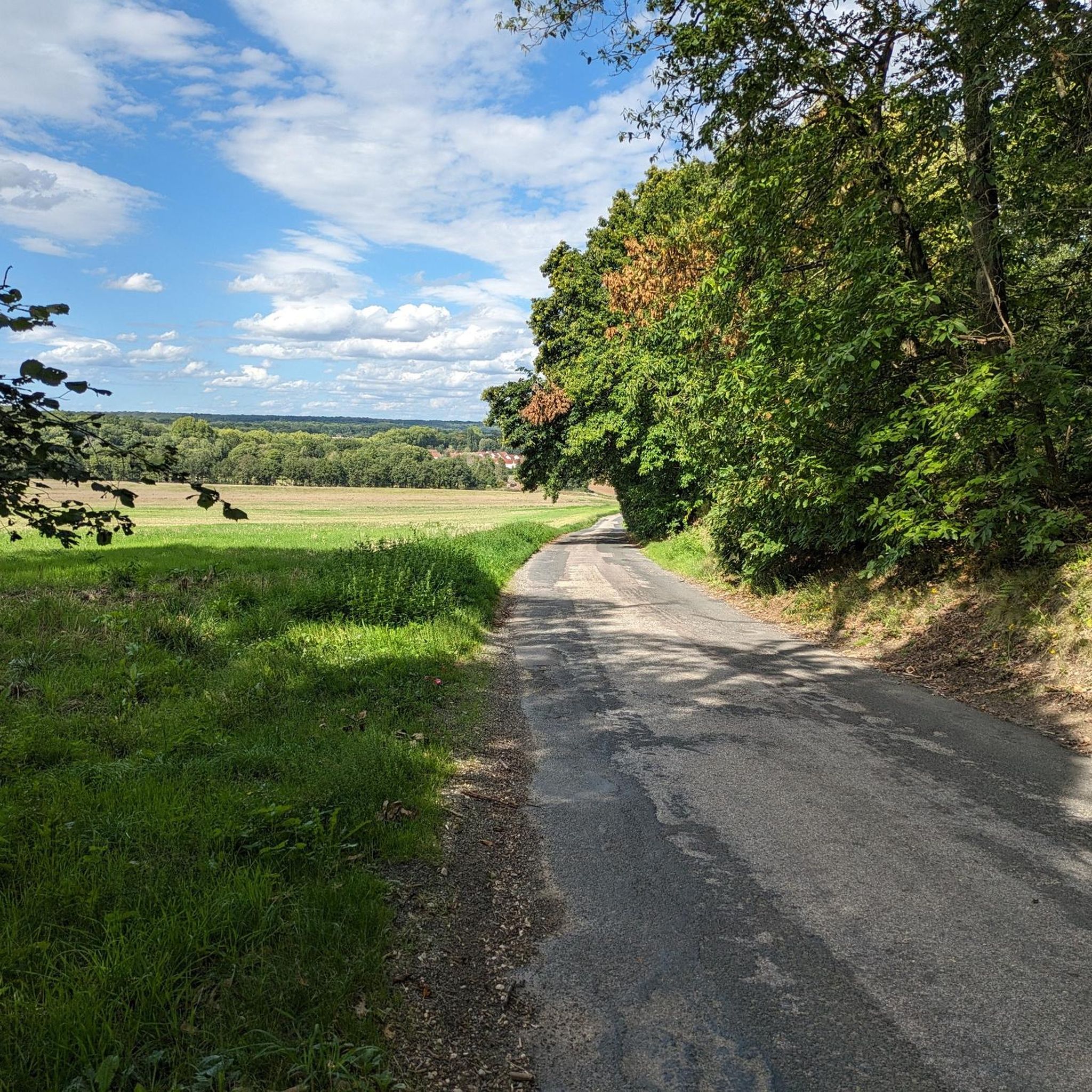
a bike ride in the late afternoon to enjoy the fresh air of the forest and the peacefulness of the banks of the Seine. Energising.
0
0


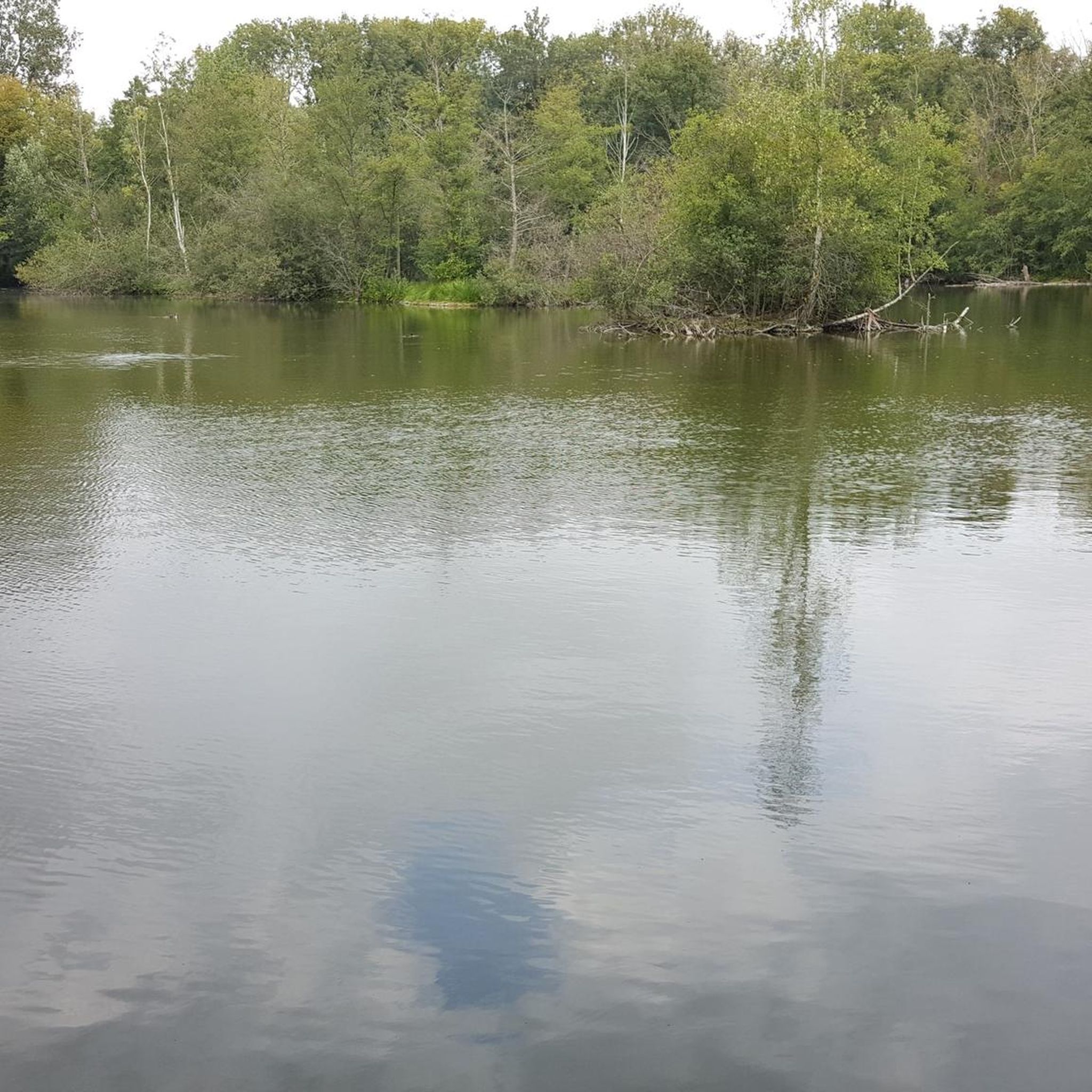
This site consists of 86 hectares of ponds, wet woodlands and peat meadows. Take the time to explore around the ponds and appreciate the rich biodiversity of the marsh.
0
1

オモイでのの人気観光スポット

komootモバイルアプリでインスピレーションを得よう


さらに探索
他の地域の最高のグラベルライドを見てみましょう。
