ダンマリー・レ・リスでののおすすめグラベルライド
4.4
(80)
474
ライダー
49
ライド
komootがまとめたダンマリー・レ・リスでののおすすめグラベルライドを参考にして、グラベルライドの魅力を最大限に楽しみましょう。難易度の高い登り坂や絶景のトレイルなど、あらゆるルートの中から厳選したダンマリー・レ・リスでののグラベルライドをご覧ください。
最終更新日: 8月 26, 2026
4.8
(4)
42
ライダー
84.2km
06:15
710m
710m
難しいグラベルライド. 標準以上のフィットネスレベルが必要です。 全般的に舗装された状態です。あらゆるスキルレベルに適しています。
5.0
(4)
24
ライダー
92.6km
06:04
500m
500m
難しいグラベルライド. 標準以上のフィットネスレベルが必要です。 全般的に舗装された状態です。あらゆるスキルレベルに適しています。

無料新規登録
4.4
(13)
50
ライダー
39.9km
02:33
240m
240m
中程度のグラベルライド. ある程度のフィットネスレベルが必要です。 全般的に舗装された状態です。あらゆるスキルレベルに適しています。
4.8
(8)
56
ライダー
52.6km
03:11
230m
230m
中程度のグラベルライド. ある程度のフィットネスレベルが必要です。 全般的に舗装された状態です。あらゆるスキルレベルに適しています。
5.0
(1)
12
ライダー
70.2km
04:59
490m
490m
難しいグラベルライド. 標準以上のフィットネスレベルが必要です。 全般的に舗装された状態です。あらゆるスキルレベルに適しています。
さらに多くのルートや他のユーザーのおすすめ情報を確認できます。
無料新規登録
すでにアカウントをお持ちですか?
おすすめのツアーは他のkomootユーザーが実際に経験した何千ものアクティビティに基づいています。
無料アカウントで今日から始めよう
次の冒険が待っています。
ログインまたは登録
コミュニティからのヒント


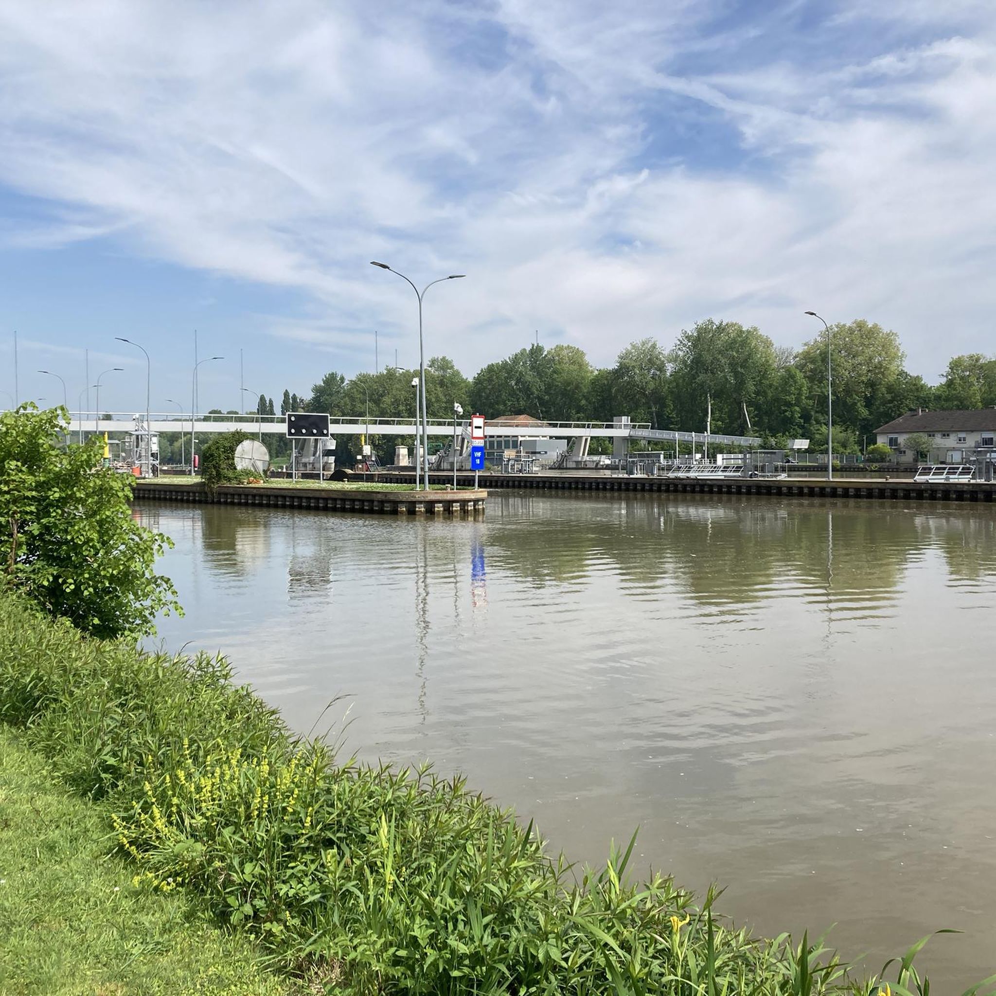
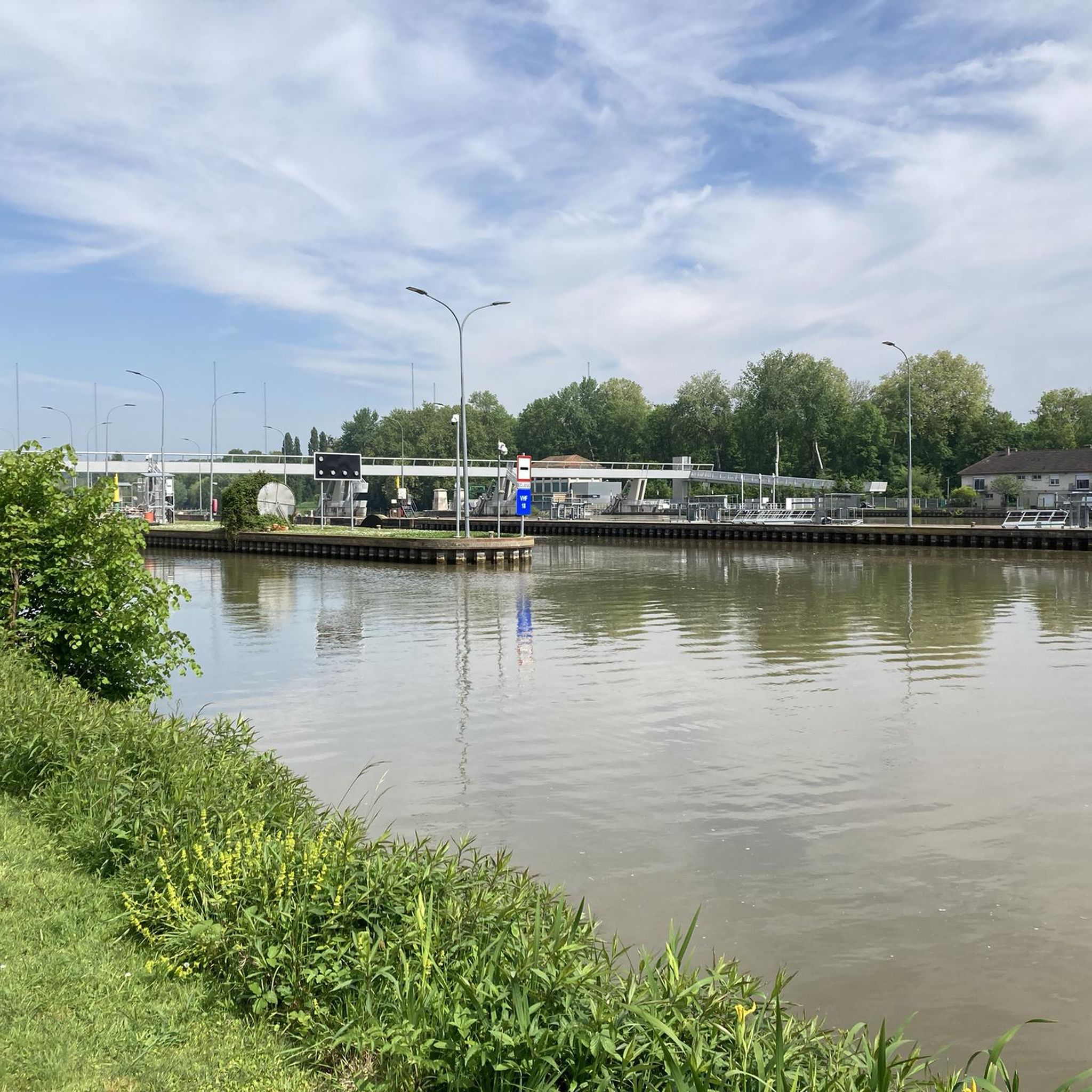
A towpath, or "chemin de halage," which runs alongside the river or canal, was an indispensable part of the transportation infrastructure in earlier times. Before ships could be propelled by motors, horses walked along the bank, pulling the vessel against the current. This was called "treideln," and that's how towpaths got their name, which has been passed down to this day. Where these paths, located directly on the riverbank, have been preserved, they are popular with hikers and cyclists.
0
0

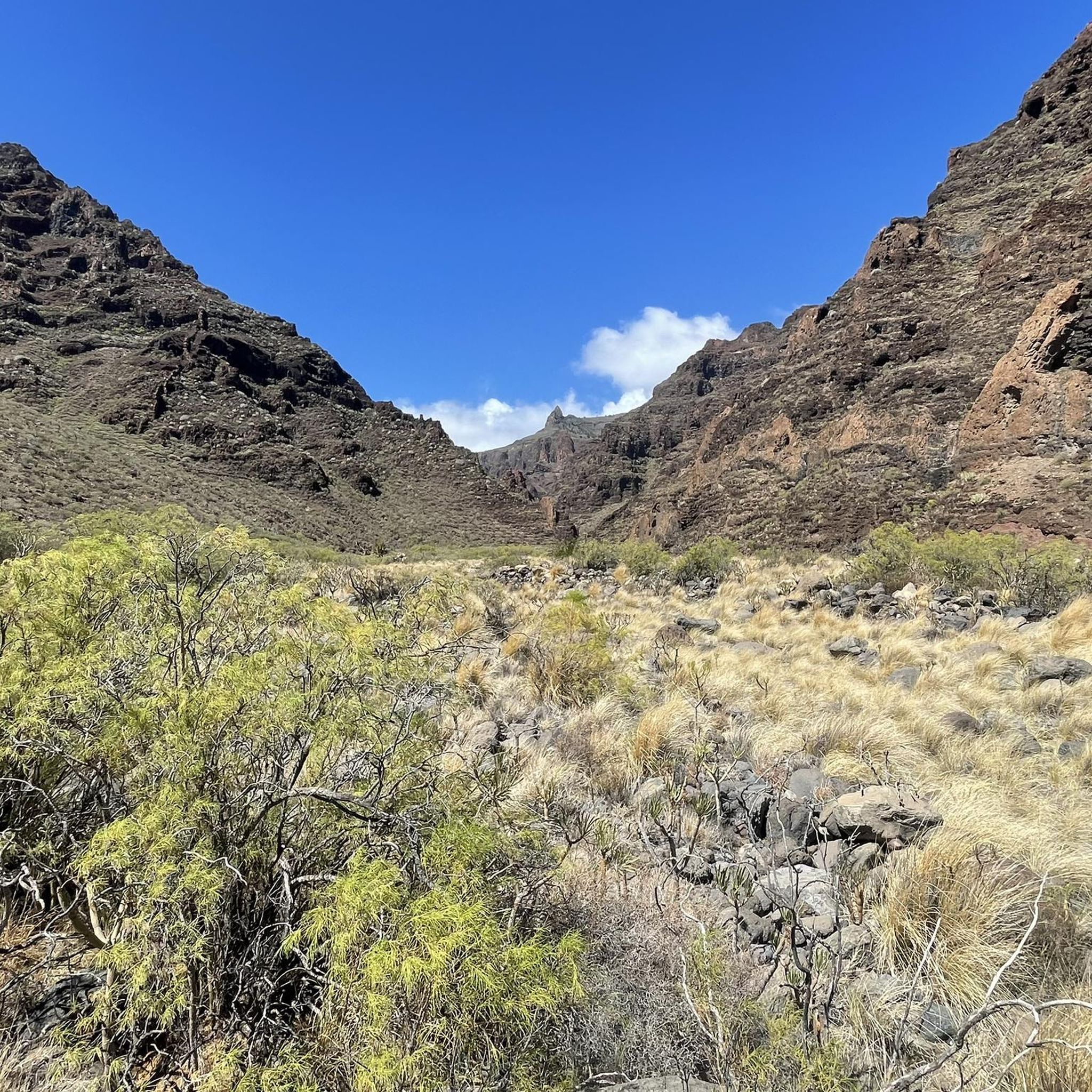
A superb road through the Apremont gorges. You can continue along the gorge road to Les Nefliers and then the forest road to the castle.
0
0


The former fortress and picturesque medieval town of Moret-sur-Loing lies on the edge of the Fontainebleau Forest and the peacefully flowing Loing River. This postcard-perfect town is indeed extremely photogenic. The most beautiful views are from the old bridge or from the right bank of the Loing.
1
0
No cycling in the castle grounds... on foot only
0
0

Quite a nice route, with a short stretch of track between the 19th and 22nd km
0
0
ダンマリー・レ・リスでのの人気観光スポット

komootモバイルアプリでインスピレーションを得よう


さらに探索
他の地域の最高のグラベルライドを見てみましょう。
