サンバルトロメデティラジャナでののおすすめグラベルライド
4.2
(27)
329
ライダー
23
ライド
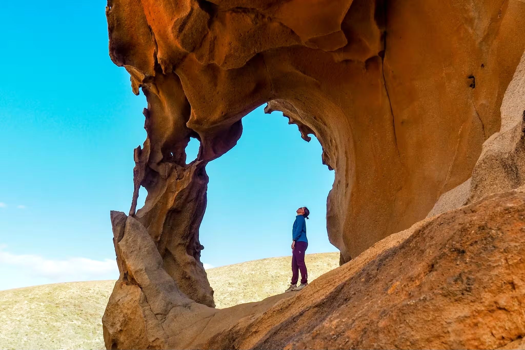
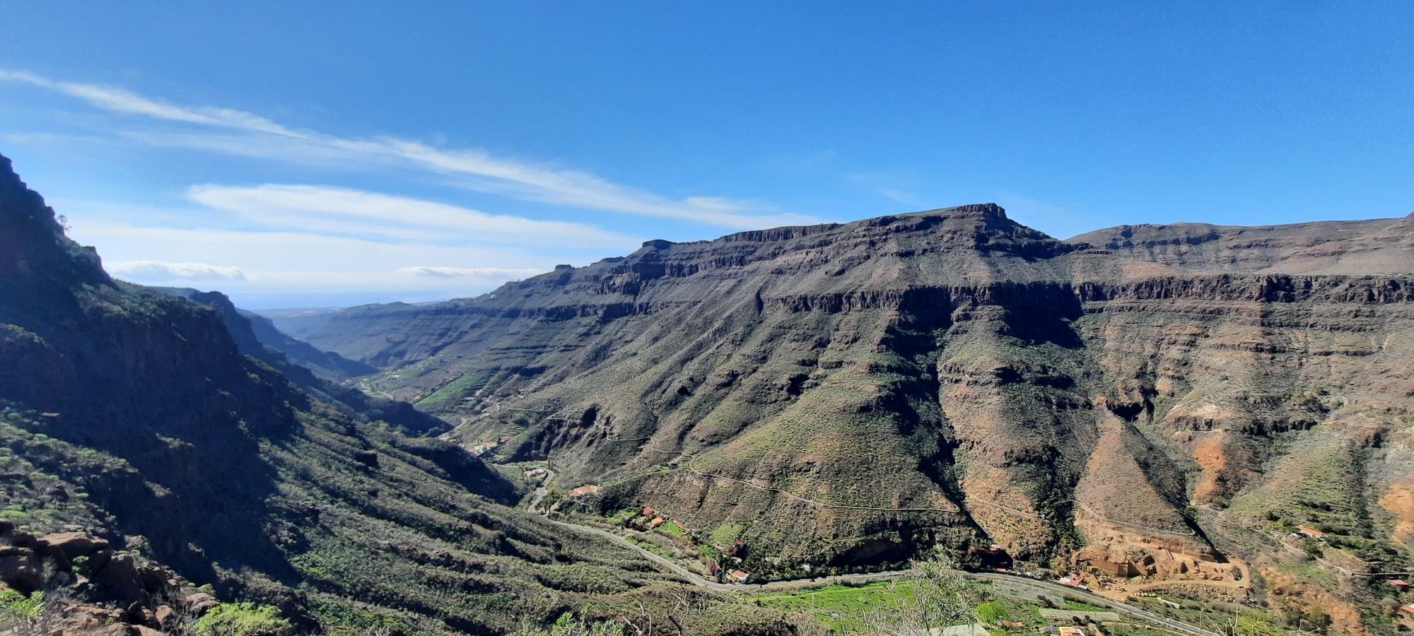
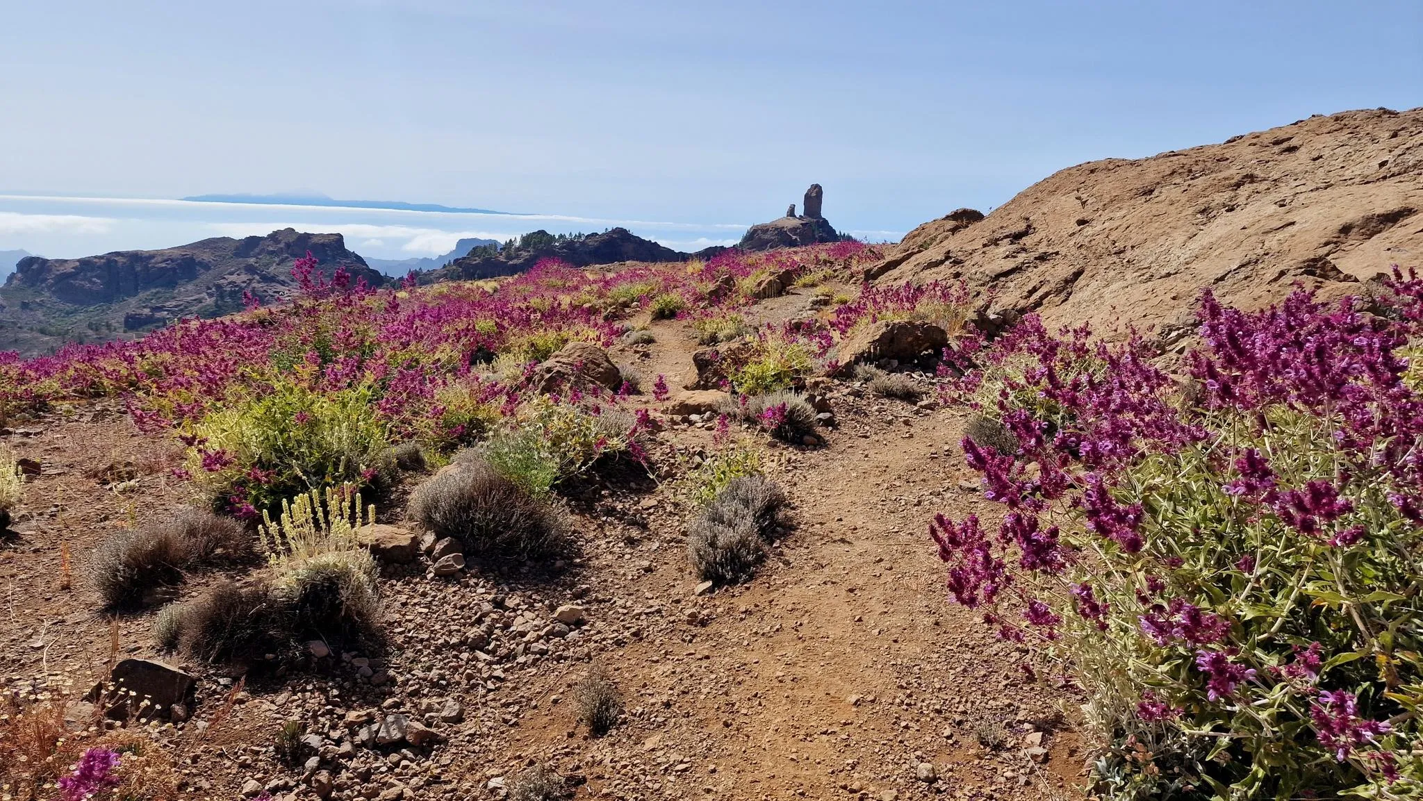
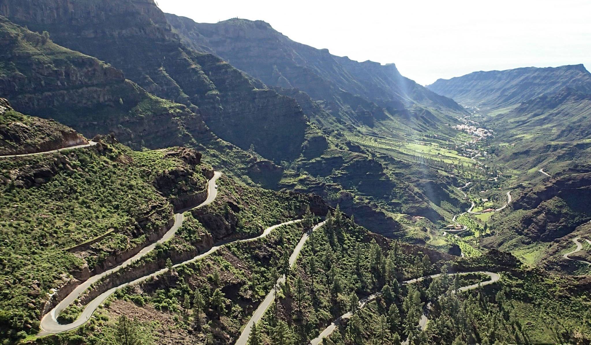
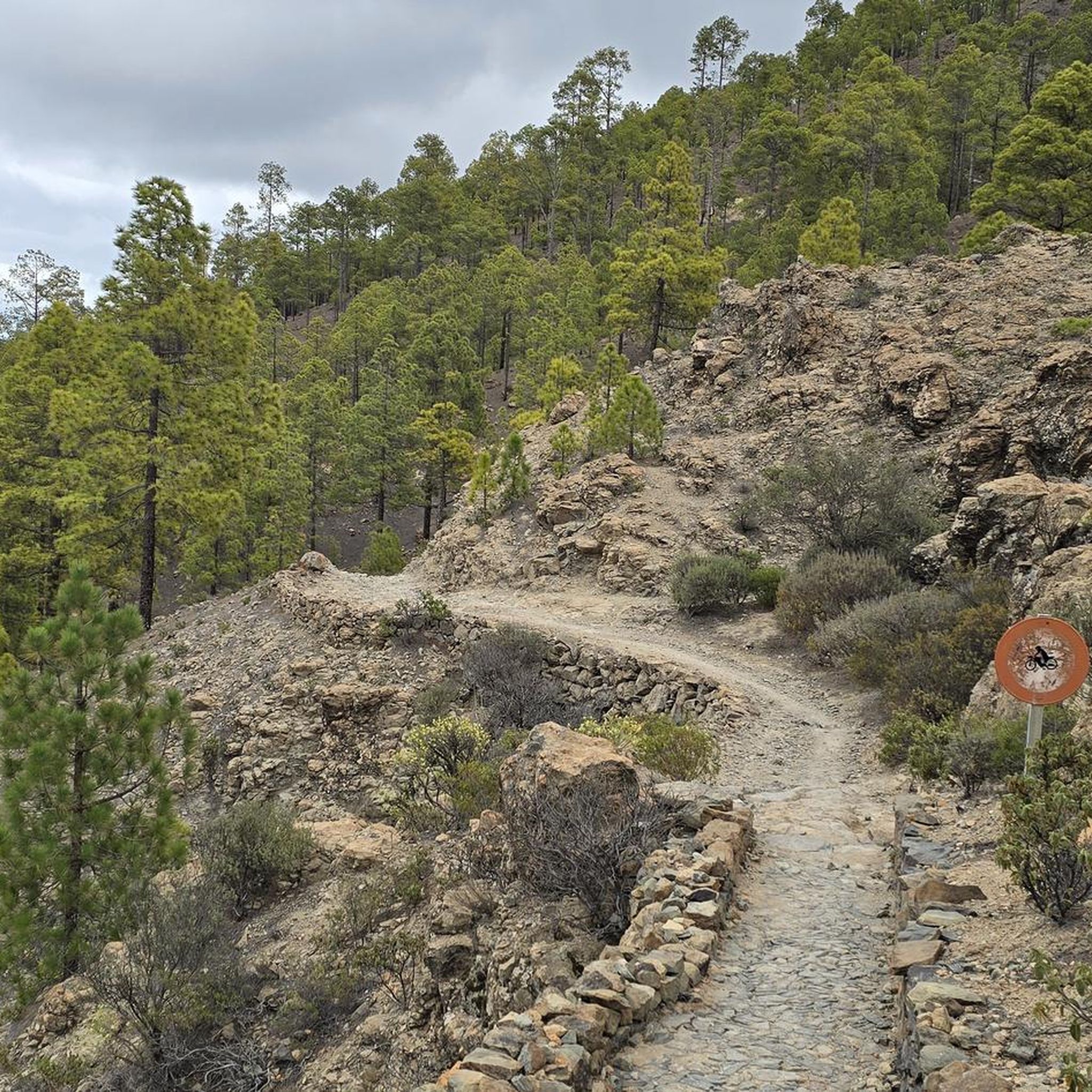
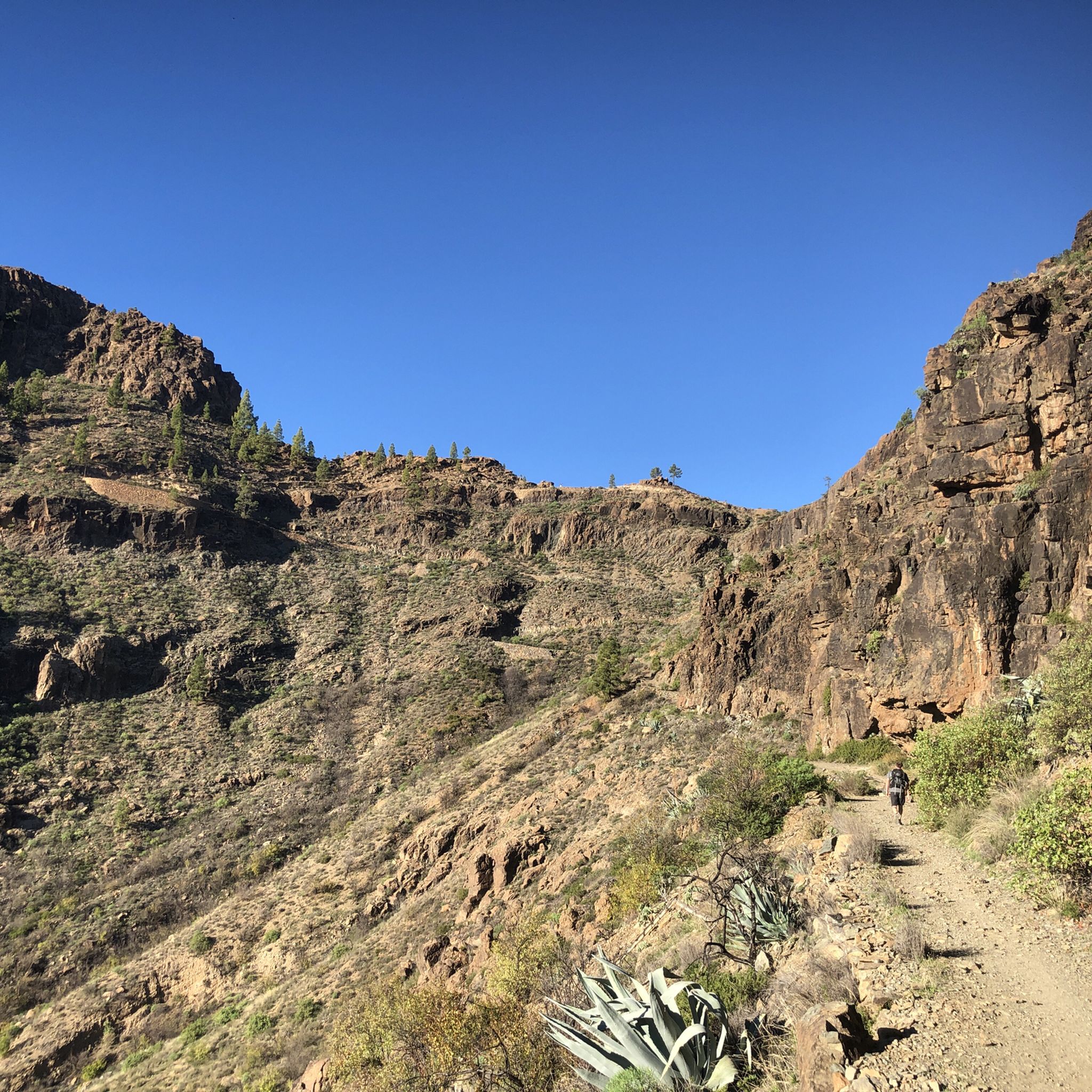
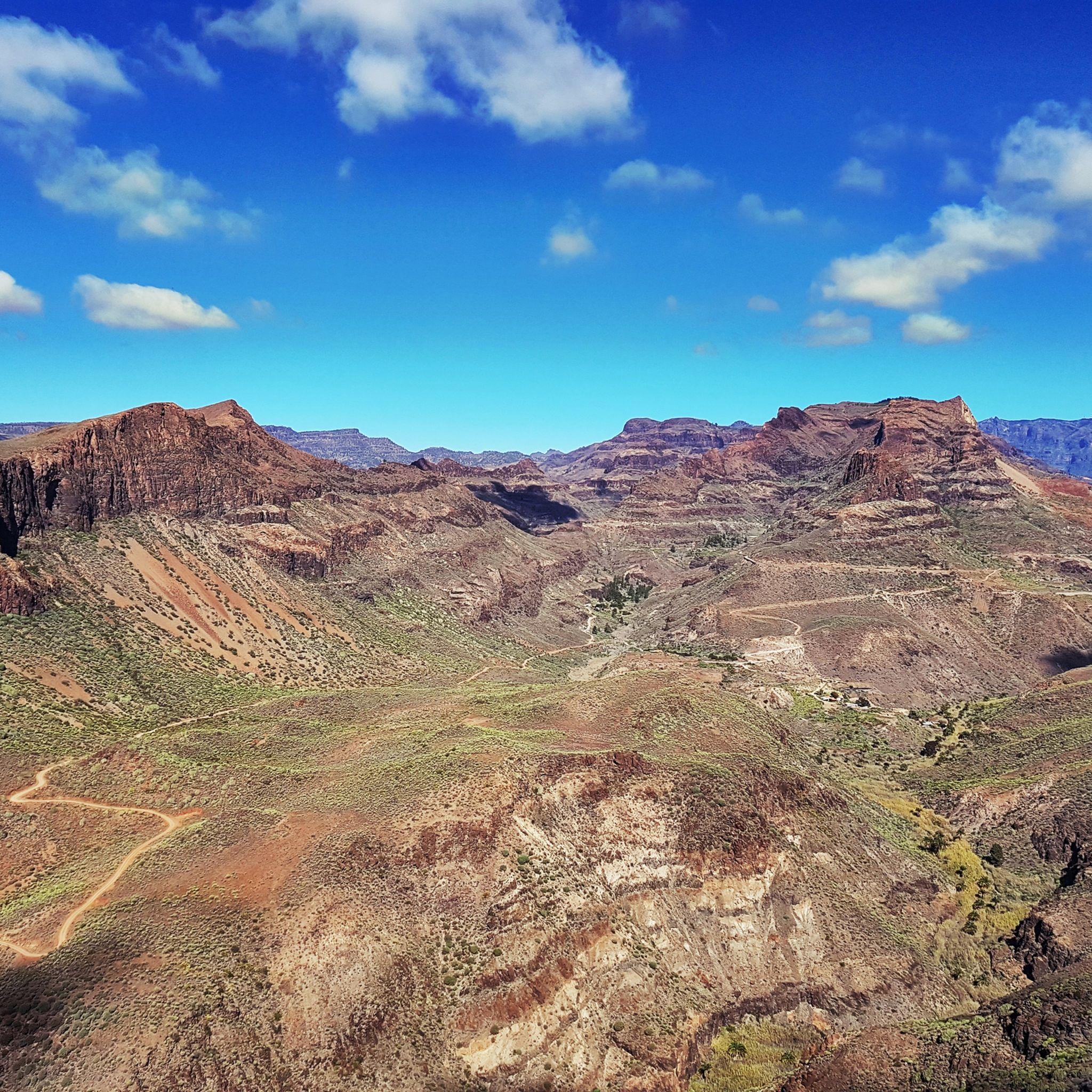
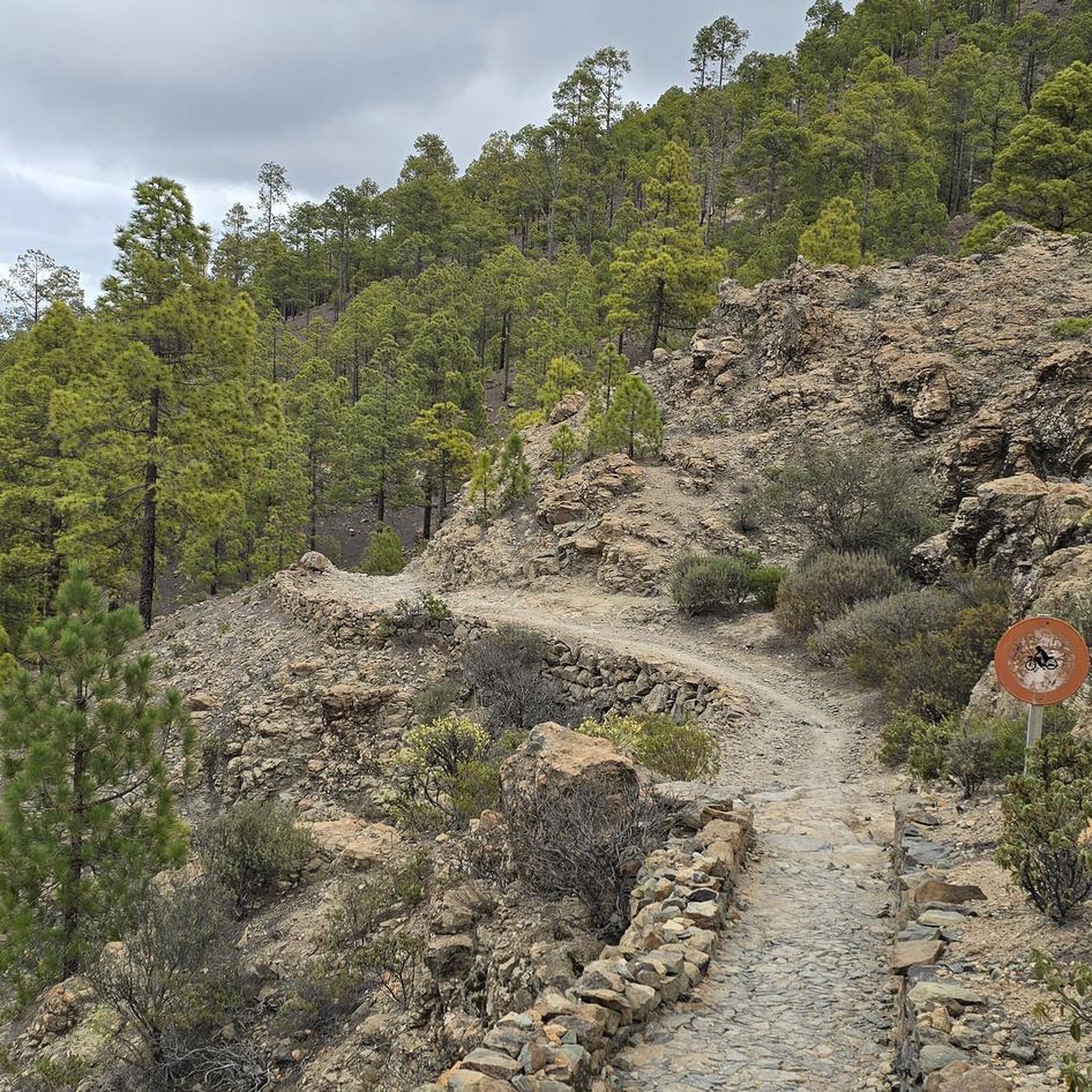
グラベルバイクでのサン・バルトロメ・デ・ティラハナ周辺のサイクリングは、沿岸地域から険しい火山地帯へと変化する多様な地形を提供します。この地域には、深い渓谷、そびえ立つ岩石構造、そしてアスファルトと未舗装路が混在しています。これにより、海岸沿いの道から松林や火山地帯を通る挑戦的な山岳登攀まで、サイクリストに様々なルートが提供されます。
サン・バルトロメ・デ・ティラハナ周辺の最高のグラベルバイクトレイル
- 最も人気のあるグラベルバイクトレイルは、キャニオンの眺め – バル・エル・パソからの渓谷越えループで、距離37.2マイル(59.9 km)、所要時間5時間5分です。このルートは、ドラマチックな渓谷と火山景観を巡ります。
- 地元のグラベルバイカーに人気のもう一つのトレイルは、プラヤ・デ・サン・アグスティン – アルデア・ブランカからのサーフビーチループで、難易度は高く、距離36.6マイル(58.9 km)です。このトレイルは、沿岸地域やビーチを通ります。
- 地元のグラベルバイカーに愛されているのは、渓谷越え – GC-604の未舗装区間、プレサ・デ・チラからのループで、距離14.1マイル(22.8 km)、所要時間は約2時間30分です。このトレイルは山岳地帯を抜けます。
- サン・バルトロメ・デ・ティラハナ周辺のグラベルバイクは、海岸沿いの道、火山地帯、そしてファタガ渓谷のような深い渓谷が特徴です。このネットワークは、より平坦な道からより険しいトレイルまで、様々なレベルのサイクリストに対応しています。
- サン・バルトロメ・デ・ティラハナのルートは、komootコミュニティから高く評価されており、8件以上のレビューで平均4.5つ星を獲得しています。120人以上のグラベルバイカーがkomootを利用して、サン・バルトロメ・デ・ティラハナの多様な地形を探検しました。
最終更新日: 8月 26, 2026
4.7
(16)
138
ライダー
39.4km
03:04
680m
680m
難しいグラベルライド. 標準以上のフィットネスレベルが必要です。 全般的に舗装された状態です。あらゆるスキルレベルに適しています。
4.7
(3)
28
ライダー
59.9km
05:05
1,660m
1,660m
難しいグラベルライド. 標準以上のフィットネスレベルが必要です。 全般的に舗装された状態です。あらゆるスキルレベルに適しています。

無料新規登録
4.0
(1)
24
ライダー
67.4km
05:18
1,130m
1,130m
難しいグラベルライド. 標準以上のフィットネスレベルが必要です。 全般的に舗装された状態です。あらゆるスキルレベルに適しています。
5.0
(1)
29
ライダー
57.9km
03:43
550m
550m
難しいグラベルライド. 標準以上のフィットネスレベルが必要です。 全般的に舗装された状態です。あらゆるスキルレベルに適しています。
7
ライダー
22.8km
02:30
670m
670m
難しいグラベルライド. 標準以上のフィットネスレベルが必要です。 全般的に舗装された状態です。あらゆるスキルレベルに適しています。
さらに多くのルートや他のユーザーのおすすめ情報を確認できます。
無料新規登録
すでにアカウントをお持ちですか?
おすすめのツアーは他のkomootユーザーが実際に経験した何千ものアクティビティに基づいています。
無料アカウントで今日から始めよう
次の冒険が待っています。
ログインまたは登録



コミュニティからのヒント


Nice 'up and down' on a dead end road. Beautiful landscape but quite tough because of the many walls where the road descends briefly and then steeply up again. Again different from the climbs in the area. Do take enough water with you because there is nothing to get along the way. The way back is easy because you roll up most of the slopes at a good speed.
0
0
Take pruning shears. From bottom to top it is certainly not easy and with all that reed it is impossible.
2
0

This upaved part of the GC-604 makes it perfect for some gravel fun
0
0

At the very end of the Barranco de la Data gorge lies the small town of Ayagaures and the two reservoirs Presa de Ayagaures
2
0
サンバルトロメデティラジャナでのの人気観光スポット

komootモバイルアプリでインスピレーションを得よう


さらに探索
他の地域の最高のグラベルライドを見てみましょう。
