レガスピでののおすすめグラベルライド
5.0
(2)
53
ライダー
11
ライド
Legazpi周辺のグラベルバイクライドは、川沿いの谷、高台の峠、歴史的な工業地帯を特徴とする景観が広がっています。この地域は、川沿いの小道から多様な地形を抜ける上り坂まで、様々な路面を提供しています。ルートにはしばしば緑道や景色の良い展望台が含まれ、象徴的なマヨン山の雄大な風景に囲まれています。地形は火山岩、砂利、砂で構成されており、ライダーに多様な路面を提供します。
Legazpi周辺の最高のグラベルバイクトレイル
- 最も人気のあるグラベルバイクトレイルは、トレクッツ・ピクニックエリア – アイヅプルツコ川沿いの小道ループ(スマラグ発)で、距離20.7マイル(33.3km)、所要時間2時間17分です。この難易度の高いルートは川沿いの小道に沿っており、ピクニックエリアへのアクセスも可能です。
- 地元のグラベルバイカーに人気のもう一つのトレイルは、オルマイツェギ高架橋 – リエルニの小道ループ(セガマ発)で、距離25.6マイル(41.2km)の難易度の高いコースです。このトレイルはかなりの高低差があり、歴史的なオルマイツェギ高架橋を通過します。
- 地元のグラベルバイカーに愛されているのは、オルマイツェギ高架橋 – セガマ・ループ(ベアサイン発)で、距離27.0マイル(43.5km)のトレイルは、上り坂を伴う多様な地形を通り抜け、通常約3時間14分で完了します。
- Legazpi周辺のグラベルバイクライドは、川沿いの谷、緑道、山岳峠によって特徴づけられ、地形には火山岩や砂利が含まれます。このネットワークは、Legazpi近郊の挑戦的なグラベルバイクルートを含む、様々なスキルレベルに対応するオプションを提供しています。
- Legazpiのルートはkomootコミュニティから高く評価されており、2件以上のレビューから平均5.0つ星の評価を得ています。30人以上のグラベルバイカーがkomootを利用してLegazpiの多様な地形を探索しました。
最終更新日: 8月 26, 2026
5.0
(1)
21
ライダー
24.1km
01:20
260m
260m
中程度のグラベルライド. ある程度のフィットネスレベルが必要です。 全般的に舗装された状態です。あらゆるスキルレベルに適しています。
11
ライダー
33.3km
02:17
750m
750m
難しいグラベルライド. 標準以上のフィットネスレベルが必要です。 全般的に舗装された状態です。あらゆるスキルレベルに適しています。

無料新規登録
5.0
(1)
6
ライダー
41.2km
03:08
890m
880m
難しいグラベルライド. 標準以上のフィットネスレベルが必要です。 ツアーの一部で自転車を押して歩く必要があるかもしれません。
5
ライダー
23.3km
01:29
380m
380m
中程度のグラベルライド. ある程度のフィットネスレベルが必要です。 全般的に舗装された状態です。あらゆるスキルレベルに適しています。
10
ライダー
26.0km
01:59
580m
580m
難しいグラベルライド. 標準以上のフィットネスレベルが必要です。 全般的に舗装された状態です。あらゆるスキルレベルに適しています。
さらに多くのルートや他のユーザーのおすすめ情報を確認できます。
無料新規登録
すでにアカウントをお持ちですか?
おすすめのツアーは他のkomootユーザーが実際に経験した何千ものアクティビティに基づいています。



コミュニティからのヒント

The Ormaiztegi Viaduct (inaugurated on August 15, 1864) is the town's most emblematic symbol. Designed by engineer Alexander Lavalley, a predecessor of Gustave Eiffel, it stands in a beautiful landscape overlooking the Eztanda River. It is the most important structure on the Madrid-Paris railway line, spanning 289 meters in length and 34 meters in height. Its 18,000 tons are supported by four pillars. The double track was installed in 1912 and electrified in 1928. It is currently disused and forms part of the Basque Country's cultural heritage.
0
0

The knights are gone, the coat of arms remains
1
0

The Church of San Miguel is a Gothic-style religious building that immediately strikes with its grandeur and monumentality. It is located very close to the university building, making both buildings easily accessible. It is recommended to book a guided tour at the nearby tourist office. It costs €6 per person and includes a tour of the university and this church. The Church of San Miguel Arcángel is the most important religious monument in Oñate, a magnificent temple well worth exploring.
0
0
The Plaza de los Fueros is a large rectangular pedestrian street that forms the center of the city and features several good taverns and restaurants with terraces under the arcades. Designed in the mid-19th century, it is a colonnaded square, enclosed on three sides, opening onto a small garden area, behind which is a large esplanade used for a street market on Saturdays. In this square of simple neoclassical buildings, the Town Hall building is particularly striking for its lavish and exuberant decoration.
0
0
The Town Hall building towers over Plaza de los Fueros. It is a Baroque building, built in 1758 by the Basque architect Martín de Carrera. The main façade features a portico with three large semicircular arches, above which opens a large lattice balcony with richly decorated, molded windows crowned by split pediments. The main façade is crowned by five pinnacles with an iron cross in the center.
0
0

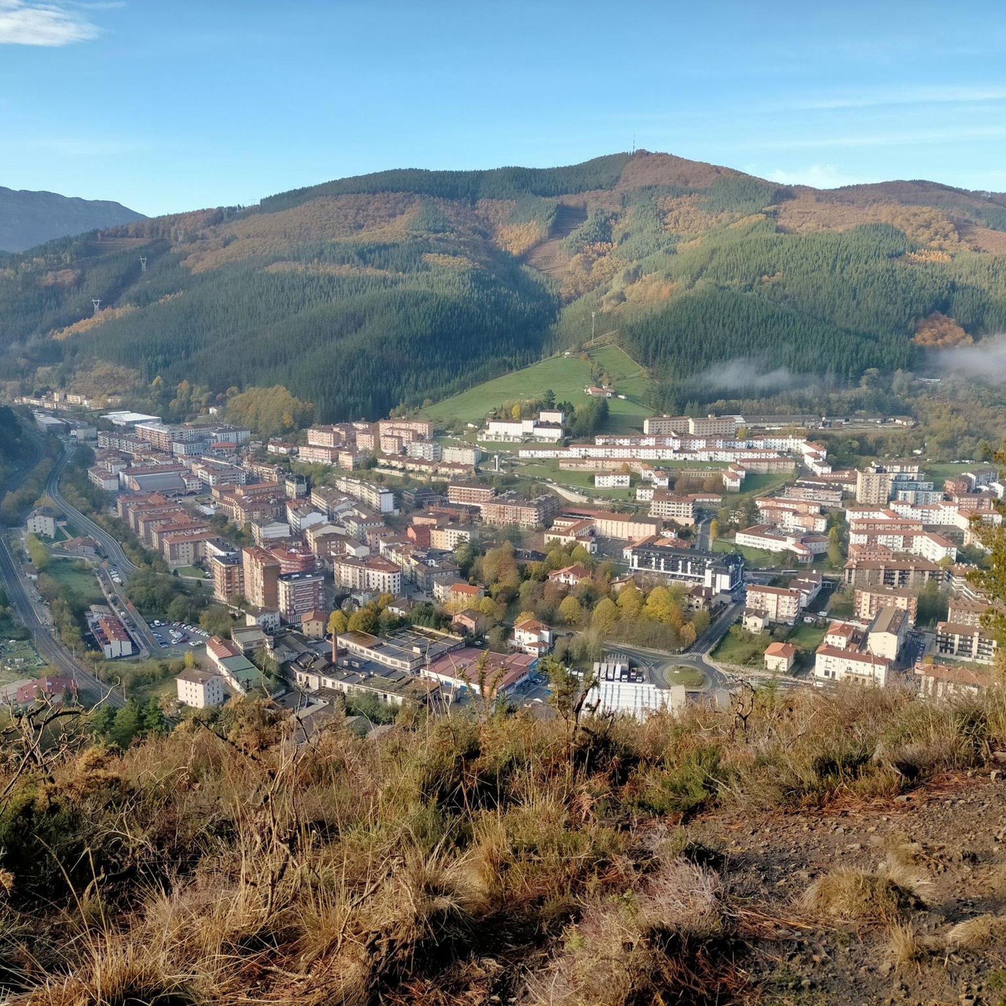
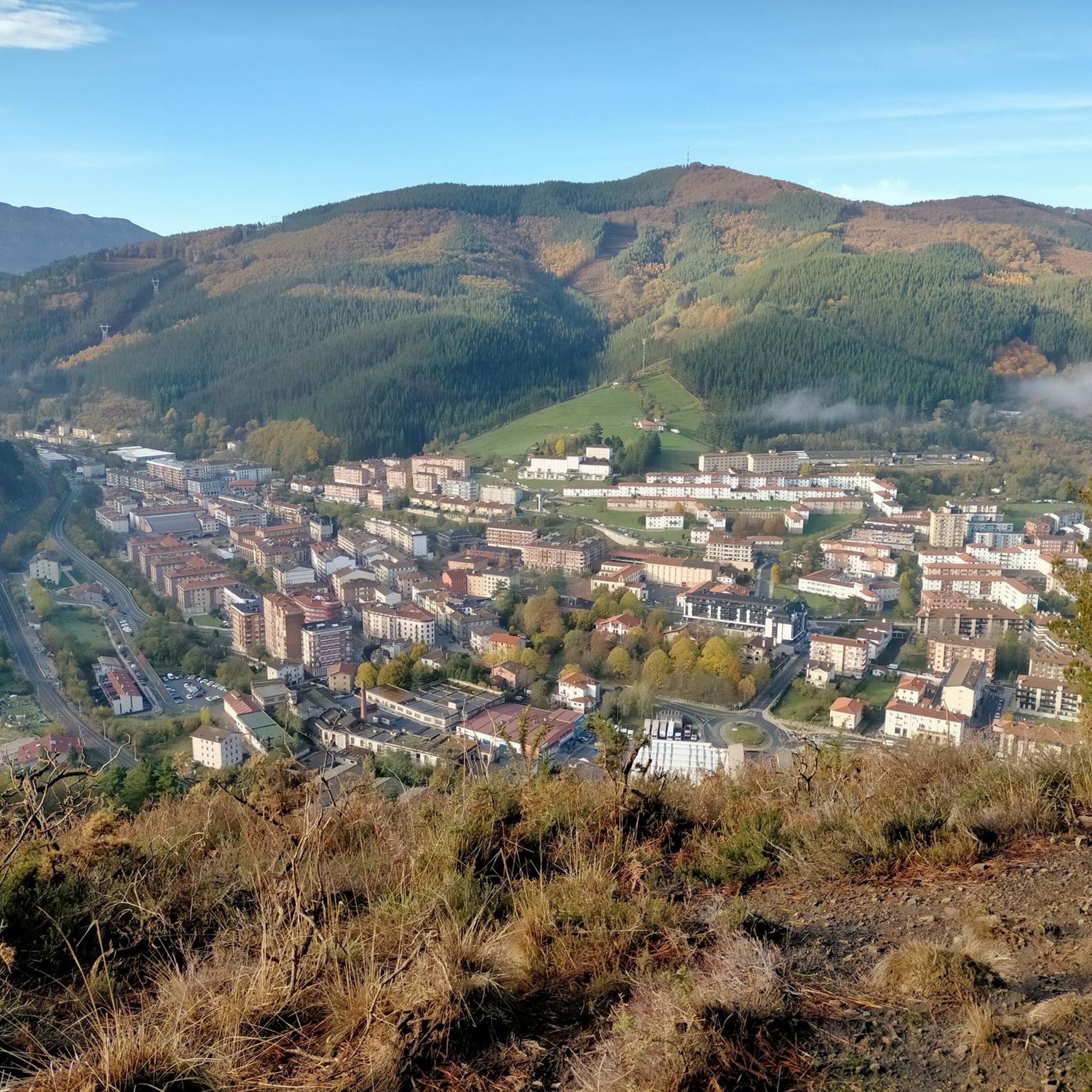
Beautiful town nestled in the Guipuzcoan valley of Alto Urola. The name of the town comes from Basque and means 'place of the elm'. The Urola River runs through the town and separates it from the municipality of Urretxu. Zumárraga is also the end point of the Urola greenway, a cycle route that runs through a beautiful rural landscape. A destination with a lot of charm and personality.
1
0
Beautiful town nestled in the Guipuzcoan valley of Alto Urola. The name of the town comes from the Basque and means 'place of the elm'. The river Urola runs through the town and separates it from the municipality of Urretxu. Zumarraga is also the end point of the Vía Verde del Urola, a cycling route that runs through a beautiful rural landscape. A destination with a lot of charm and personality.
2
0

komootモバイルアプリでインスピレーションを得よう


さらに探索
他の地域の最高のグラベルライドを見てみましょう。
