フォラダダでののおすすめグラベルライド
5.0
(1)
108
ライダー
25
ライド
komootがまとめたフォラダダでののおすすめグラベルライドを参考にして、グラベルライドの魅力を最大限に楽しみましょう。難易度の高い登り坂や絶景のトレイルなど、あらゆるルートの中から厳選したフォラダダでののグラベルライドをご覧ください。
最終更新日: 8月 31, 2026
14
ライダー
74.2km
05:36
700m
700m
難しいグラベルライド. 標準以上のフィットネスレベルが必要です。 全般的に舗装された状態です。あらゆるスキルレベルに適しています。
10
ライダー
62.7km
04:45
510m
510m
難しいグラベルライド. 標準以上のフィットネスレベルが必要です。 全般的に舗装された状態です。あらゆるスキルレベルに適しています。

無料新規登録
13
ライダー
74.8km
05:48
880m
880m
難しいグラベルライド. 標準以上のフィットネスレベルが必要です。 全般的に舗装された状態です。あらゆるスキルレベルに適しています。
11
ライダー
63.6km
04:53
860m
860m
難しいグラベルライド. 標準以上のフィットネスレベルが必要です。 全般的に舗装された状態です。あらゆるスキルレベルに適しています。
6
ライダー
59.8km
04:32
310m
310m
中程度のグラベルライド. ある程度のフィットネスレベルが必要です。 全般的に舗装された状態です。あらゆるスキルレベルに適しています。
さらに多くのルートや他のユーザーのおすすめ情報を確認できます。
無料新規登録
すでにアカウントをお持ちですか?
おすすめのツアーは他のkomootユーザーが実際に経験した何千ものアクティビティに基づいています。
無料アカウントで今日から始めよう
次の冒険が待っています。
ログインまたは登録
コミュニティからのヒント

The Canal d'Urgell is a hydraulic infrastructure intended for irrigation, which carries water from the Segre River to the fields of crops in different municipalities in the counties of Urgell, Pla d'Urgell, Noguera, Segrià and Garrigues, with a total irrigated area of about 70,000 hectares and serving about 77,000 inhabitants. This infrastructure is on the left bank of the Segre River. It begins in the Segre River downstream of the town of Ponts and after traveling about 144 km it ends its route in the town of Montoliu de Lleida. Source: Wikipedia.
0
0
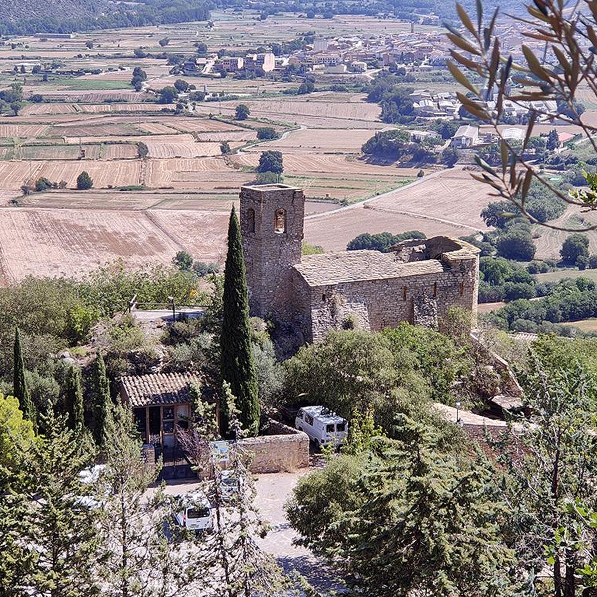
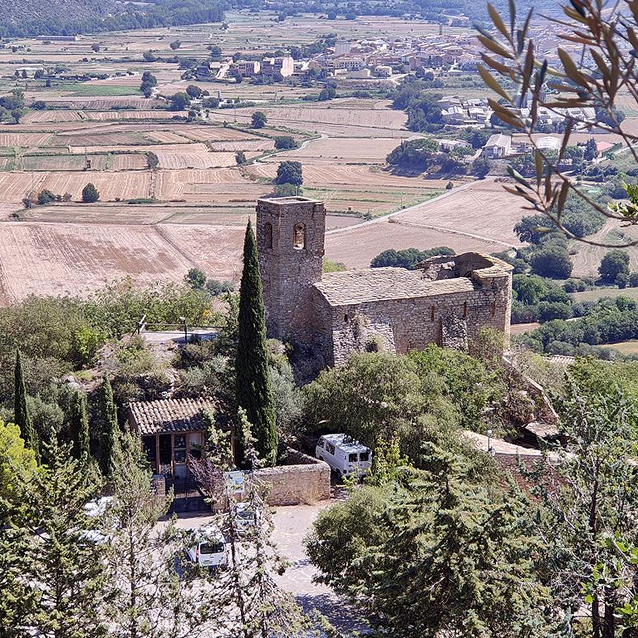
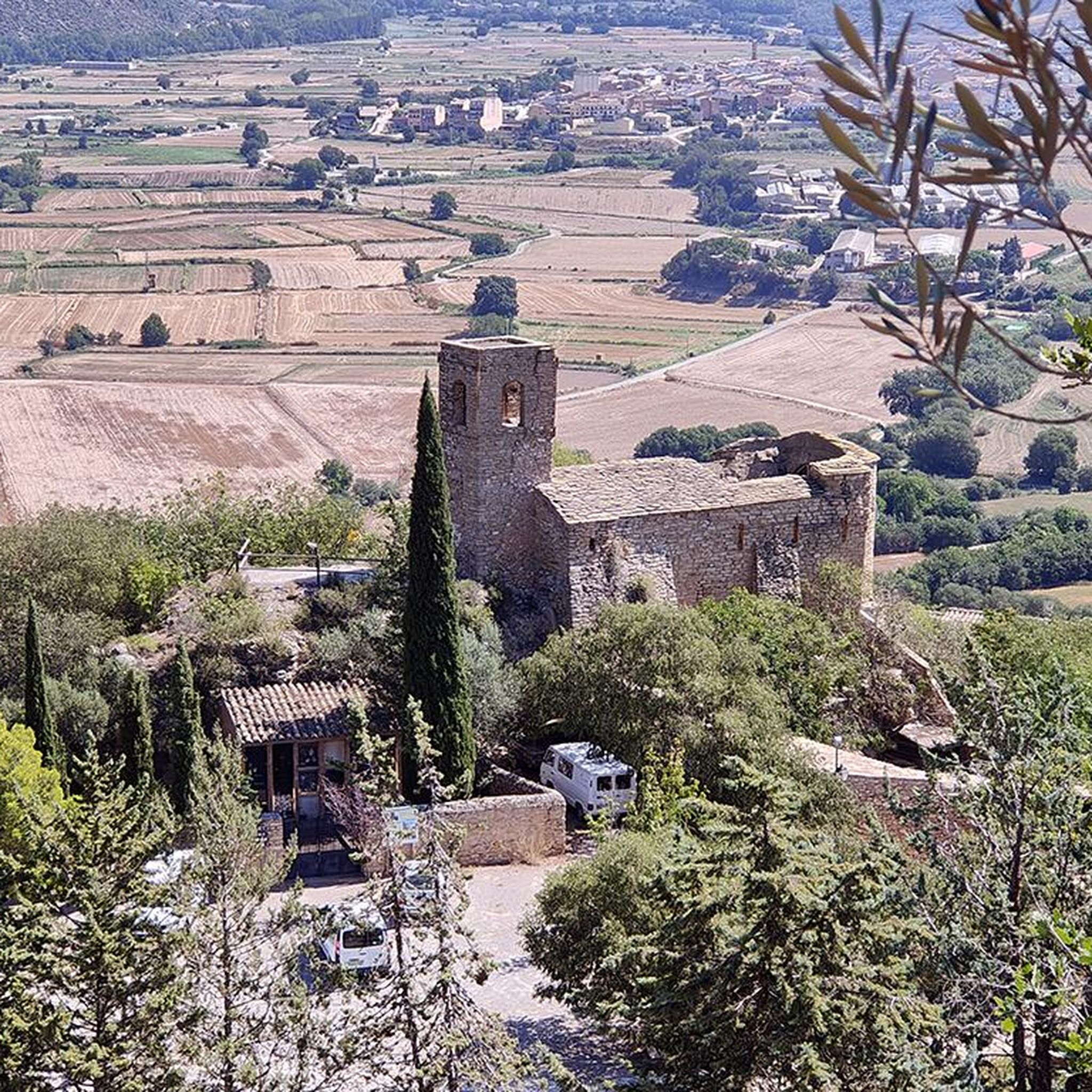
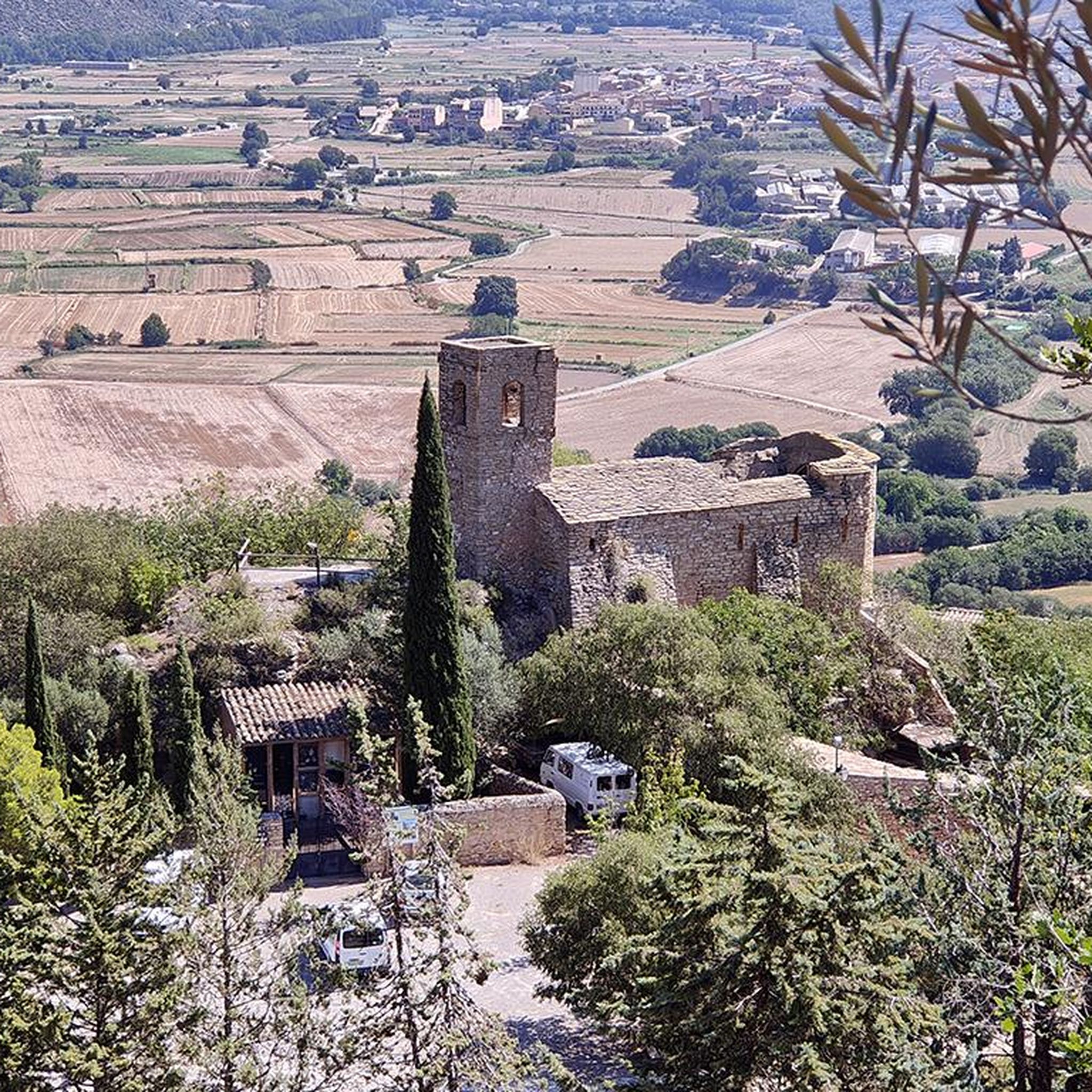
Small Romanesque church in the town of Santa Maria de Montmagrasell.
0
0
Small wooden bridge that allows you to cross the Llobregós at the level of its confluence with the Segre River.
0
0
It begins on the Segre River downstream from the town of Ponts and after traveling about 144 km it ends its route in the town of Montoliu de Lleida.
0
0
Small town located on top of a hill, abandoned, and part of the La Noguera region.
0
0

Agramunt is best known for its traditional nougat and chocolate.
1
0

The Ruins of San Vicente de Almenara are located in the municipality of Agramunt. This historic site is known for its remains of an ancient Romanesque church dating back to the 11th century. The ruins are located in a picturesque natural setting, ideal for hiking and mountain biking enthusiasts.
6
0
The Pilar de Almenara is a medieval defensive tower located at the top of the Sierra de Almenara, near Agramunt, in the Urgell region of Catalonia. This tower, dating from the 11th and 12th centuries, is 14 meters high and offers stunning panoramic views of the Urgell plain. The tower was used for surveillance and defense against Saracen raids and is similar to other Christian defensive towers in the region. From the top, on clear days, you can see as far as the Seu Vella de Lleida.
9
0
フォラダダでのの人気観光スポット

komootモバイルアプリでインスピレーションを得よう


さらに探索
他の地域の最高のグラベルライドを見てみましょう。
