バーグ・アプトンでののおすすめグラベルライド
4.0
(2)
15
ライダー
3
ライド
グラベルバイクでのベルグ・アプトン周辺のサイクリングは、主に田園風景やかつての鉄道線路を走るルートネットワークを提供します。地形は、緩やかに起伏する田園地帯、農耕地、そして混合林道のセクションが特徴です。これらのルートは確立されたトラックや馬車道に沿っており、グラベルバイクに適した多様な路面を提供します。この地域にはチェト川渓谷があり、過去の砂利採掘による起伏のある地形が、ダイナミックで興味深いルートを生み出しています。
ベルグ・アプトン周辺の最高のグラベルバイク用トレイル
- 最も人気のあるグラベルバイク用トレイルは、マリオット・ウェイ – ブルンダル・ガーデンズからのマリオット・ウェイ・ループで、89.0マイル(143.3 km)の距離があり、完了までに8時間20分かかります。このルートは主に廃線となったマリオット・ウェイに沿っています。
- 地元のグラベルバイカーに人気のもう一つのコースは、プランテーション・ブリッジ – ブルンダルからのマリオット・ウェイ・ループで、難易度が高く50.3マイル(81.0 km)の道程です。このトレイルは、マリオット・ウェイの一部と他の田舎道とを組み合わせており、多様な景色を楽しめます。
- 地元のグラベルバイカーに愛されているのは、セント・ピーターズ教会、ブルック – ブルックからのアボッツ・ファーム・トラック・ループで、28.4 km(17.6マイル)のトレイルは地元の村や田園地帯を通り抜け、所要時間は約1時間43分です。
- ベルグ・アプトン周辺のグラベルバイクは、廃線、田舎道、そして穏やかな田園地帯の小道によって特徴づけられます。このネットワークは、中程度からより挑戦的なルートまで、さまざまなレベルのスキルに対応するオプションを提供します。
- ベルグ・アプトンのルートは、komootコミュニティから高く評価されており、2件のレビューで平均4.0つ星を獲得しています。10人以上のグラベルバイカーがkomootを利用して、ベルグ・アプトンの多様な地形を探検しています。
最終更新日: 10月 19, 2026
3.0
(1)
9
ライダー
81.4km
04:48
350m
350m
中程度のグラベルライド. ある程度のフィットネスレベルが必要です。 全般的に舗装された状態です。あらゆるスキルレベルに適しています。
5.0
(1)
4
ライダー
144km
08:20
810m
810m
難しいグラベルライド. 標準以上のフィットネスレベルが必要です。 全般的に舗装された状態です。あらゆるスキルレベルに適しています。

2
ライダー
28.4km
01:43
130m
130m
初級者向けグラベルライド. あらゆるフィットネスレベルに適しています。 全般的に舗装された状態です。あらゆるスキルレベルに適しています。
おすすめのツアーは他のkomootユーザーが実際に経験した何千ものアクティビティに基づいています。
無料アカウントで今日から始めよう
次の冒険が待っています。
コミュニティからのヒント


Coltishall Station is one of the narrow gauge stations on the Bure Valley Railway line. It's also an access point for the nine mile (14.5 km) Bure Valley Path.
0
0

I've ridden Marriotts way many times, and it's a great route. However foolishly I didn't appreciate how muddy many parts of it get when it's been wet.
0
0


Marriott's Way is a 26-mile (42km) surfaced multi-user path which follows the routes of two disused railway lines, running between Aylsham and Norwich.
0
0

Pleasure to ride this mostly continuous path from Aylsham to Norwich (in dry conditions) through changing settings and off-road surfaces
0
0
One of the major stations and exits to towns along the Bure Valley path, with the paths along this stretch being compacted gravel
0
0
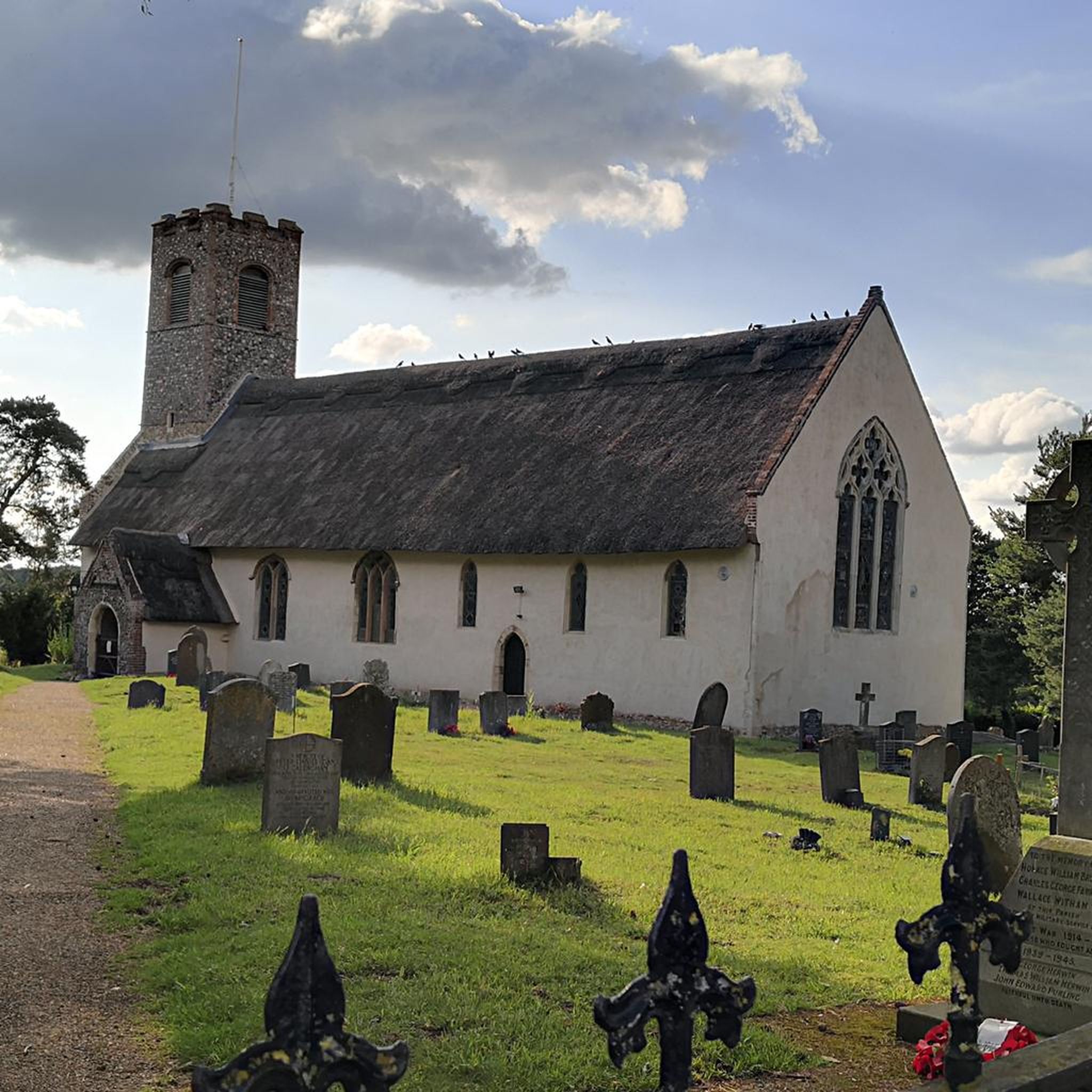
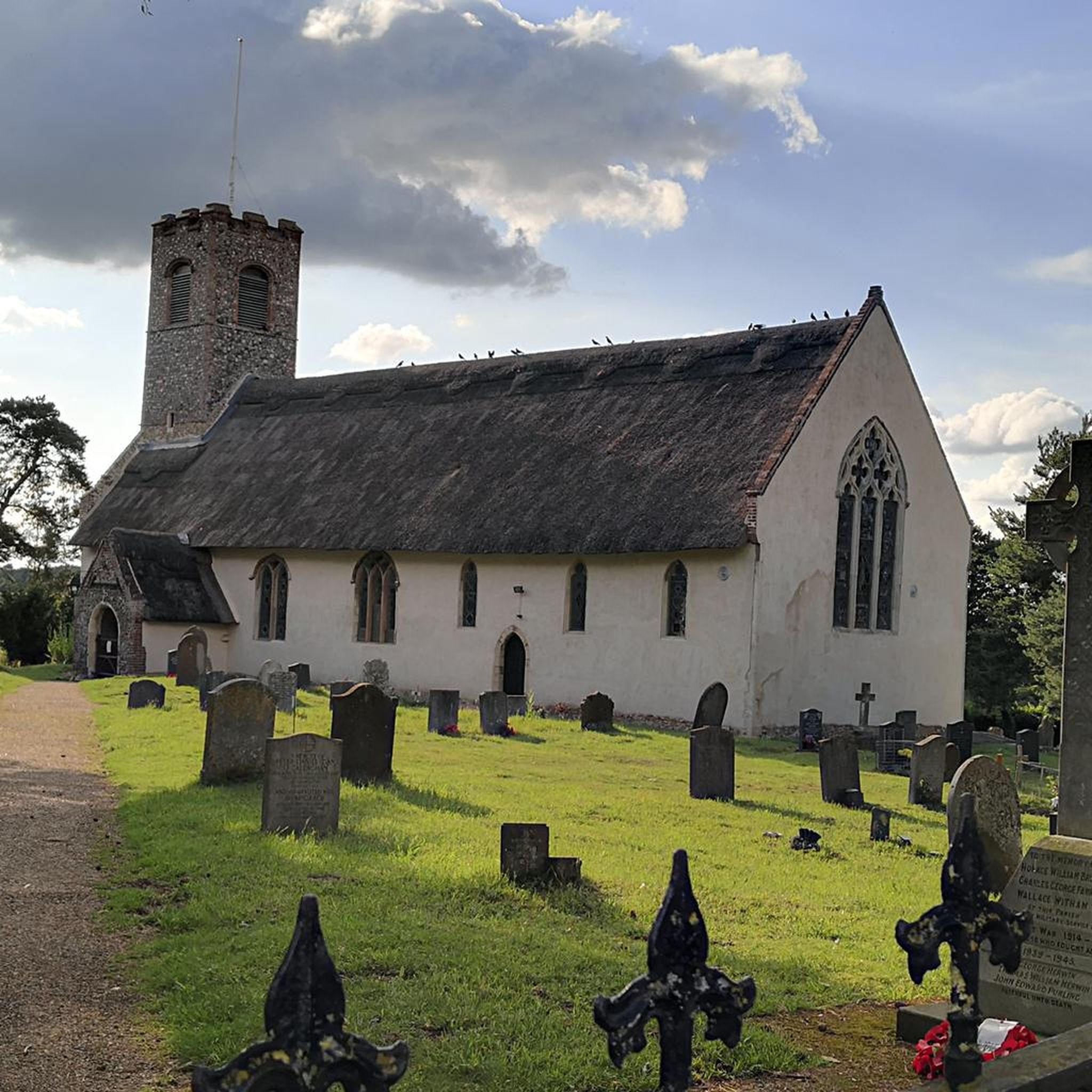
The ruins show just how large this place was in its heyday. The small remaining part now forms a fairly large parish church.
0
0
バーグ・アプトンでのの人気観光スポット

komootモバイルアプリでインスピレーションを得よう


さらに探索
他の地域の最高のグラベルライドを見てみましょう。
