ブライーブでののおすすめグラベルライド
4.4
(12)
83
ライダー
21
ライド
komootがまとめたブライーブでののおすすめグラベルライドを参考にして、グラベルライドの魅力を最大限に楽しみましょう。難易度の高い登り坂や絶景のトレイルなど、あらゆるルートの中から厳選したブライーブでののグラベルライドをご覧ください。
最終更新日: 10月 11, 2026
4.5
(2)
23
ライダー
55.9km
03:44
630m
630m
難しいグラベルライド. 標準以上のフィットネスレベルが必要です。 ツアーの一部で自転車を押して歩く必要があるかもしれません。
4.5
(2)
15
ライダー
29.0km
01:57
380m
380m
中程度のグラベルライド. ある程度のフィットネスレベルが必要です。 全般的に舗装された状態です。あらゆるスキルレベルに適しています。

5.0
(2)
14
ライダー
50.6km
03:05
380m
380m
難しいグラベルライド. ある程度のフィットネスレベルが必要です。 ツアーの一部で自転車を押して歩く必要があるかもしれません。
3.0
(1)
8
ライダー
34.0km
02:08
310m
310m
中程度のグラベルライド. ある程度のフィットネスレベルが必要です。 全般的に舗装された状態です。あらゆるスキルレベルに適しています。
4.0
(1)
5
ライダー
30.6km
01:58
390m
390m
中程度のグラベルライド. ある程度のフィットネスレベルが必要です。 全般的に舗装された状態です。あらゆるスキルレベルに適しています。
さらに多くのルートや他のユーザーのおすすめ情報を確認できます。
すでにアカウントをお持ちですか?
おすすめのツアーは他のkomootユーザーが実際に経験した何千ものアクティビティに基づいています。
無料アカウントで今日から始めよう
次の冒険が待っています。
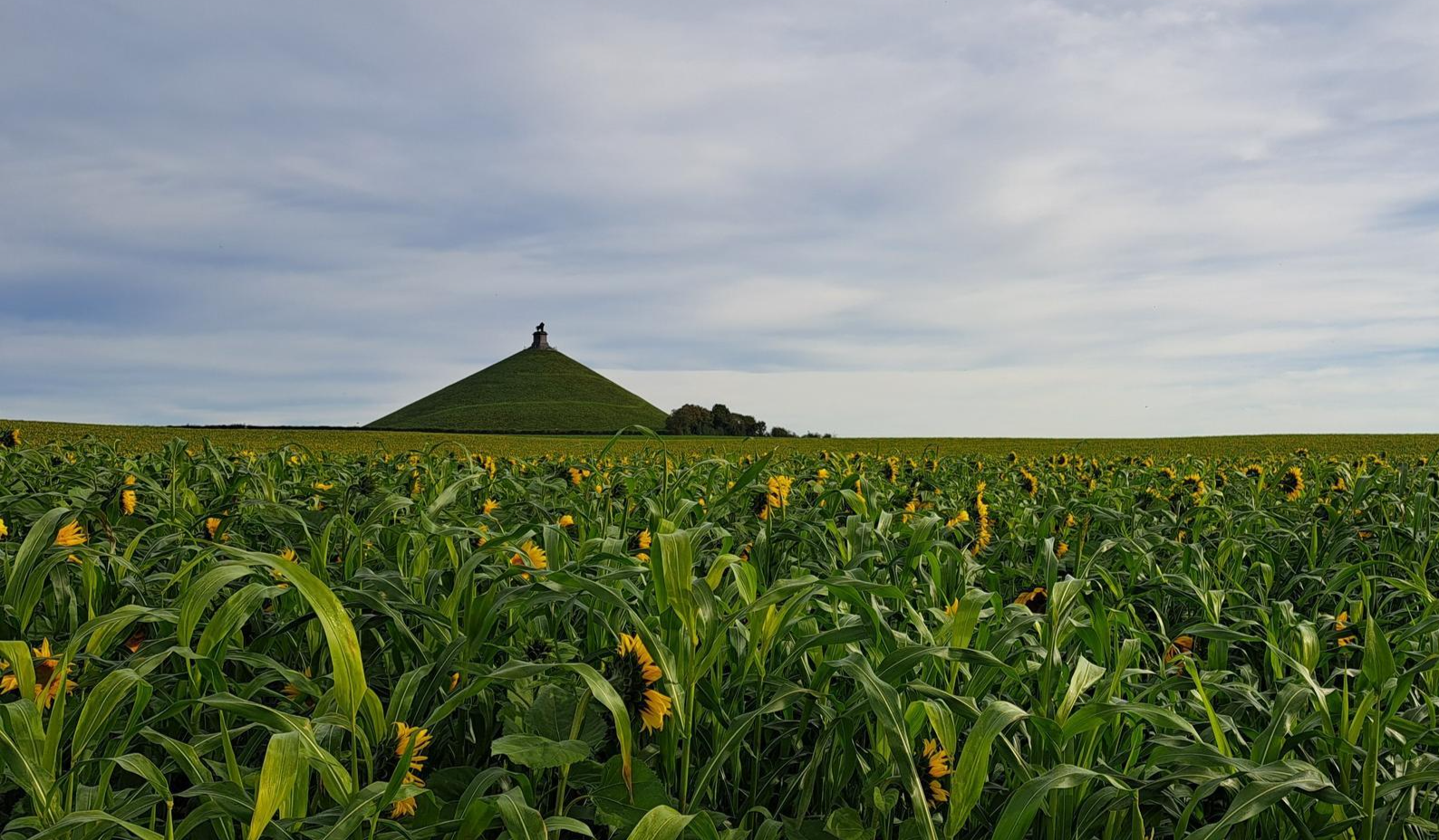
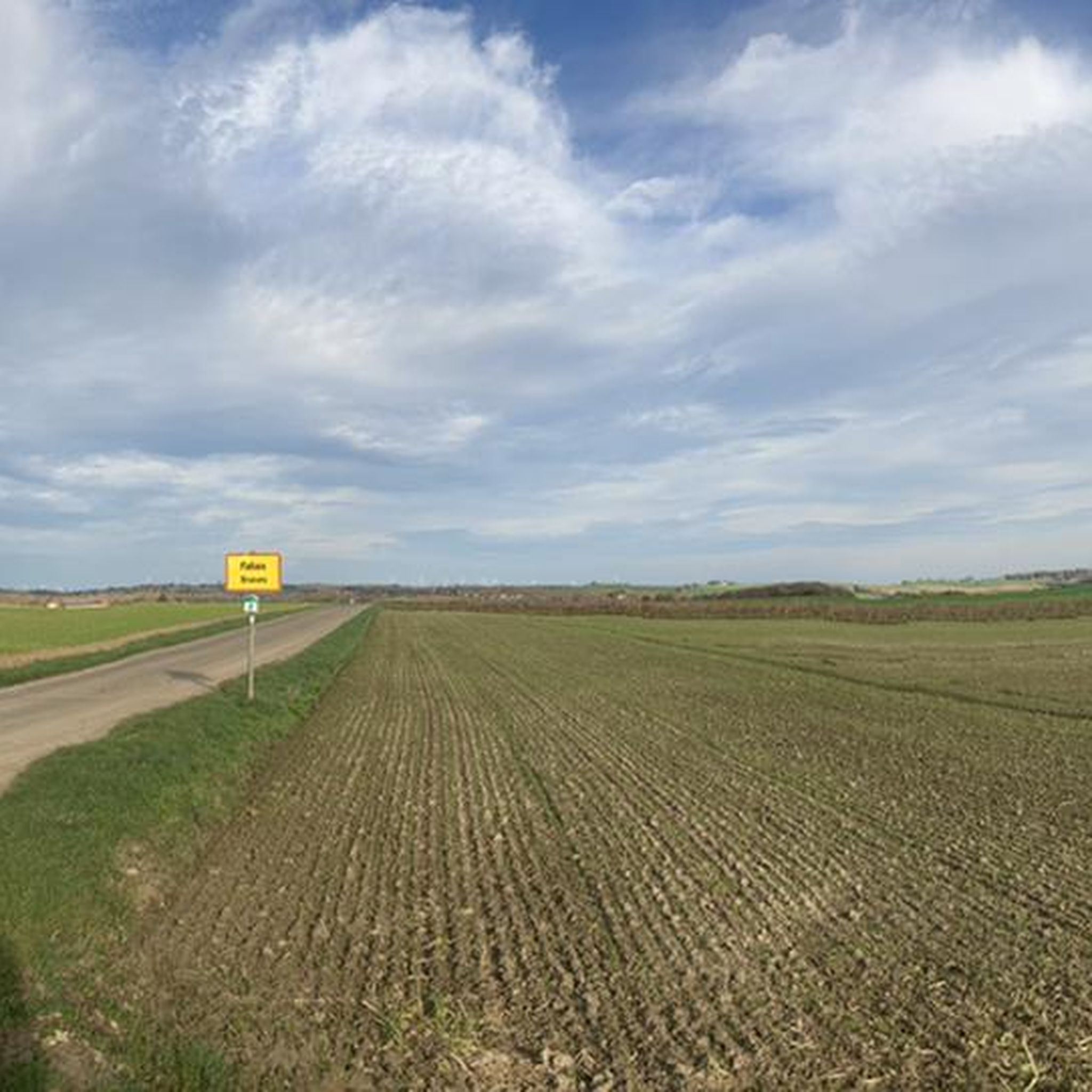
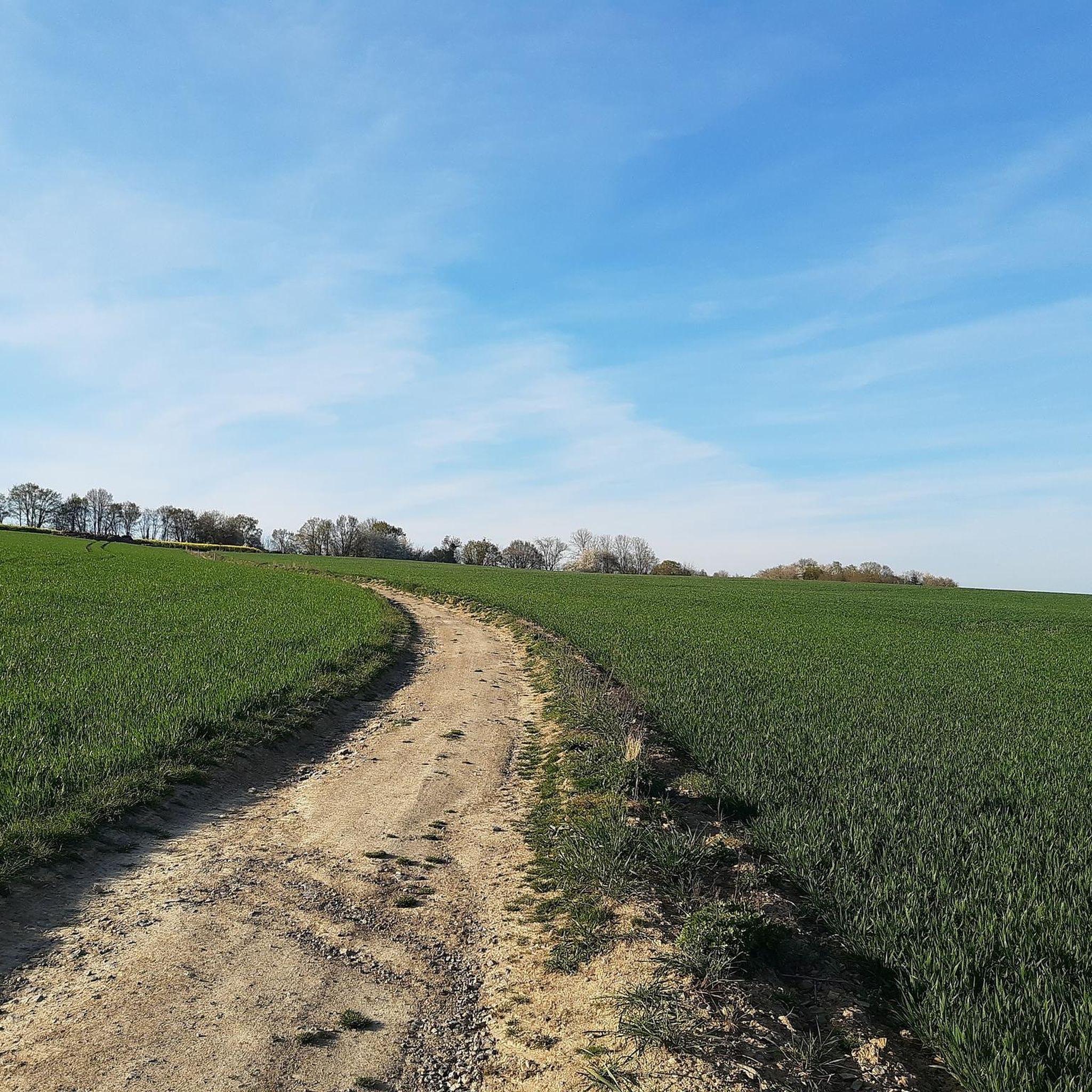
ブライーブでのの他の冒険

コミュニティからのヒント


Tjenneboomは、3世紀以上前にこの場所で火刑に処されたとされる魔女Tjenneを偲ばせるものです。この場所は、村のはずれ、つまり周辺の最も高い地点にある火刑台や絞首台に典型的なものです。この木は、かつての4つの自治体、ヘルショフェン、ゴテム、メッテコーフェン、フォールトの境界に位置しており、境界の木としても見なすことができます。最後に、この木はローマ街道のルート、すなわちバヴェとトンゲレンを結ぶ歴史的なローマの接続をマークしています。これは1970年に植えられた、この場所にある3番目の木です。この場所は、待ち合わせ場所としても整備されました。一本立ちの白いポプラは、風景の中の重要な目印です。開けた農村風景の最も高い地点という立地のため、広範囲から見ることができます。さらに、美しく、代表的な成長形をしています。 @https://inventaris.onroerenderfgoed.be/aanduidingsobjecten/9752
3
0

砂利採取場は、写真愛好家や、手入れの行き届いた小道を歩き、静かに鳥を観察したい散歩者にとって、非常に豊かな場所です。ハイカーや写真家におすすめの場所です。 犬はリードにつないでおくなど、指示に従ってください(たとえ一部の人が犬を自由にしても害はないと考えていても、捕食本能を持つ動物がいることを知っておいてください。これは地上で営巣するカワセミなどの一部の鳥を追い払う可能性があります)。また、鳥を邪魔しないように水浴びはしないでください。指示に従ってくださるすべての方々に感謝いたします。ハイキングや写真撮影を楽しんでください 🙏。
1
0

This RAVeL follows the old railway line 127, which once ran from Hannut to Huccorgne. The RAVeL winds through the heart of Hesbaye, past grain fields and orchards, and through villages like Villers-le-Peuplier and Avennes, before ending in the Burdinale and Mehaigne Valley Nature Park.
2
0
Excavations are conducted year-round at Moha Castle, making it unique in Belgium. When I visited, two archaeologists were uncovering a wall that runs beneath the visible castle and likely dates back to the 12th century.
2
0
The castle is free to visit. At the foot of the rock, there's a visitor center where you can pick up a badge to open the gate. For €4, you can also get a brochure with information about the most important points. The castle is only open to visitors starting in April, but the friendly man at the visitor center let me in on February 27th... as far as you can even call it "inside" at this ruin ;-)
2
0
The fortified tower, situated on the edge of the Fosseroule stream and defending the valley, is considered a peripheral bastion of Moha Castle, located a mile and a half away. Agricultural and residential buildings form an enclosed complex, built between the 17th and 19th centuries. In the eastern corner stands an imposing tower, built of limestone rubble, with a square plan (16th century) on a wider, sloping base. This tower originates from an earlier structure, the cellars of which have also been preserved. The openings were modified, and in the 17th century, the tower was extended on the south side with a bay of limestone rubble and brick, reaching the limits of the original structure. To the west of the tower stands a two-story house, perpendicular to the tower, built of limestone rubble, probably dating from the 17th century. Source: bibliotheca.wanze.be
3
0
ブライーブでのの人気観光スポット

komootモバイルアプリでインスピレーションを得よう


さらに探索
他の地域の最高のグラベルライドを見てみましょう。
