スコーテンでののおすすめグラベルライド
4.3
(305)
3,723
ライダー
98
ライド
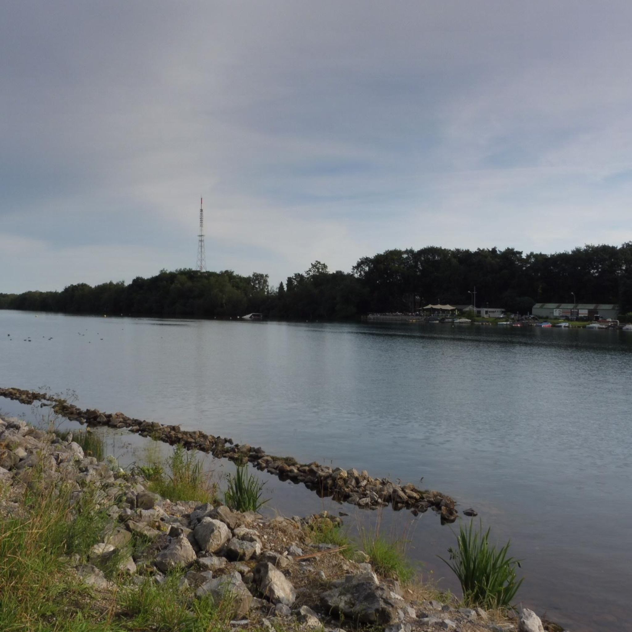
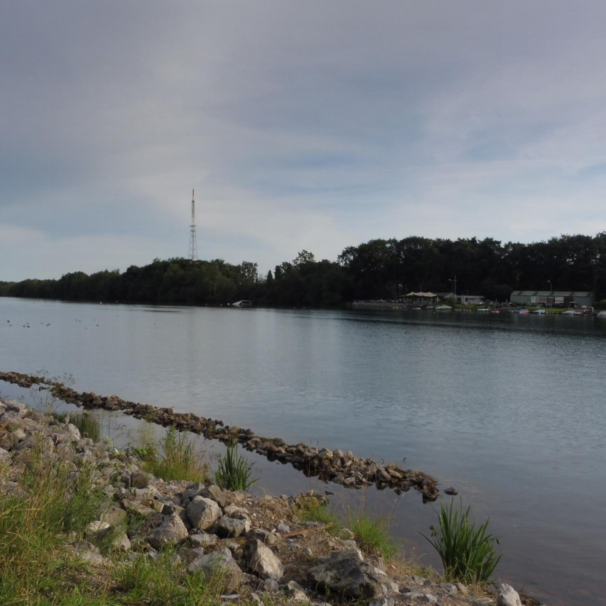
グラベルサイクリングは、歴史的な水路と広大な緑地によって形作られた景観の中を走るルートを提供します。この地域には、33キロメートルの歴史的な人工水路である対戦車運河(Anti-tank Canal)沿いの直線的な道や、スヘルデ・ライン運河(Scheldt–Rhine Canal)があります。ペールツボス(Peerdsbos)やボールデンシュタイン公園(Vordenstein Park)のような広大な森林地帯もグラベルバイクコースのネットワークに貢献し、サイクリストに多様な地形を提供しています。このエリアは、戦争用掩体や多様な生態系を含む、自然と歴史的特徴のミックスをアウトドアアクティビティのために提供しています。
ショッテン周辺の最高のグラベルバイクコース
- 最も人気のあるグラベルバイクコースは、対戦車運河 – フォート・オエレヘム周回コース(マリア・テール・ハイド発)で、所要時間4時間32分、距離64.9km(40.3マイル)です。このルートは、歴史的な対戦車運河とその周辺を巡ります。
- 地元のグラベルバイカーに人気のもう一つのコースは、森沿いの道 – スハンス・ファン・スヒルデ周回コース(ス=グラフェンウェゼル発)で、難易度が高く、距離35.4km(22.0マイル)です。このコースは、森林地帯を抜け、歴史的な要塞を通り抜けます。
- 地元のグラベルバイカーに愛されているのは、対戦車運河 – 対戦車壕アントワープ周回コース(スポーツ発)で、距離48.6km(30.2マイル)のこのルートは、歴史的な運河沿いの道を走り、所要時間は約2時間36分です。
- ショッテン周辺のグラベルサイクリングは、歴史的な運河、森林地帯、そして平坦から緩やかに起伏のある地形が特徴です。このネットワークは、簡単なライドからより挑戦的な長距離ルートまで、さまざまなレベルのサイクリストに対応しています。
- ショッテンのルートは、komootコミュニティから高く評価されており、180件以上のレビューで平均4.3つ星を獲得しています。2,400人以上のグラベルバイカーがkomootを利用して、ショッテンの多様な地形を探索しています。
最終更新日: 10月 6, 2026
3.0
(1)
54
ライダー
64.1km
03:39
90m
90m
中程度のグラベルライド. ある程度のフィットネスレベルが必要です。 全般的に舗装された状態です。あらゆるスキルレベルに適しています。
4.3
(9)
58
ライダー
36.2km
02:09
50m
50m
難しいグラベルライド. ある程度のフィットネスレベルが必要です。 ツアーの一部で自転車を押して歩く必要があるかもしれません。

32
ライダー
86.2km
05:05
110m
110m
難しいグラベルライド. 標準以上のフィットネスレベルが必要です。 全般的に舗装された状態です。あらゆるスキルレベルに適しています。
5.0
(2)
56
ライダー
64.2km
03:47
100m
100m
難しいグラベルライド. ある程度のフィットネスレベルが必要です。 ツアーの一部で自転車を押して歩く必要があるかもしれません。
35
ライダー
58.4km
03:08
80m
80m
中程度のグラベルライド. ある程度のフィットネスレベルが必要です。 全般的に舗装された状態です。あらゆるスキルレベルに適しています。
さらに多くのルートや他のユーザーのおすすめ情報を確認できます。
すでにアカウントをお持ちですか?
おすすめのツアーは他のkomootユーザーが実際に経験した何千ものアクティビティに基づいています。
無料アカウントで今日から始めよう
次の冒険が待っています。
コミュニティからのヒント

博物館、そして良いブラッスリーがあり、そのうちの一つはかつての士官食堂です
0
0

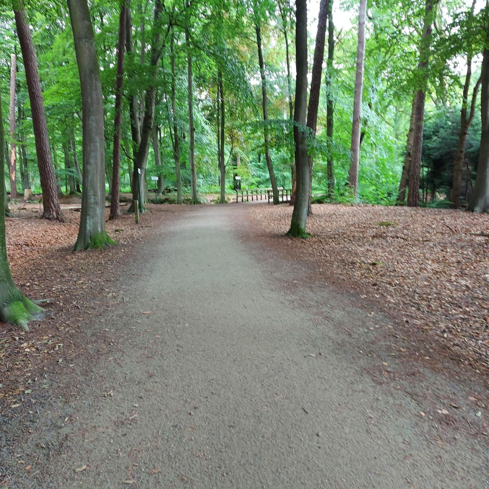
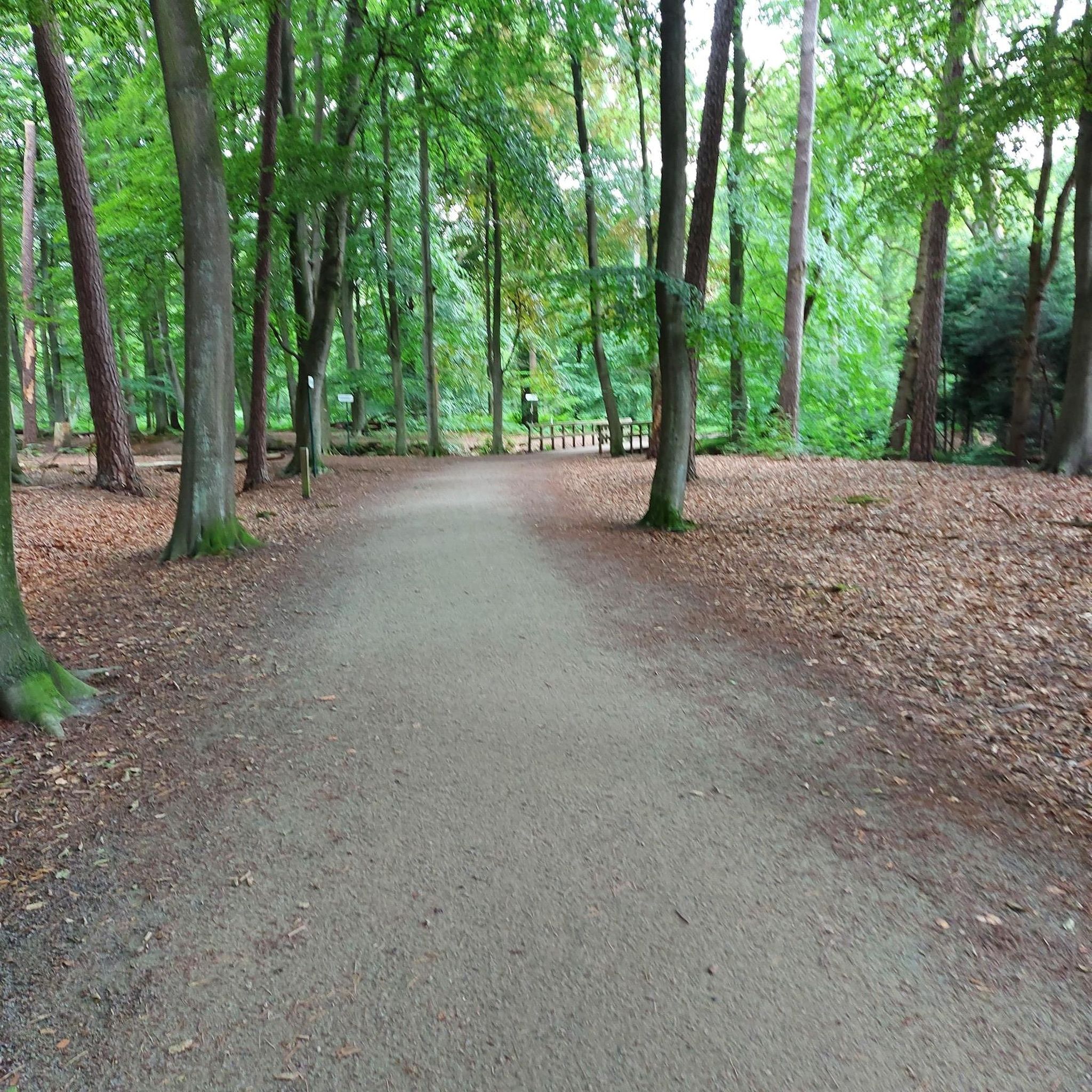
Beautiful avenue with a cycle and walking path; the avenue leads towards the abbey.
0
0
Path through the forest towards the abbey and brewery of Westmalle.
0
0
Beautiful walking and cycling path through an avenue.
0
0
Pleasant cycling on that cycle path.
1
0

Misname: This is Fort 's-Gravenwezel and is located near Schildestrand. Not much remains of the original buildings at Fort 's-Gravenwezel. The area is now the Schildestrand recreational area. Cyclists can explore the fort along with Fort Oelegem and Fort Kessel via the "Antitankgracht en heide" (Anti-tank ditch and heathland) route, or you can create your own route using the cycling junctions. Fort 's-Gravenwezel is located at junction 30. You can take a walk near the fort on foot using the walking junctions. The fort is located at junction 91 of the "Kempense Hoven" network. From here, you can enjoy beautiful walks along the numerous castle grounds.
6
0
A pleasant bike path along the Antitank Ditch. It can get quite busy here on weekends. Courtesy is therefore essential. Enjoy together, each at your own pace.
4
0
スコーテンでのの人気観光スポット

komootモバイルアプリでインスピレーションを得よう


さらに探索
他の地域の最高のグラベルライドを見てみましょう。
