ジナスコでののおすすめグラベルライド
4.2
(44)
395
ライダー
49
ライド
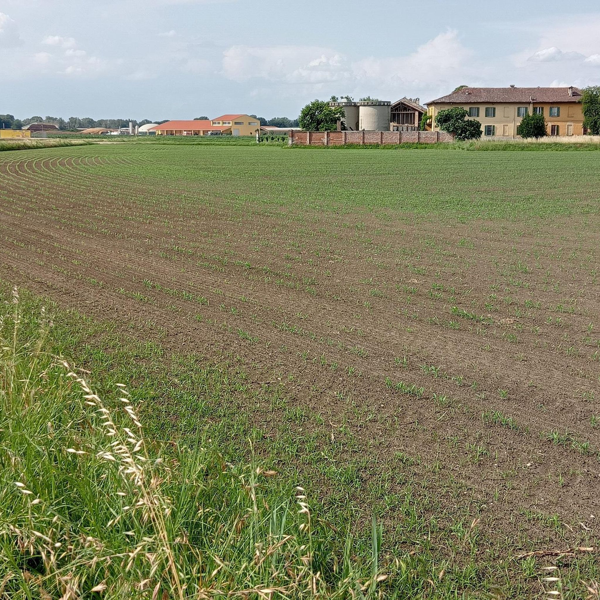
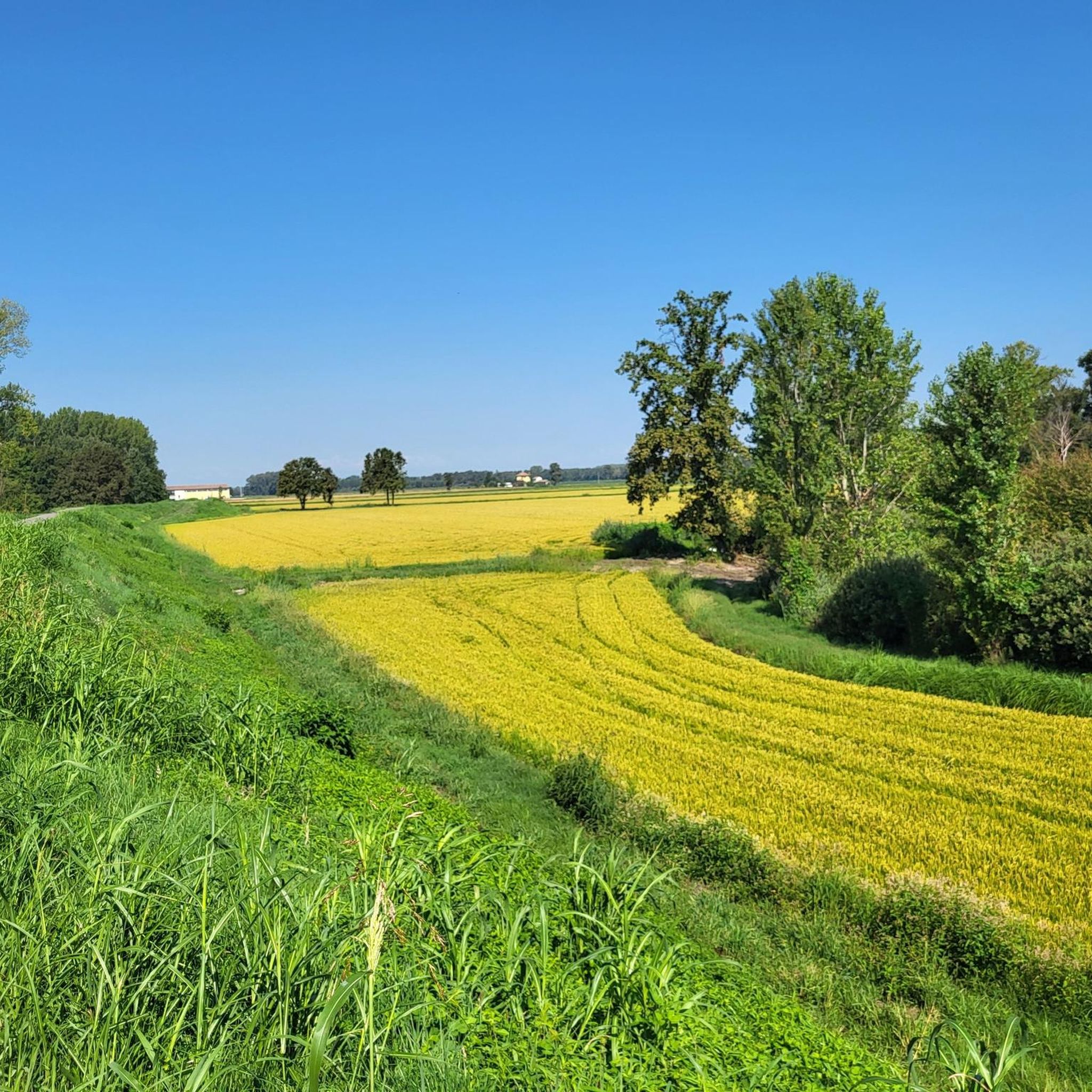
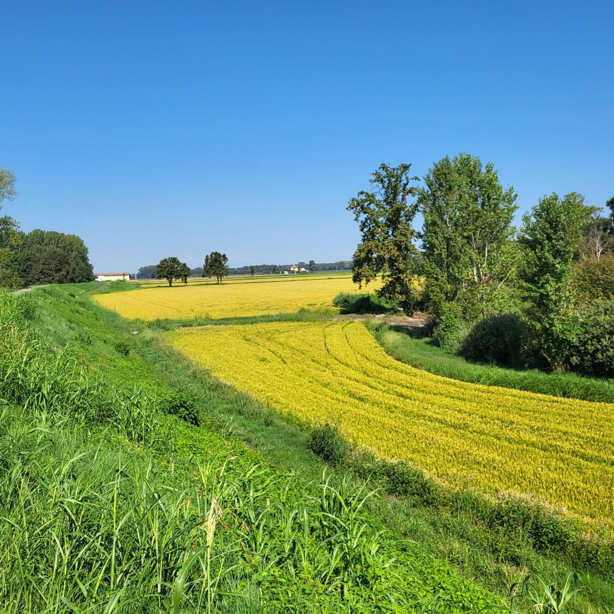
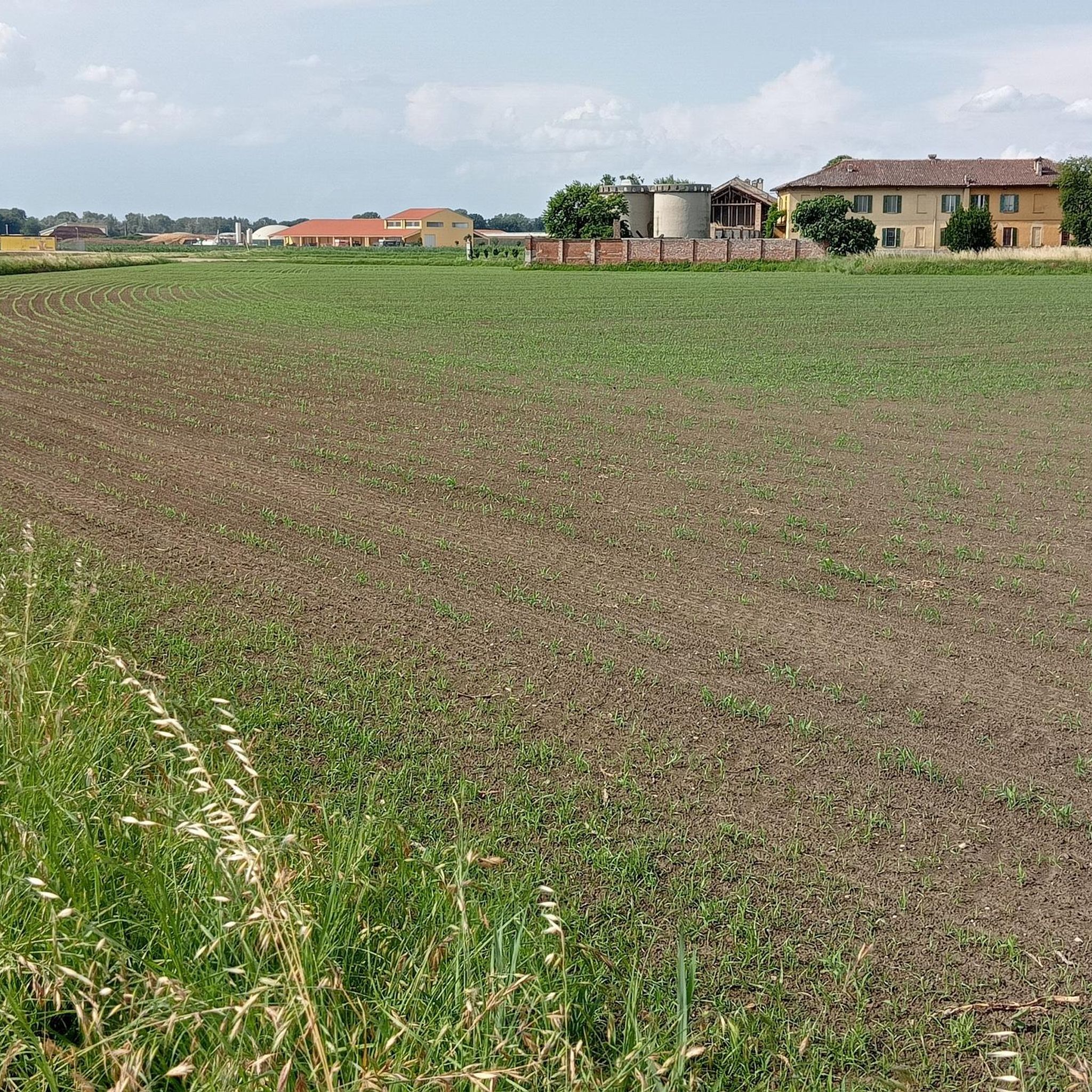
グラベルサイクリングは、主にティチーノ川とその支流に沿った平坦で河岸の景観が特徴です。地形は主に河岸平野と農耕地で構成されており、標高の変化がほとんどないルートを提供します。イタリアのパヴィア県にあるロメッリナの一部であるこの地域は、広大な水田と広大な灌漑用水路網を特徴としています。このエリアには、グラベルバイクに適したトレイルネットワークがあり、既存のサイクリングロードや静かな田舎道がよく利用されています。
Zinasco周辺の最高のグラベルバイクトレイル
- 最も人気のあるグラベルバイクトレイルは、ティチーノ川のハウスボート – パヴィア発ティチーノ川沿いのループで、所要時間1時間34分、距離22.6kmのトレイルです。このイージーなルートからはティチーノ川沿いの景色を楽しめます。
- 地元のグラベルバイカーに人気のもう一つのトレイルは、パヴィアの屋根付き橋 – トッレ・ディ・ゾーラ発ヴィットーリア広場へのループで、距離44.8kmの中級ルートです。このルートは、歴史的なパヴィアの屋根付き橋と周辺の平坦な土地を特徴としています。
- 地元のグラベルバイカーに愛されているのは、コペルト橋の眺め – パヴィア発コペルト橋のループで、距離26.6kmのトレイルは、コペルト橋近くの河岸平野を通り抜け、所要時間は約1時間32分です。
- Zinasco周辺のグラベルサイクリングは、川沿いのトレイル、運河沿いのルート、そして農耕地の景観によって定義されます。このネットワークは、Zinascoの家族向けのイージーなグラベルバイクルートから、より挑戦的な長距離トレイルまで、さまざまなスキルレベルに対応するオプションを提供します。
- Zinascoのルートは、komootコミュニティから高く評価されており、17件以上のレビューで平均4.0つ星を獲得しています。270人以上のグラベルバイカーがkomootを利用して、Zinascoの多様な地形を探索しています。
最終更新日: 9月 11, 2026
4.6
(12)
74
ライダー
49.9km
03:21
190m
190m
中程度のグラベルライド. ある程度のフィットネスレベルが必要です。 全般的に舗装された状態です。あらゆるスキルレベルに適しています。
4.5
(2)
25
ライダー
58.7km
03:44
150m
150m
中程度のグラベルライド. ある程度のフィットネスレベルが必要です。 全般的に舗装された状態です。あらゆるスキルレベルに適しています。

5.0
(1)
13
ライダー
89.7km
05:50
180m
180m
難しいグラベルライド. 標準以上のフィットネスレベルが必要です。 全般的に舗装された状態です。あらゆるスキルレベルに適しています。
3.0
(1)
14
ライダー
45.0km
02:36
110m
110m
難しいグラベルライド. ある程度のフィットネスレベルが必要です。 ツアーの一部で自転車を押して歩く必要があるかもしれません。
5.0
(1)
12
ライダー
21.6km
01:19
60m
60m
初級者向けグラベルライド. あらゆるフィットネスレベルに適しています。 全般的に舗装された状態です。あらゆるスキルレベルに適しています。
さらに多くのルートや他のユーザーのおすすめ情報を確認できます。
すでにアカウントをお持ちですか?
おすすめのツアーは他のkomootユーザーが実際に経験した何千ものアクティビティに基づいています。
無料アカウントで今日から始めよう
次の冒険が待っています。
コミュニティからのヒント

自然に囲まれた一周で、夏も冬も非常に美しく、よく整備され、歩きやすい小道を散策しながら、非常に印象的な自然の景色を楽しむことができます。
0
0

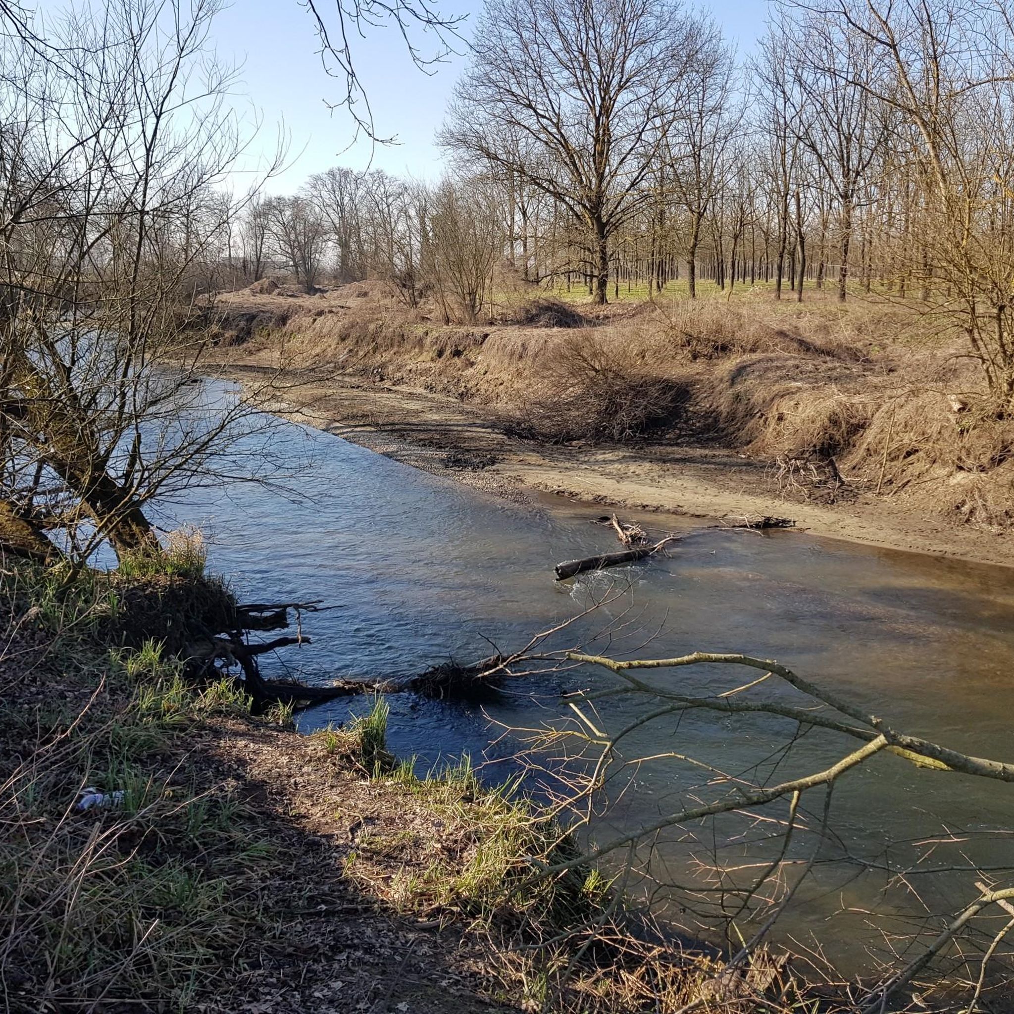
The trail runs in a very elevated position, on the edge of a plain that surrounds the outer part of a large bend of the Ticino River. The plain ends abruptly in a steep overhanging cliff caused by the erosion of the water at its base. The trail runs through greenery and flowers, in a panoramic position from which you can admire the branch from which it comes, and the one from which the water flows into the bend that flows at your feet. The large gravelly esplanades on the opposite bank inside the bend of the river are also veiled.
0
0

It would be a spectacular route but unfortunately lately, given the adverse weather, it is practically impassable along certain sections, and above all both the bridges and the fords are missing, which are now impassable. A big shame!
1
0

Along the embankment on asphalt, watch out for potholes
1
0
Beautiful simple roads for mtb and gravel, the city side winds up to the Golf Club then goes up on asphalt, the city side winds up to Bereguardo all on a dirt road along the river
2
0

The Parco del Ticino is a beautiful nature reserve that extends across the regions of Lombardy and Piedmont in Italy. The Ticino River extends for a total length of 248 kilometers, from the Passo di Novena in Switzerland to its confluence with the Po. Within the park, the stretch from Sesto Calende (VA) to the Ponte della Becca (PV) covers a length of 110 kilometers. The park is crossed by more than 750 kilometers of cycling and walking paths, of which more than 100 kilometers are along the banks of the canals.
2
0
Confluence of the Naviglio Pavese with the Fiume Ticino: The Naviglio Pavese is one of the canals that are part of the Navigli system in Lombardy. Once navigable, it stretches for 33 kilometers and connects the city of Milan to Pavia, and through a series of six locks to the River Ticino.
6
0
Beautiful and picturesque cycle path along the Ticino.
7
0
ジナスコでのの人気観光スポット

komootモバイルアプリでインスピレーションを得よう


さらに探索
他の地域の最高のグラベルライドを見てみましょう。
