サルザナでののおすすめグラベルライド
4.7
(9)
89
ライダー
9
ライド
Gravel biking around Sarzana offers diverse terrain situated between the Ligurian Sea and the Apennine Mountains. The region features a mix of coastal scenery, rolling hills, and mountainous landscapes, providing varied routes. The Magra River valley contributes predominantly flat, often unpaved paths, while higher elevations offer challenging ascents. This geographical position allows for routes traversing picturesque countryside, fertile river valleys, and mountain foothills.
Best gravel bike trails around Sarzana
- The most popular gravel bike trail is Alta Via dei Monti…
最終更新日: 8月 28, 2026
12
ライダー
88.4km
06:47
1,780m
1,780m
難しいグラベルライド. 標準以上のフィットネスレベルが必要です。 全般的に舗装された状態です。あらゆるスキルレベルに適しています。
4.8
(5)
43
ライダー
35.4km
02:15
480m
480m
難しいグラベルライド. 標準以上のフィットネスレベルが必要です。 全般的に舗装された状態です。あらゆるスキルレベルに適しています。

無料新規登録
5.0
(2)
5
ライダー
49.9km
03:48
1,250m
1,250m
難しいグラベルライド. 標準以上のフィットネスレベルが必要です。 全般的に舗装された状態です。あらゆるスキルレベルに適しています。
4.0
(1)
8
ライダー
23.7km
01:48
630m
630m
難しいグラベルライド. 標準以上のフィットネスレベルが必要です。 全般的に舗装された状態です。あらゆるスキルレベルに適しています。
5.0
(1)
6
ライダー
64.7km
03:47
300m
300m
中程度のグラベルライド. ある程度のフィットネスレベルが必要です。 全般的に舗装された状態です。あらゆるスキルレベルに適しています。
さらに多くのルートや他のユーザーのおすすめ情報を確認できます。
無料新規登録
すでにアカウントをお持ちですか?
おすすめのツアーは他のkomootユーザーが実際に経験した何千ものアクティビティに基づいています。
無料アカウントで今日から始めよう
次の冒険が待っています。
ログインまたは登録

コミュニティからのヒント

カッラーラとその沿岸地区マリーナ・ディ・カッラーラは、トスカーナ州では他に類を見ない組み合わせであり、リグーリア海に面した活気あるビーチリゾートに、アプアーネ・アルプスの並外れた山岳風景と白い大理石の採石場を組み合わせています。
0
0
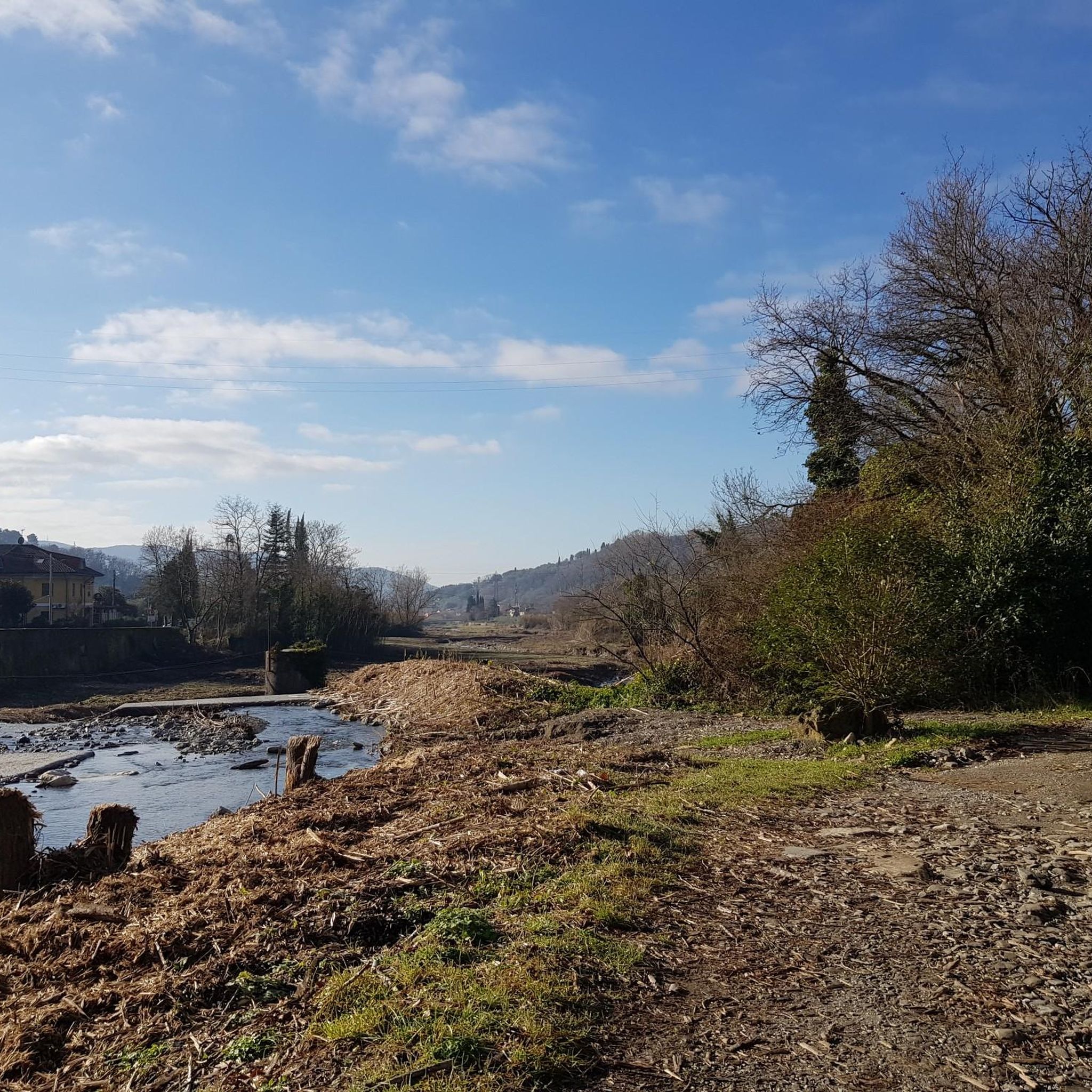
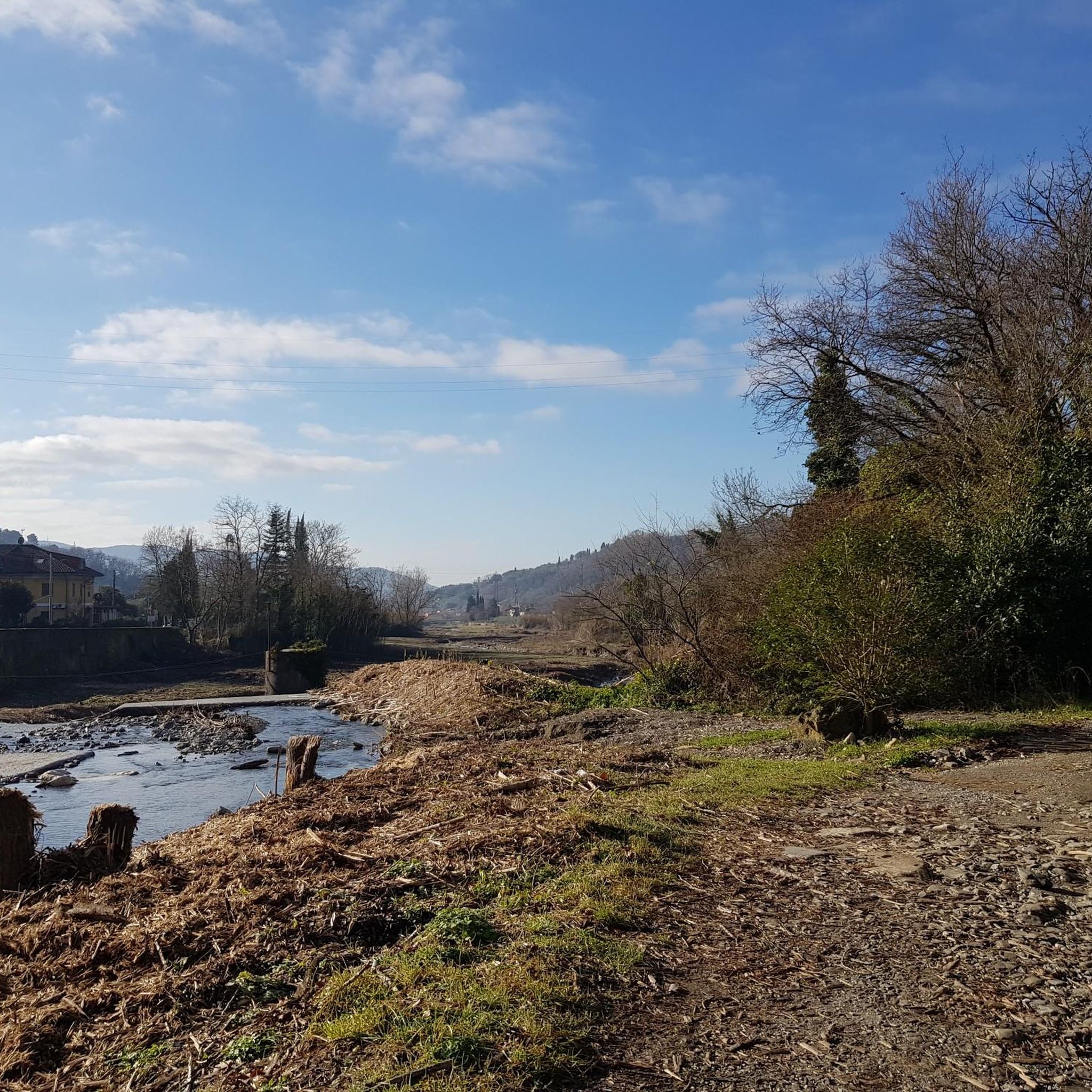
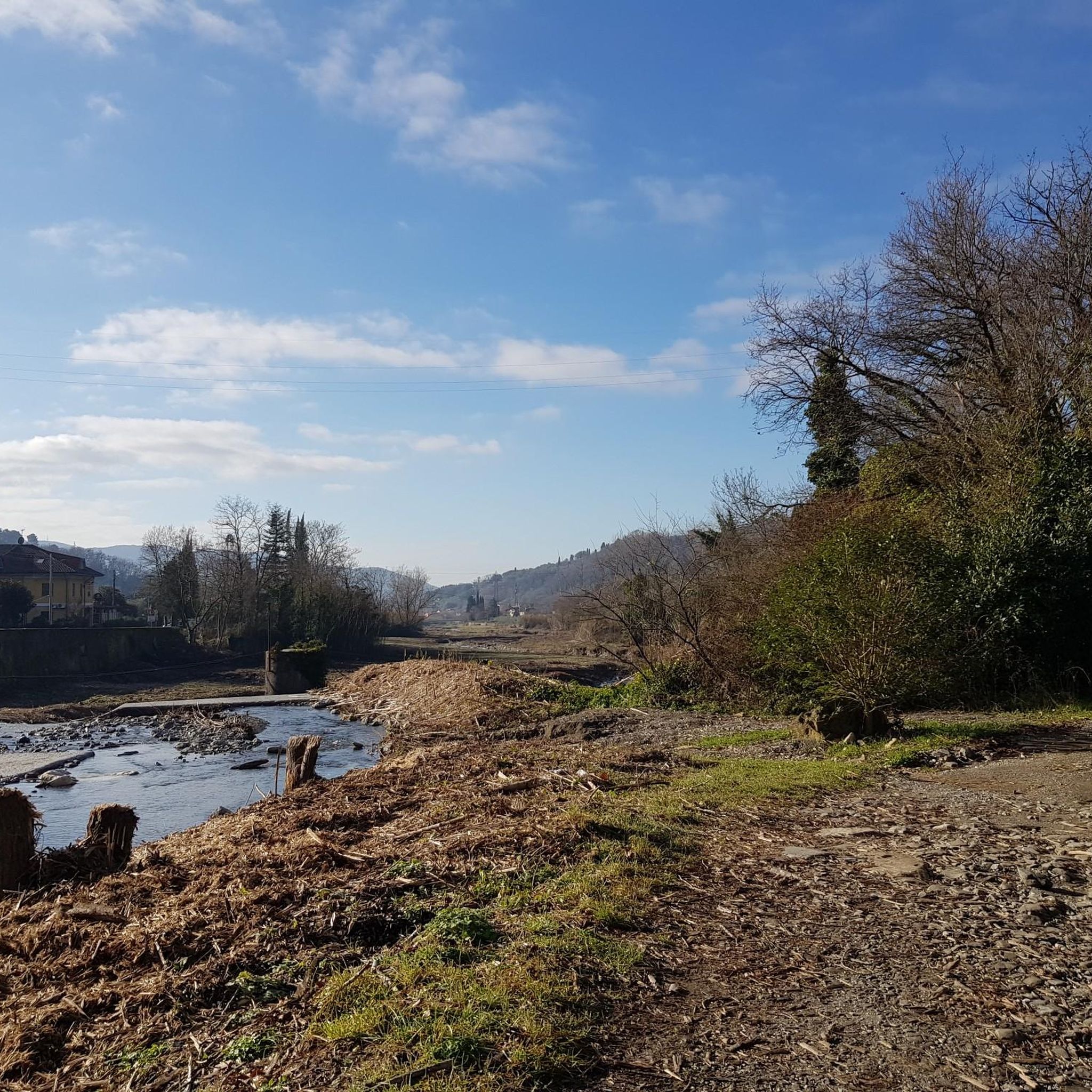
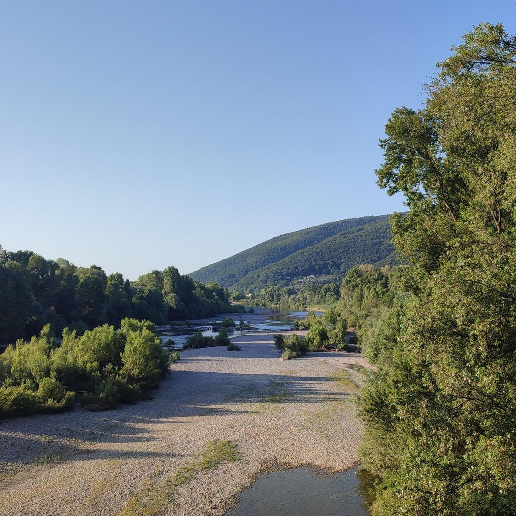
マグラ川は、トスカーナ州とリグーリア州の間を流れる、全長62キロメートルのイタリア中部における重要な河川です。河口での平均流量において、リグーリア州の主要な河川となっています。標高1,401メートルのボルゴニョーネ山から源を発し、肥沃なマグラ谷を横切り、ボッカ・ディ・マグラの場所でリグーリア海に注いでいます。
0
0
マグラ川は、中央イタリアにある全長62キロメートルの重要な河川で、トスカーナ州とリグーリア州の間を流れています。河口での平均流量において、リグーリア州の主要な河川となっています。標高1,401メートルのボルゴニョーネ山(Monte Borgognone)を源流とし、肥沃なマグラ渓谷(Val di Magra)を流れ、ボッカ・ディ・マグラ(Bocca di Magra)の地先でリグーリア海に注いでいます。
0
0
Bocca di Magraは、アメリア自治体に属する魅力的な海岸沿いの集落で、ラ・スペツィア県にあり、同名のマグラ川の河口に位置しています。古代の漁村であるこの地域は、リグーリア州とトスカーナ州の境界にあり、モンテマルチェッロ・マグラ・ヴァラ地域自然公園の緑に囲まれています。
0
0
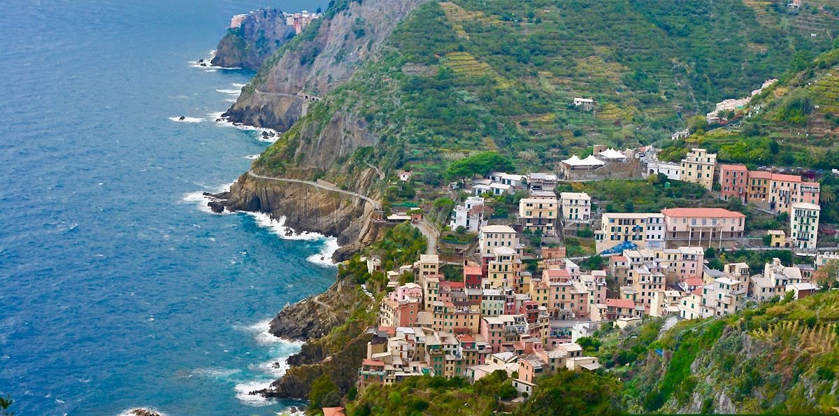
周囲の山々から見たレリーチの眺めは、詩人の湾の壮大な景色を提供し、ポルトヴェーネレ、パルマリア島、ティーノ島まで広がっています。ラ・セッラ、プッリョーラ、ソラーロのような丘の上の村々は、モンテマルチェッロ・マグラ公園の小道とともに、最も美しく示唆に富む展望ポイントを提供しています。
0
0

Passo Alpicella is located at 710m above sea level and is part of the 42nd stage of the Alta Via dei Monti Liguri. It is located on the watershed ridge between Val di Vara and Valle del Magra, offering open views that on clear days reach the Apuan Alps and the Gulf of Poets.
0
0
The dirt road that connects the hamlet of Bagatello to Valico dei Solini follows the route of the 43rd stage of the Alta Via dei Monti Liguri (Ceparana–Valico dei Solini) and also partly coincides with a segment of the Lunigiana Gravel. The route is easy to ride: the surface is largely compact and stable, ideal for gravel and MTB. Some short sections have a slightly more unstable surface, with loose gravel or uneven terrain, but overall the ride is smooth and pleasant, even uphill. The natural setting is very suggestive, with wooded sections and open views towards the Val di Vara.
0
0

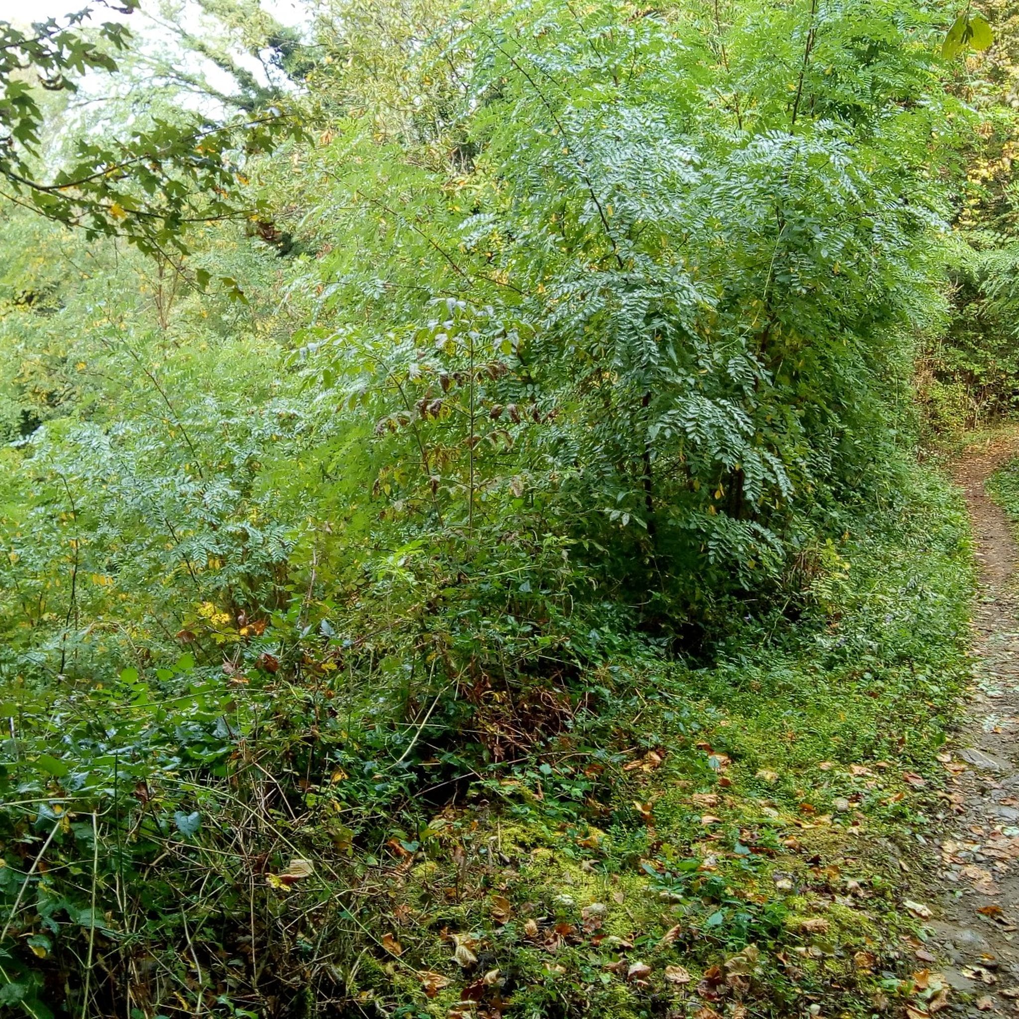
nice climb with nice descent have a good trip
0
0

komootモバイルアプリでインスピレーションを得よう


さらに探索
他の地域の最高のグラベルライドを見てみましょう。
