ニューサウスウェールズ州でののおすすめグラベルライド
4.5
(61)
1,009
ライダー
109
ライド
komootがまとめたニューサウスウェールズ州でののおすすめグラベルライドを参考にして、グラベルライドの魅力を最大限に楽しみましょう。難易度の高い登り坂や絶景のトレイルなど、あらゆるルートの中から厳選したニューサウスウェールズ州でののグラベルライドをご覧ください。
最終更新日: 8月 31, 2026
4.5
(22)
75
ライダー
23.0km
01:38
270m
270m
中程度のグラベルライド. ある程度のフィットネスレベルが必要です。 全般的に舗装された状態です。あらゆるスキルレベルに適しています。
31
ライダー
78.5km
06:19
1,120m
1,120m
難しいグラベルライド. 標準以上のフィットネスレベルが必要です。 全般的に舗装された状態です。あらゆるスキルレベルに適しています。

無料新規登録
25
ライダー
中程度のグラベルライド. ある程度のフィットネスレベルが必要です。 全般的に舗装された状態です。あらゆるスキルレベルに適しています。
4.5
(2)
28
ライダー
52.9km
04:07
840m
840m
難しいグラベルライド. 標準以上のフィットネスレベルが必要です。 全般的に舗装された状態です。あらゆるスキルレベルに適しています。
3.0
(2)
35
ライダー
48.6km
03:11
610m
610m
難しいグラベルライド. 標準以上のフィットネスレベルが必要です。 全般的に舗装された状態です。あらゆるスキルレベルに適しています。
38
ライダー
46.1km
02:58
530m
530m
難しいグラベルライド. 標準以上のフィットネスレベルが必要です。 全般的に舗装された状態です。あらゆるスキルレベルに適しています。
15
ライダー
55.1km
05:10
860m
860m
難しいグラベルライド. 標準以上のフィットネスレベルが必要です。 全般的に舗装された状態です。あらゆるスキルレベルに適しています。
24
ライダー
99.8km
08:02
1,500m
1,500m
難しいグラベルライド. 標準以上のフィットネスレベルが必要です。 全般的に舗装された状態です。あらゆるスキルレベルに適しています。
20
ライダー
104km
08:31
1,600m
1,600m
難しいグラベルライド. 標準以上のフィットネスレベルが必要です。 全般的に舗装された状態です。あらゆるスキルレベルに適しています。
5.0
(1)
12
ライダー
53.2km
04:29
1,120m
1,120m
難しいグラベルライド. 標準以上のフィットネスレベルが必要です。 全般的に舗装された状態です。あらゆるスキルレベルに適しています。
さらに多くのルートや他のユーザーのおすすめ情報を確認できます。
無料新規登録
すでにアカウントをお持ちですか?
おすすめのツアーは他のkomootユーザーが実際に経験した何千ものアクティビティに基づいています。
無料アカウントで今日から始めよう
次の冒険が待っています。
ログインまたは登録



コミュニティからのヒント

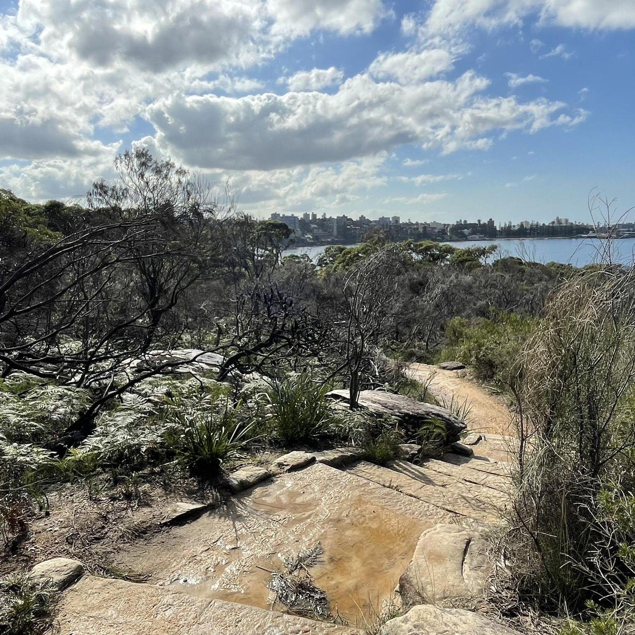
雨の後、Waterboard Roadのそばにある砂岩の崖から水が流れ落ち、Prestons Gullyのこの静かな一角が小さくも愛らしい滝に変わります。乾季には滝は印象的ではないので、タイミングが大きな違いを生みます。トラックのそばから見ることができますが、岩が不均一で、滝に命を吹き込むのに十分な水があるときは特に滑りやすくなるので注意してください。
0
0

レディ・キャリントン・ドライブは、ロイヤル・ナショナル・パークを10キロメートルにわたって伸びており、「ドライブ」という名前がついていますが、長らく自動車の乗り入れは禁止されています。1886年に一般公開された当初は、馬車が利用していました。現在では、ハイキング、ランニング、マウンテンバイクに人気の、広くて平坦で家族向けの未舗装のトレイルとなっています。トレイル沿いには、下にピクニックテーブルが置かれたユニークな岩の張り出しがいくつかあります。レディ・キャリントン・ドライブは、ハーキング川の東岸に沿って走り、高いブルーガムやターペンタインの森を縫うように続いています。トレイルには、オータリー地区のフィグ・ツリー・フラットにある北端から、またはサー・バートラム・スティーブンス・ドライブの南ゲートからアクセスできます。
0
0
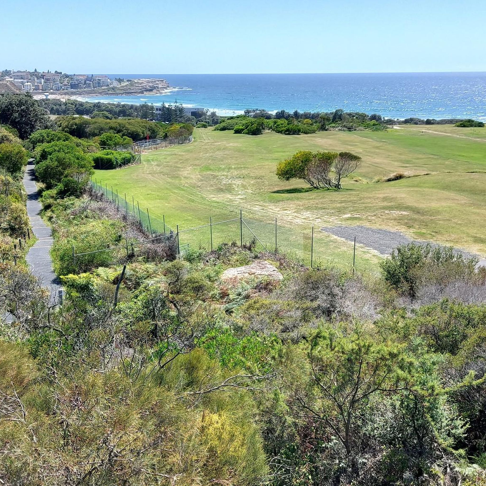
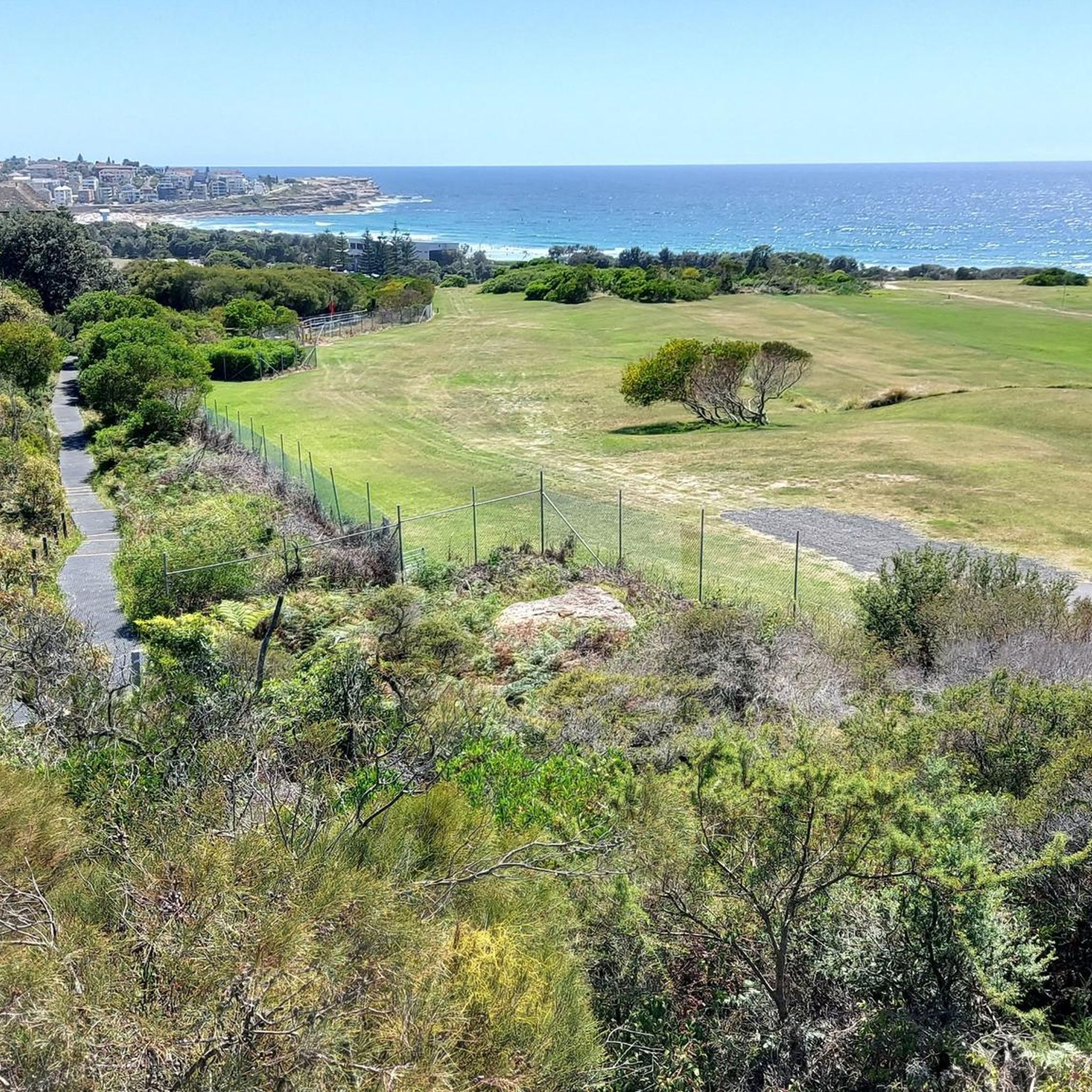
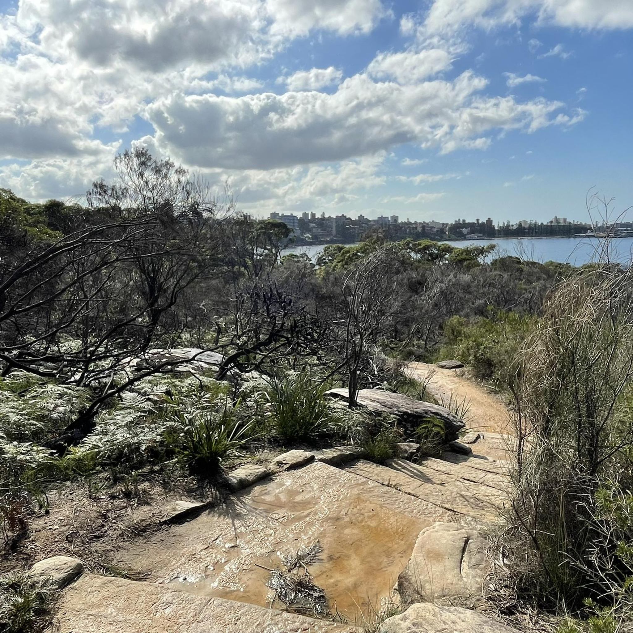
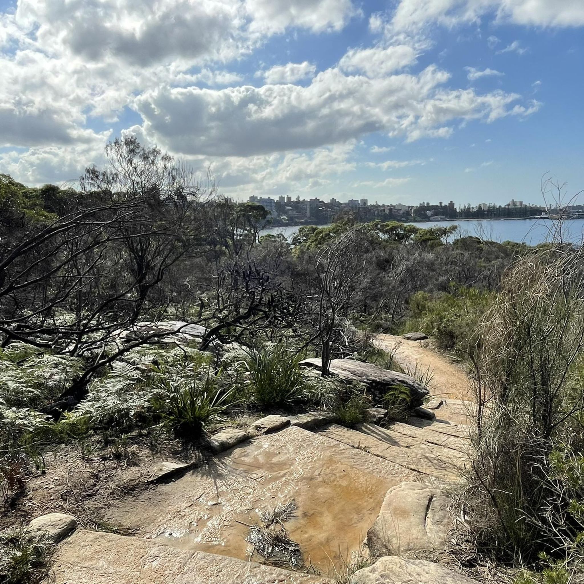
Tucked inside Cabbage Tree Bay, Shelly Beach is a sheltered cove and a favourite swimming spot at the northern end of Manly. Unlike most beaches along this stretch of coast, it faces west, which keeps the water calmer and makes it ideal for swimming, snorkelling, and stand-up paddleboarding. The beach sits within the protected Cabbage Tree Bay Aquatic Reserve, so it’s common to see fish close to shore in the clear water. A grassy reserve and café sit just behind the sand, making it an easy place to pause before continuing along the coastal path.
0
0
Cabbage Tree Bay Aquatic Reserve protects the clear waters between Manly Beach and Shelly Beach and is one of Sydney’s best spots to see marine life close to shore. Fishing is prohibited here, allowing fish populations to thrive, and snorkelers often spot blue gropers, rays, and large schools of fish in the calm bay. A popular underwater nature trail with information plaques sits just offshore near Shelly Beach. Even from the coastal path above, the protected bay’s clear water often reveals fish swimming below.
0
0
Pipeline Trail is a wide maintance road in Heathcote National Park, beginning near the end of Oliver Street and descending steadily into the Woronora valley. The surface is firm and consistent, making it popular for trail running and mountain biking as well as walking. In spring, sections of bushland are dotted with wildflowers. The track follows the Woronora River and passes Lake Eckersley, a calm bend with a sandy edge. Expect sustained climbs on the return, and stay alert for signage near restricted catchment areas.
0
0

The National Arboretum in Canberra has beautiful cycling tracks that run across the whole place. It’s perfect for mountain or gravel bikes. The natural scenery combined with the zen of flowing tracks and change in elevation means you could simply ride forever.
0
0

Good stop for wide range of reasonably priced food. Toilets at back -you need the key
0
0


komootモバイルアプリでインスピレーションを得よう


さらに探索
他の地域の最高のグラベルライドを見てみましょう。
