ベルクハイムでののおすすめグラベルライド
4.6
(74)
456
ライダー
47
ライド
komootがまとめたベルクハイムでののおすすめグラベルライドを参考にして、グラベルライドの魅力を最大限に楽しみましょう。難易度の高い登り坂や絶景のトレイルなど、あらゆるルートの中から厳選したベルクハイムでののグラベルライドをご覧ください。
最終更新日: 10月 6, 2026
33
ライダー
43.0km
02:31
100m
100m
中程度のグラベルライド. ある程度のフィットネスレベルが必要です。 全般的に舗装された状態です。あらゆるスキルレベルに適しています。
4.0
(13)
56
ライダー
39.2km
02:25
270m
270m
中程度のグラベルライド. ある程度のフィットネスレベルが必要です。 全般的に舗装された状態です。あらゆるスキルレベルに適しています。

3.5
(2)
24
ライダー
36.9km
01:50
100m
100m
初級者向けグラベルライド. あらゆるフィットネスレベルに適しています。 全般的に舗装された状態です。あらゆるスキルレベルに適しています。
5.0
(4)
19
ライダー
51.7km
02:46
290m
290m
中程度のグラベルライド. ある程度のフィットネスレベルが必要です。 全般的に舗装された状態です。あらゆるスキルレベルに適しています。
4.9
(8)
18
ライダー
27.4km
01:30
160m
160m
中程度のグラベルライド. ある程度のフィットネスレベルが必要です。 全般的に舗装された状態です。あらゆるスキルレベルに適しています。
さらに多くのルートや他のユーザーのおすすめ情報を確認できます。
すでにアカウントをお持ちですか?
おすすめのツアーは他のkomootユーザーが実際に経験した何千ものアクティビティに基づいています。
無料アカウントで今日から始めよう
次の冒険が待っています。
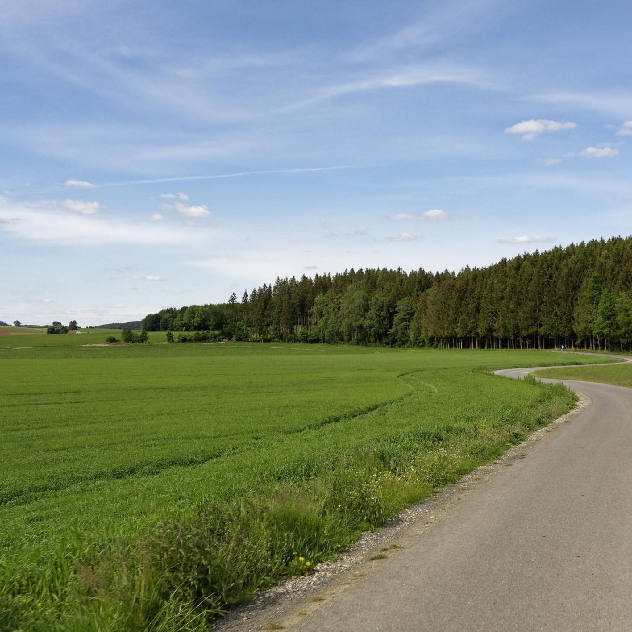
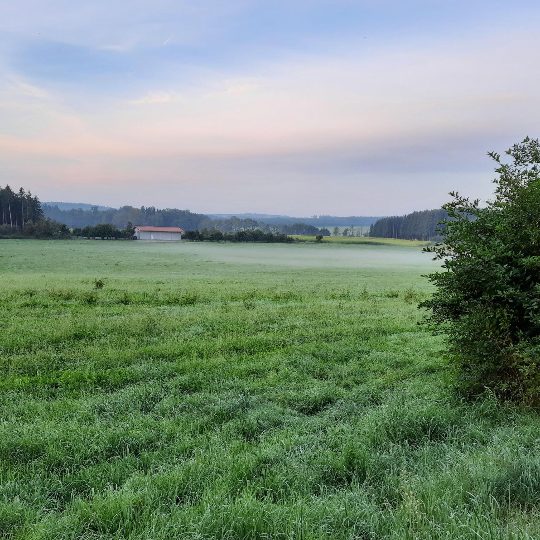
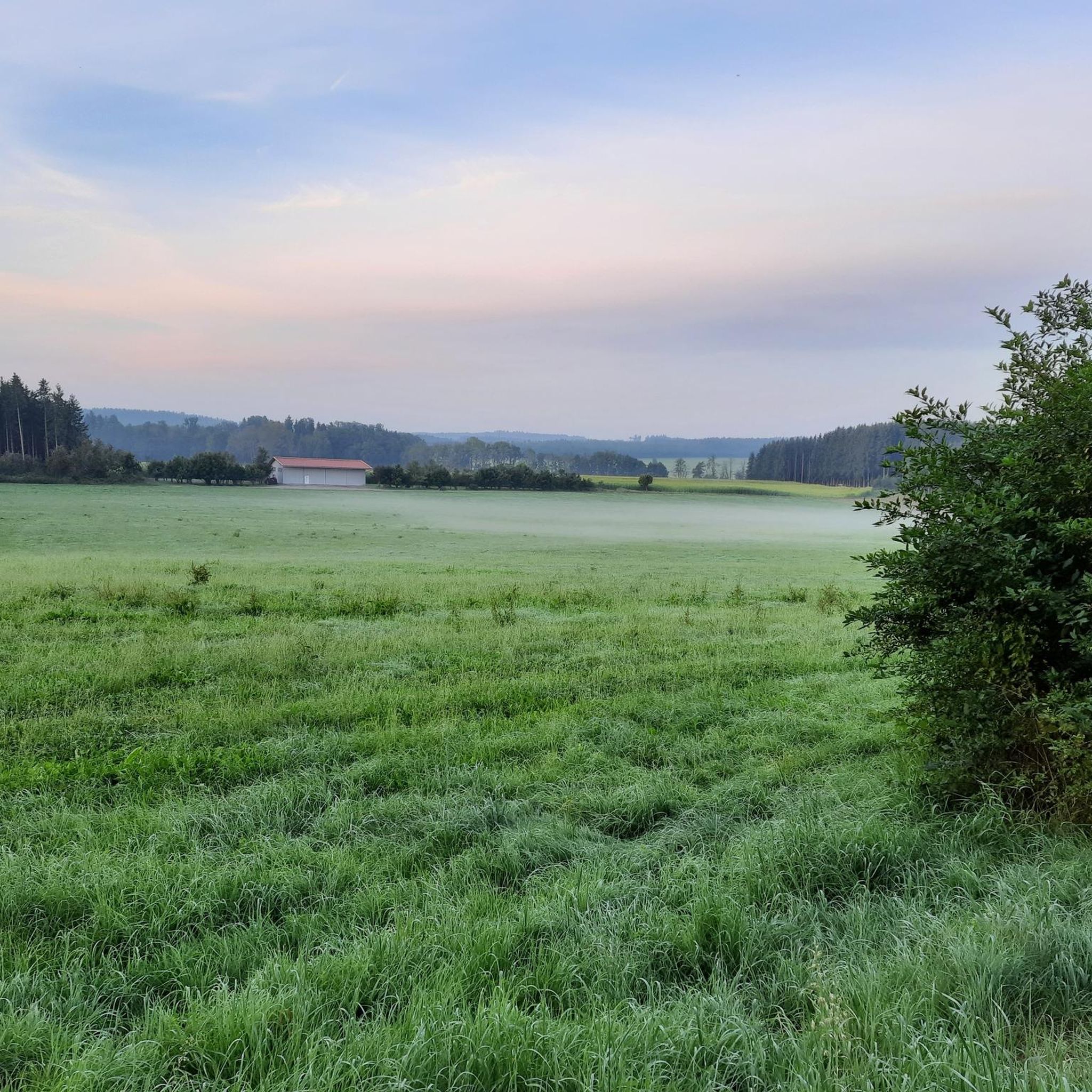
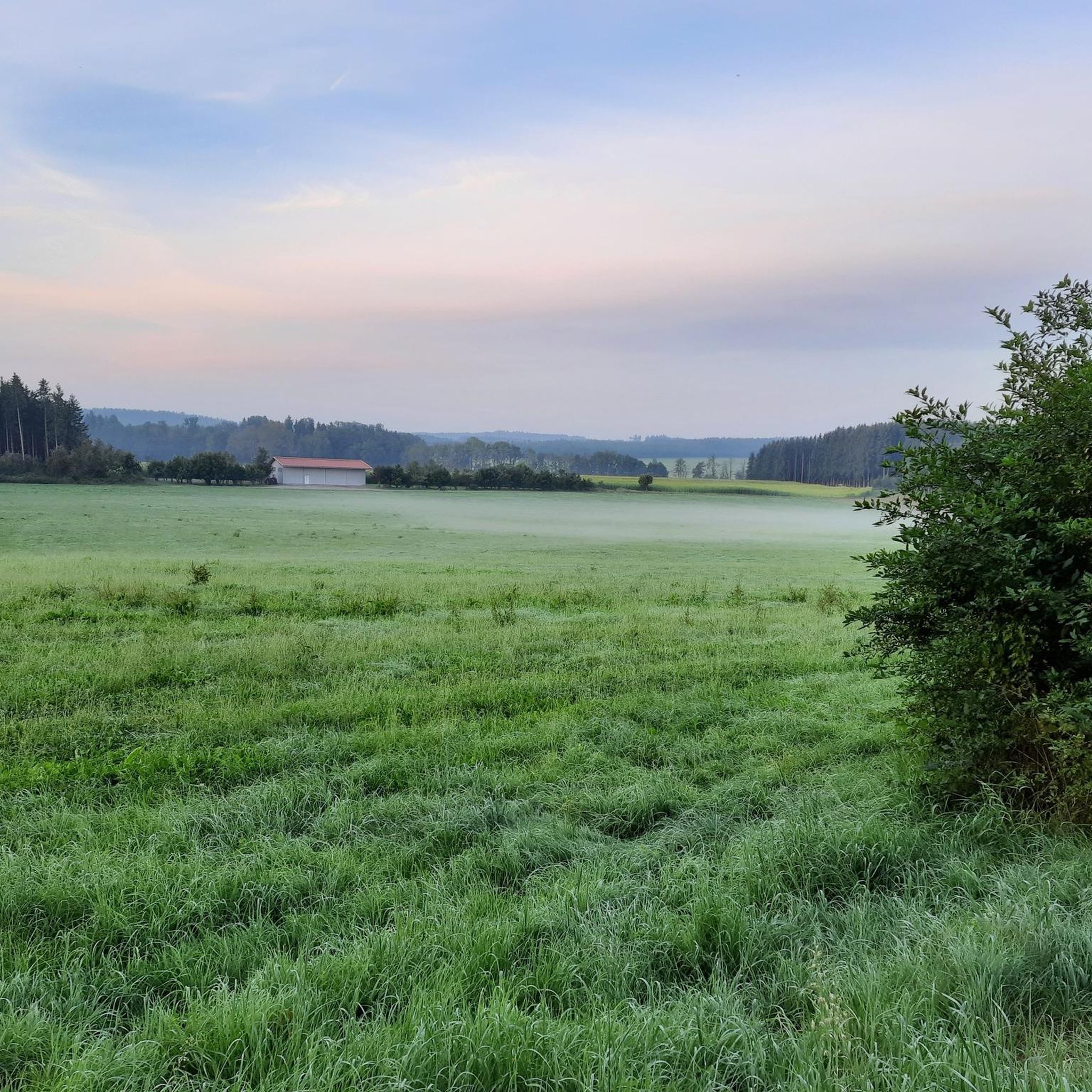
コミュニティからのヒント


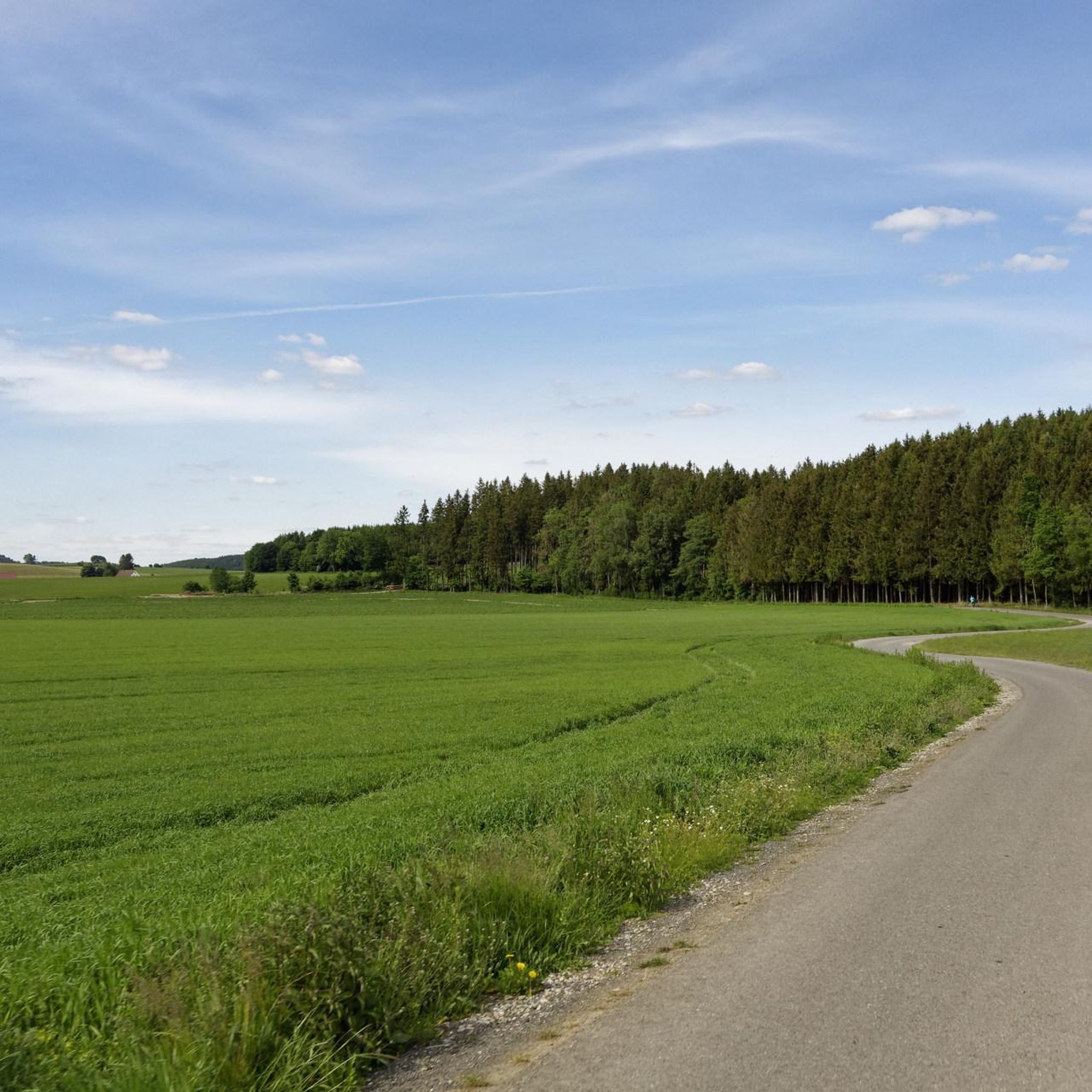
2025年の私の日付は全くのナンセンスでした。兄と私は2026年に建設作業員が仕事終わりした際に、建設現場までBuxheim方面へサイクリングしました。日中は絶対に走行しないでください、非常に危険です。Heimertingenを経由する迂回路はまだ存在しており、おそらく来年まで続くでしょう。完成すれば、いつになるかは分かりませんが、本当に素晴らしいものになる可能性があります。
0
0

The first evidence of settlement dates back to the Stone Age, as demonstrated by finds along the Iller River near Ferthofen. Records only reappear in the 4th century, as the Augsburg library was destroyed several times, resulting in the loss of documents. Mammingin was first mentioned in 1128. The city walls, towers, and gates were last expanded in 1445.
0
0

Well-maintained, safe crossing over the canal.
1
0

The hiking and cycling path runs in a straight line alongside the Iller River. The path is gravelled and grassy in the middle. Alongside the cycle path, you can see the floodplain forest. Between the Iller River and the cycle path, there is a grassy strip about 3 meters wide. Wildlife can probably be spotted here frequently, as there is a hunting lodge in between. At least the fish were also taken into consideration at the weir. A fish ladder is located along the edge.
0
0

Unfortunately a boring section
0
0
ベルクハイムでのの人気観光スポット

komootモバイルアプリでインスピレーションを得よう


さらに探索
他の地域の最高のグラベルライドを見てみましょう。
