オレンドルフでののおすすめグラベルライド
4.9
(27)
156
ライダー
2
ライド
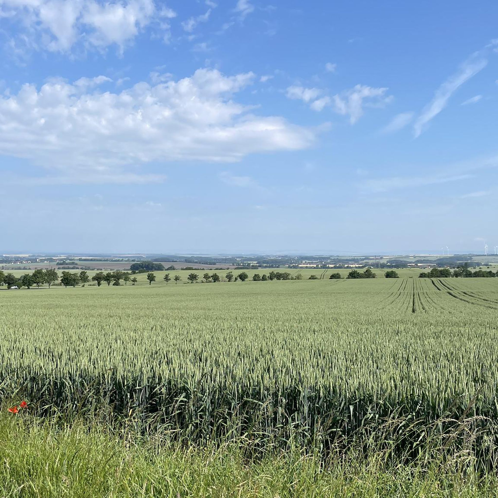
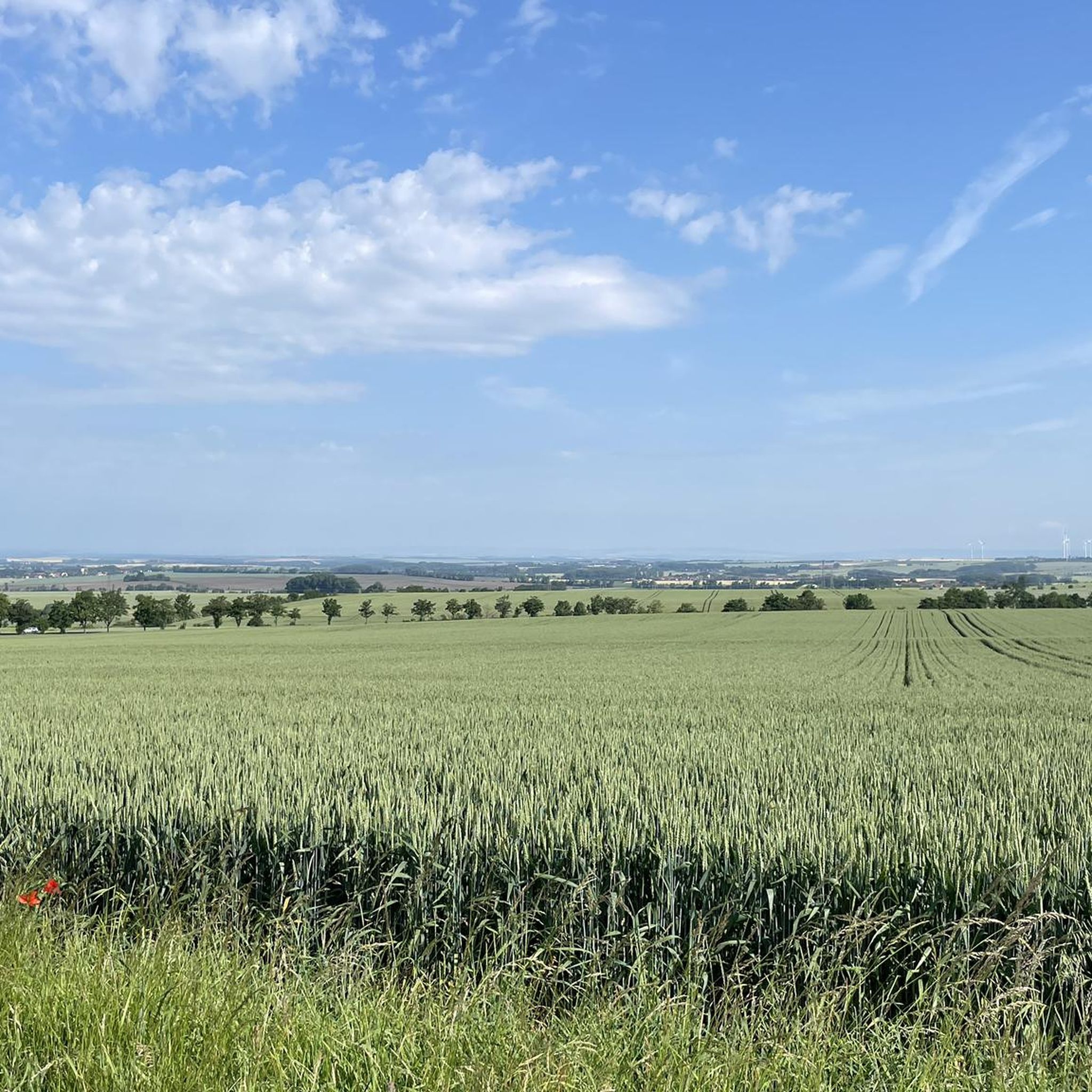
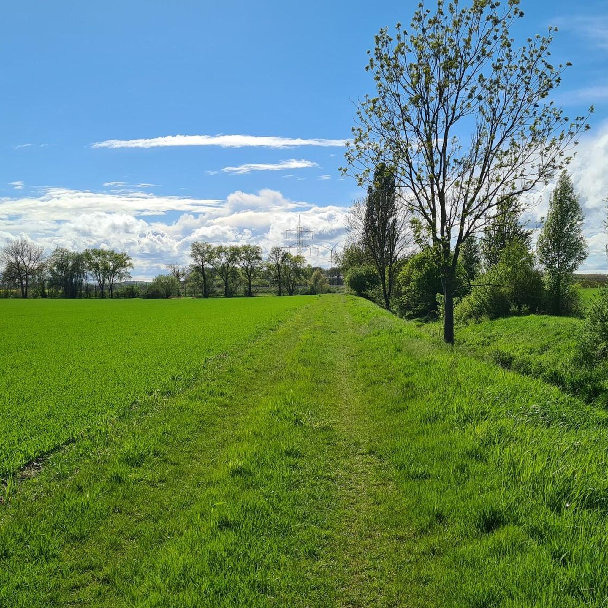
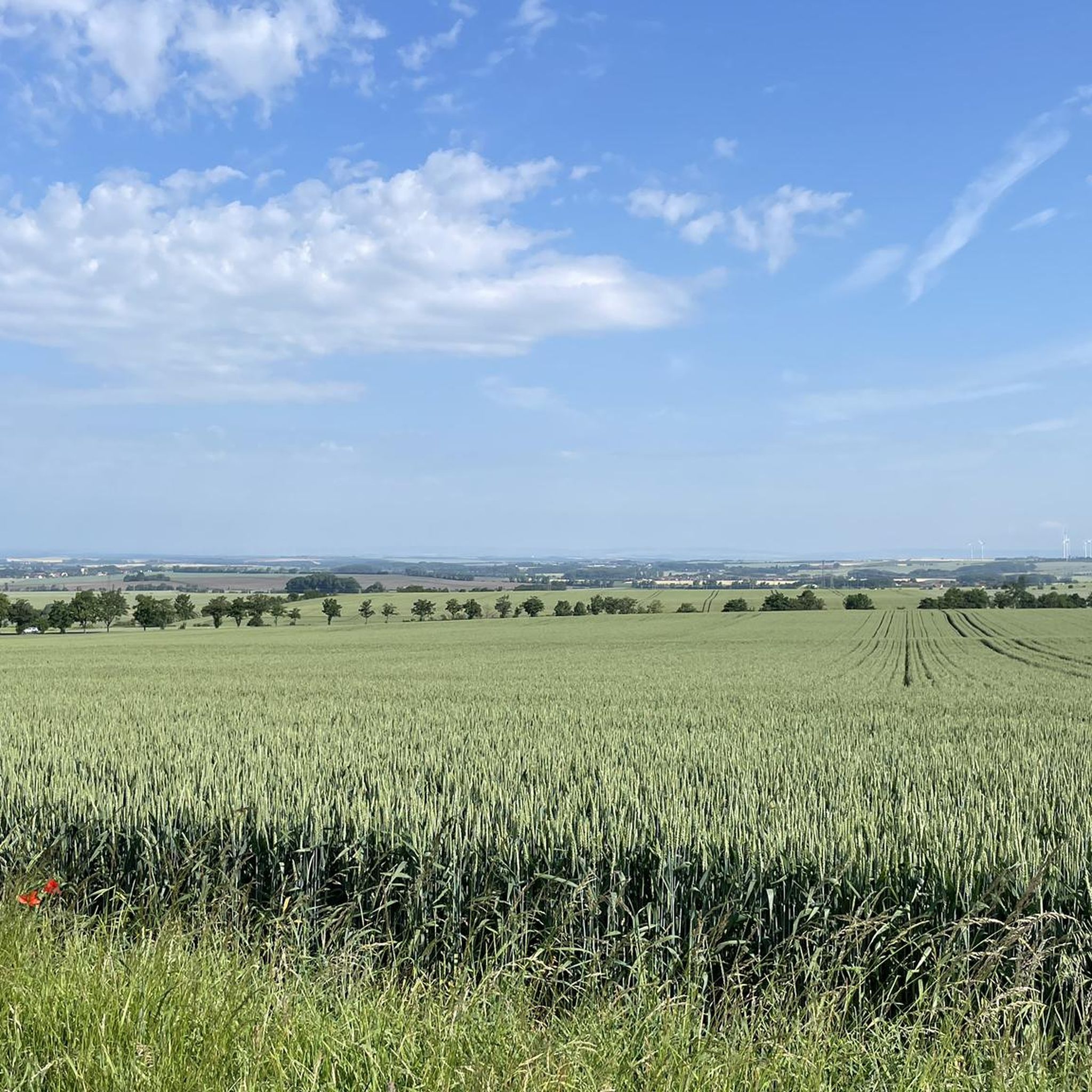
Gravelbike-Routen um Ollendorf sind eingebettet in eine abwechslungsreiche Landschaft, die von sanften Hügeln, weiten Wiesen und malerischen Waldabschnitten geprägt ist. Die Region liegt am Fuße des Geschriebensteins, was zu ihrem welligen Gelände beiträgt. Der unregulierte Fluss Lafnitz bildet zudem ein einzigartiges Biotop, das die über Radwege zugängliche natürliche Umgebung bereichert. Dieses Gebiet bietet eine Vielzahl von Gravelbike-Routen für unterschiedliche Fitness- und Könnensstufen.
Die besten Gravelbike-Routen um Ollendorf
- Die beliebteste Gravelbike-Route ist der Ilmtal-Radweg – Swingende Brücke Schleife von Weimar Berkaer…
最終更新日: 9月 9, 2026
5.0
(1)
19
ライダー
36.5km
02:19
490m
490m
難しいグラベルライド. 標準以上のフィットネスレベルが必要です。 全般的に舗装された状態です。あらゆるスキルレベルに適しています。
4.7
(18)
70
ライダー
37.0km
02:12
460m
460m
難しいグラベルライド. 標準以上のフィットネスレベルが必要です。 全般的に舗装された状態です。あらゆるスキルレベルに適しています。

5.0
(5)
44
ライダー
60.6km
03:38
620m
620m
難しいグラベルライド. 標準以上のフィットネスレベルが必要です。 全般的に舗装された状態です。あらゆるスキルレベルに適しています。
5.0
(3)
13
ライダー
53.5km
03:08
660m
660m
難しいグラベルライド. 標準以上のフィットネスレベルが必要です。 ツアーの一部で自転車を押して歩く必要があるかもしれません。
5.0
(1)
4
ライダー
32.7km
02:17
540m
540m
難しいグラベルライド. 標準以上のフィットネスレベルが必要です。 全般的に舗装された状態です。あらゆるスキルレベルに適しています。
おすすめのツアーは他のkomootユーザーが実際に経験した何千ものアクティビティに基づいています。
無料アカウントで今日から始めよう
次の冒険が待っています。
コミュニティからのヒント

よく整備されたサイクリングロード、いくつかのタイトなカーブ
1
0


Erfurt's old town is a real eye-catcher, consisting of many highlights.
0
0

Many apple and plum trees flank the cycle path here, but the cobblestone passage in Hopfgarten is not without
0
0
well-signposted and easy-to-ride route between the two cities, although there are a few meters of elevation to overcome
0
0

Easy-to-ride cycle path, partly gravel, otherwise good asphalt...
0
0

🏞️ Landscape & Location - Buchfart lies directly on the Ilm River, nestled in a narrow valley with steep, wooded limestone slopes. - The surrounding area is ideal for hikes, especially to the Balsamine, a viewpoint at an altitude of 340 meters. - The Ilm River winds its way through the valley here and offers a spectacular display of colors in autumn. --- 🕰️ History - First documented mention: 1348, by the knight Lutolf von Heitingsburg. - The place name is derived from "Furt" and "Buchenwald" – hence "Buchfart." - The area was already settled in the Neolithic period, as archaeological finds confirm. - The Buchfart Castle, a castle complex in the limestone cliff above the town, is shrouded in legend and was explored by the mineralogist Georgius Agricola as early as 1551. --- 🏛️ Sights - Historic Water Mill: The Pfeiffer Mill has been lovingly restored and now houses a meeting center for millers, a farm shop, and even a small village brewery. - Ilm Bridge: An old stone bridge connects the village districts and is a popular photo opportunity. - Village Church: Simple yet charming – a place of peace and history. --- 🧙♂️ Legends & Myths - The Buchfarter Caves are the setting for numerous legends – from ghosts guarding treasures to little men who lead bricklayers into underground passages. - The Schlossberg is also shrouded in legend and offers exciting stories for curious hikers.
0
0
オレンドルフでのの人気観光スポット

komootモバイルアプリでインスピレーションを得よう


さらに探索
他の地域の最高のグラベルライドを見てみましょう。
